Cullinghurst Wood

Wood, Forest in Sussex Wealden

England

Cullinghurst Wood

Roman road near Holtye Near Holtye a section of the Roman road from London to Lewes was excavated and bought for preservation by the Sussex Archaeological Society.
Roman road near Holtye Credit: Ron Strutt

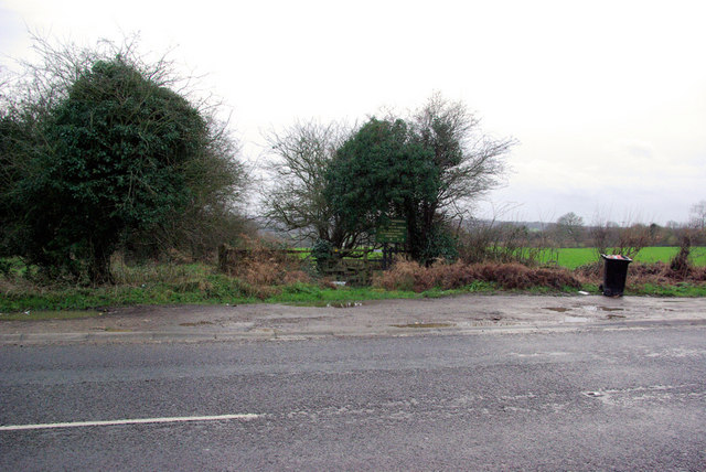
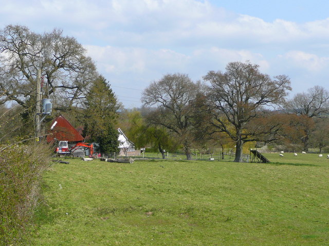
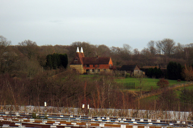
Cullinghurst Wood is a picturesque woodland located in the county of Sussex, in the southeast region of England. Spanning an area of approximately 100 acres, this enchanting forest offers visitors a tranquil escape from the hustle and bustle of daily life.

The wood is characterized by its diverse range of tree species, including oak, ash, beech, and birch, which create a rich and vibrant canopy overhead. The forest floor is blanketed with an array of wildflowers, ferns, and mosses, adding to its natural beauty and providing a habitat for various woodland creatures.

Walking through Cullinghurst Wood, one can encounter a plethora of wildlife, from squirrels and rabbits to deer and foxes. The wood is also home to a wide variety of bird species, making it a haven for birdwatchers and nature enthusiasts alike. The songs of songbirds fill the air, creating a symphony of sounds that only nature can provide.

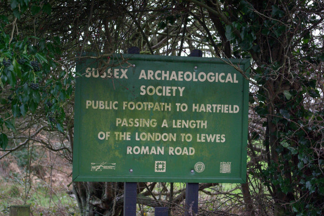
For those seeking a peaceful retreat, Cullinghurst Wood offers several well-marked trails, allowing visitors to explore its hidden nooks and crannies at their own pace. The winding paths lead to secluded clearings and babbling brooks, providing the perfect spots for a picnic or a moment of reflection.

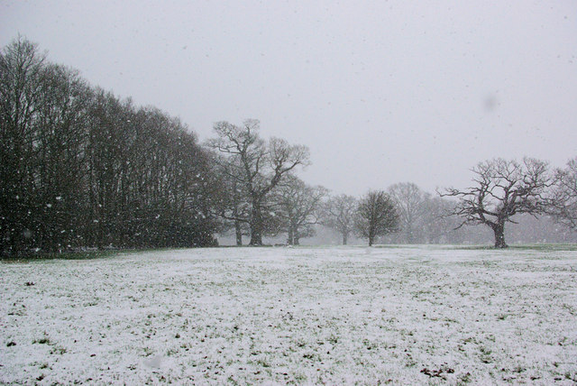
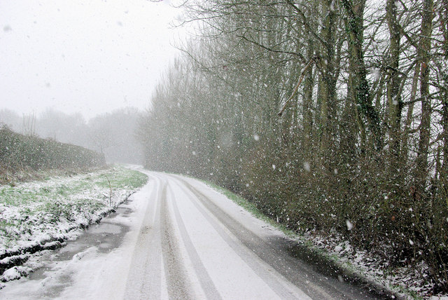
Cullinghurst Wood is a popular destination for both locals and tourists, drawing visitors year-round with its ever-changing scenery. Whether you visit during the vibrant colors of autumn, the fresh greenery of spring, or the snow-covered tranquility of winter, this woodland sanctuary offers a serene and captivating experience for all who venture into its embrace.

If you have any feedback on the listing, please let us know in the comments section below.

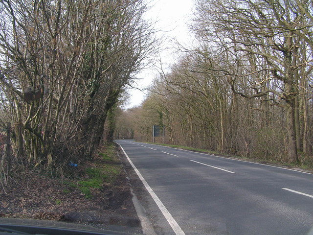
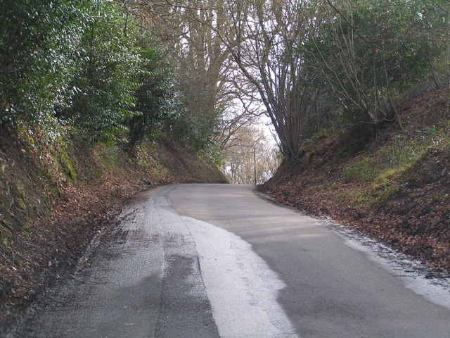
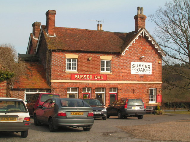
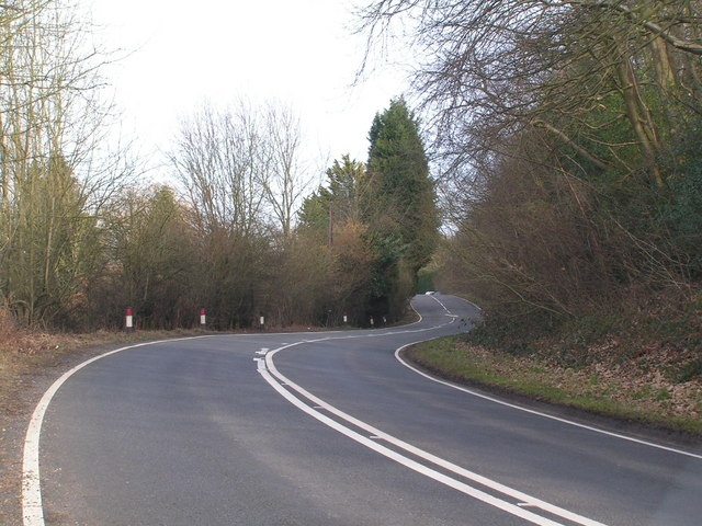
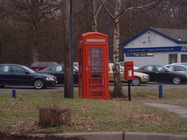
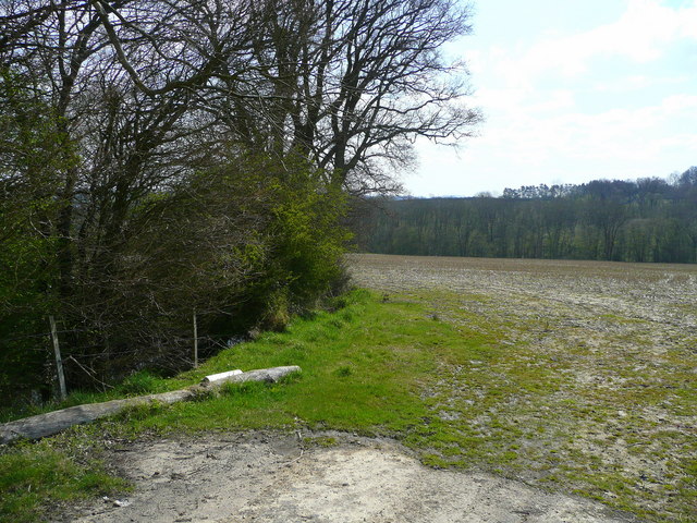
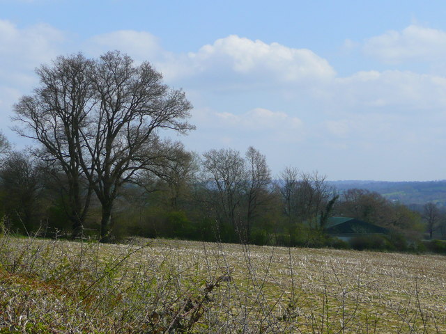
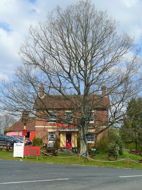
Cullinghurst Wood Images

Images are sourced within 2km of 51.133529/0.11258394 or Grid Reference TQ4739. Thanks to Geograph Open Source API. All images are credited.

Roman road near Holtye Near Holtye a section of the Roman road from London to Lewes was excavated and bought for preservation by the Sussex Archaeological Society.
Roman road near Holtye
Near Holtye a section of the Roman road from London to Lewes was excavated and bought for preservation by the Sussex Archaeological Society.
Bolebrook Castle Reputedly the earliest brick building in Sussex (around 1480) and legend has it that Henry VIII came here to hunt the deer, wild boar and woo Ann Boleyn who lived 5 miles away at Hever.
Bolebrook Castle
Reputedly the earliest brick building in Sussex (around 1480) and legend has it that Henry VIII came here to hunt the deer, wild boar and woo Ann Boleyn who lived 5 miles away at Hever.
The Road to Edenbridge (B2026) The B2026 runs 20 miles north - south from Westerham to Maresfield, via Edenbridge. It crosses Ashdown Forest.
<span class="nowrap"><a title="http://www.sabre-roads.org.uk/wiki/index.php?title=B2026" rel="nofollow ugc noopener" href="http://www.sabre-roads.org.uk/wiki/index.php?title=B2026">Link</a><img style="margin-left:2px;" alt="External link" title="External link - shift click to open in new window" src="https://s1.geograph.org.uk/img/external.png" width="10" height="10"/></span>
The Road to Edenbridge (B2026)
The B2026 runs 20 miles north - south from Westerham to Maresfield, via Edenbridge. It crosses Ashdown Forest. LinkExternal link
Kentish Byway
Kentish Byway
Sussex Oak Public House A large roadside inn on the A264 Tunbridge Wells to East Grinstead Road.
Sadly now closed, see <a href="https://www.geograph.org.uk/photo/2944951">TQ4839 : Formerly The Sussex Oak</a>
Sussex Oak Public House
A large roadside inn on the A264 Tunbridge Wells to East Grinstead Road. Sadly now closed, see TQ4839 : Formerly The Sussex Oak
A264 Tunbridge Wells to East Grinstead road, not too busy!
A264
Tunbridge Wells to East Grinstead road, not too busy!
A264 crossing of London-Lewes Roman Road The start of a footpath which passes further downhill a preserved section of Roman Road. The sign draws attention to this.
A264 crossing of London-Lewes Roman Road
The start of a footpath which passes further downhill a preserved section of Roman Road. The sign draws attention to this.
Roman Road sign on A264 A sign at the start of a path which passes a preserved section of Roman Road.
Roman Road sign on A264
A sign at the start of a path which passes a preserved section of Roman Road.
B2026 by Tye Farm Cottages A snowy morning, but a well salted road.
B2026 by Tye Farm Cottages
A snowy morning, but a well salted road.
In the Snow The general direction of the footpath to Lodgefield Farm.
In the Snow
The general direction of the footpath to Lodgefield Farm.
Beech Green Lane in the Snow Falling snow confuses autofocus greatly.
Beech Green Lane in the Snow
Falling snow confuses autofocus greatly.
Red Telephone Box at B2026 crossroads near Holtye Red K6 telephone box at A264/B2026 crossroads near Holtye.
Red Telephone Box at B2026 crossroads near Holtye
Red K6 telephone box at A264/B2026 crossroads near Holtye.
Wealden field south of Blackham The soil lies damp here.
Wealden field south of Blackham
The soil lies damp here.
Unploughed field near Blackham A building at Stephnett's Farm can just be seen.
Unploughed field near Blackham
A building at Stephnett's Farm can just be seen.
The Sussex Oak Both pub and tree alongside the A264 between Ashurst and Holtye.
The welcome sight of Shepherd Neame's scarlet signage!
The Sussex Oak
Both pub and tree alongside the A264 between Ashurst and Holtye. The welcome sight of Shepherd Neame's scarlet signage!
Field by Blackham Lane View north from the junction with the A264 by the Sussex Oak.
Field by Blackham Lane
View north from the junction with the A264 by the Sussex Oak.
The Oast, Bassetts Manor, Buctherfield Lane, Hartfield, East Sussex
Perryhill Oast, Perryhill, Hartfield, East Sussex
Show me another place!

Cullinghurst Wood is located at Grid Ref: TQ4739 (Lat: 51.133529, Lng: 0.11258394)

Administrative County: East Sussex

District: Wealden

Police Authority: Sussex

What 3 Words

///figure.soccer.hoping. Near Groombridge, East Sussex

Related Wikis

Bolebroke Castle

Bolebroke Castle is a 15th-century hunting lodge located north of the village of Hartfield, East Sussex, England. It is a Grade II* listed building.The...

Bolebroke Castle Miniature Railway

The Bolebroke Castle Miniature Railway or Bolebroke Castle and Lakes Railway (often abbreviated to BC&LR) was a 7+1⁄4 inches (180 mm) railway that ran...

Cowden

Cowden () is a small village and civil parish in the Sevenoaks District of Kent, England. The parish is located on the northern slopes of the Weald, south...

Bassetts Manor

Bassetts Manor is a Grade II-listed building in Hartfield, East Sussex, England. == Location == The manor is located North of the village of Hartfield...

Blackham

Blackham is a village in the Wealden district of East Sussex. It lies within the Withyham civil parish. Its nearest town is Royal Tunbridge Wells, which...

Mills Rocks

Mills Rocks is a 1.9-hectare (4.7-acre) biological Site of Special Scientific Interest south-east of East Grinstead in West Sussex.This site has rock outcrops...

Cowden rail crash

The Cowden rail crash occurred on 15 October 1994, near Cowden Station in Kent (UK), when two trains collided head-on, killing five and injuring thirteen...

Cowden Meadow

Cowden Meadow is a 1.1-hectare (2.7-acre) biological Site of Special Scientific Interest east of Cowden in Kent.This site has flora which are found on...

Nearby Amenities

Located within 500m of 51.133529,0.11258394
Removed Amenity: telephone
Lat/Long: 51.1317894/0.1085706
Post Box
Post Box Type: lamp
Ref: TN8 182
Royal Cypher: EIIR
Royal Cypher Wikidata: Q33102113
Lat/Long: 51.1317479/0.1086044
Power: tower
Lat/Long: 51.1306788/0.1140972
Power: tower
Lat/Long: 51.1316704/0.1172573
Give Way
Direction: forward
Lat/Long: 51.1315068/0.1092435
Give Way
Direction: backward
Lat/Long: 51.1315856/0.1084519
SUSSEX CARAVAN CENTRE EAST
Addr Postcode: TN8 7EA
Addr Street: Colestock Cross
Opening Hours: Mo-Sa 09:00-17:00; Su 10:00-16:00
Phone: +44 1342851393
Shop: outdoor
Website: https://www.sussexcaravancentre.co.uk
Lat/Long: 51.1318106/0.1091141
The data included in this document is from www.openstreetmap.org. The data is made available under ODbL.

Have you been to Cullinghurst Wood?

Leave your review of Cullinghurst Wood below (or comments, questions and feedback).