Coopersale

Settlement in Essex Epping Forest

England

Coopersale

Evidence of the former Underground line This is the view from a train on the Epping Ongar Heritage Railway at the point where trains return to North Weald station. It is just 100 metres between the end of the Epping Ongar running line and the end of the Central Line. The fact that the line was electrified between 1957 and its closure in 1994 can be seen in artefacts as here. 

For more about the history of the line see <span class="nowrap"><a title="https://www.eorailway.co.uk/the-railway/history/" rel="nofollow ugc noopener" href="https://www.eorailway.co.uk/the-railway/history/">Link</a><img style="margin-left:2px;" alt="External link" title="External link - shift click to open in new window" src="https://s1.geograph.org.uk/img/external.png" width="10" height="10"/></span>  and <a title="https://www.geograph.org.uk/photo/4386768" href="https://www.geograph.org.uk/photo/4386768">Link</a>  which has a photograph of the link now between the Central line and the Epping Ongar Railway.
Evidence of the former Underground line Credit: Marathon

Coopersale is a small village located in the county of Essex, England. Situated approximately 18 miles northeast of London, Coopersale is part of the civil parish of Theydon Garnon. The village is nestled in a picturesque rural setting, surrounded by lush green fields and rolling countryside.

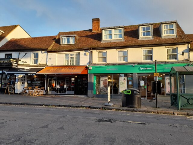
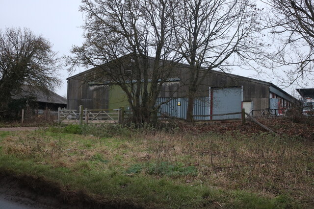
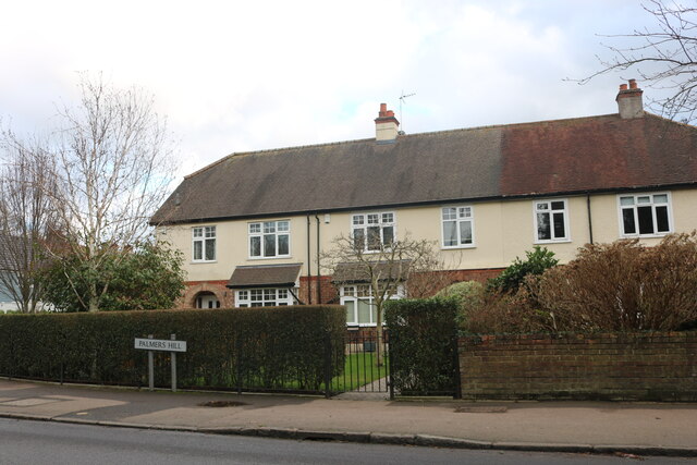
Coopersale is known for its charming and quaint atmosphere, with a population of around 300 residents. The village retains much of its historic character, with a number of well-preserved buildings dating back several centuries. The architecture is a mix of traditional English styles, including timber-framed cottages and thatched roofs.

Despite its small size, Coopersale has a strong sense of community, with various social and recreational activities taking place throughout the year. The village hall serves as a hub for gatherings and events, providing a space for locals to come together.

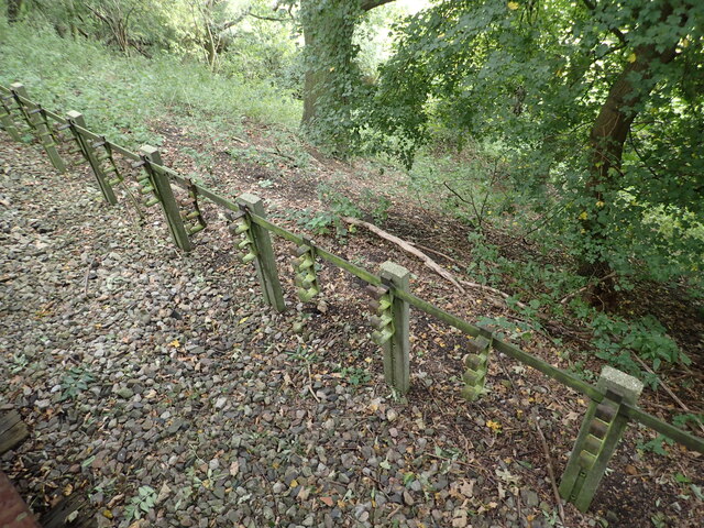
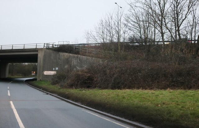
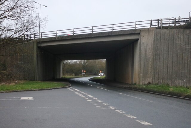
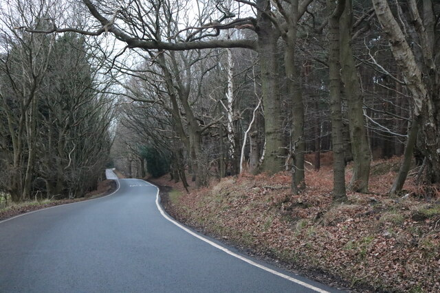
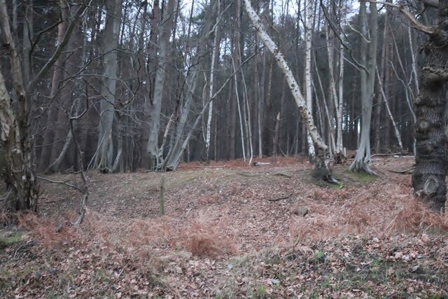
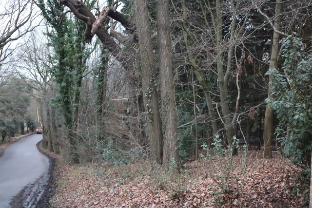
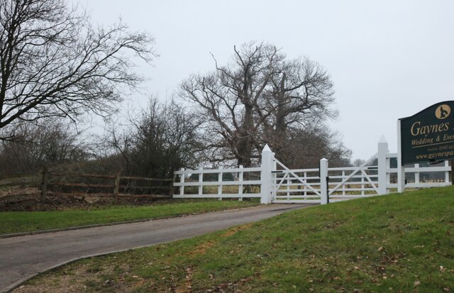
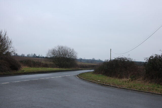
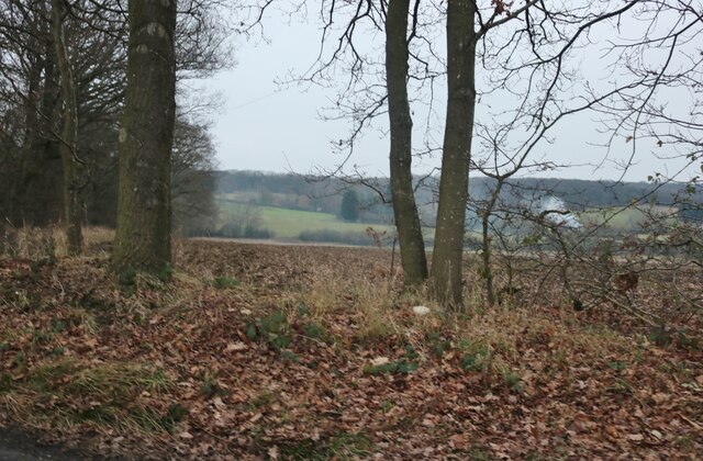
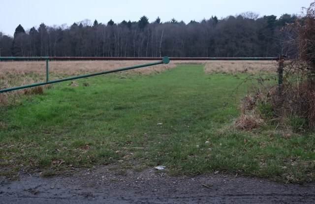
Surrounding Coopersale, there are ample opportunities for outdoor activities and exploration. The nearby Epping Forest offers a beautiful natural landscape, with walking trails and bike paths for visitors to enjoy. Additionally, the village is conveniently located near major transport links, allowing for easy access to nearby towns and cities.

Coopersale provides a peaceful and idyllic countryside retreat, while still being within reach of the amenities and attractions of the surrounding area. With its rich history, strong community spirit, and beautiful surroundings, Coopersale is a charming destination for residents and visitors alike.

If you have any feedback on the listing, please let us know in the comments section below.
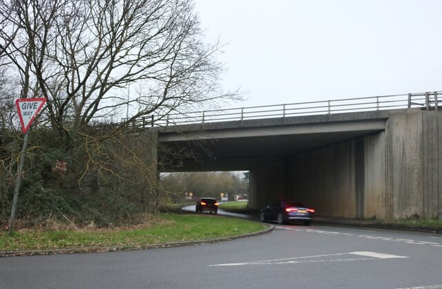
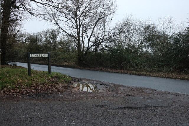
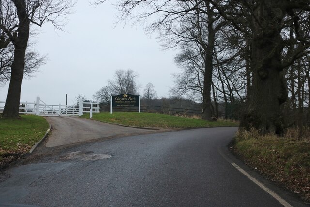
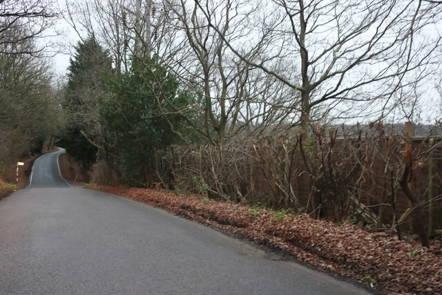
Coopersale Images

Images are sourced within 2km of 51.703652/0.13511677 or Grid Reference TL4702. Thanks to Geograph Open Source API. All images are credited.

Evidence of the former Underground line This is the view from a train on the Epping Ongar Heritage Railway at the point where trains return to North Weald station. It is just 100 metres between the end of the Epping Ongar running line and the end of the Central Line. The fact that the line was electrified between 1957 and its closure in 1994 can be seen in artefacts as here. 

For more about the history of the line see <span class="nowrap"><a title="https://www.eorailway.co.uk/the-railway/history/" rel="nofollow ugc noopener" href="https://www.eorailway.co.uk/the-railway/history/">Link</a><img style="margin-left:2px;" alt="External link" title="External link - shift click to open in new window" src="https://s1.geograph.org.uk/img/external.png" width="10" height="10"/></span>  and <a title="https://www.geograph.org.uk/photo/4386768" href="https://www.geograph.org.uk/photo/4386768">Link</a>  which has a photograph of the link now between the Central line and the Epping Ongar Railway.
Evidence of the former Underground line
This is the view from a train on the Epping Ongar Heritage Railway at the point where trains return to North Weald station. It is just 100 metres between the end of the Epping Ongar running line and the end of the Central Line. The fact that the line was electrified between 1957 and its closure in 1994 can be seen in artefacts as here. For more about the history of the line see LinkExternal link and Link which has a photograph of the link now between the Central line and the Epping Ongar Railway.
Shops on High Street Epping
Mount Road going beneath the M25
Mount Road at the end of Banks Lane
Banks Lane, Mount End By Gaynes Park wedding venue <span class="nowrap"><a title="https://gaynespark.co.uk/" rel="nofollow ugc noopener" href="https://gaynespark.co.uk/">Link</a><img style="margin-left:2px;" alt="External link" title="External link - shift click to open in new window" src="https://s1.geograph.org.uk/img/external.png" width="10" height="10"/></span>
Banks Lane, Mount End
By Gaynes Park wedding venue LinkExternal link
Banks Lane, Mount End
Banks Lane, Mount End Going through High Warren
Banks Lane, Mount End
Going through High Warren
High Warren, Mount End
Banks Lane, Mount End
The entrance to Gaynes Park wedding venue <span class="nowrap"><a title="https://gaynespark.co.uk/" rel="nofollow ugc noopener" href="https://gaynespark.co.uk/">Link</a><img style="margin-left:2px;" alt="External link" title="External link - shift click to open in new window" src="https://s1.geograph.org.uk/img/external.png" width="10" height="10"/></span>
The entrance to Gaynes Park wedding venue
Barn at Horne Farm, Mount End
Mount Road at the end of Hobbs Cross Road
View from Banks Lane, Mount End
Gravelpit Wood, Mount End
Houses on Palmers Hill, Epping
Epping High Street at the corner of Station Road
Show me another place!

Coopersale is located at Grid Ref: TL4702 (Lat: 51.703652, Lng: 0.13511677)

Administrative County: Essex

District: Epping Forest

Police Authority: Essex

What 3 Words

///woven.flag.bring. Near Epping, Essex

Related Wikis

Coopersale

Coopersale, also termed Coopersale Common, is a village in the civil parish of Epping, within the Epping Forest District of Essex, England. In 2018 it...
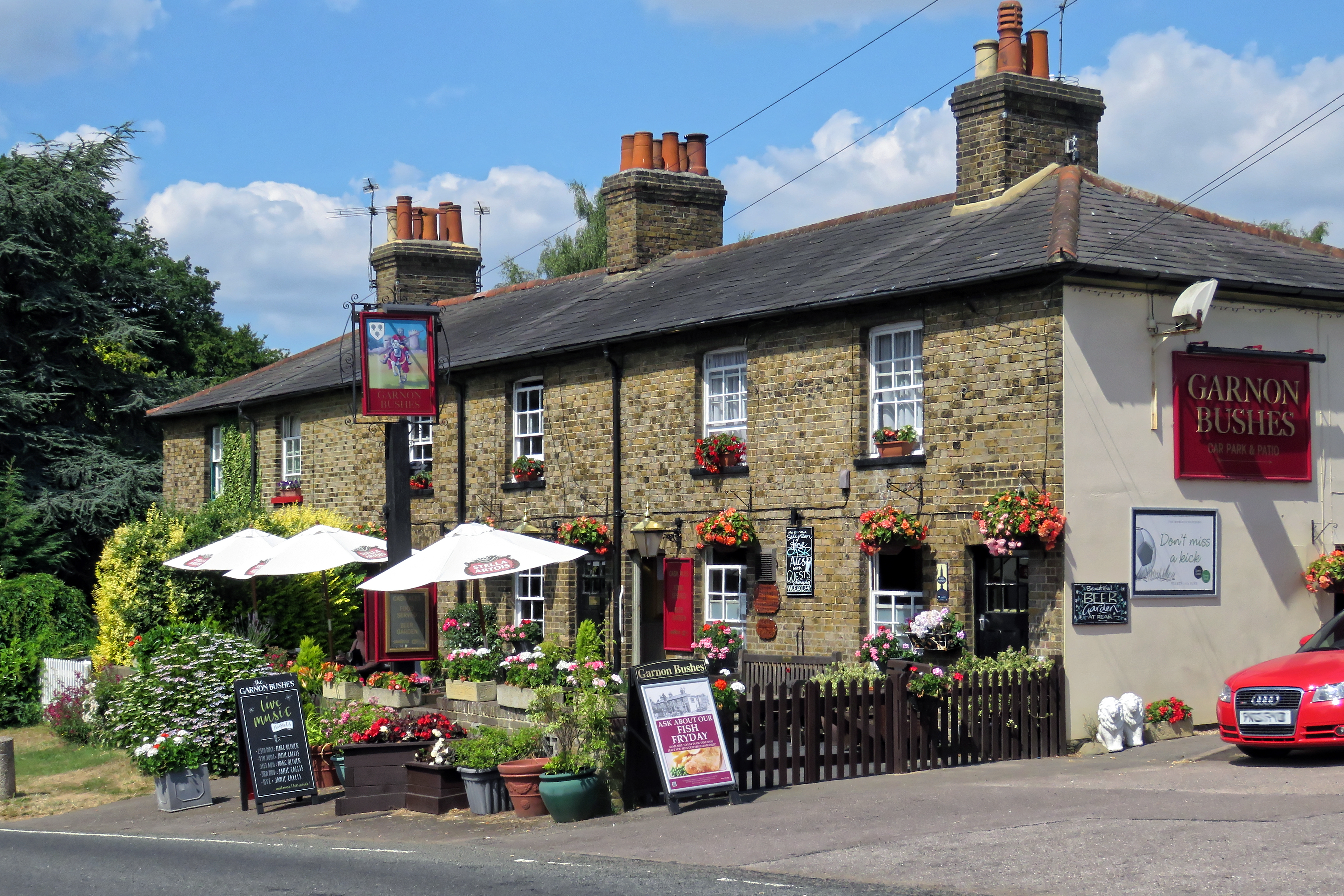
Gernon Bushes

Gernon Bushes is a 32 hectare nature reserve north-east of Epping in Essex. It is managed by the Essex Wildlife Trust. It is part of the Epping Forest...

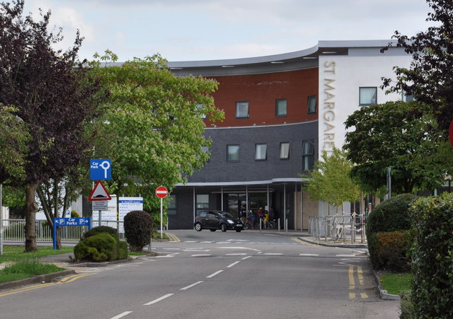
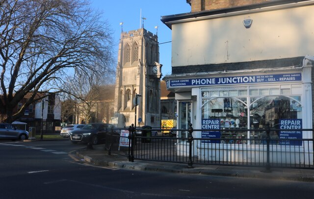
St Margaret's Hospital, Epping

St Margaret's Hospital is a hospital in Epping, Essex. It is managed by the Princess Alexandra Hospital NHS Trust. == History == The hospital has its origins...

Epping Town F.C.

Epping Town Football Club is a football club based in Epping, Essex, England, currently playing in the Essex Olympian League Division One. == History... ==

Coopersale Street

Coopersale Street is a hamlet in the civil parish of Epping, within the Epping Forest District of Essex, England, and is 1,300 yards (1,000 m) east from...

Roughtalley's Wood

Roughtalley's Wood is a 3.4 hectare Local Nature Reserve in Theydon Garnon parish in Essex, England. It is owned and managed by Epping Forest District...

Fiddlers Hamlet

Fiddlers Hamlet is a hamlet in the civil parish of Epping, within the Epping Forest District of Essex, England, and is 1 mile (1.6 km) south-east from...

Epping tube station

Epping is a London Underground station in the market town of Epping in Essex, England. The station serves as the north-eastern terminus of the Central...

Nearby Amenities

Located within 500m of 51.703652,0.13511677
Created By: YahooApplet 1.0
Lat/Long: 51.7077428/0.1360833
Created By: YahooApplet 1.0
Lat/Long: 51.7072707/0.1352465
Created By: YahooApplet 1.0
Lat/Long: 51.7068718/0.1345813
Created By: YahooApplet 1.0
Lat/Long: 51.7066059/0.1341951
Created By: YahooApplet 1.0
Lat/Long: 51.7063001/0.1338839
Created By: YahooApplet 1.0
Lat/Long: 51.7051698/0.132854
Created By: YahooApplet 1.0
Lat/Long: 51.7045847/0.1322853
Created By: YahooApplet 1.0
Lat/Long: 51.7042788/0.1319098
Created By: YahooApplet 1.0
Lat/Long: 51.7039863/0.1315236
Created By: YahooApplet 1.0
Lat/Long: 51.7033546/0.1306116
Railway: crossing
Lat/Long: 51.7030347/0.1300737
Created By: YahooApplet 1.0
Lat/Long: 51.702723/0.1295066
Created By: YahooApplet 1.0
Lat/Long: 51.7024371/0.1288628
Created By: YahooApplet 1.0
Lat/Long: 51.7022708/0.1284873
Coopersale
Created By: YahooApplet 1.1
Place: village
Source: npe
Wikidata: Q2191942
Lat/Long: 51.7050169/0.1350534
Piazza
Naptan AtcoCode: 1500IM906
Naptan Bearing: S
Naptan BusStopType: CUS
Naptan CommonName: Piazza
Naptan Crossing: Institute Road
Naptan Indicator: S-bound
Naptan Landmark: Piazza
Naptan NaptanCode: esxadgta
Naptan Street: Coopersale Common
Naptan Verified: no
Public Transport: platform
Source: naptan_import
Lat/Long: 51.7049202/0.1357101
Piazza
Naptan AtcoCode: 1500IM906Y
Naptan Bearing: N
Naptan BusStopType: CUS
Naptan CommonName: Piazza
Naptan Crossing: Institute Road
Naptan Indicator: N-bound
Naptan Landmark: Piazza
Naptan NaptanCode: esxjadaj
Naptan Street: Coopersale Common
Naptan Verified: no
Public Transport: platform
Source: naptan_import
Lat/Long: 51.7048866/0.1355572
Turning Circle
Lat/Long: 51.7049272/0.1383426
Turning Circle
Lat/Long: 51.7048334/0.1375112
Gernon Bushes Nature Reserve
Source: visit... information board on the forest reserve
Tourism: information
Lat/Long: 51.702519/0.1350459
Place Of Worship
The Ark
Religion: christian
Source: visit
Lat/Long: 51.7023536/0.1346064
Gernon Bushes Nature Reserve
Tourism: information
Lat/Long: 51.7065024/0.1380343
Gernon Bushes Nature Reserve
Place: locality
Source: visit
Lat/Long: 51.7035767/0.1417813
Hambrook
Addr Housename: Hambrook
Addr Postcode: CM16 7RE
Addr Street: Parklands
Shop: convenience
Source: visit
Lat/Long: 51.7053116/0.1361378
Post Office
Addr Housenumber: 30
Addr Postcode: CM16 7RE
Addr Street: Parklands
Brand: Post Office
Operator: Handy Stores
Source: visit
Lat/Long: 51.7053146/0.1360389
Post Box
Lat/Long: 51.705312/0.1357037
Restaurant
Herb 'N' Spice Tandoori
Addr Housenumber: 31-32
Addr Postcode: CM16 7RE
Addr Street: Parklands
Cuisine: indian
Source: visit
Lat/Long: 51.7053147/0.1359246
C.M.L. Hair Studio
Addr Housename: C.M.L. Hair Studio
Addr Housenumber: 28
Addr Postcode: CM16 7RE
Addr Street: Parklands
Shop: hairdresser
Source: visit
Lat/Long: 51.7053122/0.1362122
Turning Circle
Lat/Long: 51.7054861/0.1373717
Fixme: link?
Lat/Long: 51.7066864/0.1378918
Entrance: yes
Lat/Long: 51.7046888/0.1345543
The data included in this document is from www.openstreetmap.org. The data is made available under ODbL.

Have you been to Coopersale?

Leave your review of Coopersale below (or comments, questions and feedback).