Cooper's Hill
Settlement in Gloucestershire Tewkesbury
England
Cooper's Hill
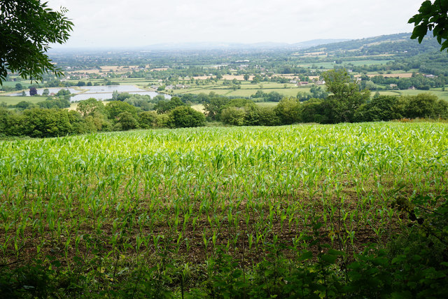
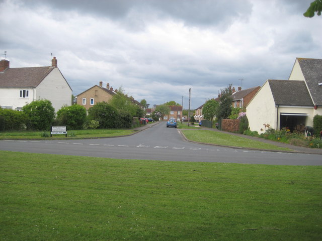
Cooper's Hill is a prominent landmark located in Gloucestershire, England. Situated on the outskirts of the town of Brockworth, it is renowned for its picturesque beauty and historical significance. The hill rises to a height of approximately 220 meters (720 feet) and offers stunning panoramic views of the surrounding countryside.
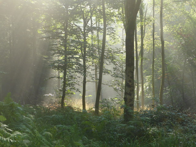
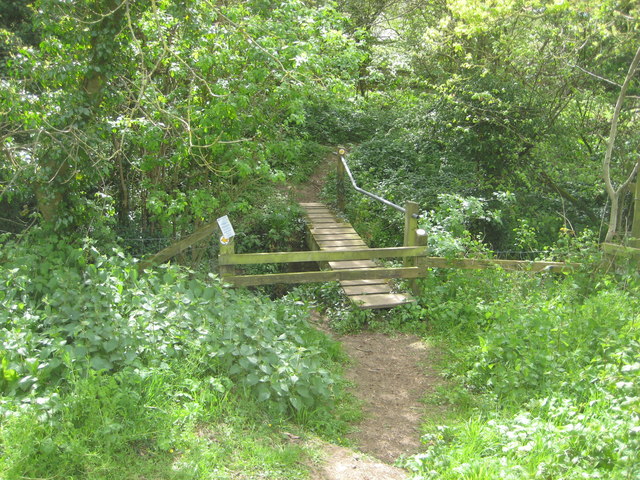
The area surrounding Cooper's Hill is predominantly rural, covered with lush green meadows and dense woodlands, making it a popular destination for nature enthusiasts and hikers. The hill itself is characterized by its steep slopes and rugged terrain, providing an exciting challenge for adventurous visitors.
Cooper's Hill also holds cultural significance as the birthplace of the traditional cheese-rolling event, which takes place annually on the Spring Bank Holiday. This unique and exhilarating event involves participants chasing a wheel of Double Gloucester cheese down the hill, risking tumbles and falls in the process. It attracts both locals and tourists from all over the world, adding to the area's charm and appeal.
In addition to its natural and cultural attractions, Cooper's Hill is home to a variety of wildlife, including deer, rabbits, and numerous bird species. The hill is also dotted with ancient archaeological remains, such as Iron Age hillforts, adding to its historical allure.
Overall, Cooper's Hill in Gloucestershire offers a delightful combination of natural beauty, cultural heritage, and adventurous pursuits, making it a must-visit destination for those seeking a memorable experience in the heart of the English countryside.
If you have any feedback on the listing, please let us know in the comments section below.
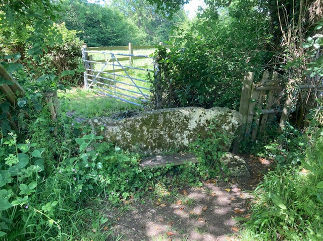
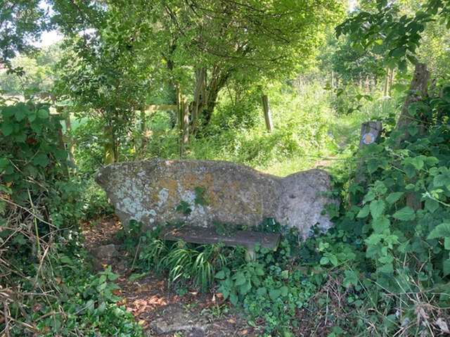
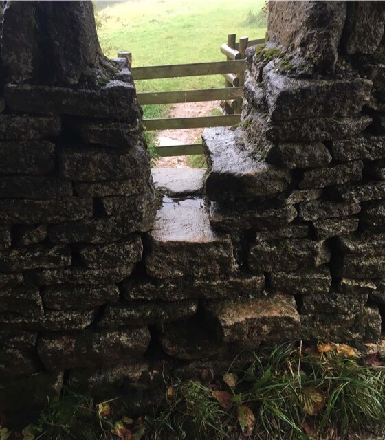
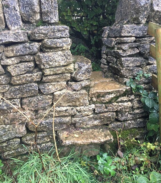
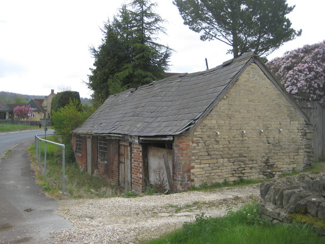
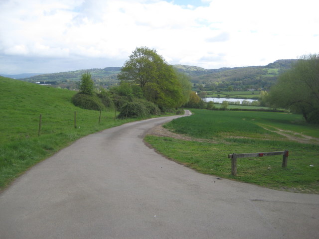
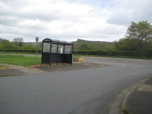
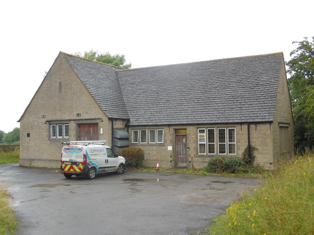
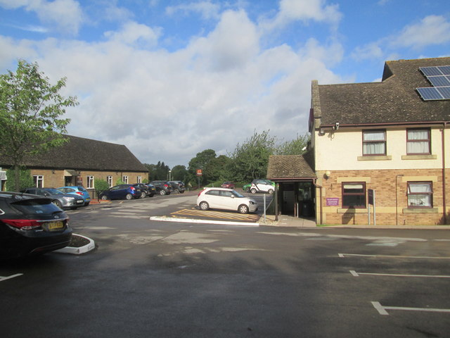
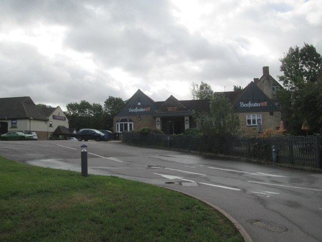
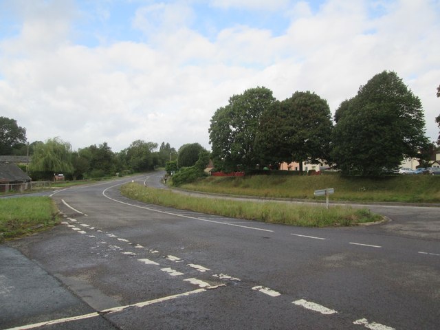
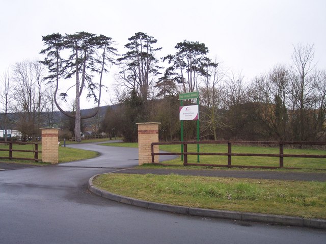
Cooper's Hill Images
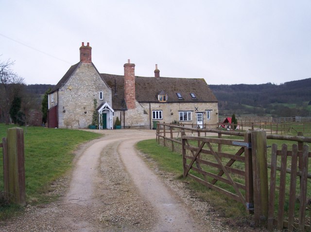
Images are sourced within 2km of 51.832448/-2.1615295 or Grid Reference SO8814. Thanks to Geograph Open Source API. All images are credited.

Cooper's Hill is located at Grid Ref: SO8814 (Lat: 51.832448, Lng: -2.1615295)
Administrative County: Gloucestershire
District: Tewkesbury
Police Authority: Gloucestershire
What 3 Words
///remission.arriving.swelling. Near Shurdington, Gloucestershire
Nearby Locations
Related Wikis

Gloucestershire
Gloucestershire ( GLOST-ər-shər, -sheer; abbreviated Glos.) is a ceremonial county in South West England. It is bordered by Herefordshire to the north...

Cooper's Hill Cheese-Rolling and Wake
The Cooper's Hill Cheese-Rolling and Wake is an annual event held on the Spring Bank Holiday at Cooper's Hill, near Gloucester in England. Participants...
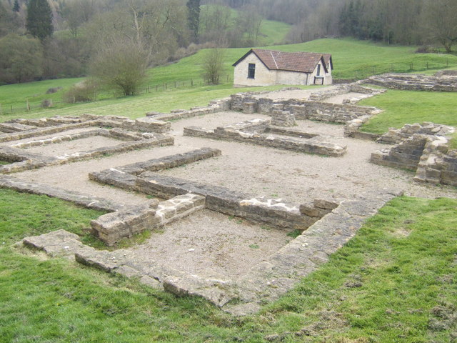
Great Witcombe Roman Villa
Great Witcombe Roman Villa was a villa built during the Roman occupation of Britain. It is located on a hillside at Great Witcombe, near Gloucester in...
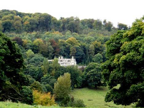
Prinknash Abbey
Prinknash Abbey (pronounced locally variously as "Prinidge/Prinnish") (IPA: ) is a Roman Catholic monastery in the Vale of Gloucester in the Diocese of...
Nearby Amenities
Located within 500m of 51.832448,-2.1615295Have you been to Cooper's Hill?
Leave your review of Cooper's Hill below (or comments, questions and feedback).