Cooper's End
Settlement in Essex Uttlesford
England
Cooper's End
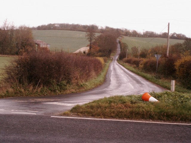
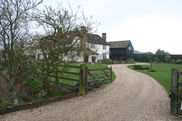
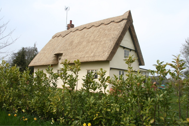
Cooper's End is a small village located in the county of Essex, England. It is situated in the Uttlesford district, approximately 25 miles northeast of London. The village is surrounded by picturesque countryside and offers a peaceful and idyllic setting for its residents.
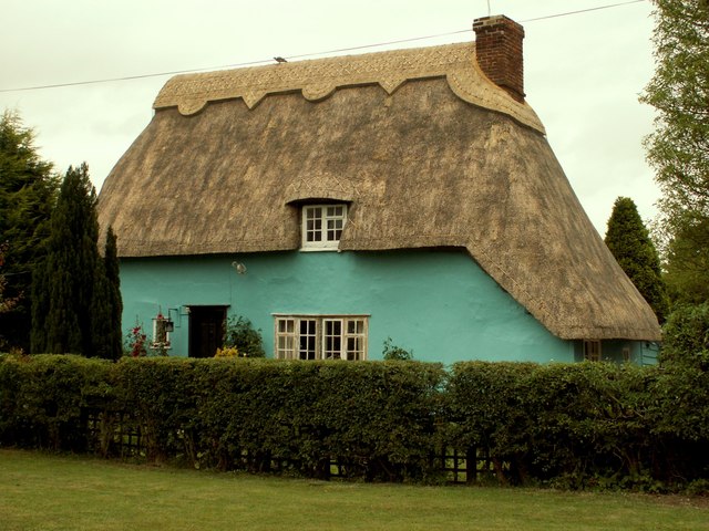
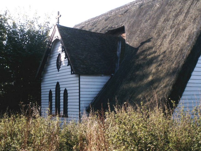
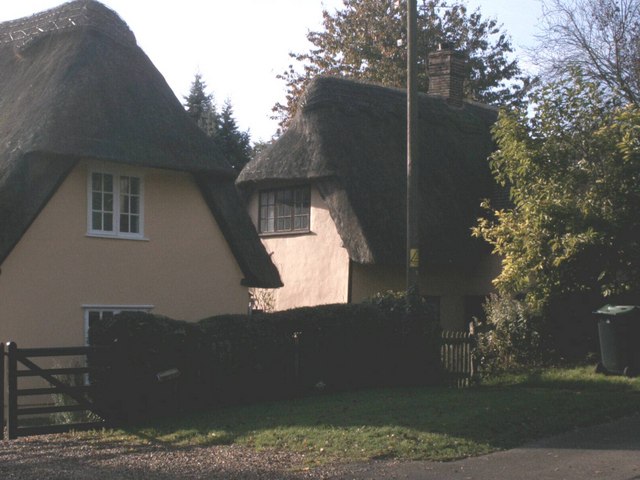
The origins of Cooper's End can be traced back to medieval times when it was predominantly an agricultural community. Over the years, the village has retained its rural charm and still features several traditional thatched cottages and historic buildings, adding to its character.
Despite its small size, Cooper's End has a close-knit community that takes pride in its village. There is a village hall that serves as a hub for social events and gatherings, fostering a sense of togetherness among the residents. The village also has a primary school, providing education for the local children.
In terms of amenities, Cooper's End is well-served by nearby towns and villages. The village itself does not have any shops or pubs, but a short drive or bus journey will take residents to neighboring areas where they can find a range of amenities, including shops, supermarkets, and leisure facilities.
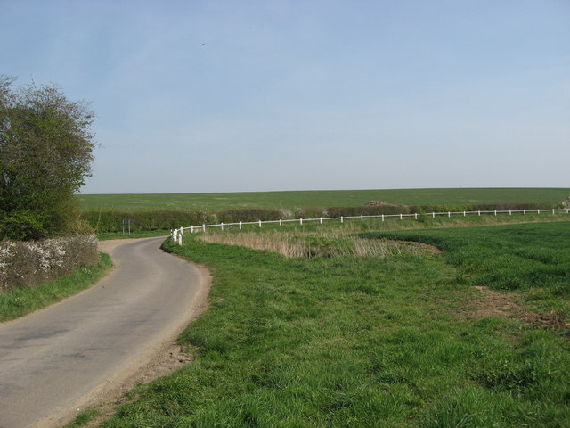
The surrounding countryside offers ample opportunities for outdoor activities, such as hiking, cycling, and horse riding. Cooper's End is also located close to the Stansted Mountfitchet Castle and Toy Museum, a popular tourist attraction showcasing medieval life and housing an extensive collection of toys.
Overall, Cooper's End is a charming village that offers a tranquil and friendly environment for its residents, while still being conveniently located near larger towns for additional amenities and entertainment options.
If you have any feedback on the listing, please let us know in the comments section below.
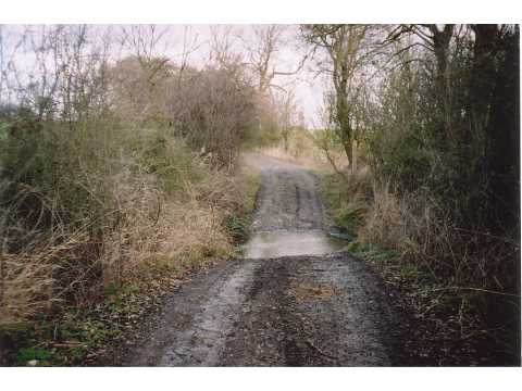
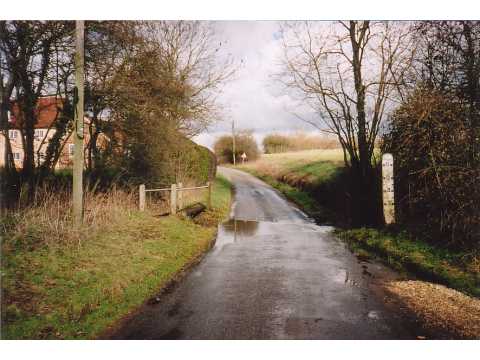
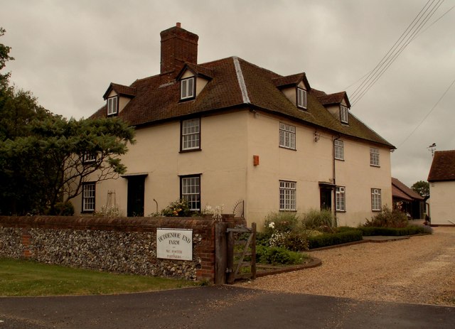
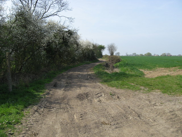
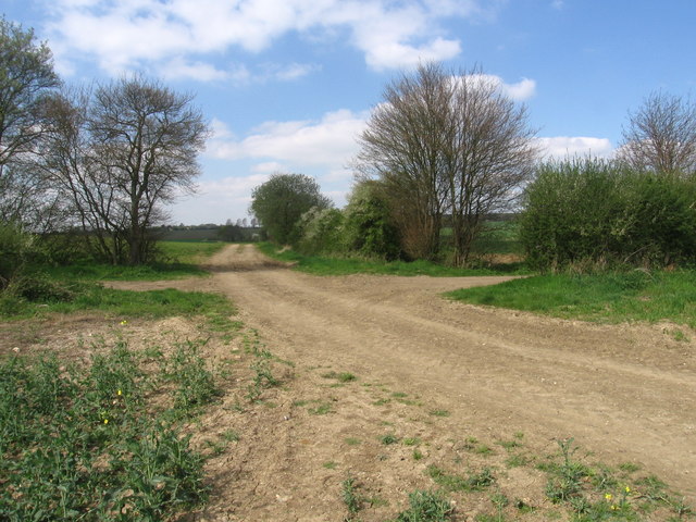
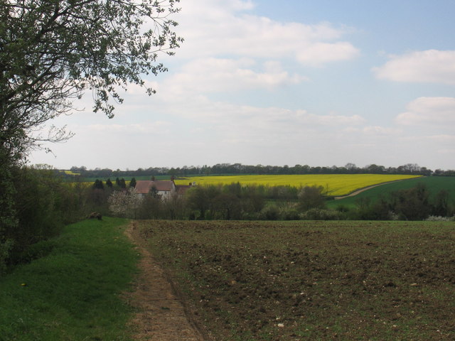
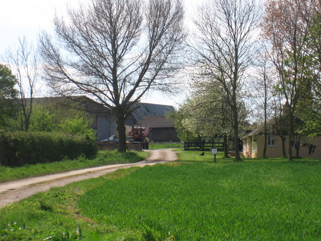
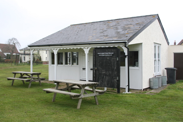
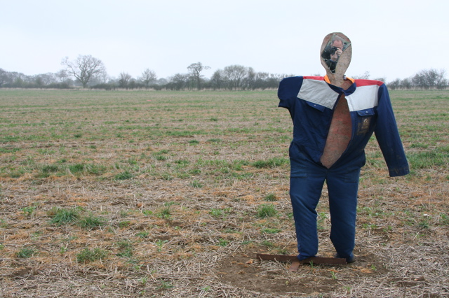
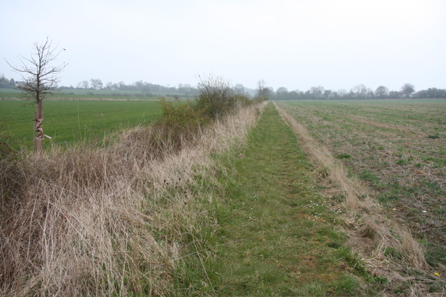
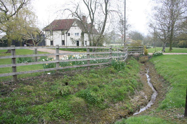
Cooper's End Images
Images are sourced within 2km of 52.003214/0.13321689 or Grid Reference TL4636. Thanks to Geograph Open Source API. All images are credited.
Cooper's End is located at Grid Ref: TL4636 (Lat: 52.003214, Lng: 0.13321689)
Administrative County: Essex
District: Uttlesford
Police Authority: Essex
What 3 Words
///empty.ownership.succeed. Near Saffron Walden, Essex
Nearby Locations
Related Wikis

Duddenhoe End
Duddenhoe End is a small village in the civil parish of Elmdon & Wenden Lofts, in northwest Essex, England, and situated approximately halfway between...

Wenden Lofts
Wenden Lofts is a civil parish in the Uttlesford district, in the county of Essex, England. In 2001 it had a population of 72. It shares a parish council...

Langley, Essex
For the historic house in Essex called Langley's, see Great Waltham. Langley is a village and civil parish near Clavering in the English county of Essex...

Arkesden
Arkesden is a village and civil parish in the Uttlesford district of Essex, England. The village is 4.3 miles (7 km) south-west from Saffron Walden, approximately...
Nearby Amenities
Located within 500m of 52.003214,0.13321689Have you been to Cooper's End?
Leave your review of Cooper's End below (or comments, questions and feedback).