Bridge Green

Settlement in Essex Uttlesford

England

Bridge Green

Ruined church in grounds of Lofts Hall
Ruined church in grounds of Lofts Hall Credit: mym

Bridge Green is a small village located in the county of Essex, England. Situated on the outskirts of the town of Chelmsford, Bridge Green is known for its picturesque surroundings and charming rural atmosphere. The village is nestled in the heart of the Essex countryside, surrounded by lush green fields and rolling hills.

One of the defining features of Bridge Green is its historic bridge, which spans over the River Chelmer. This bridge, after which the village is named, has been standing for centuries and adds to the village's character and charm. The river itself is a popular spot for fishing and boating enthusiasts, attracting visitors from both the local community and neighboring areas.

The village is primarily residential, with a small number of houses and cottages dotted along its quaint streets. The community is close-knit and friendly, with a strong sense of community spirit. Residents often gather for various events and activities, including the annual village fete, which showcases local talent and crafts.

While Bridge Green offers a peaceful countryside setting, it is conveniently located near the town of Chelmsford, which provides a range of amenities and services. Residents can easily access shops, supermarkets, schools, and healthcare facilities within a short drive.

Overall, Bridge Green provides a desirable living environment for those seeking a tranquil village lifestyle while still being within easy reach of urban conveniences. Its natural beauty, historical bridge, and sense of community make it an attractive place to call home.

If you have any feedback on the listing, please let us know in the comments section below.
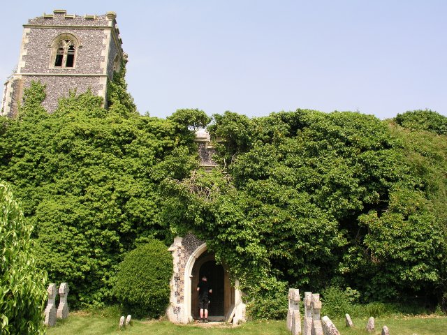
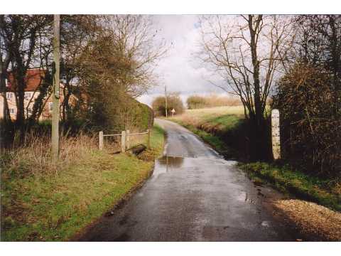
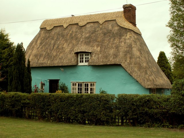
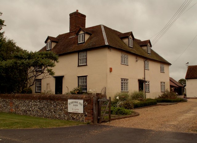
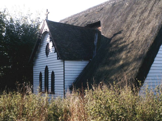
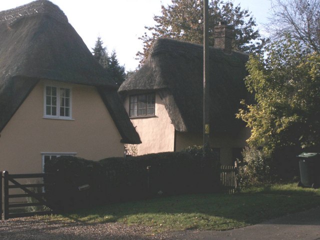
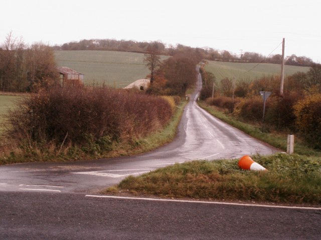
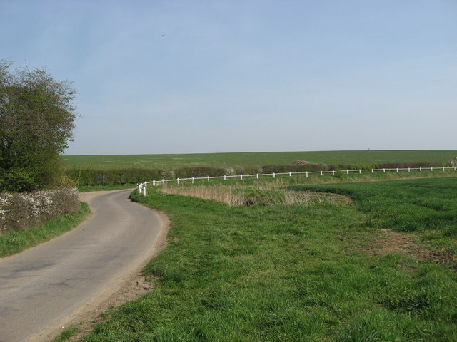
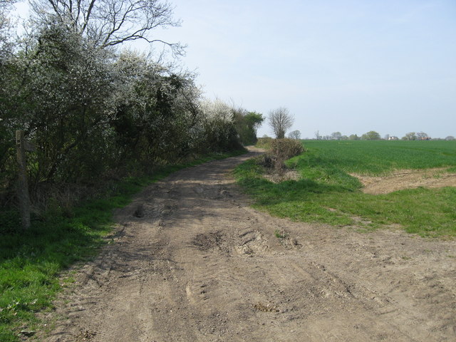
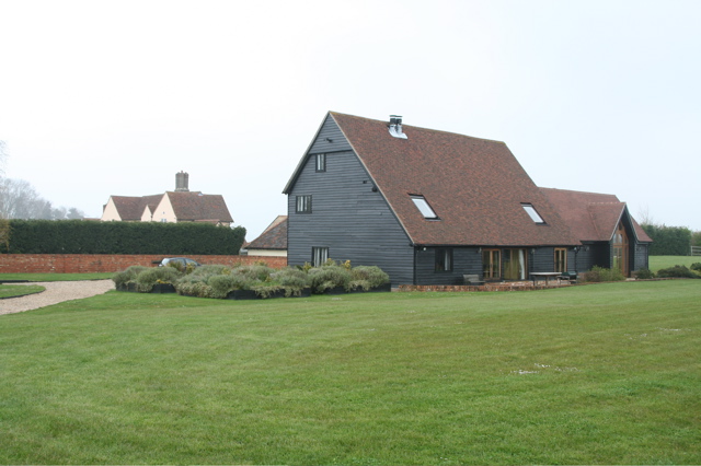
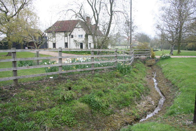
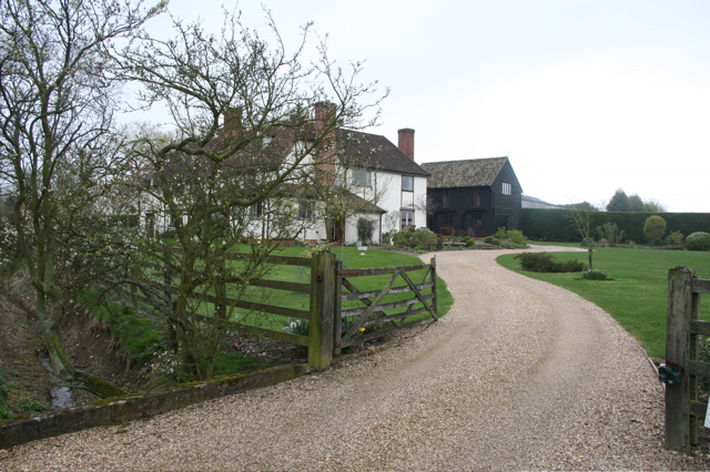
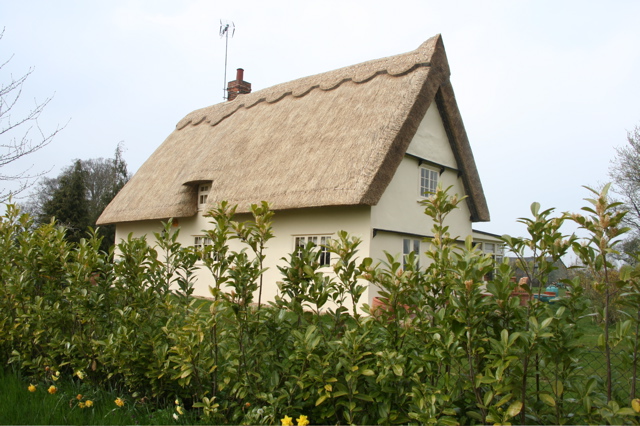
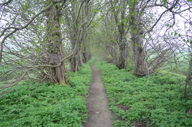
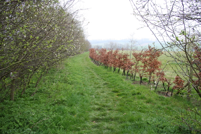
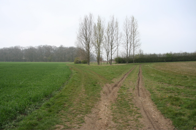
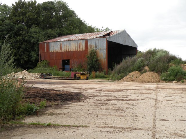
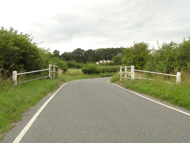
Bridge Green Images

Images are sourced within 2km of 52.011618/0.132496 or Grid Reference TL4636. Thanks to Geograph Open Source API. All images are credited.

Ruined church in grounds of Lofts Hall
Ford near Arkesden On the road between Arkesden and Duddenhoe End, only occasionally wet.
Ford near Arkesden
On the road between Arkesden and Duddenhoe End, only occasionally wet.
Thatched cottage at Duddenhoe End, Essex
Duddenhoe End Farm, Duddenhoe End, Essex
Thatched church at Upper Pond Street Officially the parish church of Duddenhoe End but located at Upper Pond Street this church is of timber construction with a thatched roof. It's known locally as 'the hamlet church'.
Thatched church at Upper Pond Street
Officially the parish church of Duddenhoe End but located at Upper Pond Street this church is of timber construction with a thatched roof. It's known locally as 'the hamlet church'.
Thatched cottages at Lower Pond Street Thatched cottages at Lower Pond Street
Thatched cottages at Lower Pond Street
The road to Littlebury Green Road to Littlebury Green from the B1039
The road to Littlebury Green
Road to Littlebury Green from the B1039
Ostler's Green Country lane at Ostler's Green
Ostler's Green
Country lane at Ostler's Green
Farm track and public footpath Farm track and public footpath at Cosh Farm, Coopers End.
Farm track and public footpath
Farm track and public footpath at Cosh Farm, Coopers End.
New Barns and Chiswick Hall New barn-style development to the north of Chiswick Hall (which can be seen in the background).
New Barns and Chiswick Hall
New barn-style development to the north of Chiswick Hall (which can be seen in the background).
House and Brook at Coopers End
House at Cooper's End
Cottage at Duddenhoe End
A path through the woods near Pond Street
Young beech hedge Dividing a track from the grounds of a house near Pond Street
Young beech hedge
Dividing a track from the grounds of a house near Pond Street
The track divides Left to Chrishall, right to Lofts Hall. But which is the path less travelled?
The track divides
Left to Chrishall, right to Lofts Hall. But which is the path less travelled?
An old farm building, southwest of Littlebury Green
The southern end of Essex Hill This is the road that links the B1039 with Elmdon village.
The southern end of Essex Hill
This is the road that links the B1039 with Elmdon village.
Show me another place!

Bridge Green is located at Grid Ref: TL4636 (Lat: 52.011618, Lng: 0.132496)

Administrative County: Essex

District: Uttlesford

Police Authority: Essex

What 3 Words

///surnames.different.sharpen. Near Great Chesterford, Essex

Related Wikis

Duddenhoe End

Duddenhoe End is a small village in the civil parish of Elmdon & Wenden Lofts, in northwest Essex, England, and situated approximately halfway between...

Wenden Lofts

Wenden Lofts is a small community in the civil parish of Elmdon, Duddenhoe End & Wenden Lofts in the Uttlesford district, in the county of Essex, England...

Elmdon

See also, Elmdon, West Midlands.Elmdon is a village in the civil parish of Elmdon, Duddenhoe End & Wenden Lofts situated in the Uttlesford district of...

Langley, Essex

For the historic house in Essex called Langley's, see Great Waltham. Langley is a village and civil parish near Clavering in the English county of Essex...

Nearby Amenities

Located within 500m of 52.011618,0.132496
Power: pole
Lat/Long: 52.008103/0.1358163
Power: pole
Lat/Long: 52.0115618/0.1335712
Power: pole
Lat/Long: 52.0086693/0.1359665
Power: pole
Lat/Long: 52.0111342/0.1339333
Power: pole
Lat/Long: 52.0104705/0.134502
Power: pole
Lat/Long: 52.0095889/0.1352315
Bridge Green
Place: hamlet
Lat/Long: 52.0118828/0.1336022
Post Box
Brand: Royal Mail
Brand Wikidata: Q638098
Collection Times: Mo-Fr 16:15; Sa 11:00
Operator: Royal Mail
Operator Wikidata: Q638098
Post Box Design: type_m
Post Box Type: lamp
Ref: CB11 66
Royal Cypher: EIIR
Royal Cypher Wikidata: Q33102113
Source: survey
Lat/Long: 52.009123/0.1285914
The data included in this document is from www.openstreetmap.org. The data is made available under ODbL.

Have you been to Bridge Green?

Leave your review of Bridge Green below (or comments, questions and feedback).