Duddenhoe End

Settlement in Essex Uttlesford

England

Duddenhoe End

Ford near Cooper's End On a Roman Road, now a byway.
Ford near Cooper's End Credit: Andrew Smith

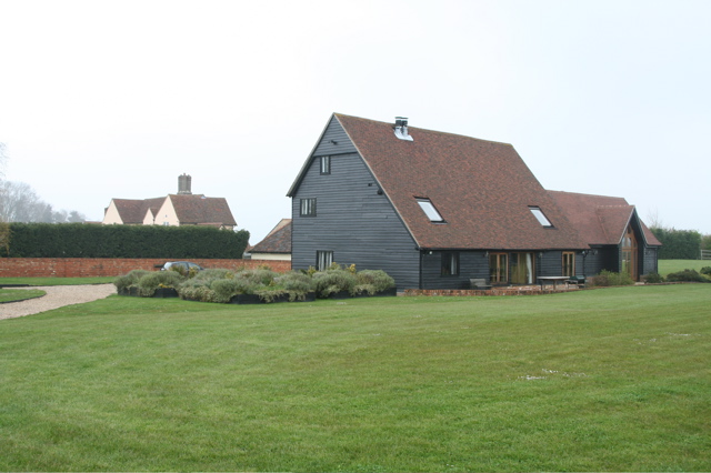
Duddenhoe End is a small village located in the county of Essex, England. Situated in the district of Uttlesford, the village is surrounded by picturesque countryside and offers a peaceful and idyllic setting for its residents.

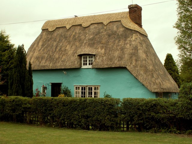
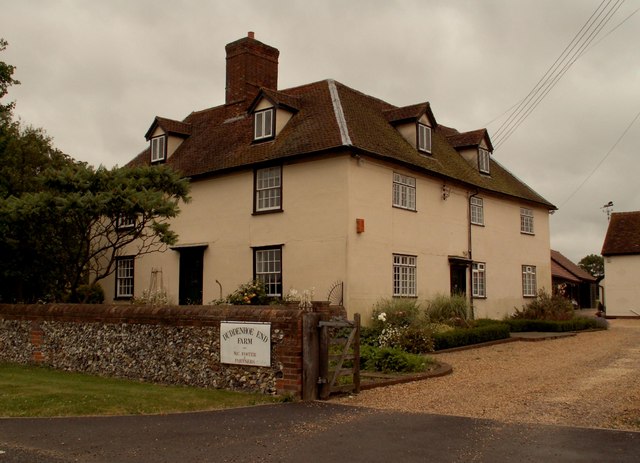
The village has a rich history, with evidence of its existence dating back to the medieval period. It is believed that the name "Duddenhoe End" derives from "Dudda's spur of land," referencing a former landowner. Throughout the years, the village has retained its rural charm and traditional character, with many of its buildings displaying quintessential English architecture.

Duddenhoe End is home to a close-knit community, with a population of approximately 200 residents. The village is known for its sense of community spirit and friendly atmosphere, with regular events and gatherings held to bring the villagers together.

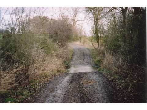
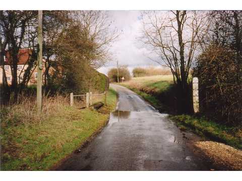
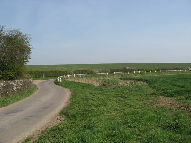
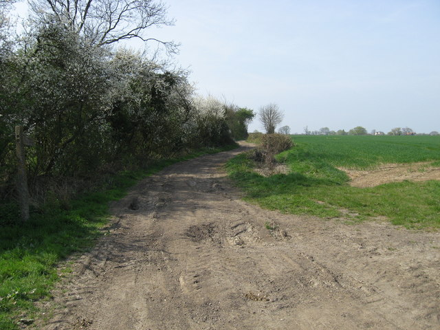
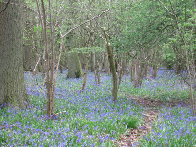
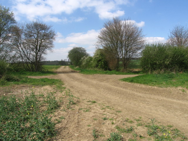
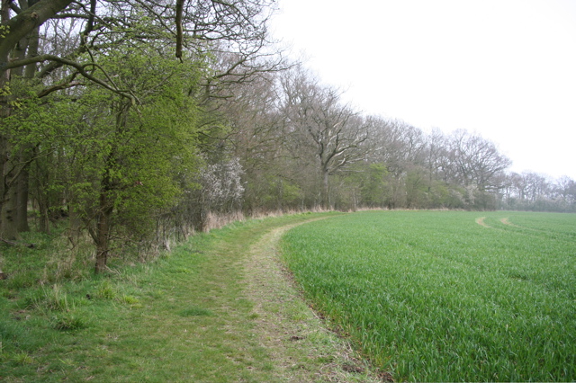
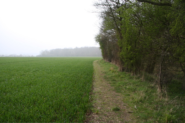
The surrounding countryside offers ample opportunities for outdoor activities, such as walking, cycling, and horse riding. Duddenhoe End is also located near several nature reserves and country parks, providing residents with the chance to explore and enjoy the natural beauty of the Essex landscape.

While Duddenhoe End itself is a small village, it is conveniently located within easy reach of larger towns and cities. The market town of Saffron Walden is just a short drive away, offering a range of amenities including shops, restaurants, and leisure facilities.

In conclusion, Duddenhoe End is a charming and historic village nestled in the Essex countryside. With its strong sense of community and beautiful surroundings, it offers a tranquil and desirable place to live.

If you have any feedback on the listing, please let us know in the comments section below.

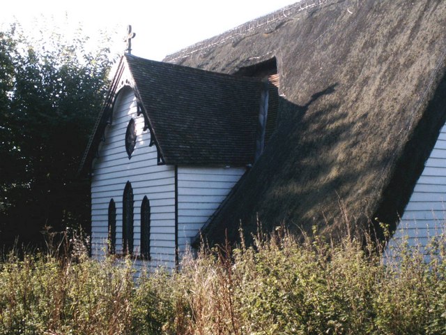
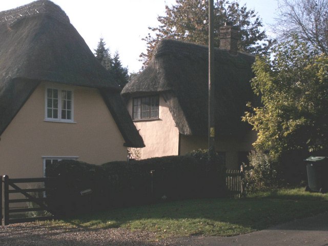
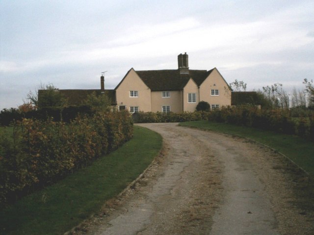
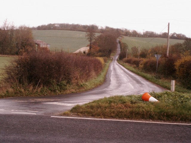
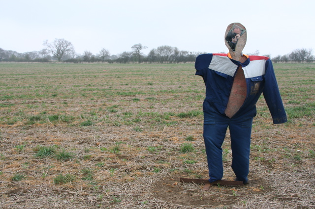
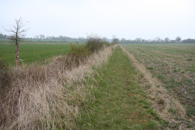
Duddenhoe End Images

Images are sourced within 2km of 52.008592/0.125794 or Grid Reference TL4636. Thanks to Geograph Open Source API. All images are credited.

Ford near Cooper's End On a Roman Road, now a byway.
Ford near Cooper's End
On a Roman Road, now a byway.
Ford near Arkesden On the road between Arkesden and Duddenhoe End, only occasionally wet.
Ford near Arkesden
On the road between Arkesden and Duddenhoe End, only occasionally wet.
Thatched cottage at Duddenhoe End, Essex
Duddenhoe End Farm, Duddenhoe End, Essex
Thatched church at Upper Pond Street Officially the parish church of Duddenhoe End but located at Upper Pond Street this church is of timber construction with a thatched roof. It's known locally as 'the hamlet church'.
Thatched church at Upper Pond Street
Officially the parish church of Duddenhoe End but located at Upper Pond Street this church is of timber construction with a thatched roof. It's known locally as 'the hamlet church'.
Thatched cottages at Lower Pond Street Thatched cottages at Lower Pond Street
Thatched cottages at Lower Pond Street
Chiswick Hall Believed to be the oldest building in the area.
Chiswick Hall
Believed to be the oldest building in the area.
The road to Littlebury Green Road to Littlebury Green from the B1039
The road to Littlebury Green
Road to Littlebury Green from the B1039
Ostler's Green Country lane at Ostler's Green
Ostler's Green
Country lane at Ostler's Green
Farm track and public footpath Farm track and public footpath at Cosh Farm, Coopers End.
Farm track and public footpath
Farm track and public footpath at Cosh Farm, Coopers End.
Bluebells in High Wood
Footpath junction on the Harcamlow Way
New Barns and Chiswick Hall New barn-style development to the north of Chiswick Hall (which can be seen in the background).
New Barns and Chiswick Hall
New barn-style development to the north of Chiswick Hall (which can be seen in the background).
Track between field and wood The field is growing wheat and the wood is filling with bluebells.
Track between field and wood
The field is growing wheat and the wood is filling with bluebells.
Track between field and wood Wheat in the field and bluebells in the wood.
Track between field and wood
Wheat in the field and bluebells in the wood.
Cricket Pavilion With digital score board !
Cricket Pavilion
With digital score board !
Scarecrow near the Harcamlow Way From the scarecrow's broken mirror face the photographer looks back at you.
Scarecrow near the Harcamlow Way
From the scarecrow's broken mirror face the photographer looks back at you.
The Harcamlow Way
The Harcamlow Way
Show me another place!

Duddenhoe End is located at Grid Ref: TL4636 (Lat: 52.008592, Lng: 0.125794)

Administrative County: Essex

District: Uttlesford

Police Authority: Essex

What 3 Words

///eats.craziest.cricket. Near Great Chesterford, Essex

Related Wikis

Duddenhoe End

Duddenhoe End is a small village in the civil parish of Elmdon & Wenden Lofts, in northwest Essex, England, and situated approximately halfway between...

Wenden Lofts

Wenden Lofts is a small community in the civil parish of Elmdon, Duddenhoe End & Wenden Lofts in the Uttlesford district, in the county of Essex, England...

Langley, Essex

For the historic house in Essex called Langley's, see Great Waltham. Langley is a village and civil parish near Clavering in the English county of Essex...

Chrishall

Chrishall (pronounced Chris hall) is a small village in the English county of Essex. It is located 12 miles (20 km) south of Cambridge and lies equidistant...

Nearby Amenities

Located within 500m of 52.008592,0.125794
Duddenhoe End
Is In: Essex,England,UK
Place: village
Source Name: npe
Wikidata: Q5311660
Lat/Long: 52.0091644/0.124985
Barrier: stile
Lat/Long: 52.0090679/0.1254267
Barrier: stile
Bicycle: no
Foot: yes
Lat/Long: 52.0074765/0.1257972
Post Box
Brand: Royal Mail
Brand Wikidata: Q638098
Collection Times: Mo-Fr 16:15; Sa 11:00
Operator: Royal Mail
Operator Wikidata: Q638098
Post Box Design: type_m
Post Box Type: lamp
Ref: CB11 66
Royal Cypher: EIIR
Royal Cypher Wikidata: Q33102113
Source: survey
Lat/Long: 52.009123/0.1285914
Telephone
Booth: K6
Covered: booth
Listed Status: Grade II
Phone: +44 1763 838314
Lat/Long: 52.0093731/0.1260503
The data included in this document is from www.openstreetmap.org. The data is made available under ODbL.

Have you been to Duddenhoe End?

Leave your review of Duddenhoe End below (or comments, questions and feedback).