Cooper's Corner

Settlement in Sussex Rother

England

Cooper's Corner

Farm Shop, Hurst Green, East Sussex This attractive farm shop is located on the A21 just north of village of Hurst Green.
Farm Shop, Hurst Green, East Sussex Credit: John Winfield

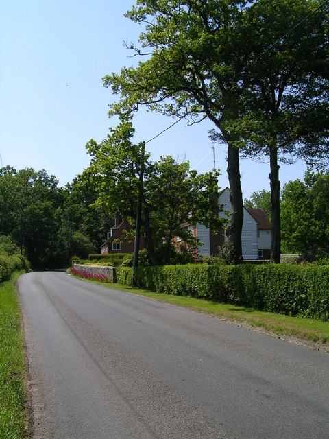
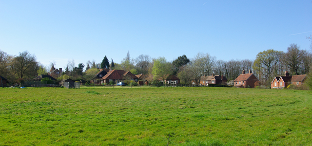
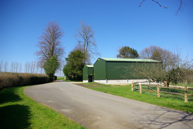
Cooper's Corner is a charming village located in the county of Sussex, England. Situated in the southern part of the county, it is nestled amidst picturesque rolling hills and lush green countryside. The village is approximately 10 miles from the bustling town of Brighton, offering residents a peaceful retreat from the urban hustle and bustle.

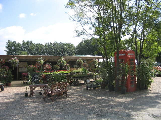
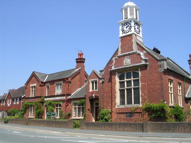
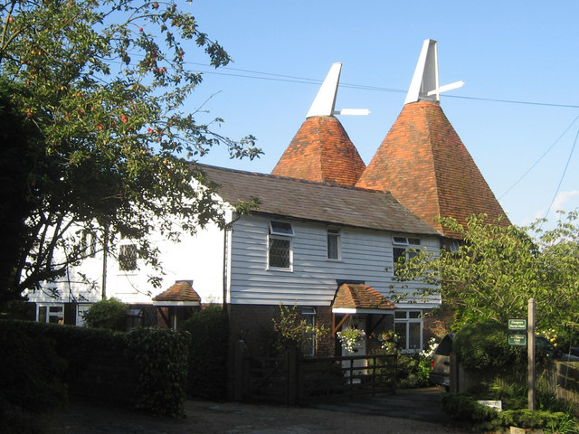
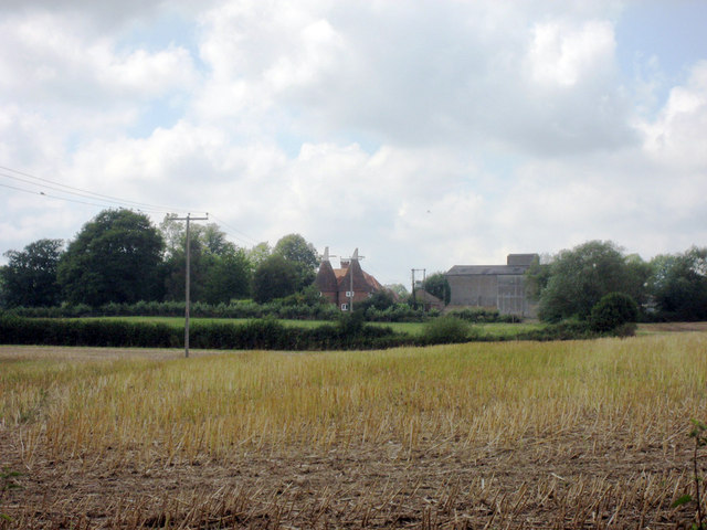
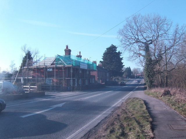
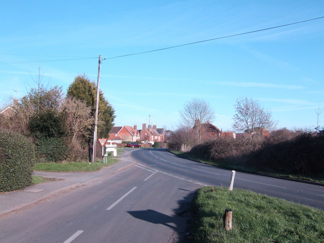
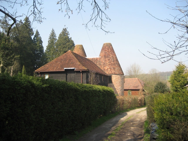
Cooper's Corner is characterized by its quaint and traditional English architecture, with many of its buildings dating back several centuries. The village center is dominated by a beautiful village green, where locals often gather for community events and festivities. Surrounding the green, there are a handful of small independent shops, including a charming bakery, a cozy tea room, and a traditional country pub.

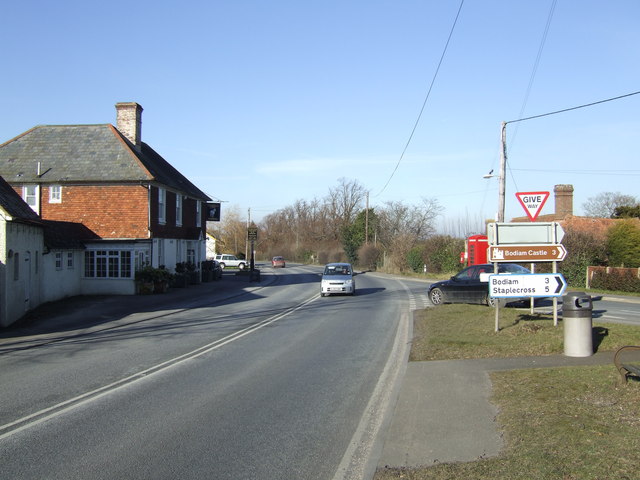
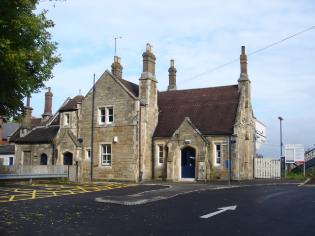
The village is well-connected to the rest of Sussex, with regular bus services providing easy access to neighboring towns and cities. Additionally, the nearby train station offers convenient transportation links to London and other major cities in the region.

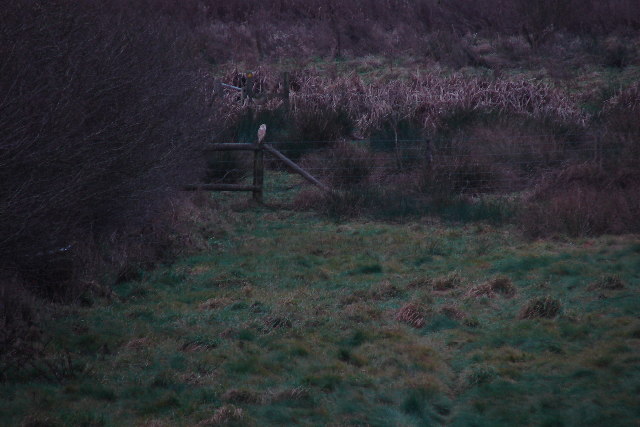
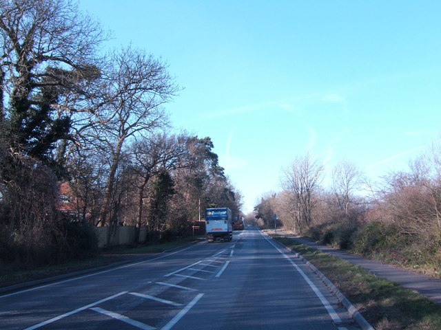
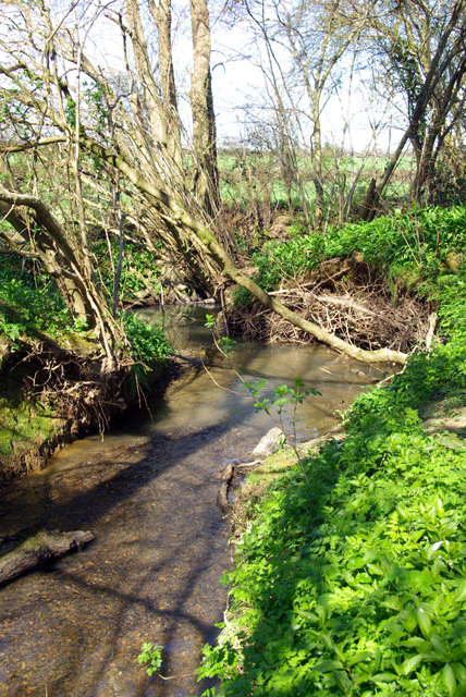
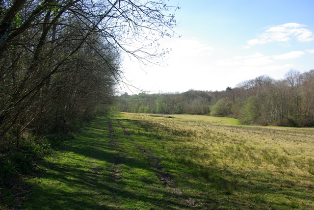
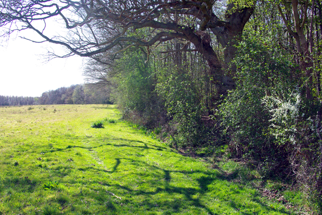
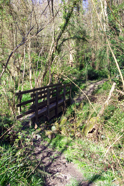
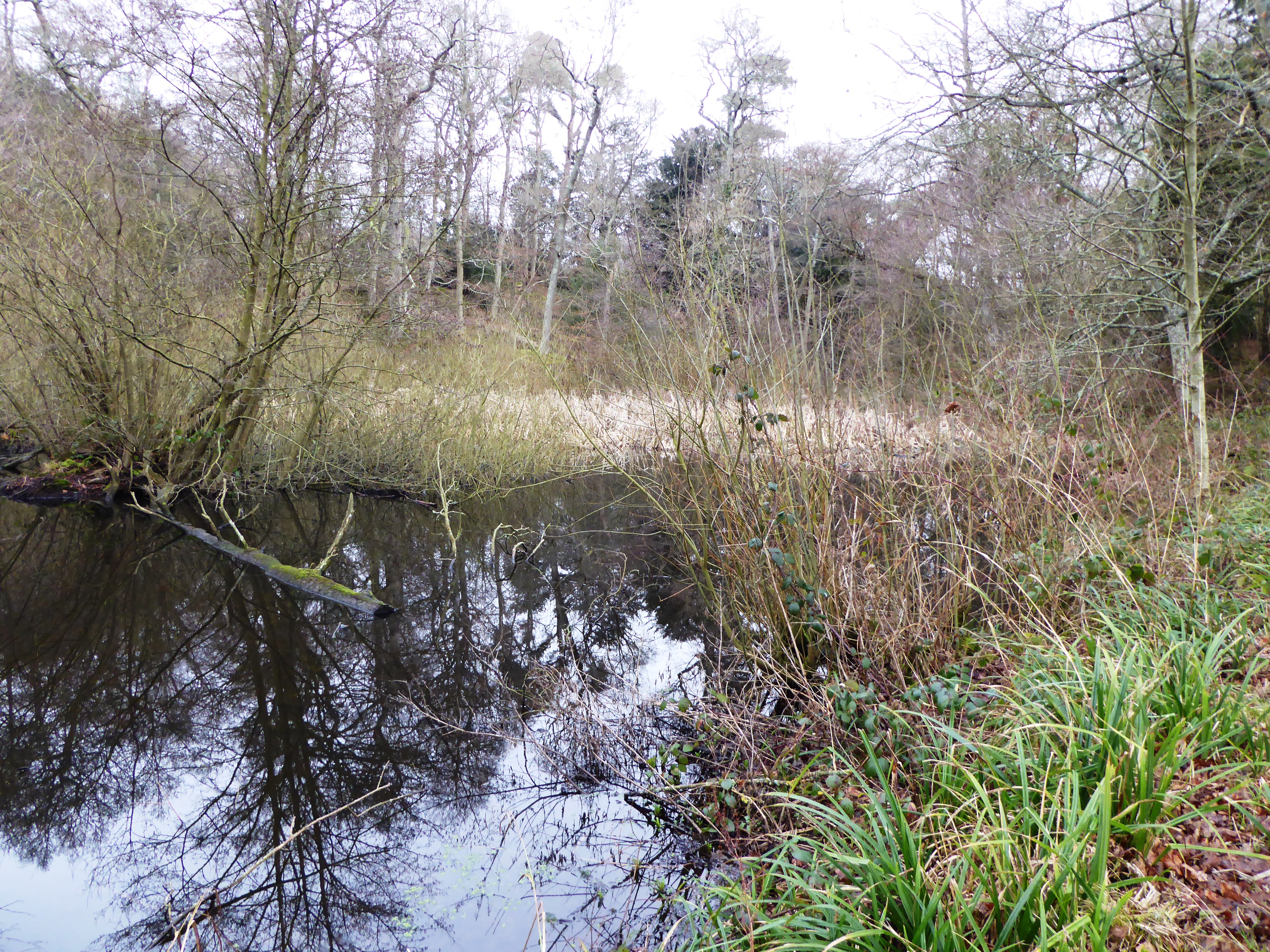
Nature enthusiasts will find plenty to explore in and around Cooper's Corner. The village is surrounded by idyllic countryside, with numerous walking and cycling trails that provide breathtaking views of the rolling hills and meandering streams. Nearby attractions include the picturesque Sussex Downs, where visitors can enjoy hiking, horse riding, and birdwatching.

Overall, Cooper's Corner is a delightful village that offers a tranquil and idyllic lifestyle, making it a popular choice for both residents and visitors seeking a peaceful retreat in the heart of Sussex.

If you have any feedback on the listing, please let us know in the comments section below.

Cooper's Corner Images

Images are sourced within 2km of 51.024913/0.47201893 or Grid Reference TQ7327. Thanks to Geograph Open Source API. All images are credited.

Farm Shop, Hurst Green, East Sussex This attractive farm shop is located on the A21 just north of village of Hurst Green.
Farm Shop, Hurst Green, East Sussex
This attractive farm shop is located on the A21 just north of village of Hurst Green.
Barn owl on footpath near Pond Bay Barn owls have been considered by many superstitious people as bad omens. This owl landed on the stile leading to a very boggy path.
Barn owl on footpath near Pond Bay
Barn owls have been considered by many superstitious people as bad omens. This owl landed on the stile leading to a very boggy path.
Clock Tower, Hurst Green A view of the Clock Tower in Hurst Green, besides the, temporarily quiet, A21 London to Hastings road.
Clock Tower, Hurst Green
A view of the Clock Tower in Hurst Green, besides the, temporarily quiet, A21 London to Hastings road.
Merriments Lane Looking West along Merriments Lane, near Cooper's Corner in East Sussex.
Merriments Lane
Looking West along Merriments Lane, near Cooper's Corner in East Sussex.
Harvested Crop Field off Delmonden Road Delmonden Farm and Oast house to far side of field.
Harvested Crop Field off Delmonden Road
Delmonden Farm and Oast house to far side of field.
A21 at Silver Hill Bodiam road is to the right.
A21 at Silver Hill
Bodiam road is to the right.
Horns Corner Where the A229 takes a sharp turn to the right in the direction of Hawkhurst.
An oak has been planted in the triangle of the junction.
Horns Corner
Where the A229 takes a sharp turn to the right in the direction of Hawkhurst. An oak has been planted in the triangle of the junction.
A21 at Swiftsden The building undergoing renovation appears to have been a pub.
A21 at Swiftsden
The building undergoing renovation appears to have been a pub.
A21 north towards London Opposite Boarzell
A21 north towards London
Opposite Boarzell
A265 at Burgh Hill West of Hurst Green
A265 at Burgh Hill
West of Hurst Green
Swiftsden Farm Oast, Ticehurst Road, Hurst Green, East Sussex Twin round kiln oast house, missing cowls.
Swiftsden Farm Oast, Ticehurst Road, Hurst Green, East Sussex
Twin round kiln oast house, missing cowls.
Deer drinking point? The stream is a tributary of the Kent Ditch. A very well trodden deer path (only just visible in this view) comes down to the stream from the right, but does not cross.
Deer drinking point?
The stream is a tributary of the Kent Ditch. A very well trodden deer path (only just visible in this view) comes down to the stream from the right, but does not cross.
Footpath, north edge, Mill Wood The path is heading for Hurst Green. Broomfield Wood on the right.
Footpath, north edge, Mill Wood
The path is heading for Hurst Green. Broomfield Wood on the right.
Footpath, south edge, Mill Wood The footpath is heading for Silver Hill.
Footpath, south edge, Mill Wood
The footpath is heading for Silver Hill.
Bokes Farm It looks rather more of a hamlet than just a farm.
Bokes Farm
It looks rather more of a hamlet than just a farm.
Barns near Delmonden House The gateway to the left is the entrance to Delmonden House, but is also a public footpath.
Barns near Delmonden House
The gateway to the left is the entrance to Delmonden House, but is also a public footpath.
Footpath bridge near Bokes Farm The footpath crosses a pretty steep-sided gill here. The bridge is very narrow, possibly to dissuade horse-riders. If so, probably a standard design, as here the steepness and awkwardness of the path down to and up from the bridge would put them off anyway.
Footpath bridge near Bokes Farm
The footpath crosses a pretty steep-sided gill here. The bridge is very narrow, possibly to dissuade horse-riders. If so, probably a standard design, as here the steepness and awkwardness of the path down to and up from the bridge would put them off anyway.
Show me another place!

Cooper's Corner is located at Grid Ref: TQ7327 (Lat: 51.024913, Lng: 0.47201893)

Administrative County: East Sussex

District: Rother

Police Authority: Sussex

What 3 Words

///wins.distract.signified. Near Flimwell, East Sussex

Related Wikis

Hurst Green, East Sussex

Hurst Green is a village and civil parish in the Rother district of East Sussex, England, and is located south of the East Sussex / Kent border at Flimwell...

Haremere Hall

Haremere Hall is a Grade I listed Jacobean building near Etchingham, East Sussex. == Location == The hall is approximately 11,000-square-foot (1,000 m2...

Etchingham railway station

Etchingham railway station is on the Hastings line in the south of England and serves the village of Etchingham, East Sussex. It is 47 miles 34 chains...

Hawkhurst Moor

Hawkhurst Moor is a village green and sports field at Hawkhurst in Kent. It was the centre of the original village and lies to the south of the modern...

Collingwood Nature Reserve

Collingwood is a 3-hectare (7.4-acre) nature reserve south of Hawkhurst in Kent. It is managed by the Kent Wildlife Trust.This reserve is woodland which...

St Augustine's Church, Flimwell

St Augustine's Church is the Anglican parish church of Flimwell, a village in the Rother district of East Sussex, England. It was consecrated in 1839 after...

Marlborough House School

Marlborough House School is a co-educational preparatory school situated in 34 acres (14 ha) of countryside in Hawkhurst, Kent. The school currently has...

Beal's Green

Beal's Green is a hamlet north of Hawkhurst in Kent, South East England.

Nearby Amenities

Located within 500m of 51.024913,0.47201893
Coopers Corner
Place: locality
Lat/Long: 51.0250893/0.4698833
Colour: white
Marker: aerial
Utility: gas
Lat/Long: 51.0241624/0.4690703
Colour: yellow
Marker: post
Utility: gas
Lat/Long: 51.0241637/0.4690953
Colour: yellow
Marker: post
Utility: gas
Lat/Long: 51.0241737/0.4693521
Traffic Calming: island
Lat/Long: 51.0246084/0.4695309
Give Way
Direction: forward
Lat/Long: 51.0246026/0.4694128
Shop: pet_grooming
Lat/Long: 51.0258003/0.4752374
Restaurant
Merriments Restaurant
Opening Hours: 09:00-16:30
Outdoor Seating: yes
Wheelchair: yes
Lat/Long: 51.0257589/0.4757251
The data included in this document is from www.openstreetmap.org. The data is made available under ODbL.

Have you been to Cooper's Corner?

Leave your review of Cooper's Corner below (or comments, questions and feedback).