Hurst Green
Civil Parish in Sussex Rother
England
Hurst Green
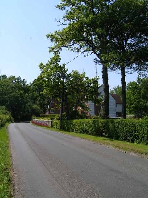
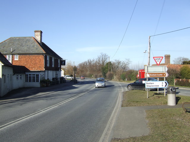
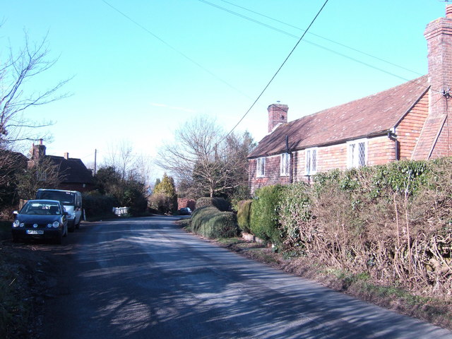
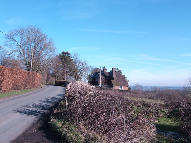
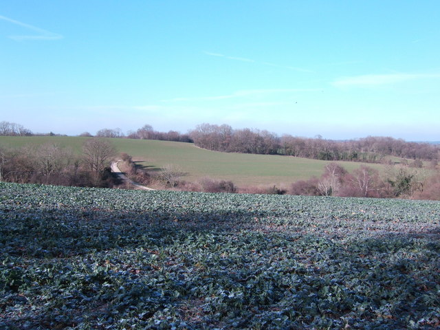
Hurst Green is a civil parish located in the district of Rother in the county of Sussex, England. It is a small village situated on the A21 road, approximately 10 miles north of Hastings. The village is surrounded by beautiful countryside and offers stunning views of the High Weald Area of Outstanding Natural Beauty.
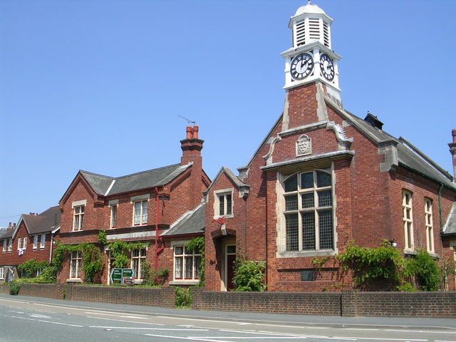
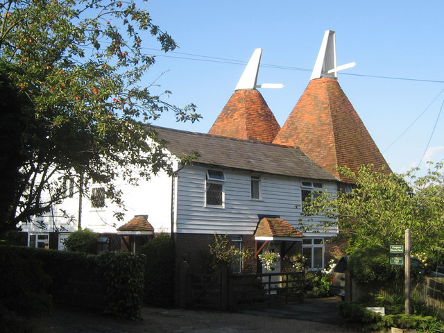
Hurst Green is a historic settlement with evidence of human habitation dating back to the Iron Age. The village is home to several listed buildings, including St. Philip's Church, a Grade II* listed building known for its unique octagonal tower. The church is a prominent feature of the village and attracts visitors interested in its architectural and historical significance.
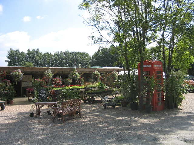
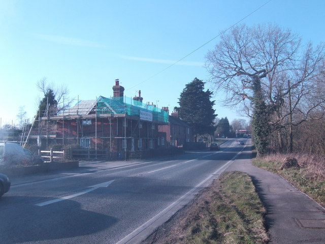
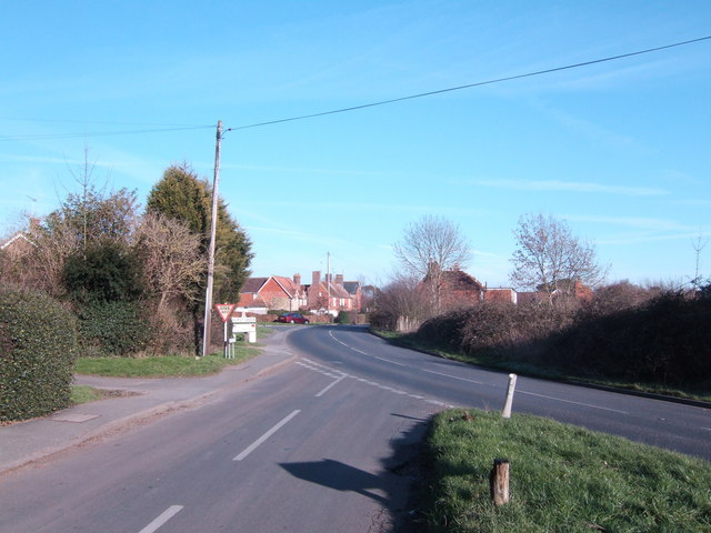
The village itself has a small but vibrant community, with a local primary school, a village hall, and a few shops and amenities. The community is known for its strong sense of community spirit and regular events and activities are organized to bring residents together.
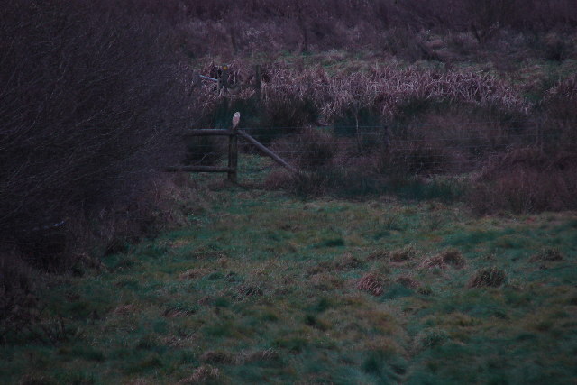
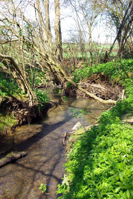
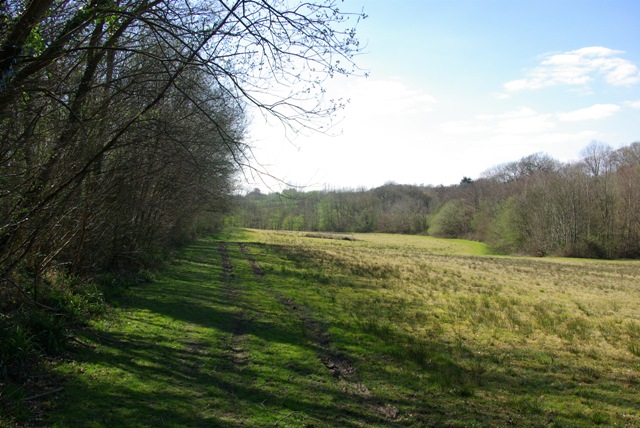
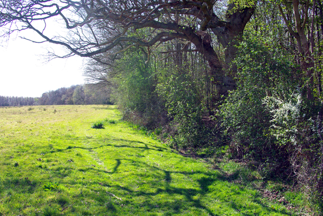
Nature lovers will enjoy exploring the surrounding countryside, which offers plenty of opportunities for walking, hiking, and wildlife spotting. The nearby Bewl Water reservoir is a popular attraction, offering water sports activities and scenic walks along its shores.
Overall, Hurst Green is a picturesque village with a rich history and a close-knit community. Its location in the heart of the High Weald AONB makes it an ideal destination for those seeking a peaceful and idyllic English countryside experience.
If you have any feedback on the listing, please let us know in the comments section below.
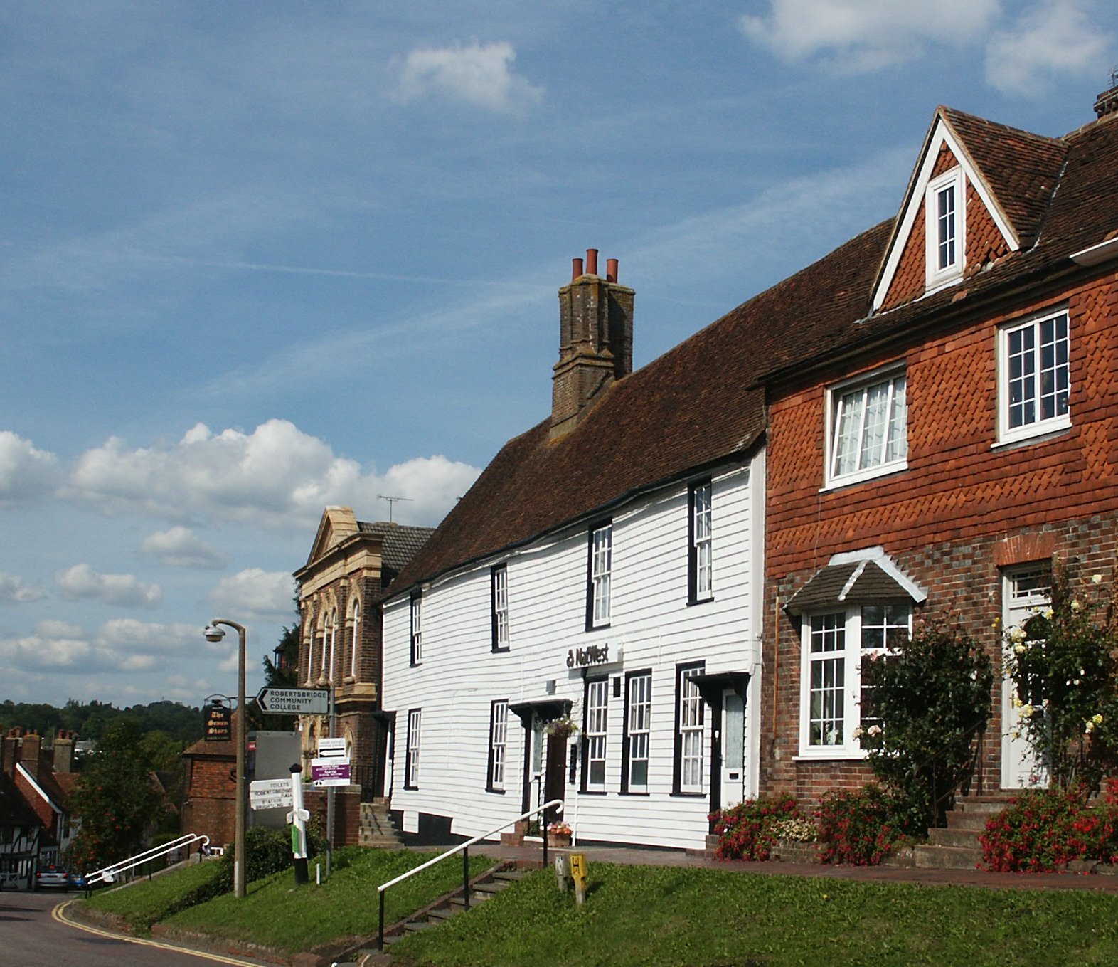
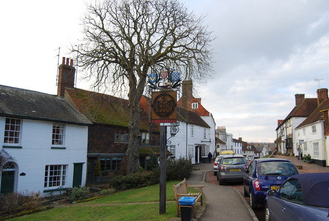
Hurst Green Images
Images are sourced within 2km of 51.019141/0.471416 or Grid Reference TQ7327. Thanks to Geograph Open Source API. All images are credited.


Hurst Green is located at Grid Ref: TQ7327 (Lat: 51.019141, Lng: 0.471416)
Administrative County: East Sussex
District: Rother
Police Authority: Sussex
What 3 Words
///crunching.hedgehog.sculpture. Near Robertsbridge, East Sussex
Nearby Locations
Related Wikis

Hurst Green, East Sussex
Hurst Green is a village and civil parish in the Rother district of East Sussex, England, and is located south of the East Sussex / Kent border at Flimwell...

Haremere Hall
Haremere Hall is a Grade I listed Jacobean building near Etchingham, East Sussex. == Location == The hall is approximately 11,000-square-foot (1,000 m2...
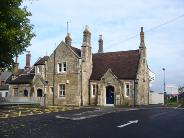
Etchingham railway station
Etchingham railway station is on the Hastings line in the south of England and serves the village of Etchingham, East Sussex. It is 47 miles 34 chains...
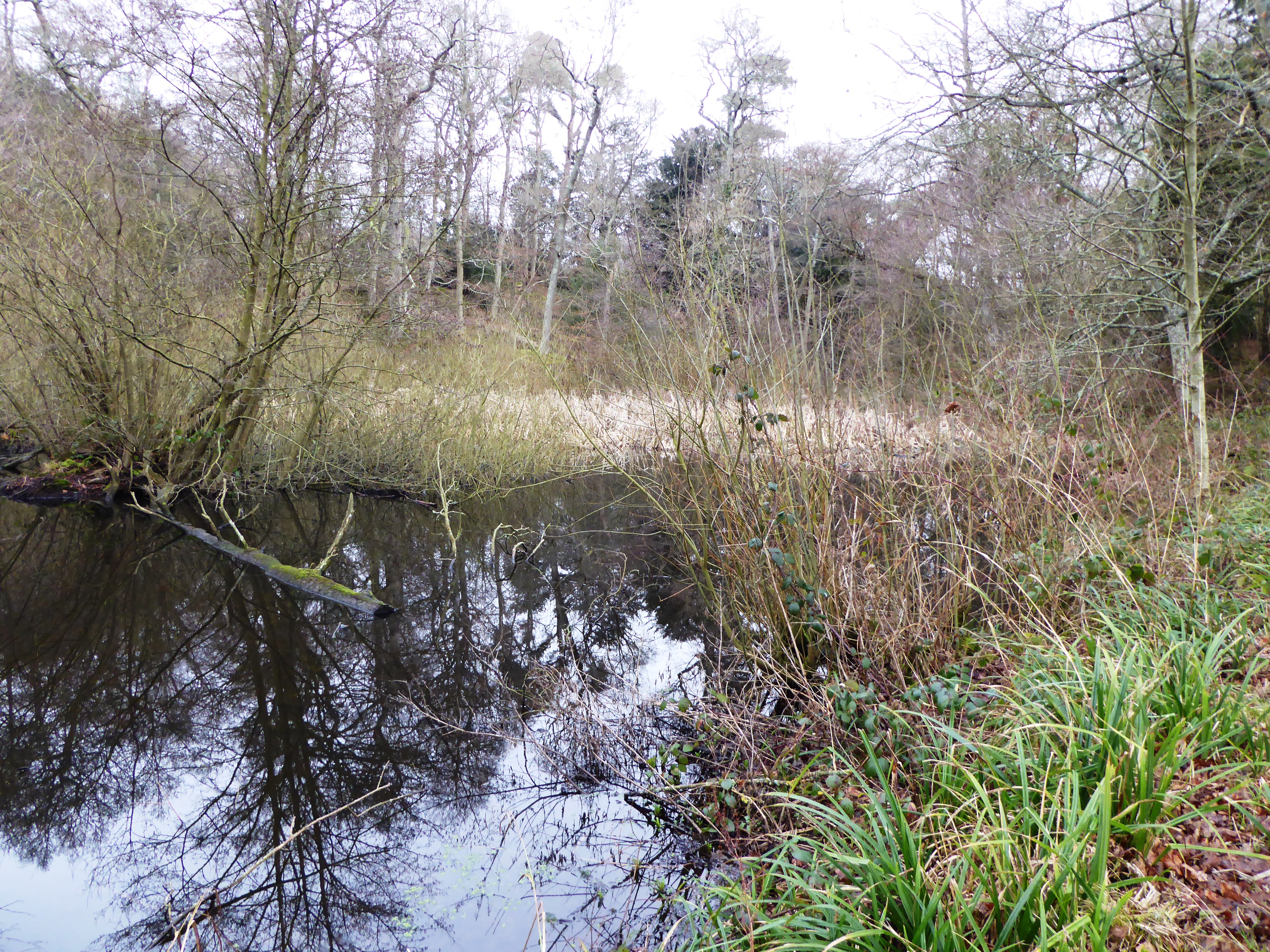
Collingwood Nature Reserve
Collingwood is a 3-hectare (7.4-acre) nature reserve south of Hawkhurst in Kent. It is managed by the Kent Wildlife Trust.This reserve is woodland which...

Hawkhurst Moor
Hawkhurst Moor is a village green and sports field at Hawkhurst in Kent. It was the centre of the original village and lies to the south of the modern...
Robertsbridge
Robertsbridge is a village in the civil parish of Salehurst and Robertsbridge, and the Rother district of East Sussex, England. It is approximately 10...
Salehurst and Robertsbridge
Salehurst and Robertsbridge is a civil parish in the Rother district, in the county of East Sussex, England. The parish lies entirely within an Area of...

Salehurst
Salehurst is a village in the Rother district of East Sussex, England, within the civil parish of Salehurst and Robertsbridge. It lies immediately to the...
Nearby Amenities
Located within 500m of 51.019141,0.471416Have you been to Hurst Green?
Leave your review of Hurst Green below (or comments, questions and feedback).