Hurst Green
Settlement in Sussex Rother
England
Hurst Green
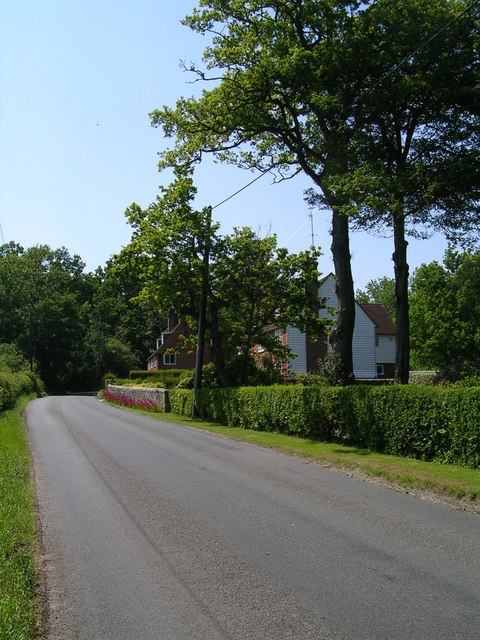
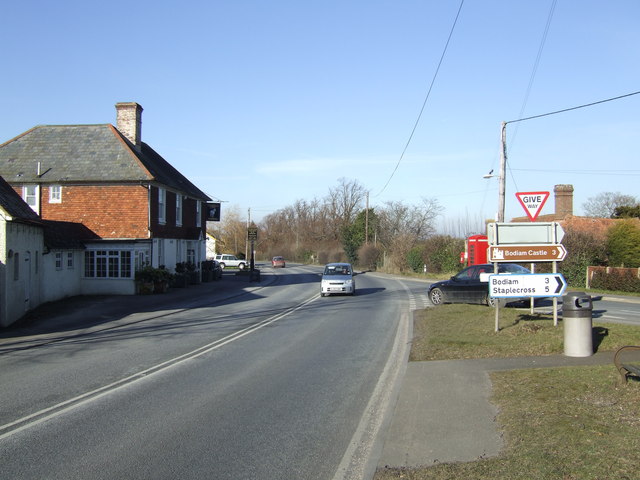
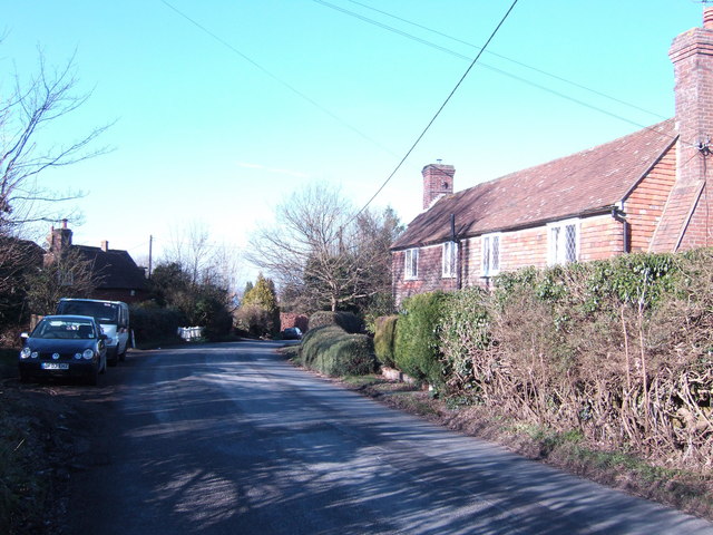
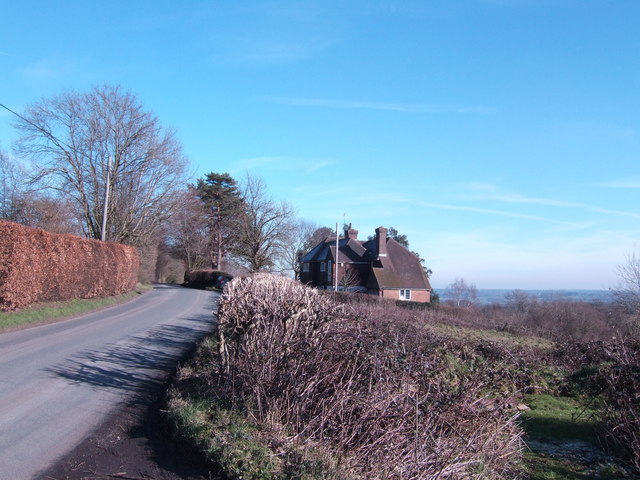
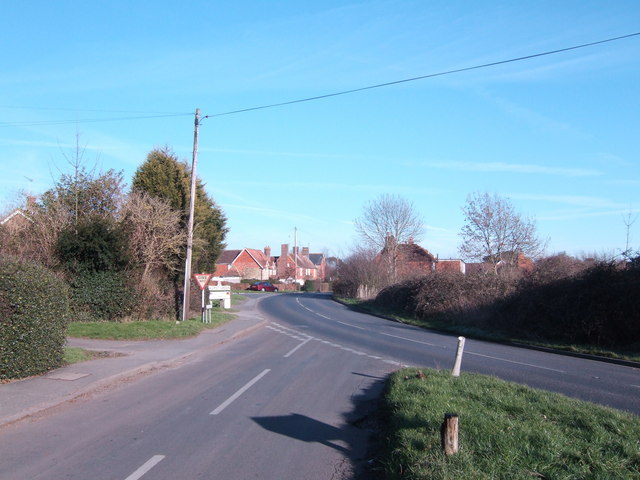
Hurst Green is a picturesque village located in the Wealden district of East Sussex, England. Situated approximately 7 miles east of the historic town of Battle, it is surrounded by stunning countryside and enjoys a peaceful and idyllic setting.
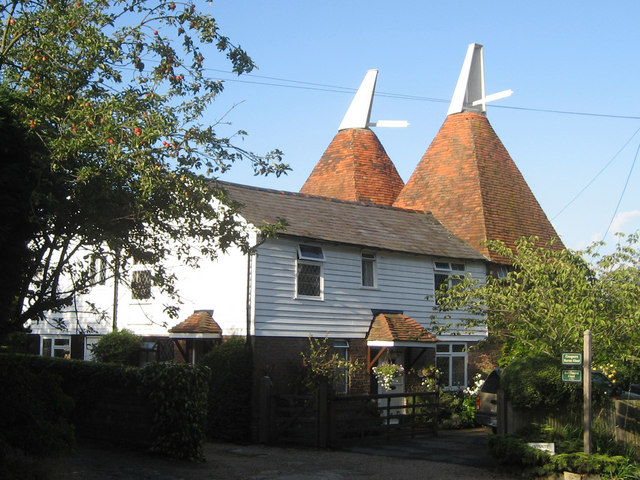
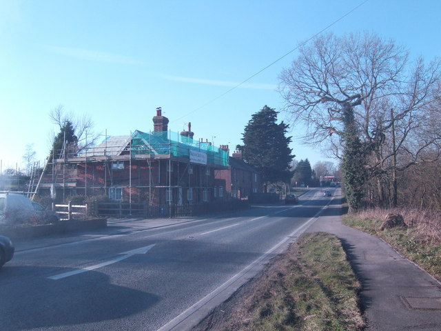
The village is characterized by its charming architecture, with many historic buildings dating back several centuries. The most notable of these is the Grade I listed St. Laurence Church, which stands proudly at the heart of the community. Its Norman origins and beautifully preserved features make it a popular attraction for visitors and locals alike.
Hurst Green is also home to a range of amenities that serve the needs of its residents. These include a local pub, The Woodman, which offers a warm and friendly atmosphere along with a selection of traditional food and beverages. The village also benefits from a primary school, ensuring that families have convenient access to quality education for their children.
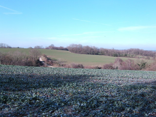
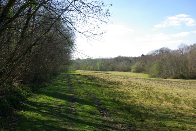
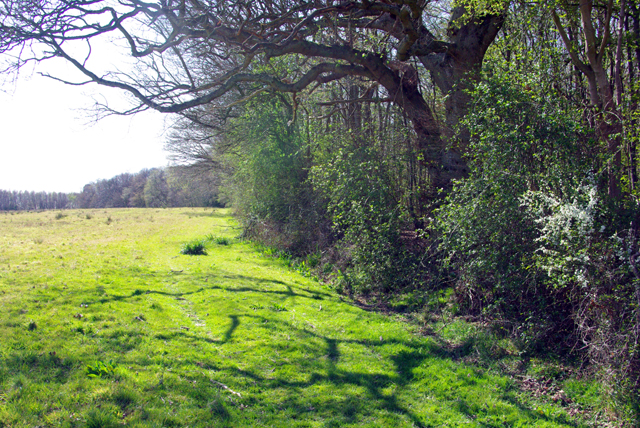
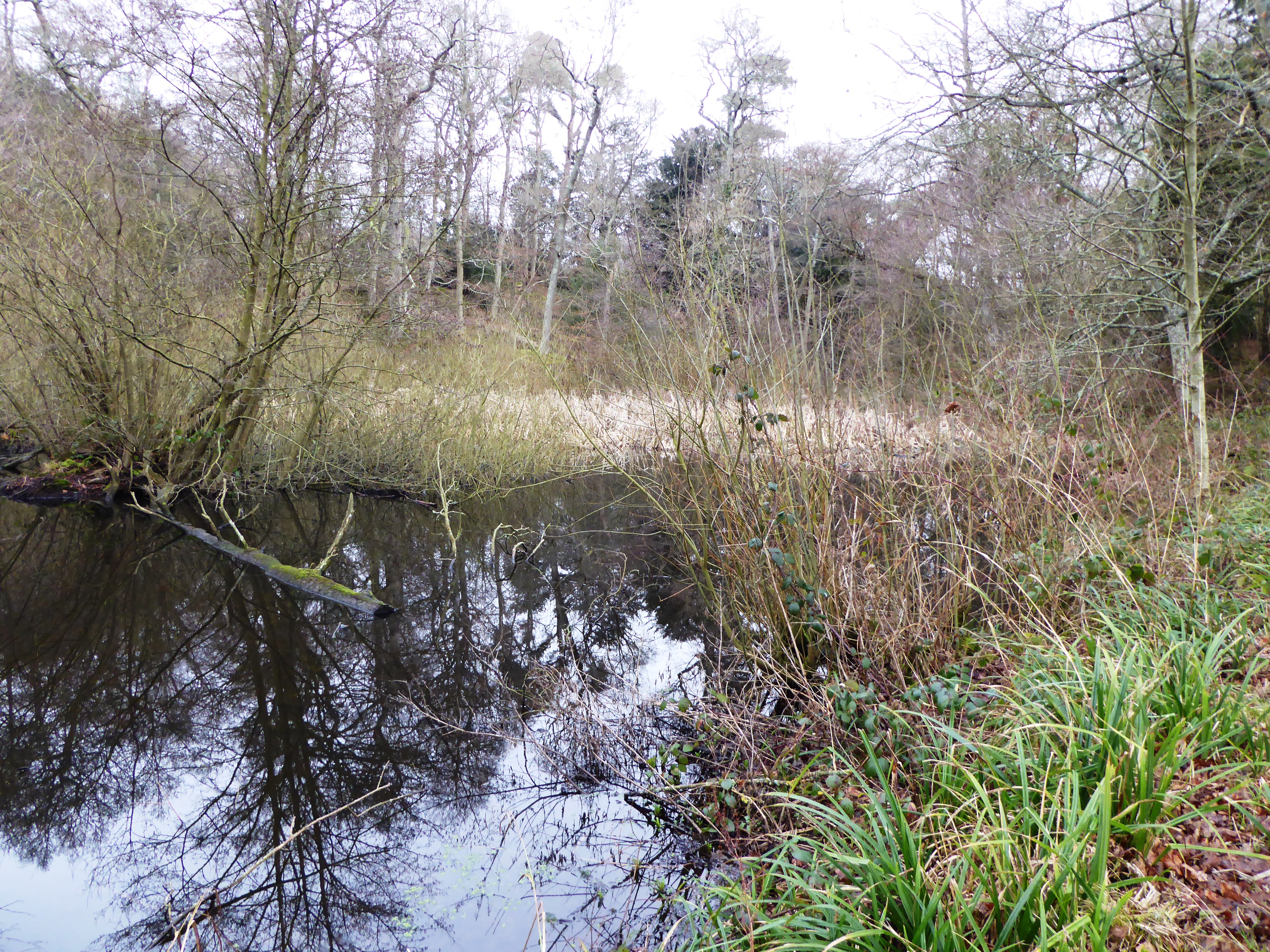
One of the village's most appealing features is its proximity to the High Weald Area of Outstanding Natural Beauty. This designated landscape encompasses rolling hills, ancient woodlands, and picturesque villages, providing ample opportunities for outdoor activities such as hiking, cycling, and wildlife spotting. The area is also renowned for its beautiful gardens and historic sites, making it a haven for nature lovers and history enthusiasts.
In conclusion, Hurst Green is a quintessential English village, offering a peaceful and scenic retreat for both residents and visitors. Its rich history, stunning architecture, and natural surroundings make it a hidden gem within the beautiful Sussex countryside.
If you have any feedback on the listing, please let us know in the comments section below.
Hurst Green Images
Images are sourced within 2km of 51.017826/0.47033004 or Grid Reference TQ7327. Thanks to Geograph Open Source API. All images are credited.


Hurst Green is located at Grid Ref: TQ7327 (Lat: 51.017826, Lng: 0.47033004)
Administrative County: East Sussex
District: Rother
Police Authority: Sussex
What 3 Words
///louder.narrates.glaze. Near Robertsbridge, East Sussex
Nearby Locations
Related Wikis

Hurst Green, East Sussex
Hurst Green is a village and civil parish in the Rother district of East Sussex, England, and is located south of the East Sussex / Kent border at Flimwell...

Haremere Hall
Haremere Hall is a Grade I listed Jacobean building near Etchingham, East Sussex. == Location == The hall is approximately 11,000-square-foot (1,000 m2...
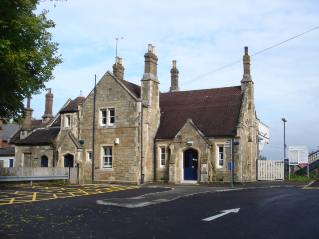
Etchingham railway station
Etchingham railway station is on the Hastings line in the south of England and serves the village of Etchingham, East Sussex. It is 47 miles 34 chains...
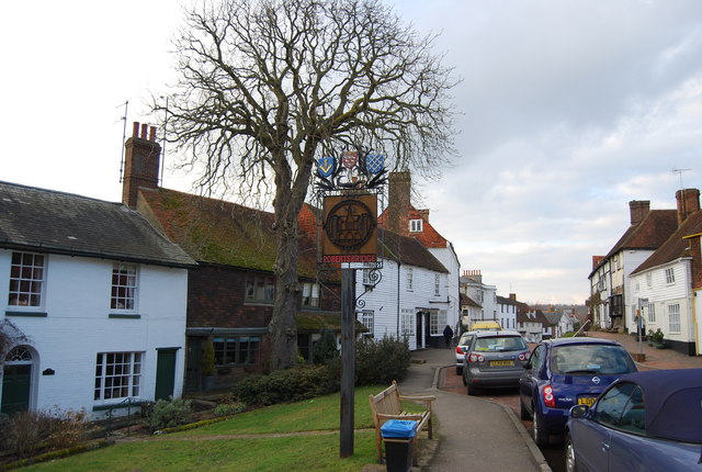
Robertsbridge
Robertsbridge is a village in the civil parish of Salehurst and Robertsbridge, and the Rother district of East Sussex, England. It is approximately 10...
Salehurst and Robertsbridge
Salehurst and Robertsbridge is a civil parish in the Rother district, in the county of East Sussex, England. The parish lies entirely within an Area of...

Salehurst
Salehurst is a village in the Rother district of East Sussex, England, within the civil parish of Salehurst and Robertsbridge. It lies immediately to the...
Collingwood Nature Reserve
Collingwood is a 3-hectare (7.4-acre) nature reserve south of Hawkhurst in Kent. It is managed by the Kent Wildlife Trust.This reserve is woodland which...

Hawkhurst Moor
Hawkhurst Moor is a village green and sports field at Hawkhurst in Kent. It was the centre of the original village and lies to the south of the modern...
Nearby Amenities
Located within 500m of 51.017826,0.47033004Have you been to Hurst Green?
Leave your review of Hurst Green below (or comments, questions and feedback).