Cooper's Hill

Settlement in Bedfordshire

England

Cooper's Hill

Pylons near Ossory Farm
Pylons near Ossory Farm Credit: Mark Anderson

Cooper's Hill is a picturesque village located in the county of Bedfordshire, England. It is situated on the eastern edge of the Chiltern Hills, providing residents and visitors with stunning views of the surrounding countryside. The village is known for its tranquil atmosphere and charming rural character.

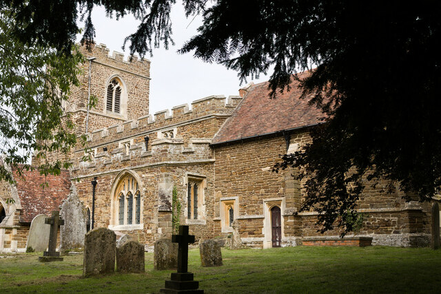
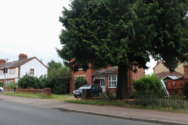
The heart of Cooper's Hill features a village green, which serves as a focal point for community gatherings and events. The green is surrounded by a mix of traditional thatched cottages and more modern houses, adding to the village's unique charm. The nearby St. Mary's Church, a centuries-old place of worship, stands as a testament to the area's rich history.

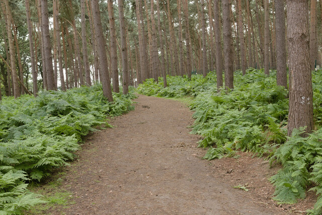
Nature lovers are drawn to Cooper's Hill for its proximity to the beautiful Chiltern Hills, which offer ample opportunities for outdoor activities such as hiking, cycling, and birdwatching. The area is home to diverse flora and fauna, including rare species of plants and animals.

Despite its rural setting, Cooper's Hill enjoys easy access to nearby towns and cities. The village is conveniently located just a short drive away from the bustling market town of Leighton Buzzard, offering a wide range of amenities including shops, restaurants, and leisure facilities.

In summary, Cooper's Hill is a picturesque village nestled in the Chiltern Hills of Bedfordshire. With its stunning natural surroundings, historical landmarks, and close proximity to nearby towns, it offers residents and visitors a peaceful and idyllic place to call home or explore.

If you have any feedback on the listing, please let us know in the comments section below.

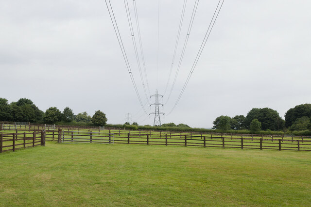
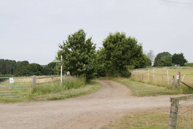
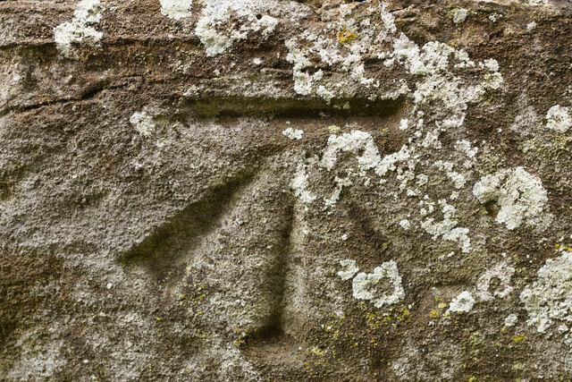
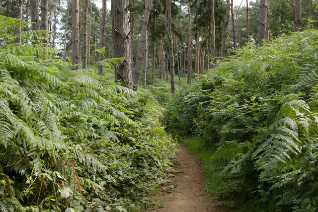
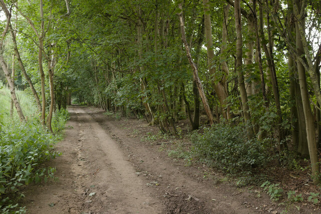
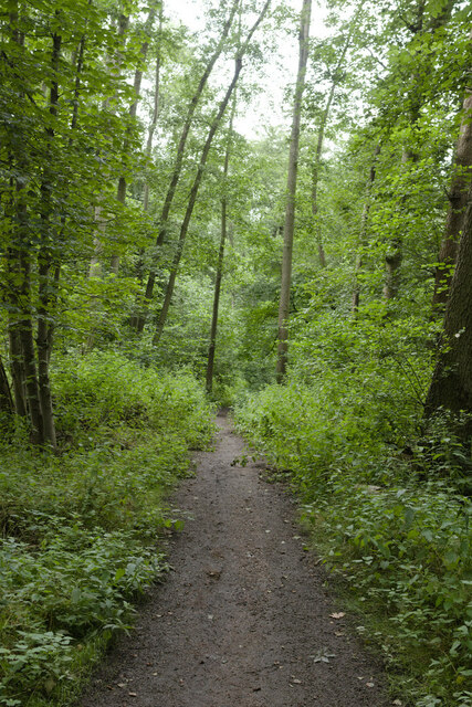
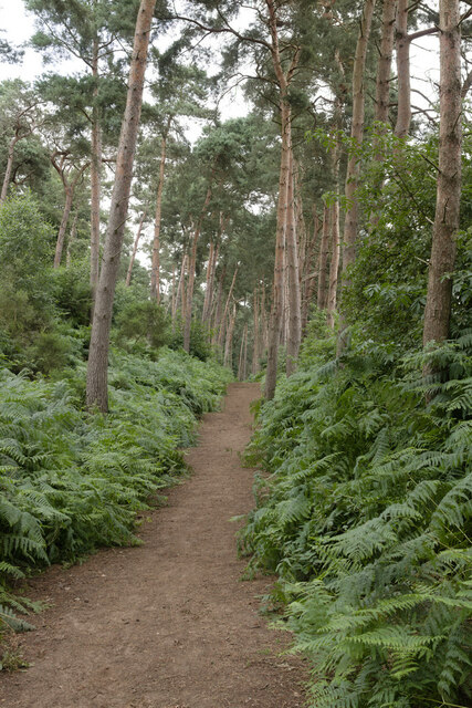
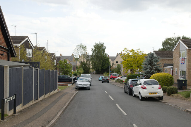
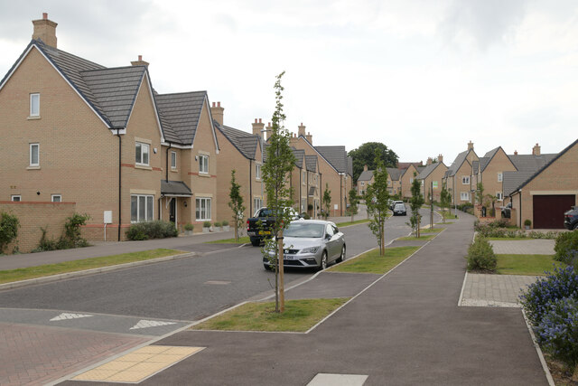
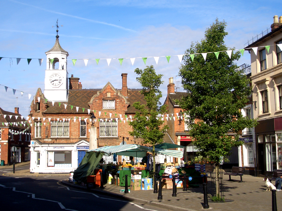
Cooper's Hill Images

Images are sourced within 2km of 52.022052/-0.5148985 or Grid Reference TL0237. Thanks to Geograph Open Source API. All images are credited.

Pylons near Ossory Farm
Footpath junction near Warren Farm
Cut Bench Mark, St Michael's Church, Millbrook Bench Mark Database: <span class="nowrap"><a title="https://www.bench-marks.org.uk/bm152583" rel="nofollow ugc noopener" href="https://www.bench-marks.org.uk/bm152583">Link</a><img style="margin-left:2px;" alt="External link" title="External link - shift click to open in new window" src="https://s1.geograph.org.uk/img/external.png" width="10" height="10"/></span>
Cut Bench Mark, St Michael's Church, Millbrook
Bench Mark Database: LinkExternal link
St Michael's Church, Millbrook There is a cut bench mark on the buttress to the right of the photograph and a closer view can be seen here: <a href="https://www.geograph.org.uk/photo/6922586">TL0138 : Cut Bench Mark, St Michael's Church, Millbrook</a>.
St Michael's Church, Millbrook
There is a cut bench mark on the buttress to the right of the photograph and a closer view can be seen here: TL0138 : Cut Bench Mark, St Michael's Church, Millbrook.
Path near Millbrook The path has been diverted so that it now meets the road at a traffic light controlled crossing.
Path near Millbrook
The path has been diverted so that it now meets the road at a traffic light controlled crossing.
Bridleway in the Woods This bridleway runs between Woburn Road and the edge of the Center Parcs holiday village.
Bridleway in the Woods
This bridleway runs between Woburn Road and the edge of the Center Parcs holiday village.
Bridleway near Center Parcs
Bridleway near Pond Plantation
Bridleway, Moor Plantation
Bridleway to the East of Center Parcs
Bridleway near Fordfield Farm
Houses on Ampthill Road, Flitwick
Center Parcs Center Parcs Woburn Forest
Center Parcs
Center Parcs Woburn Forest
Treehouse Holiday Lodge Treehouse accommodation, Center Parcs Woburn Forest.
Treehouse Holiday Lodge
Treehouse accommodation, Center Parcs Woburn Forest.
Holiday Lodges, Center Parcs
Christmas Bauble Sculpture, Center Parcs
Lammas Way, Ampthill Looking down Lammas Way with the new Poppy Drive development visible at the bottom of the hill.
Lammas Way, Ampthill
Looking down Lammas Way with the new Poppy Drive development visible at the bottom of the hill.
Poppy Drive, Ampthill A new housing development to the South of Ampthill.
Poppy Drive, Ampthill
A new housing development to the South of Ampthill.
Show me another place!

Cooper's Hill is located at Grid Ref: TL0237 (Lat: 52.022052, Lng: -0.5148985)

Unitary Authority: Central Bedfordshire

Police Authority: Bedfordshire

What 3 Words

///deferring.blurred.frown. Near Ampthill, Bedfordshire

Related Wikis

Ampthill railway station

Ampthill railway station was built over a mile from the historic market town of Ampthill in the English county of Bedfordshire by the Midland Railway in...

Cooper's Hill, Bedfordshire

Cooper's Hill is an 18.1-hectare (45-acre) biological Site of Special Scientific Interest in Ampthill in Bedfordshire. It was notified under Section 28...

Redborne Upper School and Community College

Redborne Upper School & Community College is an academy school and sixth-form located in Ampthill, Bedfordshire, England. The school serves the population...

Ampthill Tunnel

Ampthill tunnel is a railway tunnel at Ampthill on the Midland Main Line, being positioned between Bedford and Flitwick. It consists of two separate bores...

Ampthill Town F.C.

Ampthill Town Football Club is a football club based in Ampthill, Bedfordshire, England. The club are currently members of Spartan South Midlands League...

Ampthill Rural District

Ampthill was a rural district in Bedfordshire, England from 1894 to 1974. It entirely surrounded but did not include the urban district of Ampthill. The...

Millbrook Priory

Millbrook Priory was a priory in Bedfordshire, England. It was established in 1097 and disestablished in 1143. The little Priory of Beaulieu at Moddry...

Ampthill

Ampthill () is a town and civil parish in Bedfordshire, England, between Bedford and Luton, with a population estimate of 8,100 (Mid year estimate 2017...

Nearby Amenities

Located within 500m of 52.022052,-0.5148985
Power: tower
Lat/Long: 52.0182197/-0.5175614
Power: tower
Lat/Long: 52.0235609/-0.5168533
Power: tower
Lat/Long: 52.020755/-0.5172825
Post Box
Collection Times: Mo-Fr 16:30; Sa 09:00
Operator: Royal Mail
Post Box Type: lamp
Ref: MK45 273
Royal Cypher: EIIR
Royal Cypher Wikidata: Q33102113
Source: survey
Survey Date: 2016-12-12
Lat/Long: 52.0239056/-0.5205417
Ampthill
Historic Railway: station
Railway: site
Wikidata: Q4748555
Wikipedia: en:Ampthill railway station
Lat/Long: 52.0239346/-0.51148
Communication Mobile Phone: yes
Man Made: mast
Tower Type: communication
Lat/Long: 52.0212045/-0.5078998
Power: pole
Lat/Long: 52.0239472/-0.5116744
Power: pole
Lat/Long: 52.0239097/-0.5116615
Power: pole
Lat/Long: 52.0238494/-0.5116409
Power: pole
Lat/Long: 52.0238122/-0.5116281
Colour: red and white
Marker: aerial
Material: plastic
Utility: gas
Lat/Long: 52.0227076/-0.5202482
Colour: red
Marker: post
Material: plastic
Utility: gas
Lat/Long: 52.022647/-0.5203635
Colour: red
Marker: post
Material: concrete
Utility: gas
Lat/Long: 52.0225795/-0.5205333
Marker: yes
Utility: gas
Lat/Long: 52.0246844/-0.5192016
The data included in this document is from www.openstreetmap.org. The data is made available under ODbL.

Have you been to Cooper's Hill?

Leave your review of Cooper's Hill below (or comments, questions and feedback).