Cooper's Hill

Hill, Mountain in Bedfordshire

England

Cooper's Hill

Pylons near Ossory Farm
Pylons near Ossory Farm Credit: Mark Anderson

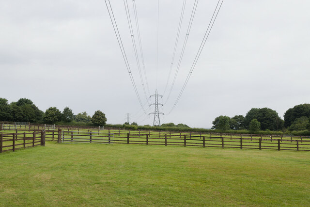
Cooper's Hill is a prominent hill located in Bedfordshire, England. Rising to an elevation of approximately 236 meters (774 feet), it forms part of the Chiltern Hills, a range renowned for its scenic beauty and rich natural heritage. The hill is situated in an area of outstanding natural beauty, attracting visitors and nature enthusiasts alike.

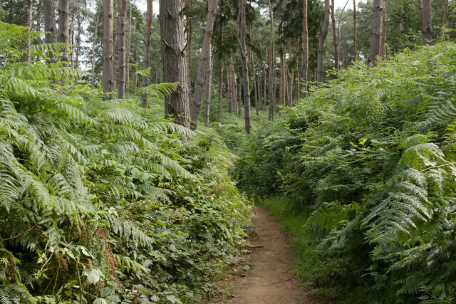
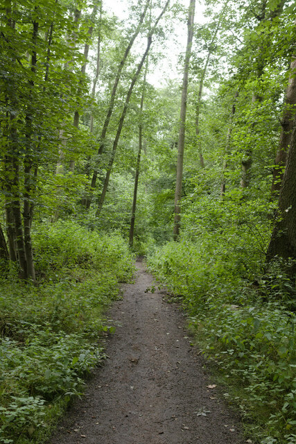
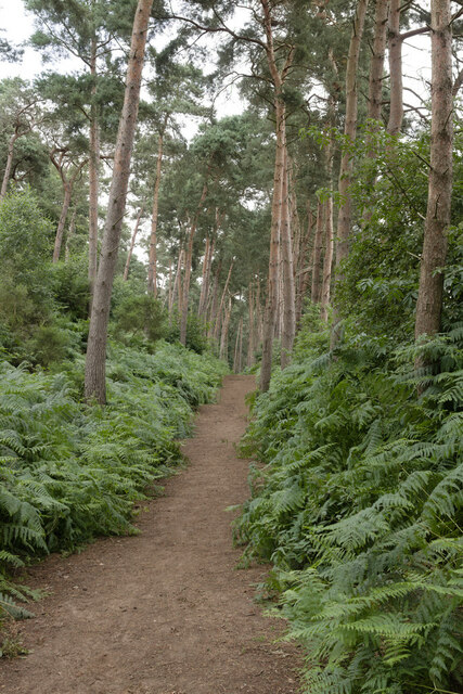
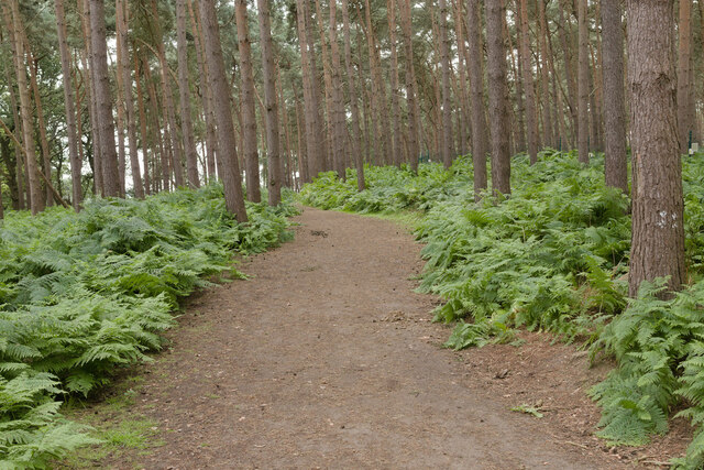
Cooper's Hill offers stunning panoramic views of the surrounding countryside, with its summit providing an ideal vantage point to admire the picturesque landscape. The hill is covered with lush greenery, including a mix of deciduous and coniferous trees, creating a diverse and vibrant ecosystem. It is home to various wildlife species, including birds, mammals, and insects, making it a popular destination for birdwatching and wildlife photography.

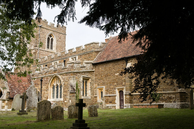
The hill is also notable for its historical significance. It is believed to have derived its name from the traditional occupation of coopers, who used to craft barrels and casks in the vicinity during earlier centuries. The area surrounding Cooper's Hill has witnessed human habitation dating back to prehistoric times, with archaeological discoveries revealing evidence of ancient settlements and burial sites.

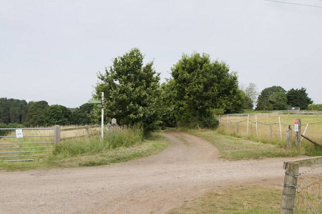
For outdoor enthusiasts, Cooper's Hill offers ample opportunities for recreational activities. It features numerous footpaths and trails that cater to hikers, walkers, and runners. With its steep slopes, it also attracts thrill-seekers who engage in adrenaline-pumping sports like paragliding and hang gliding.

Cooper's Hill is a cherished natural landmark in Bedfordshire, offering a tranquil escape from the hustle and bustle of daily life while providing a window into the region's cultural and ecological heritage.

If you have any feedback on the listing, please let us know in the comments section below.

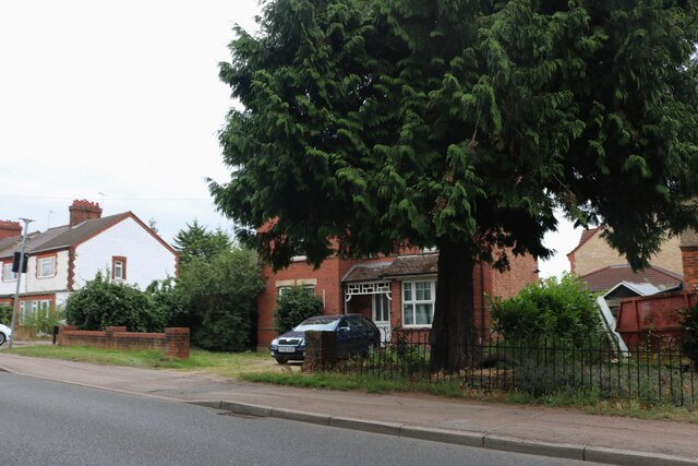
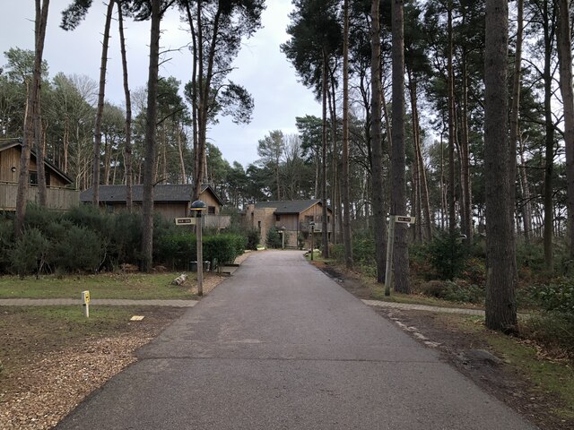
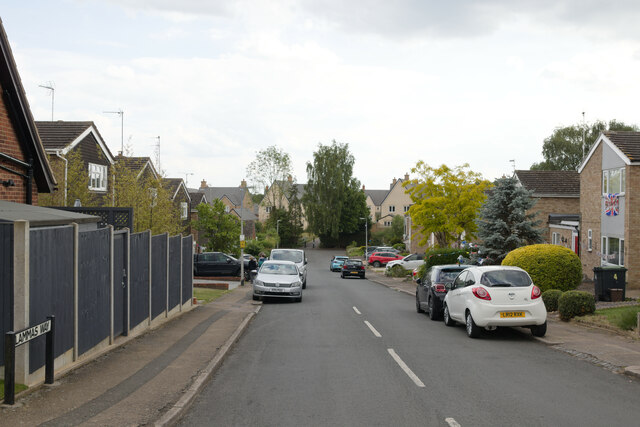
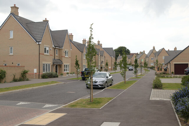
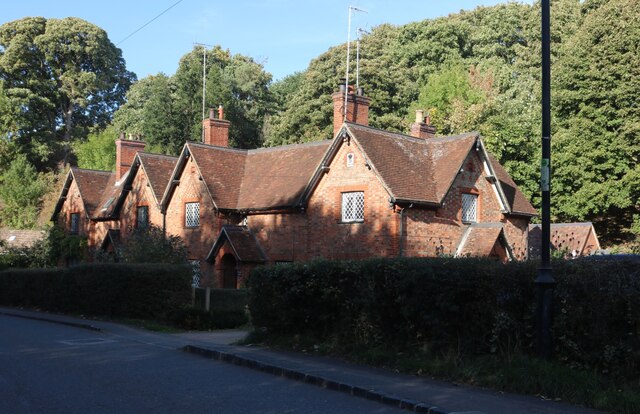
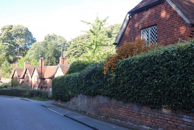
Cooper's Hill Images

Images are sourced within 2km of 52.027934/-0.50362571 or Grid Reference TL0237. Thanks to Geograph Open Source API. All images are credited.

Pylons near Ossory Farm
Footpath junction near Warren Farm
Cut Bench Mark, St Michael's Church, Millbrook Bench Mark Database: <span class="nowrap"><a title="https://www.bench-marks.org.uk/bm152583" rel="nofollow ugc noopener" href="https://www.bench-marks.org.uk/bm152583">Link</a><img style="margin-left:2px;" alt="External link" title="External link - shift click to open in new window" src="https://s1.geograph.org.uk/img/external.png" width="10" height="10"/></span>
Cut Bench Mark, St Michael's Church, Millbrook
Bench Mark Database: LinkExternal link
St Michael's Church, Millbrook There is a cut bench mark on the buttress to the right of the photograph and a closer view can be seen here: <a href="https://www.geograph.org.uk/photo/6922586">TL0138 : Cut Bench Mark, St Michael's Church, Millbrook</a>.
St Michael's Church, Millbrook
There is a cut bench mark on the buttress to the right of the photograph and a closer view can be seen here: TL0138 : Cut Bench Mark, St Michael's Church, Millbrook.
Path near Millbrook The path has been diverted so that it now meets the road at a traffic light controlled crossing.
Path near Millbrook
The path has been diverted so that it now meets the road at a traffic light controlled crossing.
Bridleway in the Woods This bridleway runs between Woburn Road and the edge of the Center Parcs holiday village.
Bridleway in the Woods
This bridleway runs between Woburn Road and the edge of the Center Parcs holiday village.
Bridleway near Center Parcs
Bridleway, Moor Plantation
Bridleway to the East of Center Parcs
Bridleway near Fordfield Farm
Houses on Ampthill Road, Flitwick
Holiday Lodges, Center Parcs
Christmas Bauble Sculpture, Center Parcs
Lammas Way, Ampthill Looking down Lammas Way with the new Poppy Drive development visible at the bottom of the hill.
Lammas Way, Ampthill
Looking down Lammas Way with the new Poppy Drive development visible at the bottom of the hill.
Poppy Drive, Ampthill A new housing development to the South of Ampthill.
Poppy Drive, Ampthill
A new housing development to the South of Ampthill.
Sandhill Close, Millbrook
Houses on Sandhill Close, Millbrook
Sandhill Close, Millbrook
Show me another place!

Cooper's Hill is located at Grid Ref: TL0237 (Lat: 52.027934, Lng: -0.50362571)

Unitary Authority: Central Bedfordshire

Police Authority: Bedfordshire

What 3 Words

///admit.brisk.steaming. Near Ampthill, Bedfordshire

Related Wikis

Cooper's Hill, Bedfordshire

Cooper's Hill is an 18.1-hectare (45-acre) biological Site of Special Scientific Interest in Ampthill in Bedfordshire. It was notified under Section 28...

Ampthill Town F.C.

Ampthill Town Football Club is a football club based in Ampthill, Bedfordshire, England. The club are currently members of Spartan South Midlands League...

Ampthill Rural District

Ampthill was a rural district in Bedfordshire, England from 1894 to 1974. It entirely surrounded but did not include the urban district of Ampthill. The...

Ampthill railway station

Ampthill railway station was built over a mile from the historic market town of Ampthill in the English county of Bedfordshire by the Midland Railway in...

Nearby Amenities

Located within 500m of 52.027934,-0.50362571
Barrier: bollard
Lat/Long: 52.0245482/-0.5066445
Turning Circle
Lat/Long: 52.0247687/-0.4991919
Turning Circle
Turning Circle: hammer
Lat/Long: 52.0300214/-0.4987111
Turning Circle
Turning Circle: hammer
Lat/Long: 52.0242477/-0.5025543
Turning Circle
Turning Circle: square
Lat/Long: 52.0239749/-0.5018255
Turning Circle
Turning Circle: hammer
Lat/Long: 52.0241346/-0.5003224
Turning Circle
Turning Circle: knuckle
Lat/Long: 52.0235034/-0.5026801
Crossing
Crossing: zebra
Crossing Island: no
Lat/Long: 52.0265332/-0.4981798
Historic: memorial
Lat/Long: 52.0288164/-0.5007046
War Memorial
Historic: memorial
Lat/Long: 52.0282545/-0.5014504
Turning Circle
Turning Circle: hammer
Lat/Long: 52.0273655/-0.4973706
Social Facility
Agate House
Addr City: Ampthill
Addr Country: GB
Addr Postcode: MK45 2HX
Addr Street: Woburn Street
Fhrs Authority: Central Bedfordshire
Fhrs Id: 450499
Fhrs Local Authority Id: 332
Operator: Leonard Cheshire Disability
Social Facility: assisted_living
Lat/Long: 52.0315382/-0.5001622
Barrier: kissing_gate
Lat/Long: 52.0320479/-0.5041719
Waste Basket
Waste: dog_excrement
Lat/Long: 52.0319097/-0.5037001
Waste Basket
Waste: dog_excrement
Lat/Long: 52.0288383/-0.500752
Waste Basket
Waste: dog_excrement
Lat/Long: 52.0306228/-0.5037541
Waste Basket
Waste: dog_excrement
Lat/Long: 52.0256453/-0.5026928
Waste Basket
Waste: dog_excrement
Lat/Long: 52.0266035/-0.4981768
Waste Basket
Waste: dog_excrement
Lat/Long: 52.0297984/-0.4994607
Direction: 65
Generator Method: photovoltaic
Generator Output Electricity: yes
Generator Solar Modules: 5
Generator Source: solar
Generator Type: solar_photovoltaic_panel
Location: roof
Power: generator
Lat/Long: 52.0245649/-0.5057362
Direction: 245
Generator Method: photovoltaic
Generator Output Electricity: yes
Generator Solar Modules: 7
Generator Source: solar
Generator Type: solar_photovoltaic_panel
Location: roof
Power: generator
Lat/Long: 52.0245546/-0.5057663
Traffic Calming: cushion
Lat/Long: 52.0263031/-0.4992447
Traffic Calming: hump
Lat/Long: 52.0266214/-0.4985506
Direction: 185
Generator Method: photovoltaic
Generator Output Electricity: yes
Generator Solar Modules: 16
Generator Source: solar
Generator Type: solar_photovoltaic_panel
Location: roof
Power: generator
Lat/Long: 52.0264451/-0.4974961
Traffic Calming: cushion
Lat/Long: 52.0266494/-0.4976112
Turning Circle
Turning Circle: knuckle
Lat/Long: 52.0251418/-0.5001999
Direction: 180
Generator Method: photovoltaic
Generator Output Electricity: yes
Generator Solar Modules: 2
Generator Source: solar
Generator Type: solar_photovoltaic_panel
Location: roof
Power: generator
Lat/Long: 52.0252278/-0.5005538
Direction: 90
Generator Method: photovoltaic
Generator Output Electricity: yes6
Generator Solar Modules: 16
Generator Source: solar
Generator Type: solar_photovoltaic_panel
Location: roof
Power: generator
Lat/Long: 52.0252388/-0.500482
Direction: 270
Generator Method: photovoltaic
Generator Output Electricity: yes
Generator Solar Modules: 2
Generator Source: solar
Generator Type: solar_photovoltaic_panel
Location: roof
Power: generator
Lat/Long: 52.0252657/-0.5005116
Direction: 160
Generator Method: photovoltaic
Generator Output Electricity: yes
Generator Solar Modules: 4
Generator Source: solar
Generator Type: solar_photovoltaic_panel
Location: roof
Power: generator
Lat/Long: 52.0255446/-0.5018957
Crossing
Crossing: unmarked
Lat/Long: 52.0242145/-0.5069981
Crossing
Crossing: unmarked
Lat/Long: 52.0242398/-0.5068425
Turning Circle
Turning Circle: knuckle
Lat/Long: 52.0236369/-0.5039504
Direction: 200
Generator Method: photovoltaic
Generator Output Electricity: yes
Generator Solar Modules: 14
Generator Source: solar
Generator Type: solar_photovoltaic_panel
Location: roof
Power: generator
Lat/Long: 52.0245823/-0.4999457
Direction: 285
Generator Method: photovoltaic
Generator Output Electricity: yes
Generator Solar Modules: 12
Generator Source: solar
Generator Type: solar_photovoltaic_panel
Location: roof
Power: generator
Lat/Long: 52.0250735/-0.4982063
Direction: 90
Generator Method: photovoltaic
Generator Output Electricity: yes
Generator Solar Modules: 8
Generator Source: solar
Generator Type: solar_photovoltaic_panel
Location: roof
Power: generator
Lat/Long: 52.0272939/-0.4970848
Direction: 270
Fixme: survey for panel count
Generator Method: photovoltaic
Generator Output Electricity: yes
Generator Solar Modules: 8
Generator Source: solar
Generator Type: solar_photovoltaic_panel
Location: roof
Power: generator
Lat/Long: 52.0272911/-0.4971532
Turning Circle
Turning Circle: knuckle
Lat/Long: 52.0287355/-0.4978593
Direction: 185
Generator Method: photovoltaic
Generator Output Electricity: yes
Generator Solar Modules: 6
Generator Source: solar
Generator Type: solar_photovoltaic_panel
Location: roof
Power: generator
Lat/Long: 52.0311746/-0.4996615
Crossing
Lat/Long: 52.0320513/-0.502323
Waste Basket
Waste: dog_excrement
Lat/Long: 52.027587/-0.4983769
The data included in this document is from www.openstreetmap.org. The data is made available under ODbL.

Have you been to Cooper's Hill?

Leave your review of Cooper's Hill below (or comments, questions and feedback).