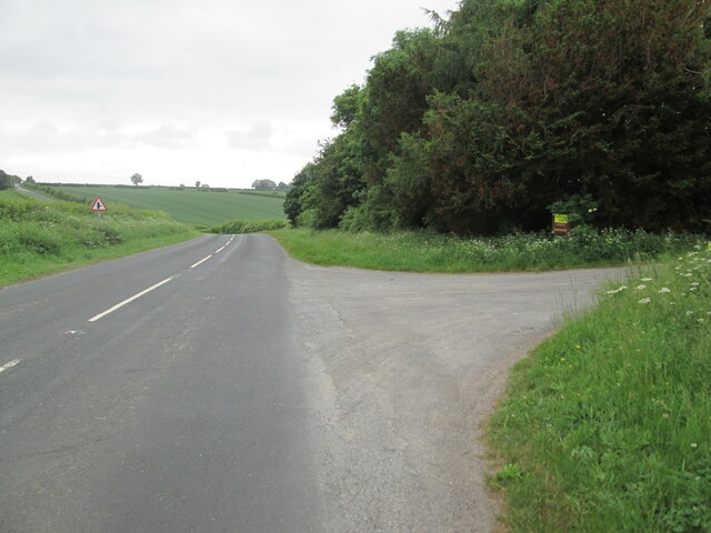
Beacon Hill
Hill, Mountain in Lincolnshire
England
Beacon Hill
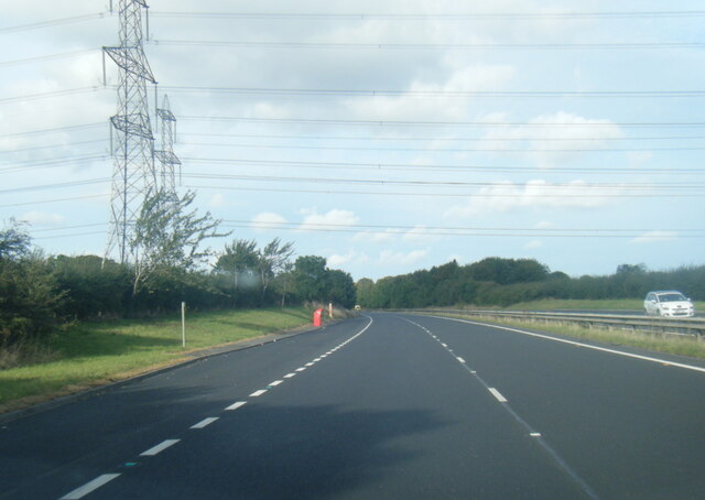
Beacon Hill is a prominent hill located in the county of Lincolnshire, England. With an elevation of 168 meters (551 feet) above sea level, it stands as the highest point in the county, offering stunning panoramic views of the surrounding landscape. Situated near the village of Grantham, Beacon Hill is a popular destination for outdoor enthusiasts and nature lovers.
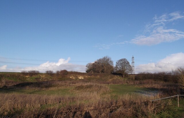
The hill is characterized by its unique geological features, including a distinctive limestone escarpment that stretches along its western slopes. This escarpment is a remnant of an ancient coral reef that formed around 165 million years ago during the Jurassic period. The hill is also home to several rare plant species, including the bee orchid and the chalk milkwort, which thrive in the alkaline soil of the area.
In addition to its geological and ecological significance, Beacon Hill has a rich historical background. During the Roman era, the hill served as a signaling point, with beacons lit to communicate important messages across long distances. This strategic location continued to be used throughout history, including during the English Civil War in the 17th century.
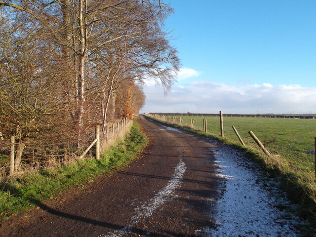
Today, Beacon Hill attracts visitors from near and far who come to enjoy its natural beauty and explore the various walking trails that traverse the area. The hill is also a designated Site of Special Scientific Interest (SSSI) due to its geological and ecological importance. With its combination of stunning views, unique geology, and historical significance, Beacon Hill is a must-visit destination for anyone exploring Lincolnshire.
If you have any feedback on the listing, please let us know in the comments section below.
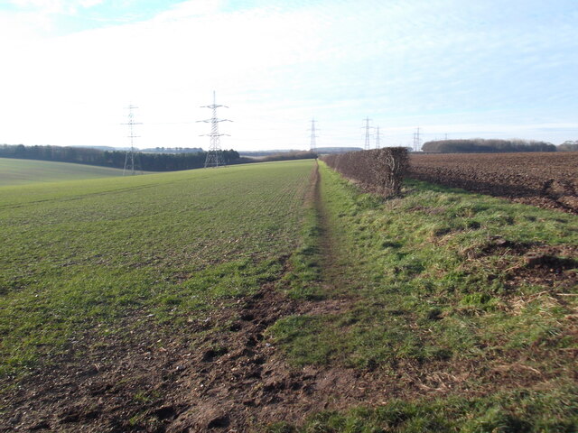
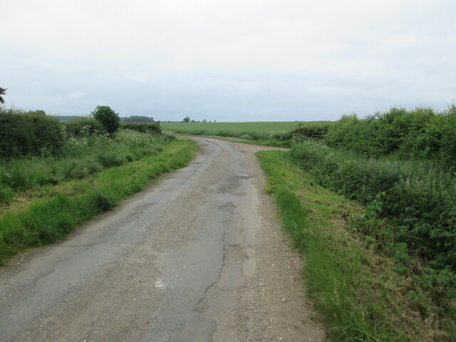
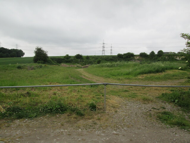
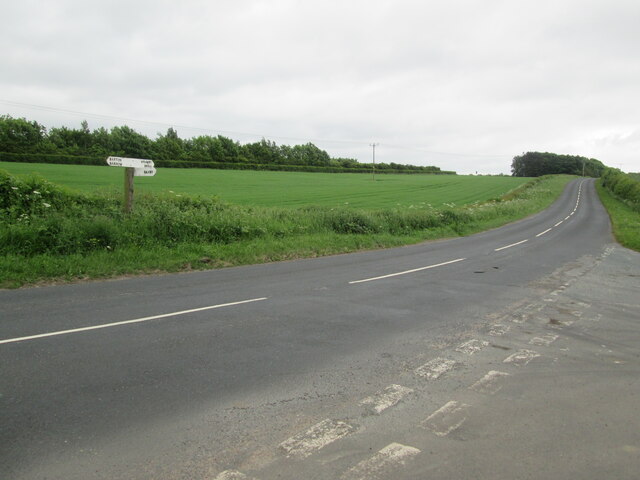
Beacon Hill Images
Images are sourced within 2km of 53.664788/-0.44739857 or Grid Reference TA0219. Thanks to Geograph Open Source API. All images are credited.


Beacon Hill is located at Grid Ref: TA0219 (Lat: 53.664788, Lng: -0.44739857)
Unitary Authority: North Lincolnshire
Police Authority: Humberside
What 3 Words
///september.pasta.sound. Near Barton upon Humber, Lincolnshire
Nearby Locations
Related Wikis

Baysgarth Park
Baysgarth Park is a public park situated in the market town of Barton-upon-Humber, Lincolnshire, England.The park provides thirty acres of recreational...
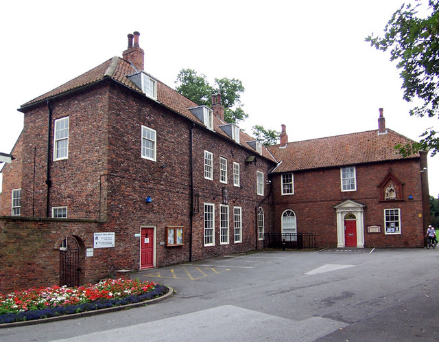
Baysgarth House Museum
Baysgarth House Museum is a local museum located in Baysgarth House, situated in Baysgarth Park, in the market town of Barton-upon-Humber, Lincolnshire...

Bardney Hall
Bardney Hall is an 18th-century residence and a Grade II* Listed building in Barton-upon-Humber, North Lincolnshire. It was constructed as a private residence...
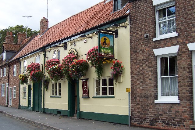
The Volunteer Arms, Barton-upon-Humber
The Volunteer Arms is a grade II listed building and working public house in Barton-upon-Humber, North Lincolnshire, England. == References ==
Nearby Amenities
Located within 500m of 53.664788,-0.44739857Have you been to Beacon Hill?
Leave your review of Beacon Hill below (or comments, questions and feedback).