Shutcastle Inclosure

Wood, Forest in Gloucestershire Forest of Dean

England

Shutcastle Inclosure

Former toll house The Pike House, built as a turnpike house.  A 19th century former toll house which was enlarged in the early 20th century.   The house stands on the junction of the B4431 and the road to Bream.  The house is Grade II listed, see: <span class="nowrap"><a title="https://historicengland.org.uk/listing/the-list/list-entry/1299231" rel="nofollow ugc noopener" href="https://historicengland.org.uk/listing/the-list/list-entry/1299231">Link</a><img style="margin-left:2px;" alt="External link" title="External link - shift click to open in new window" src="https://s1.geograph.org.uk/img/external.png" width="10" height="10"/></span>
Former toll house Credit: Philip Halling

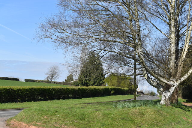
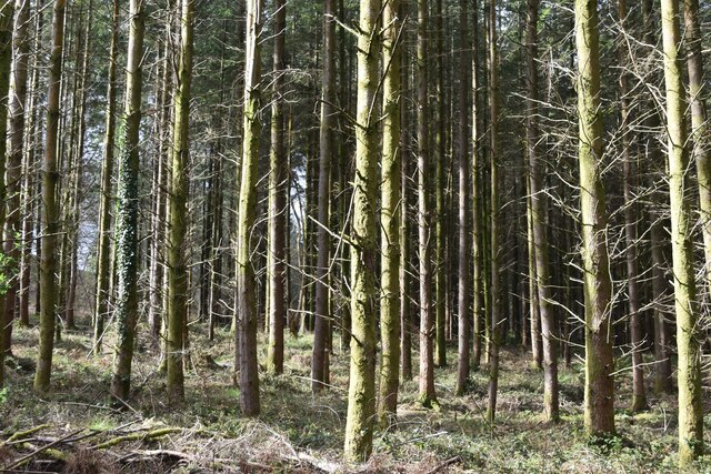
Shutcastle Inclosure is a picturesque woodland located in the county of Gloucestershire, England. Situated within the heart of the Forest of Dean, this enchanting forest spans over a vast area of approximately 500 acres. Its unique name is derived from the old English word "scyttel" meaning "a piece of land enclosed for special use."

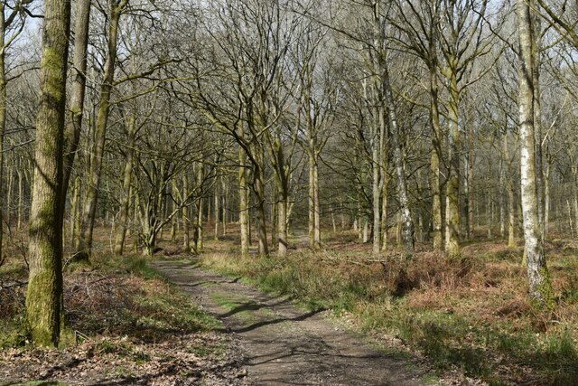
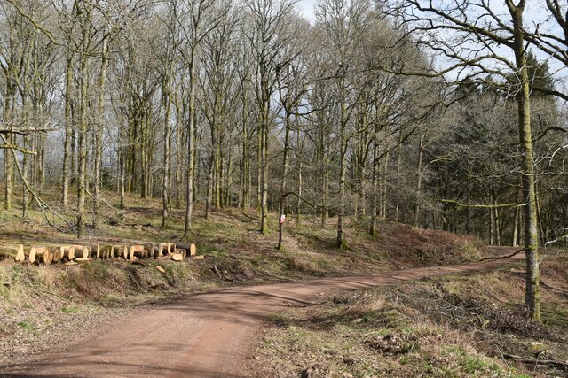
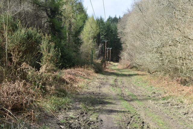
The woodland is predominantly composed of a diverse range of tree species, including oak, beech, ash, and birch. These majestic trees create a dense canopy, providing a tranquil and shaded refuge from the sun. The forest floor is adorned with a rich carpet of wildflowers, ferns, and mosses, adding to the area's natural beauty.

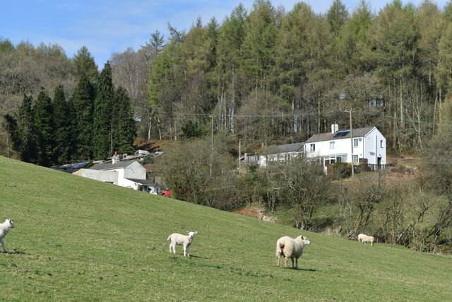
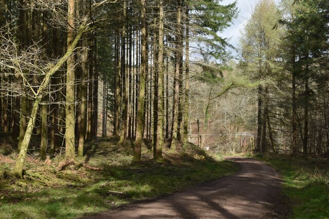
Shutcastle Inclosure is a haven for wildlife enthusiasts and nature lovers. The woodlands are home to a variety of animal species, such as deer, foxes, badgers, and an array of birdlife. Visitors may catch glimpses of these creatures as they explore the numerous walking trails that crisscross the forest.

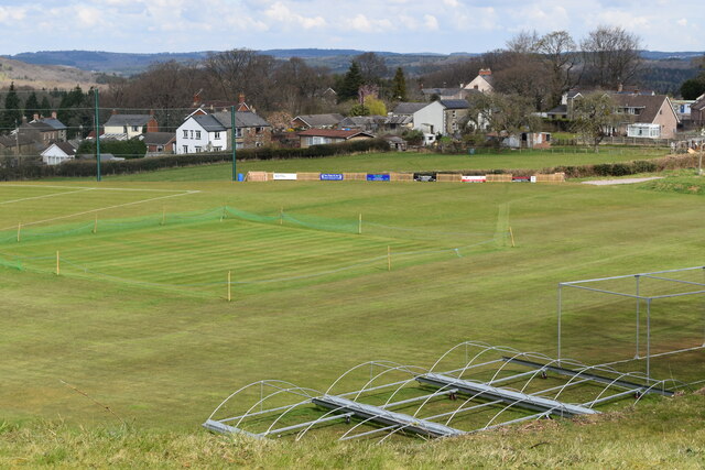
The inclosure offers a range of recreational activities for visitors to enjoy. Walking, hiking, and cycling are popular pursuits, with well-maintained paths and trails catering to all abilities. The serene atmosphere and stunning scenery also make Shutcastle Inclosure an ideal location for picnics and nature photography.

Managed by the Forestry Commission, this ancient woodland has a rich history. The remains of an Iron Age hillfort can still be seen within its boundaries, adding an extra layer of intrigue to the area. Additionally, the forest has been actively managed for timber production over the years, ensuring a sustainable and thriving ecosystem.

Overall, Shutcastle Inclosure is a gem within the Forest of Dean, offering a peaceful retreat for visitors seeking to immerse themselves in the natural beauty of Gloucestershire's woodlands.

If you have any feedback on the listing, please let us know in the comments section below.

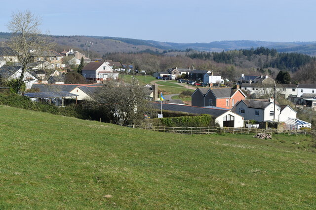
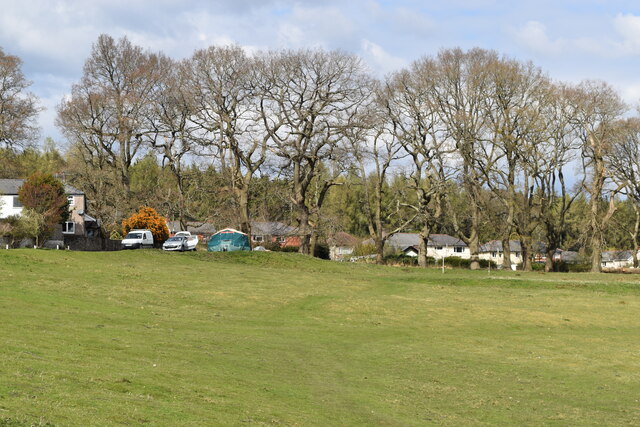
Shutcastle Inclosure Images

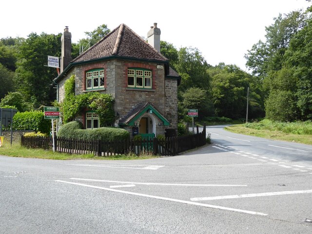
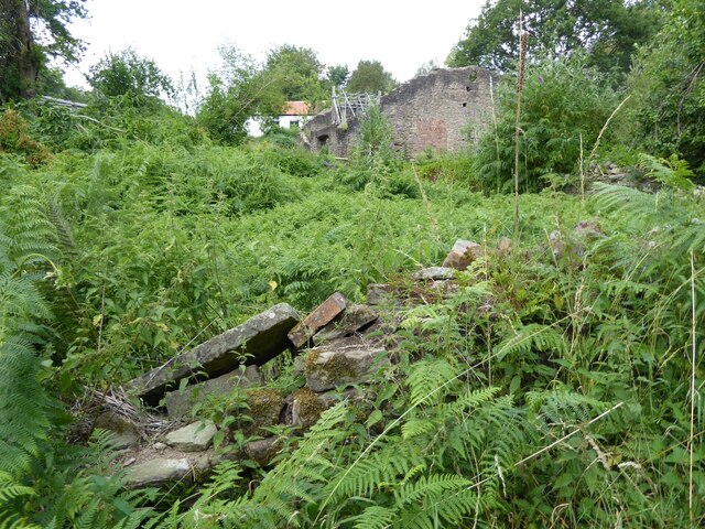
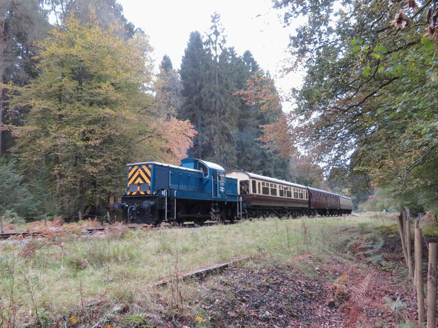
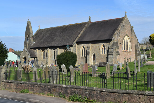
Images are sourced within 2km of 51.760389/-2.583161 or Grid Reference SO5907. Thanks to Geograph Open Source API. All images are credited.

Former toll house The Pike House, built as a turnpike house.  A 19th century former toll house which was enlarged in the early 20th century.   The house stands on the junction of the B4431 and the road to Bream.  The house is Grade II listed, see: <span class="nowrap"><a title="https://historicengland.org.uk/listing/the-list/list-entry/1299231" rel="nofollow ugc noopener" href="https://historicengland.org.uk/listing/the-list/list-entry/1299231">Link</a><img style="margin-left:2px;" alt="External link" title="External link - shift click to open in new window" src="https://s1.geograph.org.uk/img/external.png" width="10" height="10"/></span>
Former toll house
The Pike House, built as a turnpike house. A 19th century former toll house which was enlarged in the early 20th century. The house stands on the junction of the B4431 and the road to Bream. The house is Grade II listed, see: LinkExternal link
The remains of the Titanic Steelworks The Titanic steelworks were so named because Robert Mushet the owner was experimenting with Titanium at that time.  Robert Mushet was working on solving the problems with the Bessemer steel making process.
The remains of the Titanic Steelworks
The Titanic steelworks were so named because Robert Mushet the owner was experimenting with Titanium at that time. Robert Mushet was working on solving the problems with the Bessemer steel making process.
Dean Forest Railway near Parkend Class 14 No. D9521 approaches Parkend during the Dean Forest Railway's delayed 50th anniversary gala.
Dean Forest Railway near Parkend
Class 14 No. D9521 approaches Parkend during the Dean Forest Railway's delayed 50th anniversary gala.
St James’ Church Bream Sunday morning worshippers gathering outside the door.
St James’ Church Bream
Sunday morning worshippers gathering outside the door.
Wide verge beside Lyndsey Road
View over Pastor’s Hill, Bream
Downhill view at Pastor’s Hill
Houses on hillside at Pastor’s Hill
Stream below Whitecroft Road Close to the site of the former Princess Royal Colliery.
Stream below Whitecroft Road
Close to the site of the former Princess Royal Colliery.
Grassy hillside below Cox's Way
Sports ground at Bream Seen from the Cenotaph.
Sports ground at Bream
Seen from the Cenotaph.
Woodland path at Parkend Walk
Timber stacked beside the Gloucestershire Way
Forest track beside Dry Brook
View into woods at Parkend Walk
Forest tack at Parkend Walk
Track and house below former railway line
Cycle route on former railway from Parkend to Coleford
Show me another place!

Shutcastle Inclosure is located at Grid Ref: SO5907 (Lat: 51.760389, Lng: -2.583161)

Administrative County: Gloucestershire

District: Forest of Dean

Police Authority: Gloucestershire

What 3 Words

///purified.little.sports. Near Bream, Gloucestershire

Related Wikis

Mary Rose Young

Mary Rose Young is a ceramic artist who lives and works in the Forest of Dean, Gloucestershire, in the UK. == Early life == Mary Rose Young was born near...

Bream, Gloucestershire

Bream (historically known as Breem) is a village in the Forest of Dean, west Gloucestershire, England. The population was around 3,170 in the 2011 census...

Ellwood, Gloucestershire

Ellwood is a hamlet in the Forest of Dean district in Gloucestershire, England. It lies around 3 kilometres (1.9 mi) south-east of Coleford. The hamlet...

Nagshead

Nagshead is a woodland reserve, located on the western edge of Parkend, in the Forest of Dean, Gloucestershire, and is home to RSPB Nagshead. The site...

West Dean, Gloucestershire

West Dean is a civil parish, situated in the Forest of Dean district of Gloucestershire, England. == History == The Forest of Dean was an extra-parochial...

Sling, Gloucestershire

Sling is a village in Gloucestershire, England. The village is located between Clearwell and Bream. It is just south of the village of Milkwall. ��2�...

Darkhill Ironworks

Darkhill Ironworks, and the neighbouring Titanic Steelworks, are internationally important industrial remains associated with the development of the iron...

Parkend railway station

Parkend railway station is located in the village of Parkend, in the Forest of Dean, Gloucestershire. It is currently the northern terminus of the Dean...

Nearby Amenities

Located within 500m of 51.760389,-2.583161
Clement's Tump
Created By: Potlatch 0.10f
Historic: monument
Source: NPE
Lat/Long: 51.7587537/-2.5895981
Power: pole
Lat/Long: 51.7624551/-2.5858963
Power: pole
Lat/Long: 51.7621551/-2.5814298
Power: pole
Lat/Long: 51.7614192/-2.5773937
Power: pole
Lat/Long: 51.7634279/-2.5871194
Power: pole
Lat/Long: 51.7614524/-2.5787455
Power: pole
Lat/Long: 51.7617661/-2.5799203
Power: pole
Lat/Long: 51.7621181/-2.5845632
Power: pole
Lat/Long: 51.7583128/-2.5794107
Power: pole
Lat/Long: 51.7584888/-2.5849937
Power: pole
Lat/Long: 51.7593944/-2.5874895
Power: pole
Lat/Long: 51.7596194/-2.5883451
Power: pole
Lat/Long: 51.7599714/-2.5899008
The data included in this document is from www.openstreetmap.org. The data is made available under ODbL.

Have you been to Shutcastle Inclosure?

Leave your review of Shutcastle Inclosure below (or comments, questions and feedback).