Big Wood

Wood, Forest in Lancashire Preston

England

Big Wood

On Dean Lane
On Dean Lane Credit: Chris Heaton

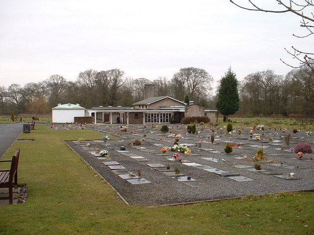
Big Wood is a large forest located in the county of Lancashire, England. Spanning an area of approximately 500 hectares, it is one of the largest woodlands in the region. The forest is situated in the southern part of Lancashire, near the town of Wood.

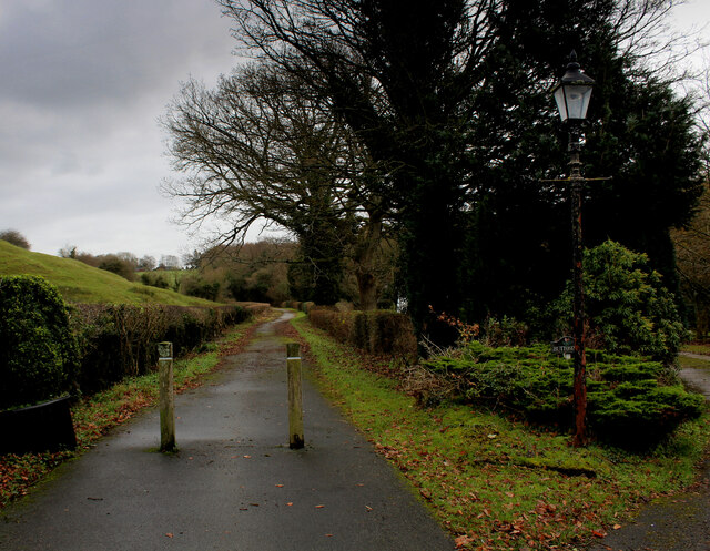
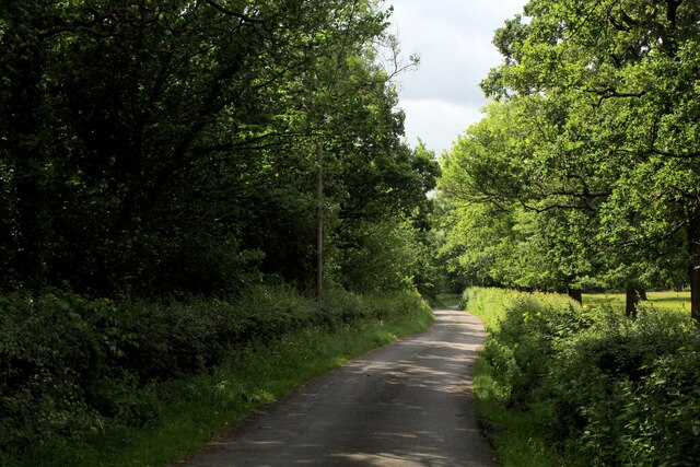
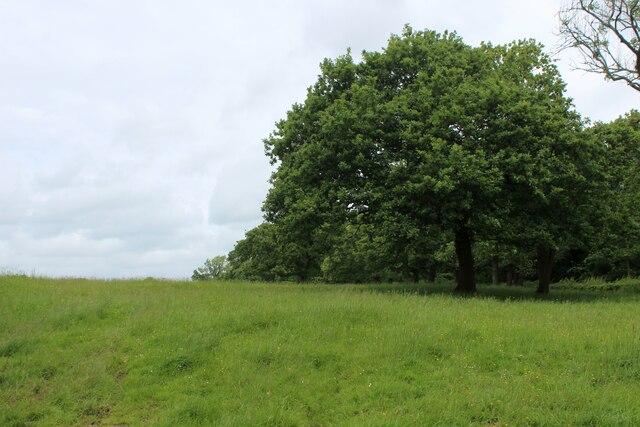
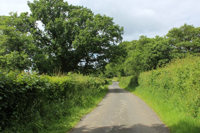
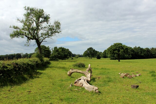
Big Wood boasts a diverse range of trees and vegetation, making it a haven for wildlife and nature enthusiasts. The woodland consists primarily of deciduous trees such as oak, beech, and birch, which provide a stunning display of colors during the autumn season. In addition to these, there are also coniferous trees like pine and spruce scattered throughout the forest.

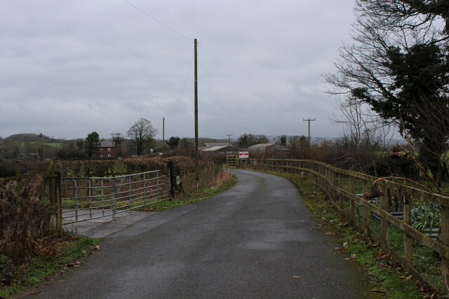
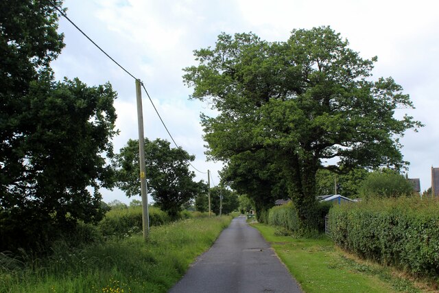
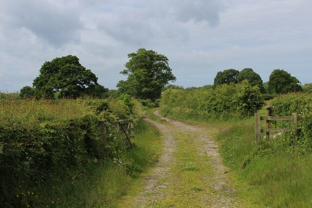
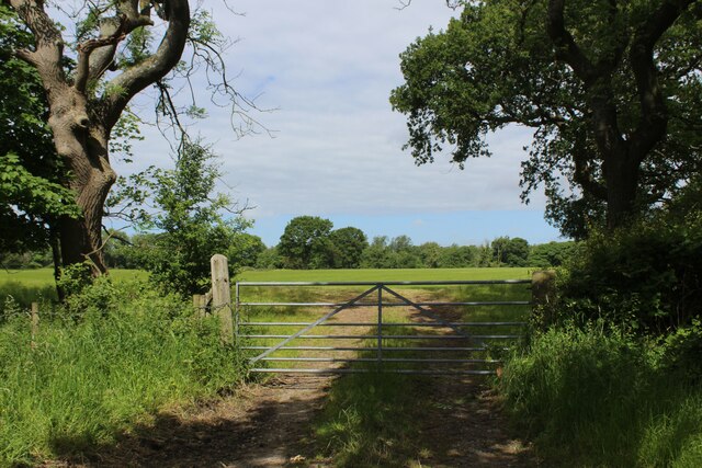
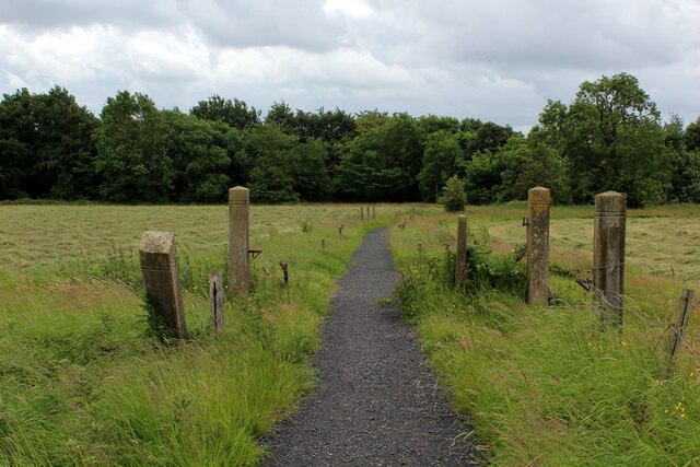
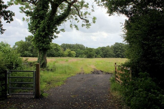
The forest is intersected by several well-maintained trails and footpaths, allowing visitors to explore the area on foot or by bike. These pathways wind through the dense woodland, offering breathtaking views of the surrounding countryside. The forest is home to a variety of wildlife, including deer, foxes, badgers, and numerous bird species, making it a popular spot for birdwatching and wildlife photography.

Big Wood is managed and protected by the local conservation authority, ensuring the preservation of its natural beauty and biodiversity. The forest also serves as an important carbon sink, contributing to the reduction of greenhouse gases in the area.

Overall, Big Wood in Lancashire is a picturesque and ecologically significant woodland, providing a tranquil escape from the hustle and bustle of urban life.

If you have any feedback on the listing, please let us know in the comments section below.
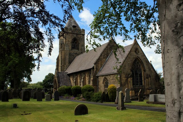
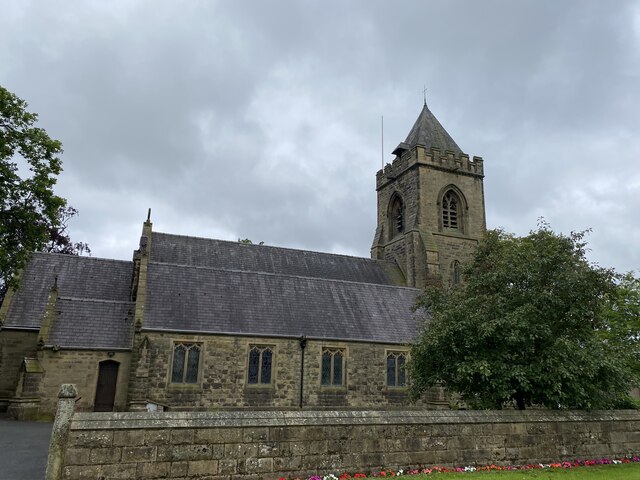
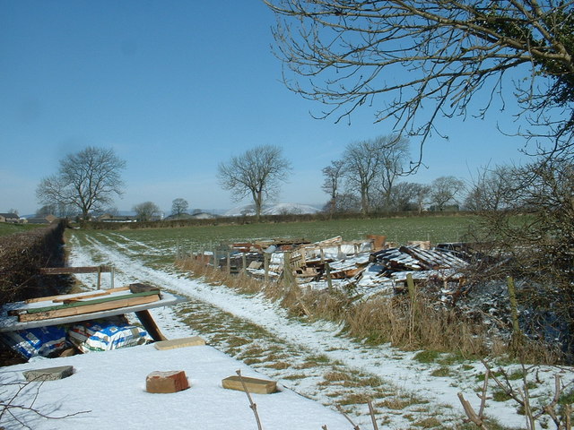
Big Wood Images

Images are sourced within 2km of 53.7917/-2.610972 or Grid Reference SD5932. Thanks to Geograph Open Source API. All images are credited.

On Dean Lane
On Dean Lane
Access to Lower Hall Farm The end of Potter Lane, becomes the access lane for Lower Hall Farm on the banks of the River Ribble
Access to Lower Hall Farm
The end of Potter Lane, becomes the access lane for Lower Hall Farm on the banks of the River Ribble
Our Lady and St. Michael Roman Catholic Church Grade II Listed building dating from 1856, replacing an earlier church founded in 1765.
Located on Alston Lane near Grimsargh.
Our Lady and St. Michael Roman Catholic Church
Grade II Listed building dating from 1856, replacing an earlier church founded in 1765. Located on Alston Lane near Grimsargh.
Access Lane to Wood Farm
Farm Track leading towards Elston Lane
Elston Lane in Big Wood Adopted by the Ribble Way long distance footpath - but maybe for not much longer.
About half a mile further on, the trail takes to fields before descending sharply through woods to cross Tun Brook - but the footbridge has gone, and it will be a very long time if ever that a replacement is constructed.
A red notice near Place House Farm advises walkers to find an alternative route, and another partially obscured effort in Big Wood tells Ribble Way walkers to turn round, and then turn left off Elston Lane before Chapel House Farm.
This will take walkers across Tun Brook, and will probably see the Ribble Way permanently re-routed on this footpath.
<a href="https://www.geograph.org.uk/photo/3443988">SD5932 : Footbridge over Tun Brook</a>
Elston Lane in Big Wood
Adopted by the Ribble Way long distance footpath - but maybe for not much longer. About half a mile further on, the trail takes to fields before descending sharply through woods to cross Tun Brook - but the footbridge has gone, and it will be a very long time if ever that a replacement is constructed. A red notice near Place House Farm advises walkers to find an alternative route, and another partially obscured effort in Big Wood tells Ribble Way walkers to turn round, and then turn left off Elston Lane before Chapel House Farm. This will take walkers across Tun Brook, and will probably see the Ribble Way permanently re-routed on this footpath. SD5932 : Footbridge over Tun Brook
Pasture beside Elston Lane
On Elston Lane Adopted by the Ribble Way long distance footpath - but maybe for not much longer.
About half a mile further on, the trail takes to fields before descending sharply through woods to cross Tun Brook - but the footbridge has gone, and it will be a very long time if ever that a replacement is constructed.
A red notice near Place House Farm advises walkers to find an alternative route, and another partially obscured effort in Big Wood tells Ribble Way walkers to turn round, and then turn left off Elston Lane before Chapel House Farm.
This will take walkers across Tun Brook, and will probably see the Ribble Way permanently re-routed on this footpath.
<a href="https://www.geograph.org.uk/photo/3443988">SD5932 : Footbridge over Tun Brook</a>
On Elston Lane
Adopted by the Ribble Way long distance footpath - but maybe for not much longer. About half a mile further on, the trail takes to fields before descending sharply through woods to cross Tun Brook - but the footbridge has gone, and it will be a very long time if ever that a replacement is constructed. A red notice near Place House Farm advises walkers to find an alternative route, and another partially obscured effort in Big Wood tells Ribble Way walkers to turn round, and then turn left off Elston Lane before Chapel House Farm. This will take walkers across Tun Brook, and will probably see the Ribble Way permanently re-routed on this footpath. SD5932 : Footbridge over Tun Brook
Gate and Field off Elston Lane
Ribble Way heading towards Tun Brook Wood The Ribble Way long distance footpath crosses this pasture to the woods beyond - but maybe for not much longer.
A red notice beside the entrance to this field warns of a closure - informing walkers that the footbridge across Tun Brook has been destroyed, and it will be a very long time if ever that a replacement is constructed.
A red notice near Place House Farm advises walkers to find an alternative route, and another partially obscured effort in Big Wood tells Ribble Way walkers to turn round, and then turn left off Elston Lane before Chapel House Farm.
This will take walkers across Tun Brook, and will probably see the Ribble Way permanently re-routed on this footpath.
<a href="https://www.geograph.org.uk/photo/3443988">SD5932 : Footbridge over Tun Brook</a>
Ribble Way heading towards Tun Brook Wood
The Ribble Way long distance footpath crosses this pasture to the woods beyond - but maybe for not much longer. A red notice beside the entrance to this field warns of a closure - informing walkers that the footbridge across Tun Brook has been destroyed, and it will be a very long time if ever that a replacement is constructed. A red notice near Place House Farm advises walkers to find an alternative route, and another partially obscured effort in Big Wood tells Ribble Way walkers to turn round, and then turn left off Elston Lane before Chapel House Farm. This will take walkers across Tun Brook, and will probably see the Ribble Way permanently re-routed on this footpath. SD5932 : Footbridge over Tun Brook
Ribble Way approaching Red Scar Wood Hard surface path takes the long distance footpath to Red Scar Woods, which then follows the edge of the trees.
The woods conceal very steep banks that slide down to the River Ribble far below.
Ribble Way approaching Red Scar Wood
Hard surface path takes the long distance footpath to Red Scar Woods, which then follows the edge of the trees. The woods conceal very steep banks that slide down to the River Ribble far below.
Ribble Way near Roman Road Farm The long distance farm takes a sharp right here, before heading towards Red Scar Woods
Ribble Way near Roman Road Farm
The long distance farm takes a sharp right here, before heading towards Red Scar Woods
Approaching "The Hills" Housing Estate Crossing a patch of rough ground between the housing estate and the disused Longridge/Preston railway line
Approaching "The Hills" Housing Estate
Crossing a patch of rough ground between the housing estate and the disused Longridge/Preston railway line
St. Michael's Church, Grimsargh Grade II Listed Building located at the southern end of the village
St. Michael's Church, Grimsargh
Grade II Listed Building located at the southern end of the village
St Michael, Grimsargh
War Memorial The memorial at Three Mile Cross, Grimsargh.
War Memorial
The memorial at Three Mile Cross, Grimsargh.
Farm Junk near Grimsargh Reservoirs The reservoirs are just to the left, but I could not access them to get a view
Farm Junk near Grimsargh Reservoirs
The reservoirs are just to the left, but I could not access them to get a view
Preston Crematorium In the old grounds of "Red Scar Mansion" and now surrounded by industrial estates.
Preston Crematorium
In the old grounds of "Red Scar Mansion" and now surrounded by industrial estates.
Show me another place!

Big Wood is located at Grid Ref: SD5932 (Lat: 53.7917, Lng: -2.610972)

Administrative County: Lancashire

District: Preston

Police Authority: Lancashire

What 3 Words

///runways.august.submerge. Near Longridge, Lancashire

Related Wikis

Lancashire dialect

The Lancashire dialect (or colloquially, Lanky) refers to the Northern English vernacular speech of the English county of Lancashire. The region is notable...

Rock FM (Lancashire)

Rock FM is an Independent Local Radio station based in Manchester, England, owned and operated by Bauer as part of the Hits Radio network. It broadcasts...

Lancashire

Lancashire ( LAN-kə-shər, -⁠sheer; abbreviated Lancs) is a ceremonial county in North West England. It is bordered by Cumbria to the north, North Yorkshire...

Alston Hall

Alston Hall is a 19th-century Victorian gothic style country mansion located in Longridge (near Preston) in Lancashire, England. It is not to be confused...

St Michael's Church, Grimsargh

St Michael's Church is in the village of Grimsargh, Lancashire, England. It is an active Anglican parish church in the deanery of Grimsargh, the archdeaconry...

Grimsargh railway station

Grimsargh railway station was on the single track Preston and Longridge Railway. It served the village of Grimsargh in Lancashire, England. When the line...

Grimsargh

Grimsargh is a village and civil parish in the City of Preston, Lancashire, England. located 6 miles (10 km) east of Preston. == History == The name Grimsargh...
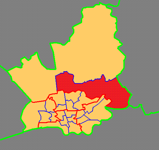
Preston Rural East

Preston Rural East is an electoral ward in the City of Preston, Lancashire, England. The ward is in the eastern and northeastern part of the city near...

Have you been to Big Wood?

Leave your review of Big Wood below (or comments, questions and feedback).