Nab Wood

Wood, Forest in Lancashire Preston

England

Nab Wood

Gantries and footbridge over M6
Gantries and footbridge over M6 Credit: Alpin Stewart

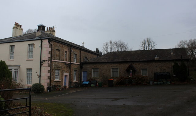
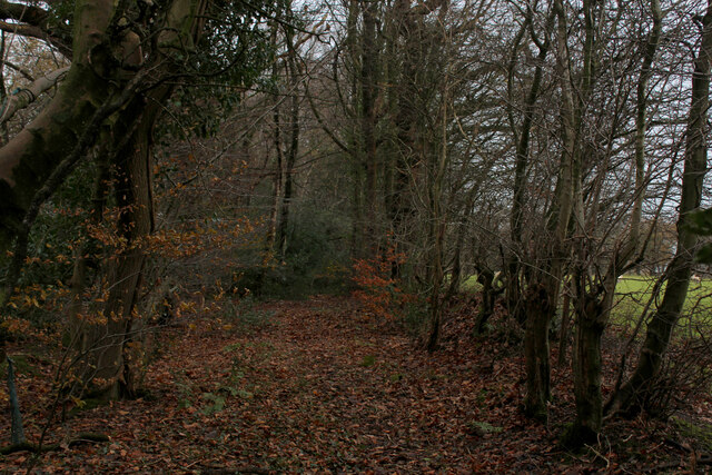
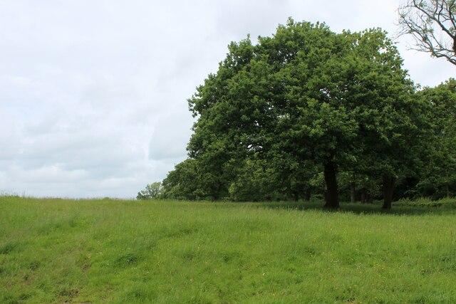
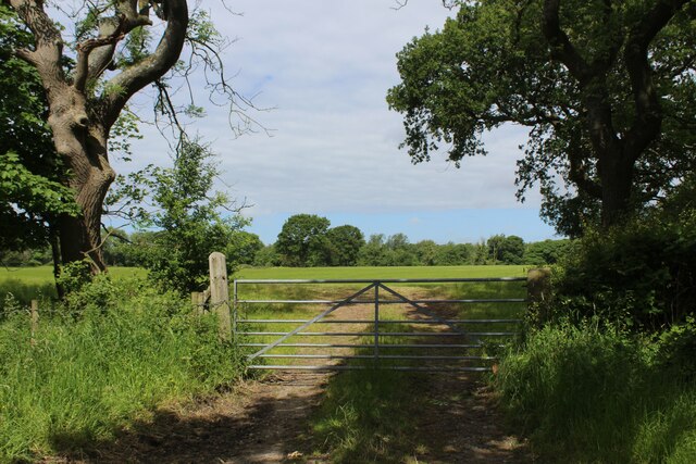
Nab Wood is a small residential area located in the county of Lancashire, England. Situated within the larger town of Bingley, Nab Wood is known for its picturesque natural surroundings and tranquil ambiance. As the name suggests, the area is characterized by its abundant woodlands and lush greenery, offering residents and visitors a serene environment to enjoy.

Nab Wood is primarily a residential area, with a mix of modern houses and traditional cottages that blend seamlessly with the natural landscape. The community is well-established and close-knit, creating a friendly and welcoming atmosphere for residents and newcomers alike.

The nearby Nab Wood Cemetery is a notable landmark in the area, dating back to the late 19th century. This historic cemetery adds a touch of heritage to the surroundings and provides a peaceful place for reflection and remembrance.

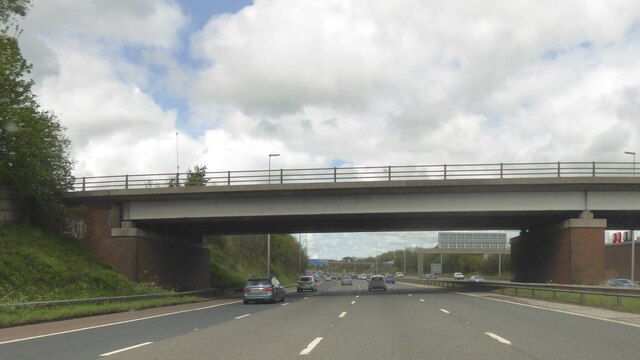
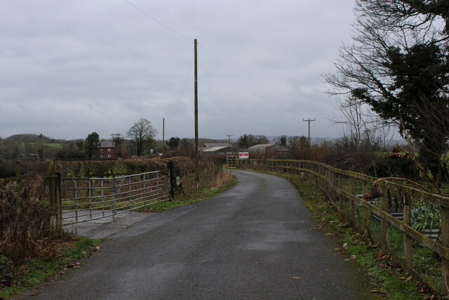
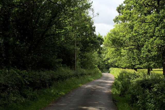
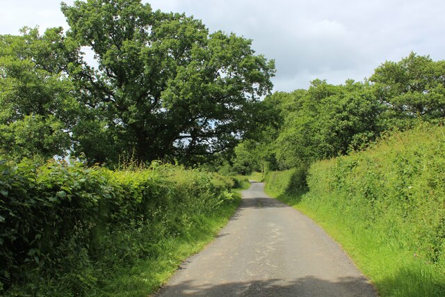
The location of Nab Wood is also advantageous for those seeking both rural tranquility and urban convenience. Bingley town center is within easy reach, offering a range of amenities including shops, restaurants, and leisure facilities. The area is well-connected to the surrounding towns and cities, with good transport links and access to major road networks.

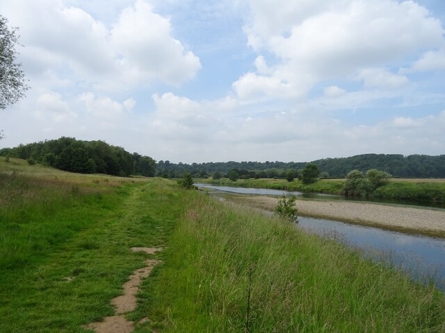
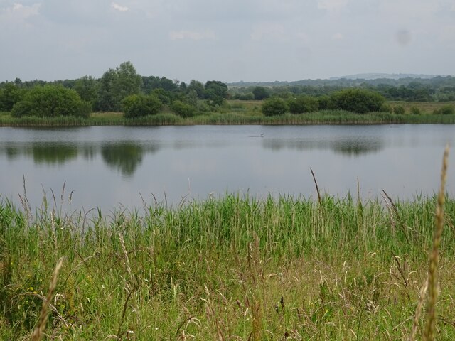
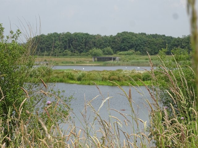
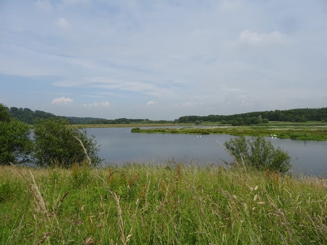
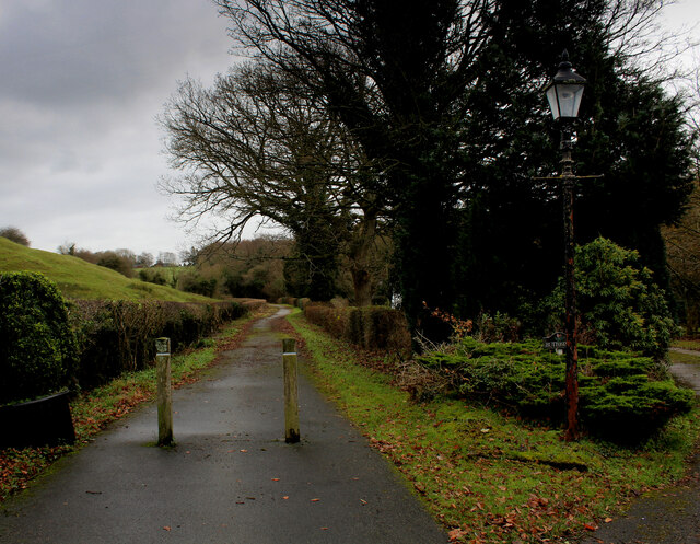
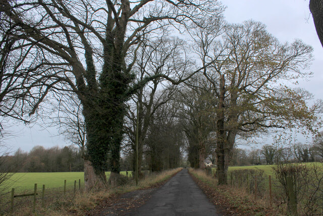
For nature enthusiasts, Nab Wood provides ample opportunities for outdoor activities such as walking, hiking, and birdwatching. The nearby countryside and woodlands offer beautiful trails and scenic views, making it an ideal destination for nature lovers.

In conclusion, Nab Wood in Lancashire is a charming residential area with a rich natural landscape and a strong sense of community. With its idyllic surroundings and convenient location, it presents an attractive option for those seeking a peaceful and well-connected place to live.

If you have any feedback on the listing, please let us know in the comments section below.

Nab Wood Images

Images are sourced within 2km of 53.783206/-2.6214874 or Grid Reference SD5932. Thanks to Geograph Open Source API. All images are credited.

Gantries and footbridge over M6
B6243 crossing M6
B6243 crossing M6
Path by the River Ribble at Brockholes Nature Reserve
Ribbleton Pool, Brockholes Nature Reserve
Number One Pit, Brockholes Nature Reserve
Number One Pit, Brockholes Nature Reserve The south end of the Number One Pit at Brockholes Nature Reserve.
Number One Pit, Brockholes Nature Reserve
The south end of the Number One Pit at Brockholes Nature Reserve.
Junction 31A signage - northbound M6
B6243 bridge - northbound M6
On Dean Lane
On Dean Lane
Access to Lower Hall Farm The end of Potter Lane, becomes the access lane for Lower Hall Farm on the banks of the River Ribble
Access to Lower Hall Farm
The end of Potter Lane, becomes the access lane for Lower Hall Farm on the banks of the River Ribble
Potter Lane An avenue of trees at the northern end of the no through road, that is Potter Lane.
Potter Lane
An avenue of trees at the northern end of the no through road, that is Potter Lane.
St. Mary and St John Southworth Church, Salmesbury Unusual Roman Catholic Church in the scattered community of Salmesbury
<a href="https://www.geograph.org.uk/photo/3876178">SD5930 : St Mary's And St John Southworth Church, Samlesbury</a>
St. Mary and St John Southworth Church, Salmesbury
Unusual Roman Catholic Church in the scattered community of Salmesbury SD5930 : St Mary's And St John Southworth Church, Samlesbury
Strip of Woodland beside the A59 Woodland footpath in the scattered community of Samlesbury.
Strip of Woodland beside the A59
Woodland footpath in the scattered community of Samlesbury.
St. Leonard the Less Church, Salmesbury Grade I Listed Building mostly dating from the 1550's. 
There are roughly around 10 saints called Leonard - but I cannot identify which one is applicable to this church.
St. Leonard the Less Church, Salmesbury
Grade I Listed Building mostly dating from the 1550's. There are roughly around 10 saints called Leonard - but I cannot identify which one is applicable to this church.
Elston Lane in Big Wood Adopted by the Ribble Way long distance footpath - but maybe for not much longer.
About half a mile further on, the trail takes to fields before descending sharply through woods to cross Tun Brook - but the footbridge has gone, and it will be a very long time if ever that a replacement is constructed.
A red notice near Place House Farm advises walkers to find an alternative route, and another partially obscured effort in Big Wood tells Ribble Way walkers to turn round, and then turn left off Elston Lane before Chapel House Farm.
This will take walkers across Tun Brook, and will probably see the Ribble Way permanently re-routed on this footpath.
<a href="https://www.geograph.org.uk/photo/3443988">SD5932 : Footbridge over Tun Brook</a>
Elston Lane in Big Wood
Adopted by the Ribble Way long distance footpath - but maybe for not much longer. About half a mile further on, the trail takes to fields before descending sharply through woods to cross Tun Brook - but the footbridge has gone, and it will be a very long time if ever that a replacement is constructed. A red notice near Place House Farm advises walkers to find an alternative route, and another partially obscured effort in Big Wood tells Ribble Way walkers to turn round, and then turn left off Elston Lane before Chapel House Farm. This will take walkers across Tun Brook, and will probably see the Ribble Way permanently re-routed on this footpath. SD5932 : Footbridge over Tun Brook
Pasture beside Elston Lane
On Elston Lane Adopted by the Ribble Way long distance footpath - but maybe for not much longer.
About half a mile further on, the trail takes to fields before descending sharply through woods to cross Tun Brook - but the footbridge has gone, and it will be a very long time if ever that a replacement is constructed.
A red notice near Place House Farm advises walkers to find an alternative route, and another partially obscured effort in Big Wood tells Ribble Way walkers to turn round, and then turn left off Elston Lane before Chapel House Farm.
This will take walkers across Tun Brook, and will probably see the Ribble Way permanently re-routed on this footpath.
<a href="https://www.geograph.org.uk/photo/3443988">SD5932 : Footbridge over Tun Brook</a>
On Elston Lane
Adopted by the Ribble Way long distance footpath - but maybe for not much longer. About half a mile further on, the trail takes to fields before descending sharply through woods to cross Tun Brook - but the footbridge has gone, and it will be a very long time if ever that a replacement is constructed. A red notice near Place House Farm advises walkers to find an alternative route, and another partially obscured effort in Big Wood tells Ribble Way walkers to turn round, and then turn left off Elston Lane before Chapel House Farm. This will take walkers across Tun Brook, and will probably see the Ribble Way permanently re-routed on this footpath. SD5932 : Footbridge over Tun Brook
Gate and Field off Elston Lane
Show me another place!

Nab Wood is located at Grid Ref: SD5932 (Lat: 53.783206, Lng: -2.6214874)

Administrative County: Lancashire

District: Preston

Police Authority: Lancashire

What 3 Words

///legs.vocally.unloaded. Near Goosnargh, Lancashire

Related Wikis

Brockholes (nature reserve)

Brockholes is a nature reserve near Preston, Lancashire, England, just off Junction 31 of the M6 motorway. It is owned by the Wildlife Trust for Lancashire...

Courtaulds Red Scar Works Preston

Red Scar Works was built in 1939 by Courtaulds and produced rayon. It was located in Ribbleton Preston off Longridge Road. The closure of the works was...

Samlesbury

Samlesbury ( or locally ) is a village and civil parish in South Ribble, Lancashire, England. Samlesbury Hall, a historic house, is in the village, as...

Church of St Leonard the Less, Samlesbury

The Church of St Leonard the Less is an Anglican church in the village of Samlesbury, Lancashire, England, situated close to the banks of the River Ribble...

St Michael's Church, Grimsargh

St Michael's Church is in the village of Grimsargh, Lancashire, England. It is an active Anglican parish church in the deanery of Grimsargh, the archdeaconry...

Preston Rural East

Preston Rural East is an electoral ward in the City of Preston, Lancashire, England. The ward is in the eastern and northeastern part of the city near...

Lancashire dialect

The Lancashire dialect (or colloquially, Lanky) refers to the Northern English vernacular speech of the English county of Lancashire. The region is notable...

Rock FM (Lancashire)

Rock FM is an Independent Local Radio station based in Manchester, England, owned and operated by Bauer as part of the Hits Radio network. It broadcasts...

Nearby Amenities

Located within 500m of 53.783206,-2.6214874
The data included in this document is from www.openstreetmap.org. The data is made available under ODbL.

Have you been to Nab Wood?

Leave your review of Nab Wood below (or comments, questions and feedback).