Haddock Park Wood

Wood, Forest in Lancashire Chorley

England

Haddock Park Wood

Clayton Brook Road At its junction with Preston Road (A6).
Clayton Brook Road Credit: Phil and Juliette Platt

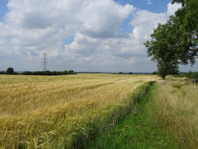
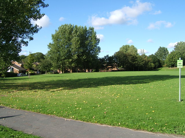
Haddock Park Wood, located in Lancashire, is a picturesque woodland area that spans across a vast area of approximately 100 acres. This woodland, often referred to as Haddock Park Forest, is a popular destination for nature enthusiasts and outdoor adventurers.

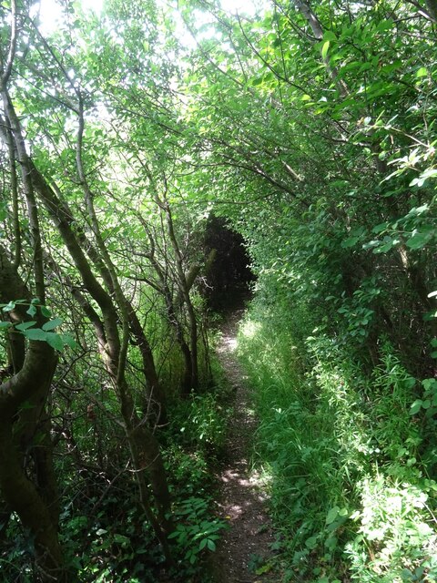
The wood is primarily composed of an array of tree species, including oak, beech, and birch, creating a diverse and vibrant ecosystem. The dense foliage and tall trees provide ample shade, making it a perfect spot for a leisurely stroll on a hot summer's day. The forest floor is covered in a thick carpet of moss and ferns, adding to the enchanting atmosphere.

Haddock Park Wood is home to a variety of wildlife, making it a great location for birdwatching and animal spotting. Visitors may catch glimpses of native birds such as woodpeckers, owls, and thrushes, as well as small mammals like foxes, rabbits, and squirrels. The wood is also known for its rich insect population, with butterflies and dragonflies often seen fluttering about.

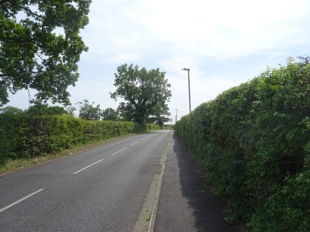
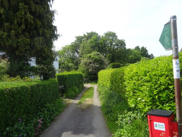
The woodland is crisscrossed with a network of well-maintained footpaths, allowing visitors to explore its natural beauty. There are also several picnic areas and benches strategically placed throughout the forest, offering a tranquil setting for relaxation and enjoying a packed lunch.

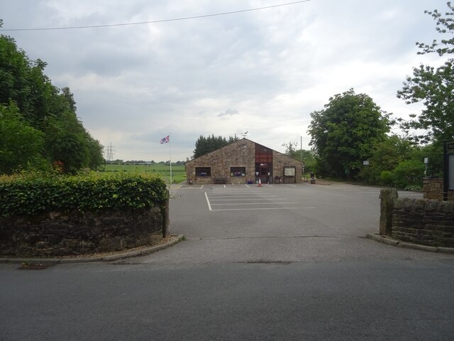
Haddock Park Wood is easily accessible, with ample parking available nearby. It is a popular destination for families, nature lovers, and walkers alike, offering a peaceful retreat from the hustle and bustle of everyday life.

If you have any feedback on the listing, please let us know in the comments section below.

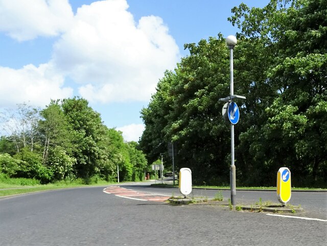
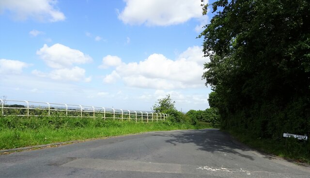
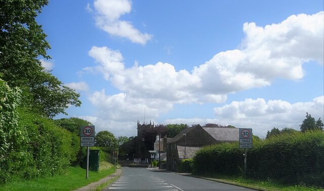
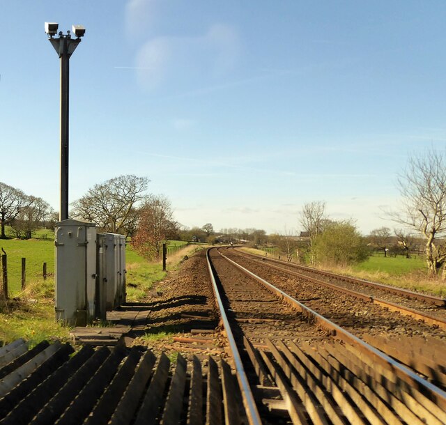
Haddock Park Wood Images

Images are sourced within 2km of 53.721714/-2.6205952 or Grid Reference SD5925. Thanks to Geograph Open Source API. All images are credited.

Clayton Brook Road At its junction with Preston Road (A6).
Clayton Brook Road
At its junction with Preston Road (A6).
Pippin Street At its junction with Sandy Lane near Thorpe Green.
Pippin Street
At its junction with Sandy Lane near Thorpe Green.
Approaching Brindle The church is St. James' and the pub to the right of the church tower is The Cavendish Arms.
Approaching Brindle
The church is St. James' and the pub to the right of the church tower is The Cavendish Arms.
Level crossing On Gregson Lane.
Level crossing
On Gregson Lane.
Railway tracks From a level crossing at Gregson Lane.
Railway tracks
From a level crossing at Gregson Lane.
Gregson Lane A small village near Preston.
Gregson Lane
A small village near Preston.
Daub Hall Lane Near its junction with Bells Lane.
Daub Hall Lane
Near its junction with Bells Lane.
Fields near Brindle At this point, the track leading from Brindle heads eastwards towards the bridge spanning the M65 motorway.
Fields near Brindle
At this point, the track leading from Brindle heads eastwards towards the bridge spanning the M65 motorway.
Brindle Community Hall Lovely setting for a building of this ilk, for the use of the local community.
Brindle Community Hall
Lovely setting for a building of this ilk, for the use of the local community.
Daub Hall Lane Looking south along Daub Hall Lane east of the grounds of Blackbrook Hall.
Daub Hall Lane
Looking south along Daub Hall Lane east of the grounds of Blackbrook Hall.
Four Lane Ends, Gregson Lane The intersection of Gregson Lane, Bank Head Lane and Daub Hall Lane in the heart of the village taking its name from the former.
Four Lane Ends, Gregson Lane
The intersection of Gregson Lane, Bank Head Lane and Daub Hall Lane in the heart of the village taking its name from the former.
Four Winds, Gregson Lane The whitewashed cottage of Four Winds on Bank Head Lane in Gregson Lane. The path towards Higher Walton heads off to the west at this juncture, with the signpost in the foreground indicating access to Four Winds and Drumhead Cottage.
Four Winds, Gregson Lane
The whitewashed cottage of Four Winds on Bank Head Lane in Gregson Lane. The path towards Higher Walton heads off to the west at this juncture, with the signpost in the foreground indicating access to Four Winds and Drumhead Cottage.
Access to Drumhead Cottage This track provides access to Drumhead Cottage off Bank Head Lane, as well as the path towards Higher Walton.
Access to Drumhead Cottage
This track provides access to Drumhead Cottage off Bank Head Lane, as well as the path towards Higher Walton.
Path above Drum Head Brook This particular path is rather enchanting - though it can be quite tricky to navigate the limbs of the surrounding vegetation during the summer months!
Path above Drum Head Brook
This particular path is rather enchanting - though it can be quite tricky to navigate the limbs of the surrounding vegetation during the summer months!
Mintholme Crossing on Gregson Lane, Brindle A level crossing over the East Lancashire Railway on Gregson Lane in Brindle, not far from the village which takes its name from the lane.
Mintholme Crossing on Gregson Lane, Brindle
A level crossing over the East Lancashire Railway on Gregson Lane in Brindle, not far from the village which takes its name from the lane.
Bah humbug! A plaque memorialising an event during World War II when a V1 Flying Bomb - a "doodlebug" - landed close to Hewn Gate Farm in Gregson Lane.
Santa pleaded not guilty.
Bah humbug!
A plaque memorialising an event during World War II when a V1 Flying Bomb - a "doodlebug" - landed close to Hewn Gate Farm in Gregson Lane. Santa pleaded not guilty.
Prospect Cottage & Trinity Methodist Church, Gregson Lane An impressive old domicile, Prospect Cottage, and Trinity Methodist Church at the southeastern end of Gregson Lane.
Prospect Cottage & Trinity Methodist Church, Gregson Lane
An impressive old domicile, Prospect Cottage, and Trinity Methodist Church at the southeastern end of Gregson Lane.
The Black Horse, Gregson Lane Impressive public house seeks new landlord or landlady.
The Black Horse, Gregson Lane
Impressive public house seeks new landlord or landlady.
Show me another place!

Haddock Park Wood is located at Grid Ref: SD5925 (Lat: 53.721714, Lng: -2.6205952)

Administrative County: Lancashire

District: Chorley

Police Authority: Lancashire

What 3 Words

///hammocks.perfumed.botanists. Near Clayton-le-Woods, Lancashire

Related Wikis

Brindle, Lancashire

Brindle is a small village and civil parish of the borough of Chorley, Lancashire, England. The population of the civil parish at the 2011 census was...

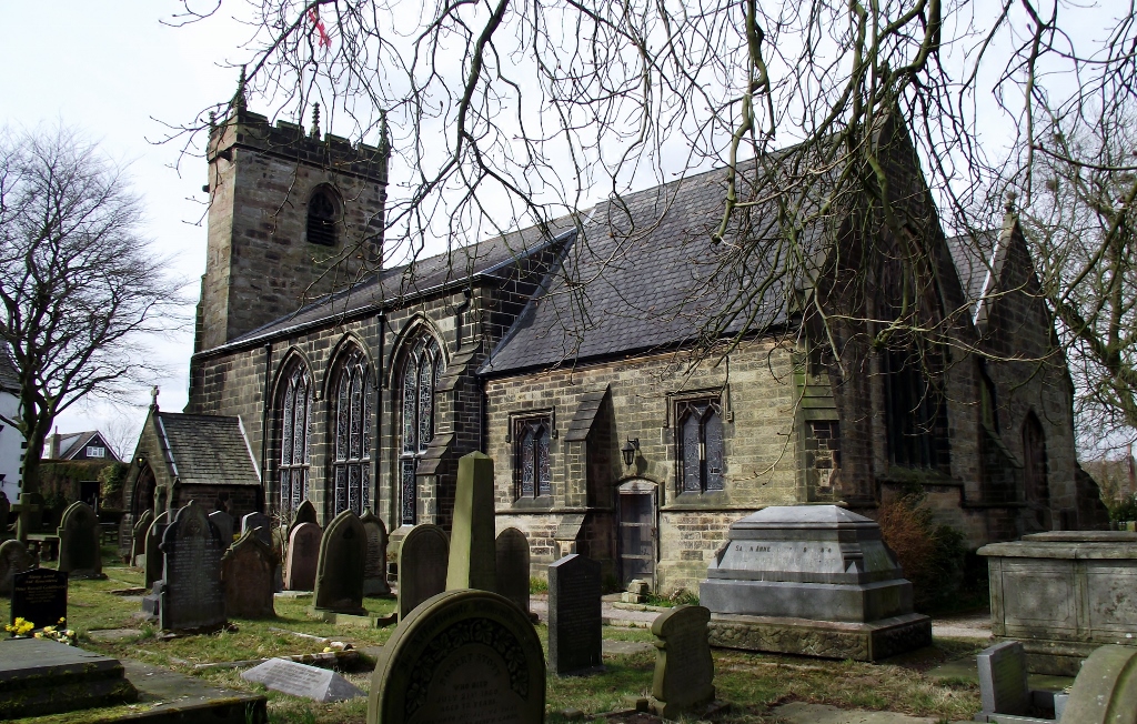
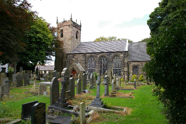
St James' Church, Brindle

St James' Church is in the village of Brindle, Lancashire, England. It is an active Anglican parish church in the deanery of Chorley, the archdeaconry...

Gregson Lane

Gregson Lane is a village in Lancashire, England. It is situated between Bamber Bridge, Higher Walton, Coupe Green and Brindle, and is within four miles...

Walton Summit

Walton Summit is an industrial area between Clayton Brook and Bamber Bridge, near Preston in Lancashire, England. It is in the South Ribble district. It...

Clayton Brook

Clayton Brook is a large residential estate in Lancashire, between the city of Preston and the town of Chorley. It forms part of the Clayton-le-Woods civil...

Central Lancashire

Central Lancashire is an area of Lancashire, England. == Central Lancashire New Town == Central Lancashire New Town was the largest of the post-war English...

Coupe Green

Coupe Green or Coup Green is a village in Lancashire, England. It is located on the A675 between Higher Walton and Hoghton. The village is in the borough...

Hoghton railway station

Hoghton railway station was a railway station in Lancashire that served the village of Hoghton. It was situated on the East Lancashire Line between Preston...

Nearby Amenities

Located within 500m of 53.721714,-2.6205952
Motorway Junction
Clayton Brook Interchange
Maxspeed: 70 mph
Ref: 2
Lat/Long: 53.7182976/-2.6195316
Design: three-level
Line Attachment: suspension
Material: steel
Operator: National Grid
Operator Wikidata: Q1465461
Power: tower
Ref: ZQ156
Start Date: 1957
Lat/Long: 53.7174437/-2.6199566
Gorton Brook Farm
Addr City: Chorley
Addr Postcode: PR6 8ND
Addr Street: Pippin Street
Addr Subdistrict: Brindle
Place: farm
Lat/Long: 53.7172823/-2.6209527
The data included in this document is from www.openstreetmap.org. The data is made available under ODbL.

Have you been to Haddock Park Wood?

Leave your review of Haddock Park Wood below (or comments, questions and feedback).