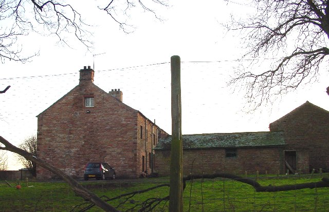
Atkinson's Plantation
Wood, Forest in Westmorland Eden
England
Atkinson's Plantation
Atkinson's Plantation is located in the parish of Westmorland, a rural area in the western part of Jamaica. This plantation, also known as Wood or Forest, is a significant historical site that played a crucial role in the island's colonial past.
Covering a vast expanse of land, Atkinson's Plantation is characterized by its dense forests, lush greenery, and fertile soil. The plantation was primarily dedicated to the cultivation of sugarcane, a highly profitable crop during the 18th and 19th centuries.
The construction of large-scale sugar mills, slave quarters, and other infrastructure on the plantation attests to its prominence during the era of plantation slavery. The slaves, mostly of African descent, endured harsh working conditions and contributed to the plantation's economic success.
In addition to sugarcane, Atkinson's Plantation also cultivated other crops such as coffee, tobacco, and various fruits and vegetables. The estate's diverse agricultural activities helped sustain the local economy and provided employment opportunities for the surrounding communities.
Today, Atkinson's Plantation stands as a testament to Jamaica's colonial history and serves as a reminder of the exploitative practices that took place during the era of plantation slavery. The site attracts visitors interested in learning about the island's past, as well as researchers and historians studying the impact of slavery on Jamaica's social and economic development.
If you have any feedback on the listing, please let us know in the comments section below.
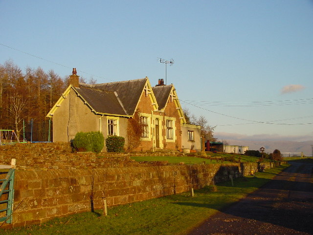
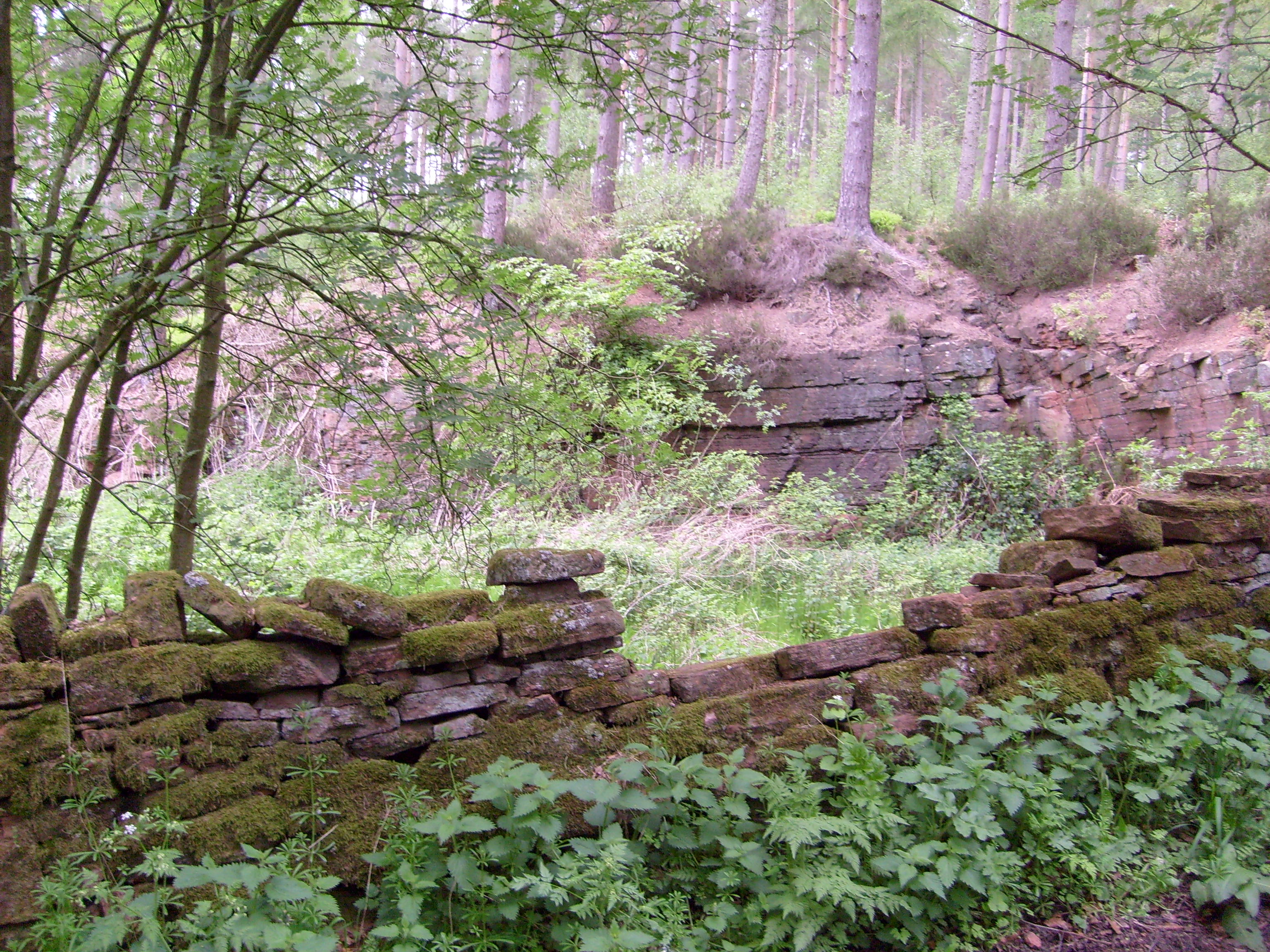
Atkinson's Plantation Images
Images are sourced within 2km of 54.64087/-2.6345499 or Grid Reference NY5927. Thanks to Geograph Open Source API. All images are credited.


Atkinson's Plantation is located at Grid Ref: NY5927 (Lat: 54.64087, Lng: -2.6345499)
Administrative County: Cumbria
District: Eden
Police Authority: Cumbria
What 3 Words
///micro.tolls.comment. Near Penrith, Cumbria
Nearby Locations
Related Wikis
Cliburn railway station
Cliburn railway station was a station situated on the Eden Valley Railway in Westmorland (now in Cumbria), England. It served the village of Cliburn to...
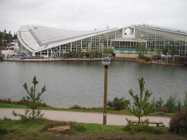
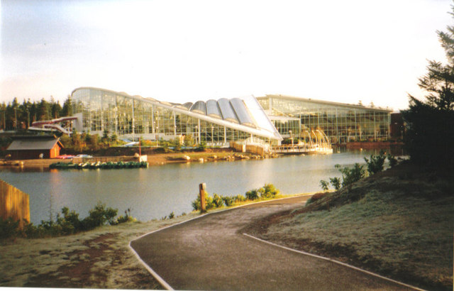
Whinfell Forest
Whinfell Forest is a small area of woodland in the parish of Brougham, Cumbria, south east of Penrith in Cumbria and just off the A66 road leading to Appleby...

Temple Sowerby
Temple Sowerby is a village and civil parish in Cumbria, northern England. It is close to the main east–west A66 road about 8 miles (13 km) east of Penrith...

River Lyvennet
The River Lyvennet is a river flowing through the county of Cumbria in England. The source of the Lyvennet (as Lyvennet Beck) is to be found close to Robin...

Cliburn Moss
Cliburn Moss is a national nature reserve located northwest of the village of Cliburn, in the county of Cumbria, England. It contains wetland habitats...

Culgaith railway station
Culgaith railway station served the village of Culgaith in Cumberland (now in Cumbria), England. == History == The Settle-Carlisle Line is open however...
RAF Hornby Hall
RAF Hornby Hall was a Royal Air Force satellite landing ground located near Brougham, 4 miles (6.4 km) east of Penrith, Cumbria and 8.8 miles (14.2 km...
Temple Sowerby railway station
Temple Sowerby railway station was a railway station situated on the Eden Valley Railway between Penrith and Kirkby Stephen East. It served the village...
Nearby Amenities
Located within 500m of 54.64087,-2.6345499Have you been to Atkinson's Plantation?
Leave your review of Atkinson's Plantation below (or comments, questions and feedback).