Clementstump Inclosure
Wood, Forest in Gloucestershire Forest of Dean
England
Clementstump Inclosure
Clementstump Inclosure is a woodland area located in Gloucestershire, England. It is situated within the larger Forest of Dean, a picturesque and historic forest that covers an area of approximately 42 square miles. Clementstump Inclosure itself spans over 500 acres of this forest.
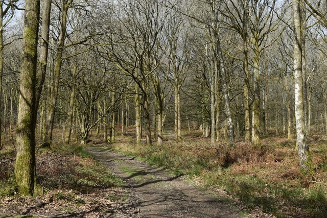
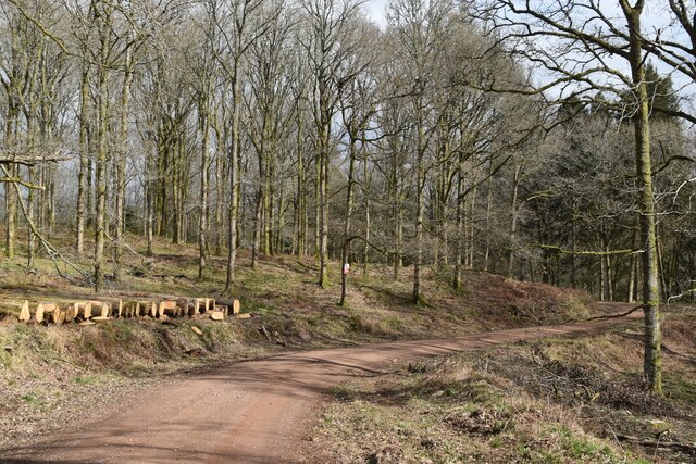
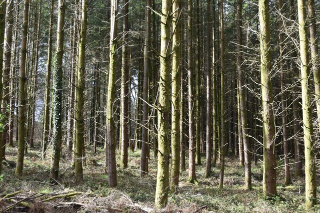
The woodland is predominantly made up of native broadleaf trees, including oak, beech, and ash, which create a diverse and vibrant ecosystem. The canopy is dense, providing shade and shelter for a variety of wildlife species, including birds, mammals, and insects. The forest floor is covered in a rich carpet of ferns, mosses, and wildflowers, adding to the natural beauty of the area.
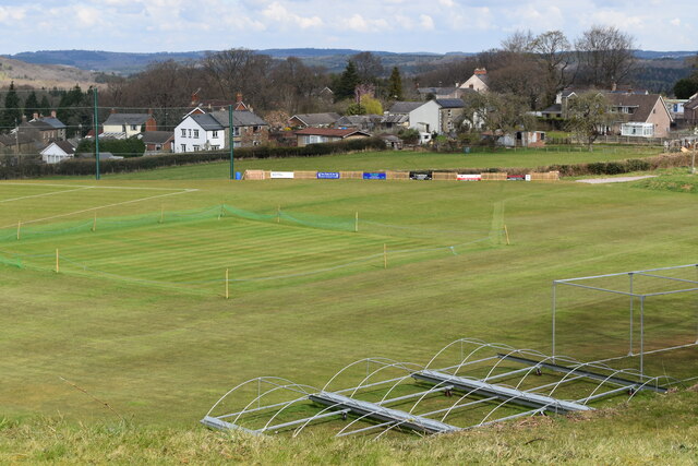
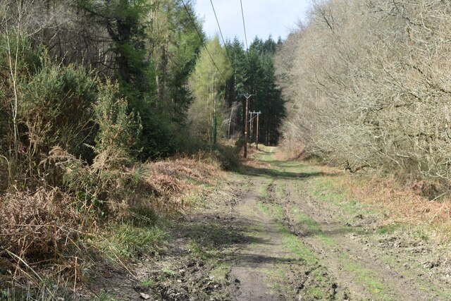
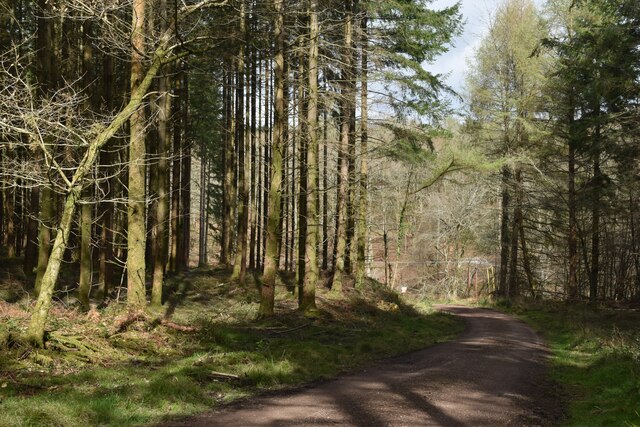
Clementstump Inclosure is a popular destination for nature enthusiasts, hikers, and photographers. The peaceful and tranquil atmosphere, combined with the stunning natural surroundings, make it an ideal place for walking and exploring. There are several well-marked trails that visitors can follow, allowing them to discover the hidden gems of the woodland.
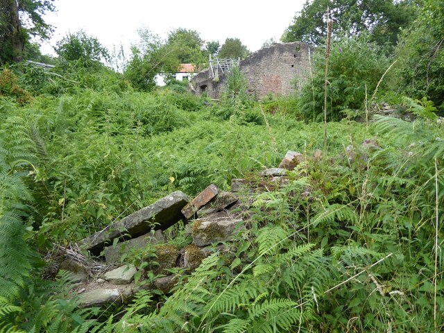
The inclosure also holds historical significance, with evidence of human activity dating back centuries. Remnants of old charcoal kilns and iron mines can be found within the woodland, serving as reminders of the area's industrial past. Additionally, there are several ancient trees in Clementstump Inclosure, some of which are estimated to be over 500 years old.
Overall, Clementstump Inclosure offers a unique opportunity to experience the beauty of a traditional English woodland, with its diverse flora and fauna, historical features, and peaceful ambiance.
If you have any feedback on the listing, please let us know in the comments section below.
Clementstump Inclosure Images
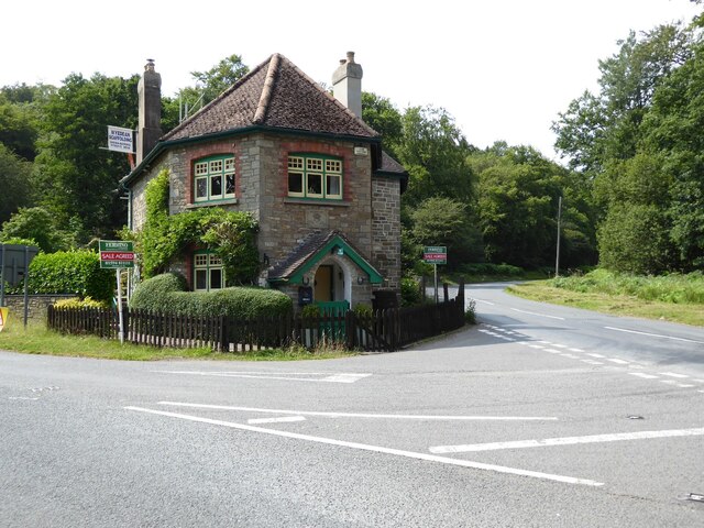
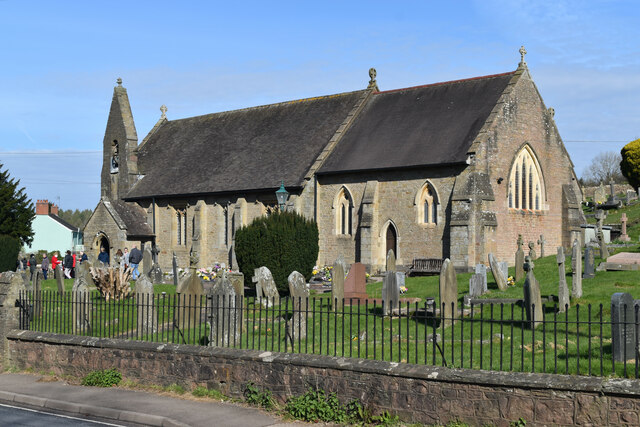
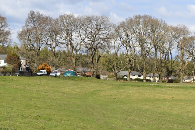
Images are sourced within 2km of 51.761434/-2.5917667 or Grid Reference SO5907. Thanks to Geograph Open Source API. All images are credited.


Clementstump Inclosure is located at Grid Ref: SO5907 (Lat: 51.761434, Lng: -2.5917667)
Administrative County: Gloucestershire
District: Forest of Dean
Police Authority: Gloucestershire
What 3 Words
///mobile.belly.appoints. Near Bream, Gloucestershire
Related Wikis

Ellwood, Gloucestershire
Ellwood is a hamlet in the Forest of Dean district in Gloucestershire, England. It lies around 3 kilometres (1.9 mi) south-east of Coleford. The hamlet...

Sling, Gloucestershire
Sling is a village in Gloucestershire, England. The village is located between Clearwell and Bream. It is just south of the village of Milkwall. ��2�...

Mary Rose Young
Mary Rose Young is a ceramic artist who lives and works in the Forest of Dean, Gloucestershire, in the UK. == Early life == Mary Rose Young was born near...

Darkhill Ironworks
Darkhill Ironworks, and the neighbouring Titanic Steelworks, are internationally important industrial remains associated with the development of the iron...
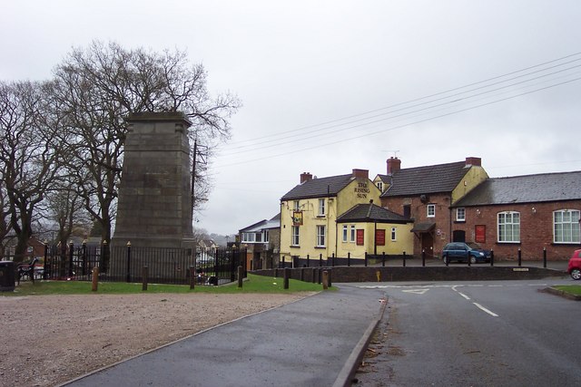
Bream, Gloucestershire
Bream (historically known as Breem) is a village in the Forest of Dean, west Gloucestershire, England. The population was around 3,170 in the 2011 census...

Milkwall
Milkwall is a village in the Forest of Dean in Gloucestershire, England. It lies between the village of Sling to the south, and the town of Coleford to...
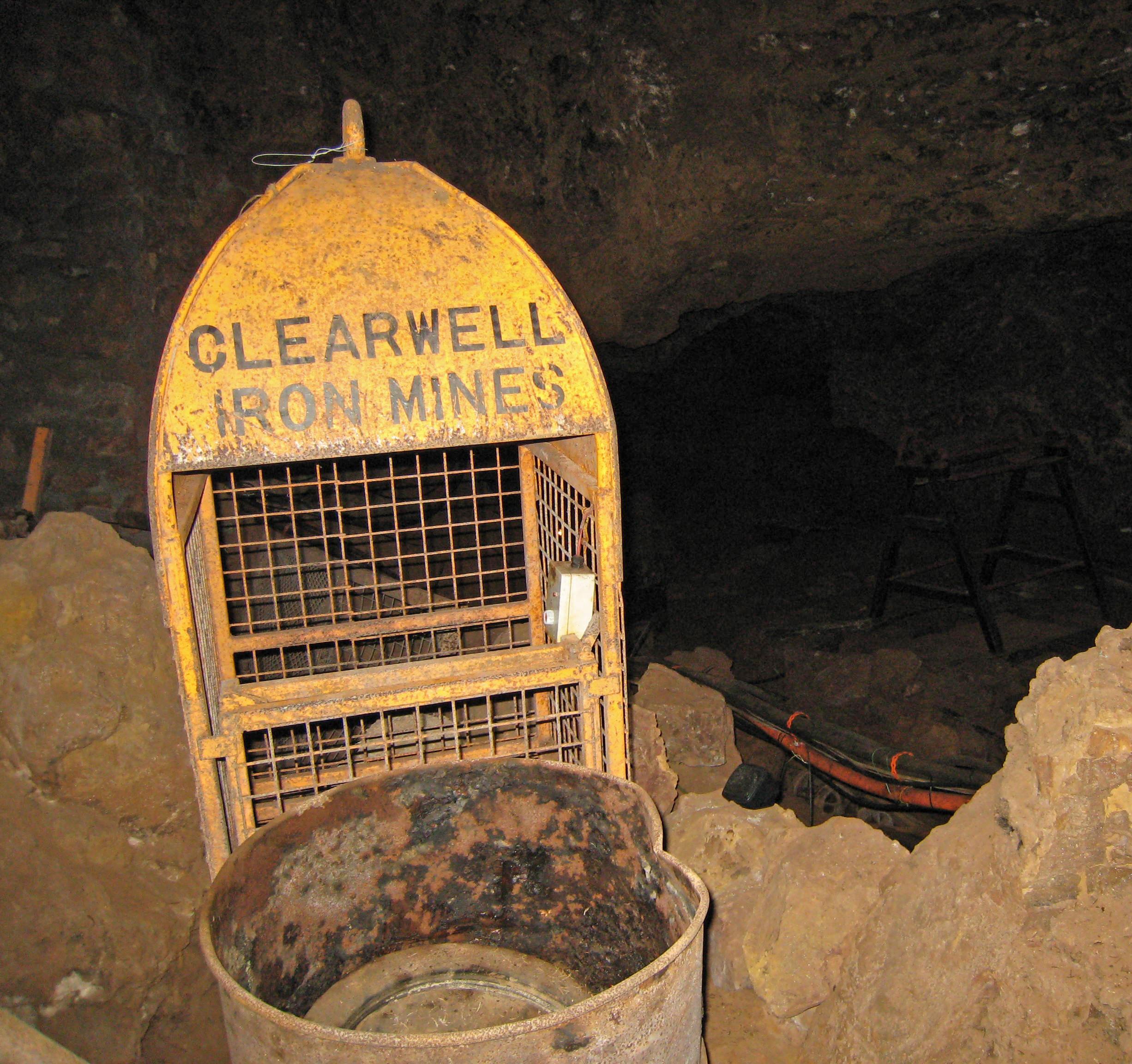
Clearwell Caves
Clearwell Caves, at Clearwell in the Forest of Dean, Gloucestershire, England, is a natural cave system which has been extensively mined for iron ore....

Nagshead
Nagshead is a woodland reserve, located on the western edge of Parkend, in the Forest of Dean, Gloucestershire, and is home to RSPB Nagshead. The site...
Nearby Amenities
Located within 500m of 51.761434,-2.5917667Have you been to Clementstump Inclosure?
Leave your review of Clementstump Inclosure below (or comments, questions and feedback).