Stone Hills Withy Bed
Wood, Forest in Dorset
England
Stone Hills Withy Bed
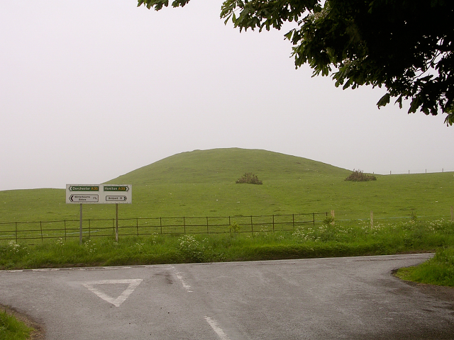
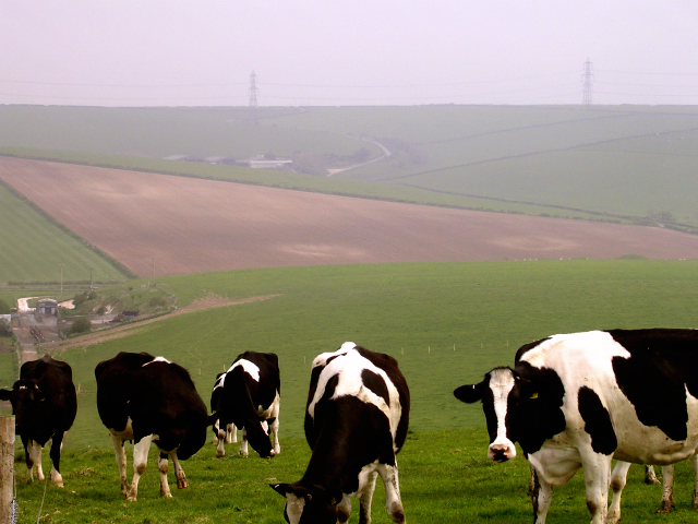
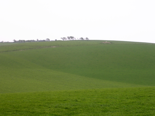
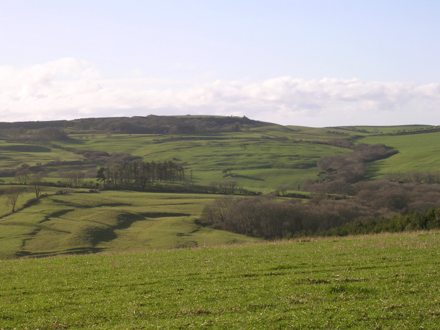
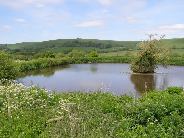
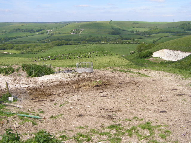
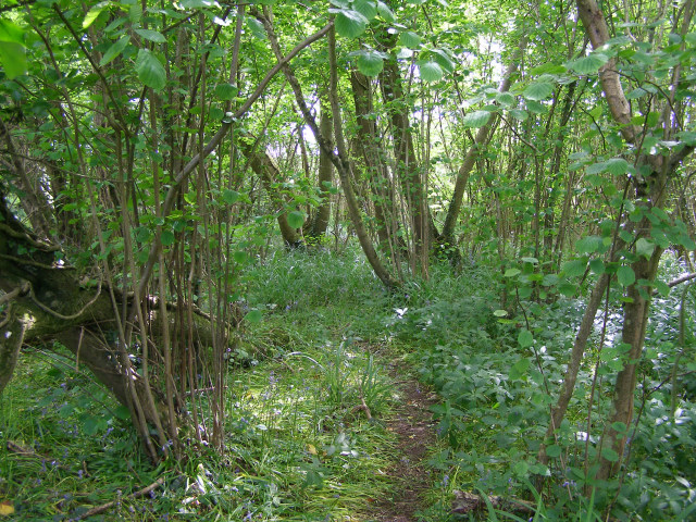
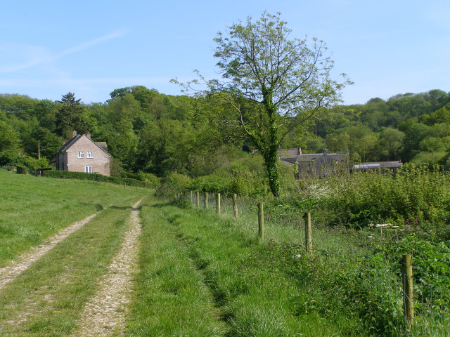
Stone Hills Withy Bed is a captivating woodland located in the county of Dorset, England. Covering an area of approximately 100 acres, it is nestled within the lush landscape of the Dorset Area of Outstanding Natural Beauty. This enchanting woodland is renowned for its abundant withy beds, which are areas where willow trees are cultivated for their flexible branches, commonly used in basket weaving.
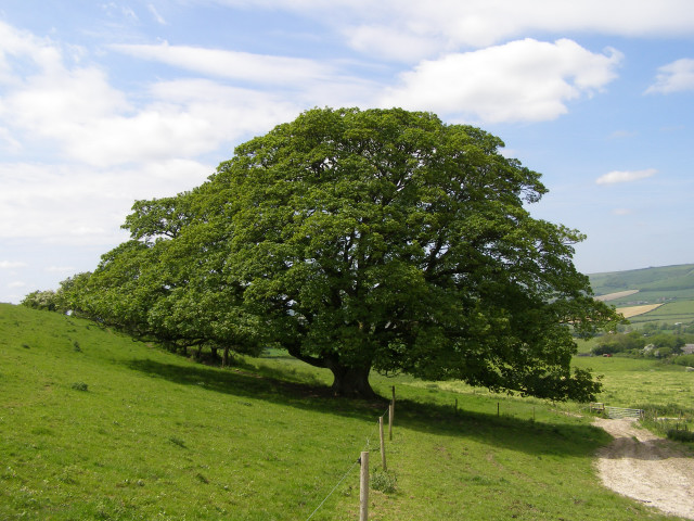
The woodland is characterized by its diverse array of tree species, including majestic oak, beech, and ash trees. These towering giants create a dense canopy, casting dappled sunlight onto the forest floor below. The woodland is also home to a variety of wildlife, making it a haven for nature enthusiasts. Birdwatchers will delight in spotting species such as the great spotted woodpecker, tawny owl, and various songbirds.
Scenic footpaths wind their way through Stone Hills Withy Bed, allowing visitors to explore and immerse themselves in the natural beauty of the area. The tranquil atmosphere and peaceful surroundings make it an ideal location for leisurely walks, picnics, and photography.
Stone Hills Withy Bed offers a glimpse into the traditional craft of basket weaving, as workshops and demonstrations are occasionally held in the area. Visitors have the opportunity to witness skilled artisans at work, creating intricate baskets and other woven products.
Overall, Stone Hills Withy Bed in Dorset is a captivating woodland that showcases the beauty of nature and the traditional craft of basket weaving. Whether it's for a leisurely stroll, wildlife spotting, or a chance to learn about the ancient art of basketry, this woodland is a must-visit destination for nature enthusiasts and culture seekers alike.
If you have any feedback on the listing, please let us know in the comments section below.
Stone Hills Withy Bed Images
Images are sourced within 2km of 50.699628/-2.5909833 or Grid Reference SY5889. Thanks to Geograph Open Source API. All images are credited.

Stone Hills Withy Bed is located at Grid Ref: SY5889 (Lat: 50.699628, Lng: -2.5909833)
Unitary Authority: Dorset
Police Authority: Dorset
What 3 Words
///stands.melons.represent. Near Maiden Newton, Dorset
Nearby Locations
Related Wikis

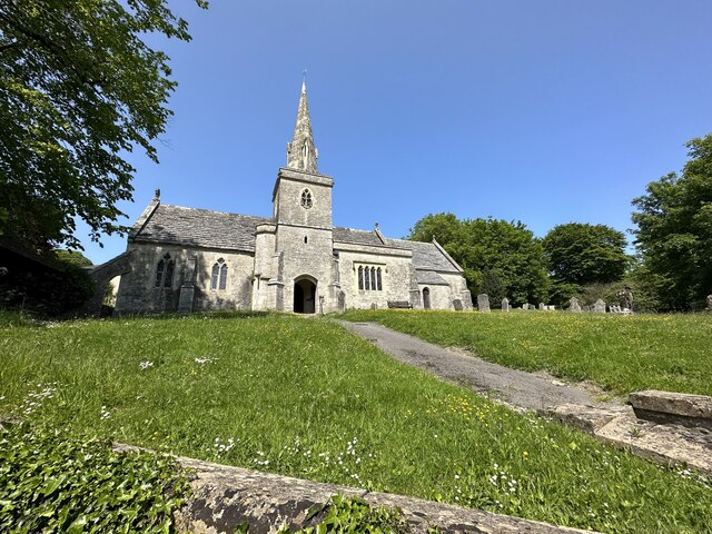
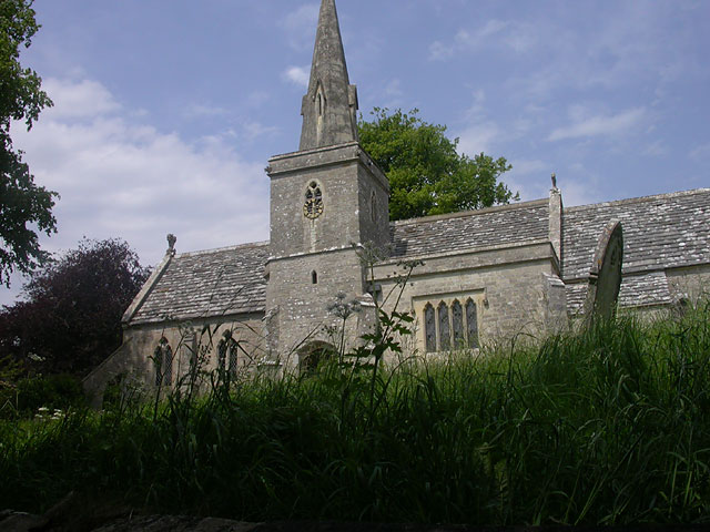
St Michael and All Angels Church, Littlebredy
St Michael and All Angels Church is a Grade II listed Anglican church in the village of Littlebredy, Dorset, England. == History == The tower dates from...
Littlebredy
Littlebredy (also written Little Bredy, pronounced ) is a small village and civil parish in the English county of Dorset, situated approximately 6.5 miles...

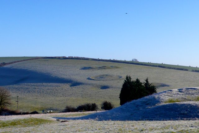
Pitcombe Down
Pitcombe Down (grid reference SY585897) is a 13.2 hectare biological Site of Special Scientific Interest in Dorset, notified in 1954. == Sources == English...

Kingston Russell House
Kingston Russell House is a large mansion house and manor near Long Bredy in Dorset, England, west of Dorchester. The present house dates from the late...

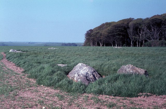
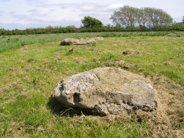
Kingston Russell Stone Circle
Kingston Russell Stone Circle, also known as the Gorwell Circle, is a stone circle located between the villages of Abbotsbury and Littlebredy in the south...

Long Bredy
Long Bredy is a village and civil parish in the county of Dorset in south-west England, situated approximately 7 miles (11 km) west of the county town...
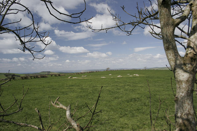
Poor Lot Barrow Cemetery
Poor Lot Barrow Cemetery is an archaeological site, a group of Bronze Age round barrows, near the A35 road about 2 miles (3.2 km) west of Winterbourne...
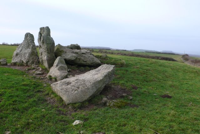
The Grey Mare and her Colts
The Grey Mare and her Colts is a megalithic chambered long barrow located near Abbotsbury in Dorset, England. It was built during the Early and Middle...
Nearby Amenities
Located within 500m of 50.699628,-2.5909833Have you been to Stone Hills Withy Bed?
Leave your review of Stone Hills Withy Bed below (or comments, questions and feedback).