Punchbowl Coppice
Wood, Forest in Dorset
England
Punchbowl Coppice
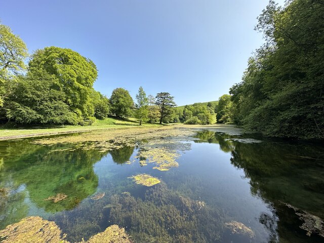
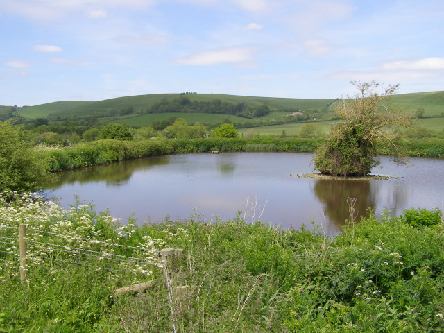
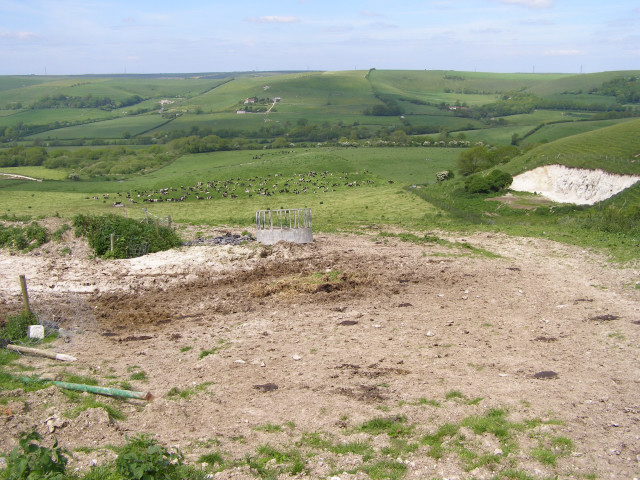
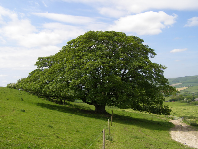
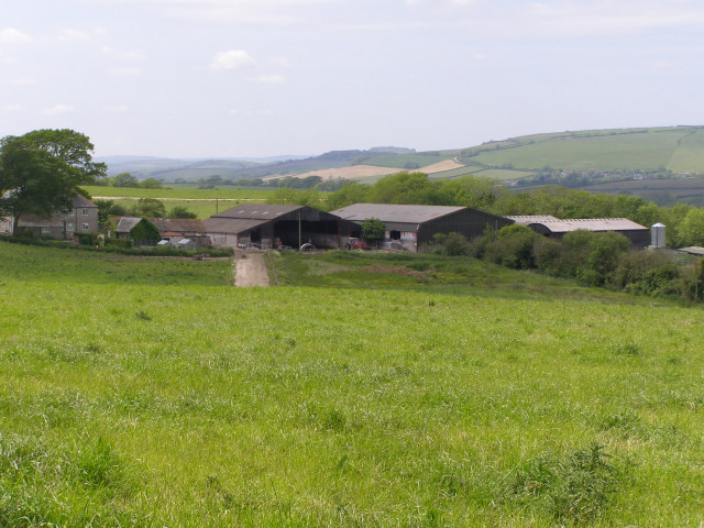
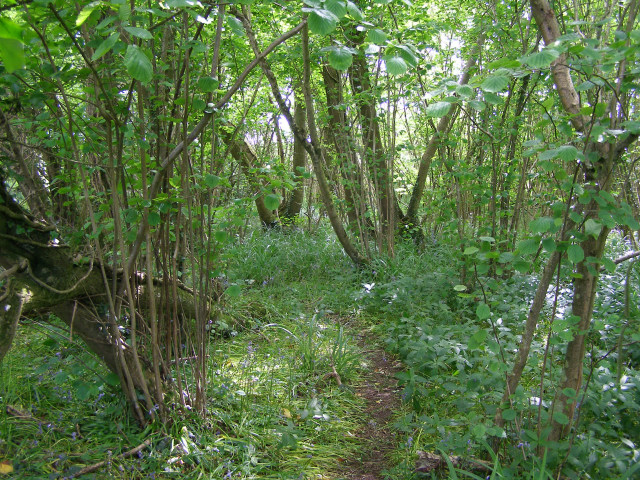
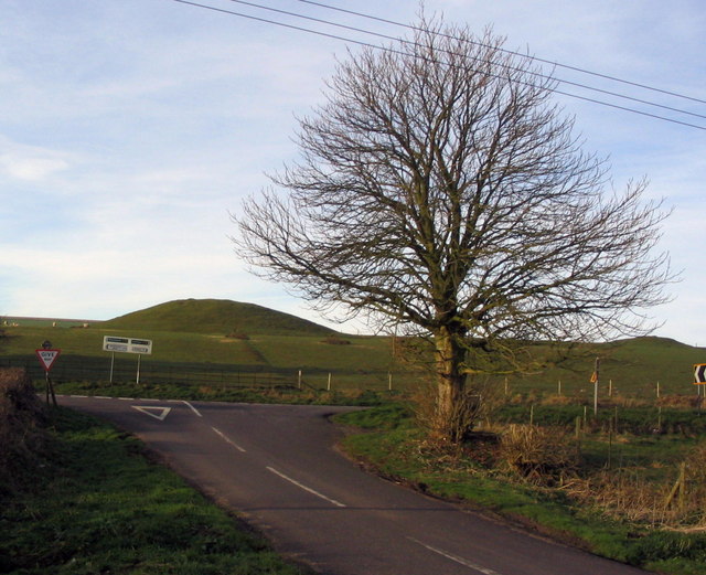
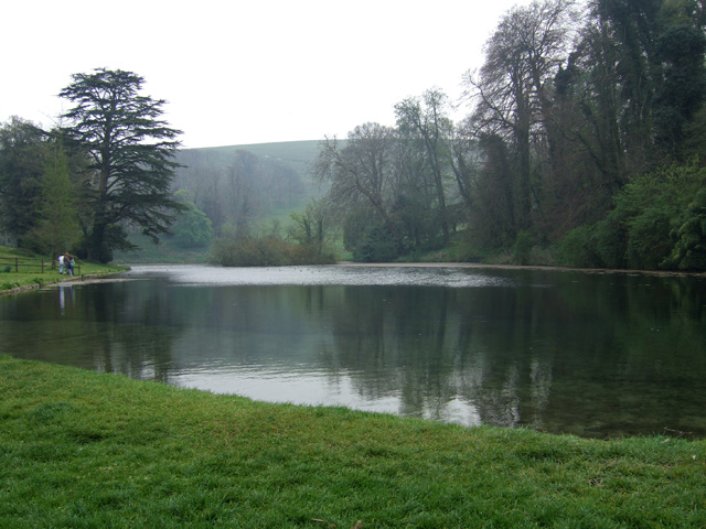
Punchbowl Coppice is a picturesque woodland located in the enchanting county of Dorset, England. Nestled within the larger expanse of the Cranborne Chase Area of Outstanding Natural Beauty, this captivating forest covers an area of approximately 100 acres.
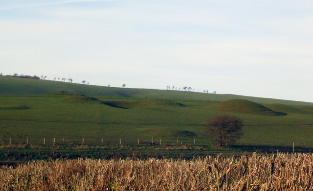
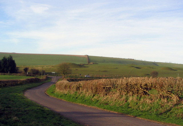
As its name suggests, Punchbowl Coppice is situated within a natural bowl-shaped depression, creating a unique and idyllic setting. The woodland is predominantly composed of native broadleaf trees, including oak, beech, and ash, which create a lush and vibrant canopy overhead, providing a haven for an array of flora and fauna.
Walking through Punchbowl Coppice is a truly immersive experience, with a network of well-maintained trails and footpaths winding their way through the forest. Visitors can expect to encounter an abundance of wildflowers, ferns, and mosses carpeting the forest floor, adding to its ethereal charm. The dappled sunlight filtering through the tree canopy creates a delightful play of light and shadow, further enhancing the serene atmosphere.
The forest is home to a diverse range of wildlife, including numerous bird species such as woodpeckers, owls, and warblers. Mammals such as deer, foxes, and badgers also find sanctuary within the boundaries of Punchbowl Coppice.
With its tranquil ambience and natural beauty, Punchbowl Coppice is a popular destination for nature enthusiasts, photographers, and those seeking solace in the great outdoors. The forest offers a peaceful escape from the hustle and bustle of everyday life and provides ample opportunities for walking, birdwatching, and simply immersing oneself in the wonders of nature.
If you have any feedback on the listing, please let us know in the comments section below.
Punchbowl Coppice Images
Images are sourced within 2km of 50.700258/-2.5820421 or Grid Reference SY5889. Thanks to Geograph Open Source API. All images are credited.

Punchbowl Coppice is located at Grid Ref: SY5889 (Lat: 50.700258, Lng: -2.5820421)
Unitary Authority: Dorset
Police Authority: Dorset
What 3 Words
///hill.operated.perch. Near Maiden Newton, Dorset
Nearby Locations
Related Wikis
Littlebredy
Littlebredy (also written Little Bredy, pronounced ) is a small village and civil parish in the English county of Dorset, situated approximately 6.5 miles...

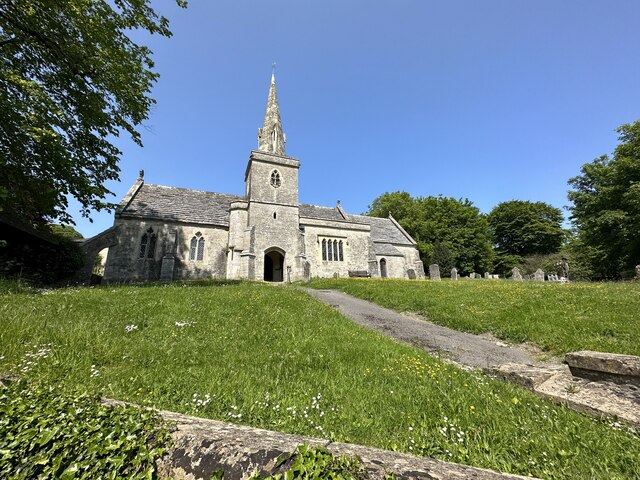
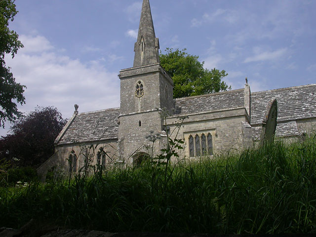
St Michael and All Angels Church, Littlebredy
St Michael and All Angels Church is a Grade II listed Anglican church in the village of Littlebredy, Dorset, England. == History == The tower dates from...

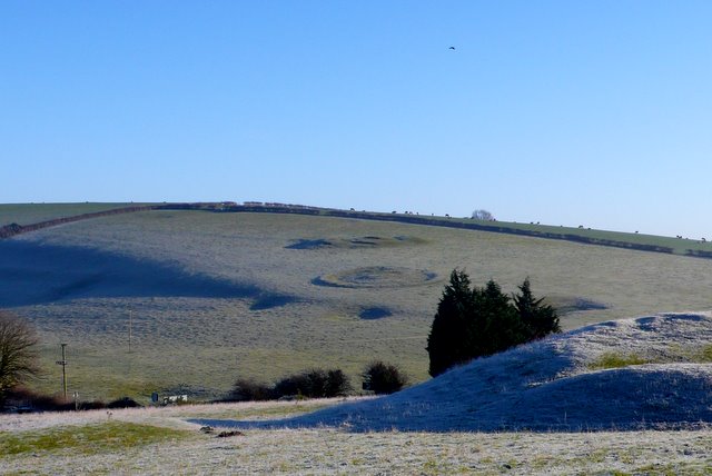
Pitcombe Down
Pitcombe Down (grid reference SY585897) is a 13.2 hectare biological Site of Special Scientific Interest in Dorset, notified in 1954. == Sources == English...
Poor Lot Barrow Cemetery
Poor Lot Barrow Cemetery is an archaeological site, a group of Bronze Age round barrows, near the A35 road about 2 miles (3.2 km) west of Winterbourne...

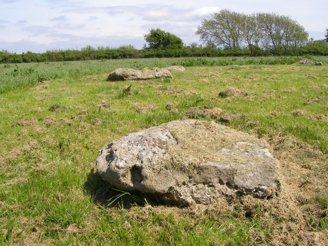
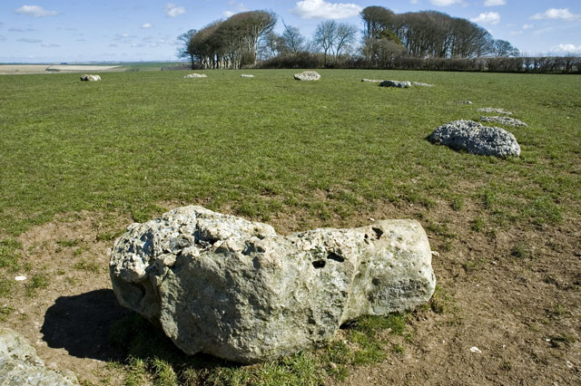
Kingston Russell Stone Circle
Kingston Russell Stone Circle, also known as the Gorwell Circle, is a stone circle located between the villages of Abbotsbury and Littlebredy in the south...

Kingston Russell House
Kingston Russell House is a large mansion house and manor near Long Bredy in Dorset, England, west of Dorchester. The present house dates from the late...
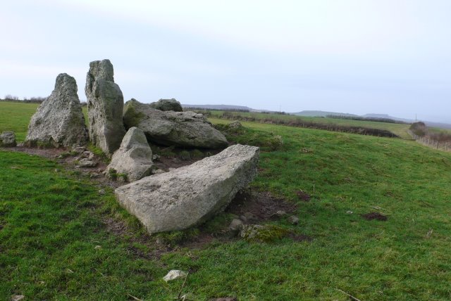
The Grey Mare and her Colts
The Grey Mare and her Colts is a megalithic chambered long barrow located near Abbotsbury in Dorset, England. It was built during the Early and Middle...

Long Bredy
Long Bredy is a village and civil parish in the county of Dorset in south-west England, situated approximately 7 miles (11 km) west of the county town...
Nearby Amenities
Located within 500m of 50.700258,-2.5820421Have you been to Punchbowl Coppice?
Leave your review of Punchbowl Coppice below (or comments, questions and feedback).