Foster's Wood

Wood, Forest in Lancashire Wyre

England

Foster's Wood

On Holme House Fell From the steep cloughs in the north eastern corner of the square looking towards Fair Snape Fell. Should be last picture for Hectad SD54.
On Holme House Fell Credit: Michael Graham

Foster's Wood is a stunning woodland located in Lancashire, England. Covering an area of approximately 100 hectares, it is a popular destination for nature lovers, hikers, and outdoor enthusiasts. The wood is named after the Foster family, who once owned the land and played a significant role in its preservation and maintenance.

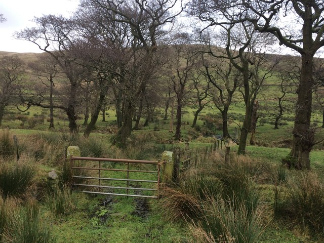
The woodland boasts a diverse range of tree species, including oak, beech, and birch. These towering trees create a dense canopy, casting dappled sunlight on the forest floor. The ground is covered in a thick carpet of moss, ferns, and wildflowers, adding to the enchanting atmosphere of the wood.

Foster's Wood is home to a variety of wildlife, making it a haven for nature enthusiasts. Visitors can spot a plethora of bird species, such as woodpeckers, owls, and thrushes. Squirrels and rabbits can often be seen darting between the trees, while deer occasionally make an appearance during quieter times of the day.

There are several well-maintained trails that wind their way through the wood, offering visitors the opportunity to explore its natural beauty. These paths cater to different levels of difficulty, accommodating both casual strollers and more experienced hikers. Along the way, informative signposts provide interesting facts about the wood's flora and fauna, enhancing the educational experience.

Foster's Wood also offers picnic areas and benches, providing a perfect spot for visitors to relax and immerse themselves in the tranquil surroundings. The wood is open throughout the year, allowing visitors to experience its ever-changing beauty in each season.

Overall, Foster's Wood is a captivating and idyllic woodland that offers a peaceful retreat for nature lovers and a chance to reconnect with the natural world.

If you have any feedback on the listing, please let us know in the comments section below.

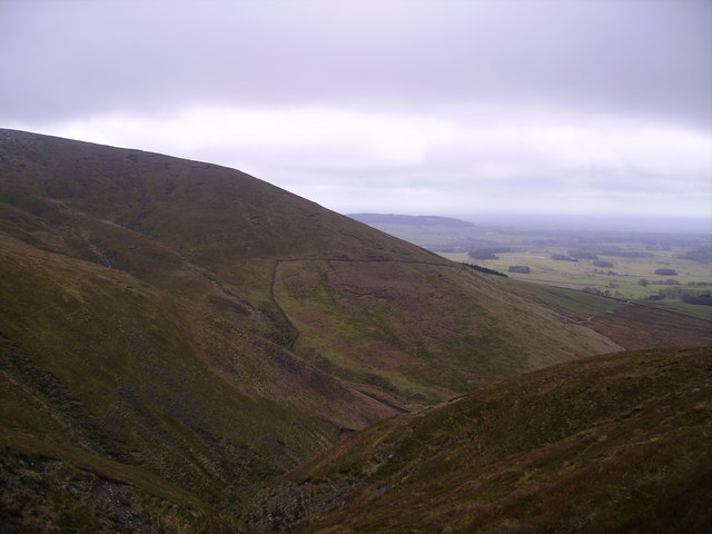
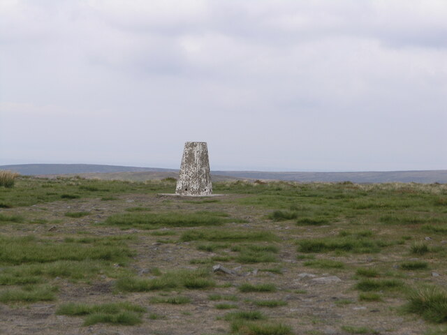
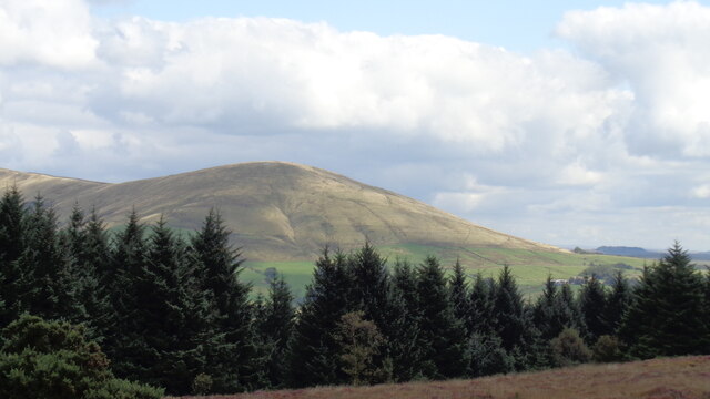
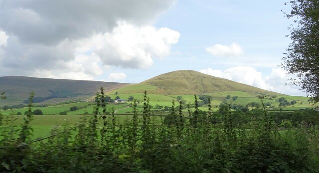
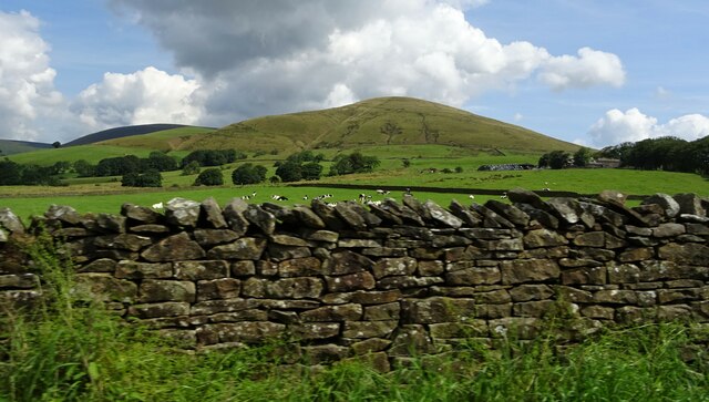
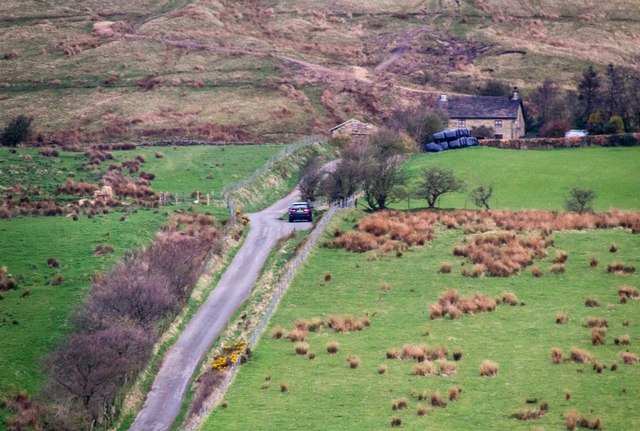
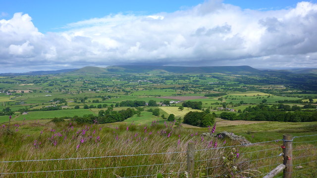
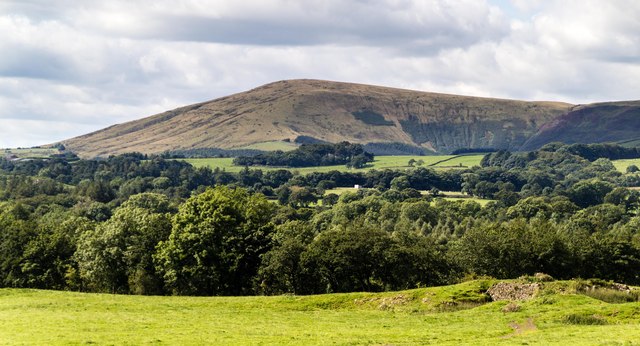
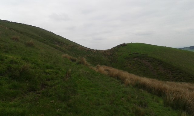
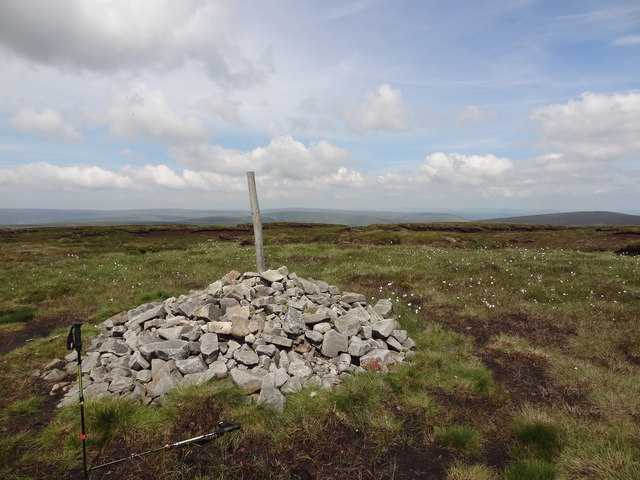
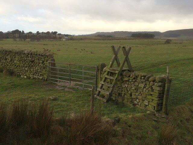
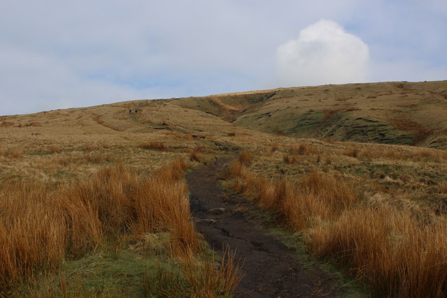
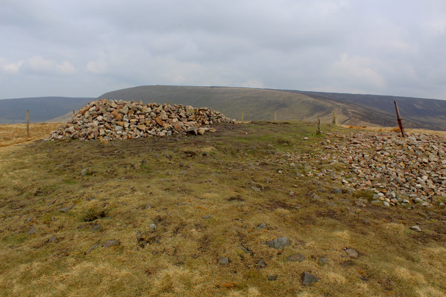
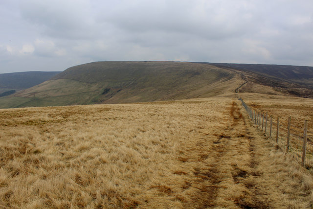
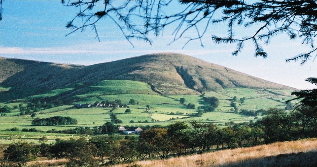
Foster's Wood Images

Images are sourced within 2km of 53.908082/-2.6257456 or Grid Reference SD5845. Thanks to Geograph Open Source API. All images are credited.

On Holme House Fell From the steep cloughs in the north eastern corner of the square looking towards Fair Snape Fell. Should be last picture for Hectad SD54.
On Holme House Fell
From the steep cloughs in the north eastern corner of the square looking towards Fair Snape Fell. Should be last picture for Hectad SD54.
Fair Snape Fell trig
Blindhurst Fell View from Beacon Fell Country Park
Blindhurst Fell
View from Beacon Fell Country Park
Parlick Hill At the south of the main range of the Bowland Fells.
Parlick Hill
At the south of the main range of the Bowland Fells.
Cattle grazing under Parlick At Higher Core farm.
Cattle grazing under Parlick
At Higher Core farm.
Fell Foot View of Fell Foot .
Fell Foot
View of Fell Foot .
From Longridge Fell to Chipping and Fells Beyond
Parlick View of Parlick seen from Higher Lees.
Parlick
View of Parlick seen from Higher Lees.
Possible Glacial Overflow Channel on Parlick This dip in the side of Parlick has the makings of a gouge made by an ice flow or subglacial water flow; its smoothness detracts from its being man made.
Possible Glacial Overflow Channel on Parlick
This dip in the side of Parlick has the makings of a gouge made by an ice flow or subglacial water flow; its smoothness detracts from its being man made.
Cairn on the top With views across Bowland towards the Pennines
Cairn on the top
With views across Bowland towards the Pennines
Small wood by the infant River Brock
Stile and gate in Bleasdale
Ruined Outbuilding at Fell Foot The end of the road at Fell Foot - through the gate to the right of the building takes a stream of walkers and paragliders up the southern flanks of Parlick, straight to the summit
Ruined Outbuilding at Fell Foot
The end of the road at Fell Foot - through the gate to the right of the building takes a stream of walkers and paragliders up the southern flanks of Parlick, straight to the summit
Ascending Parlick From Fell Foot, it is a case of straight up the southern flanks to the summit, without a pause in the incline
Ascending Parlick
From Fell Foot, it is a case of straight up the southern flanks to the summit, without a pause in the incline
Summit Furniture on Parlick The summit of this south western outpost in the Bowland Fells
Summit Furniture on Parlick
The summit of this south western outpost in the Bowland Fells
Descending Northwards off Parlick towards Blindhurst Fell This is a splendid walk along a broad ridge that descends to Blindhurst Fell, before curving around to the west and the summit of Fair Snape Fell.
Views to the east encompass sections of the Bowland Fells, while on a clear day the panorama to the west includes the sparkling blue jewel of the Irish Sea.
Descending Northwards off Parlick towards Blindhurst Fell
This is a splendid walk along a broad ridge that descends to Blindhurst Fell, before curving around to the west and the summit of Fair Snape Fell. Views to the east encompass sections of the Bowland Fells, while on a clear day the panorama to the west includes the sparkling blue jewel of the Irish Sea.
North Face of Parlick Ascending from Blindhurst Fell
North Face of Parlick
Ascending from Blindhurst Fell
View from Nick's Chair Paragliding appears to be the favoured recreation in these parts - that explains the capacious rucksacks that are prevalent on many individuals' backs.
View from Nick's Chair
Paragliding appears to be the favoured recreation in these parts - that explains the capacious rucksacks that are prevalent on many individuals' backs.
Show me another place!

Foster's Wood is located at Grid Ref: SD5845 (Lat: 53.908082, Lng: -2.6257456)

Administrative County: Lancashire

District: Wyre

Police Authority: Lancashire

What 3 Words

///impulses.fetching.detection. Near Longridge, Lancashire

Nearby Locations

Foster's Wood

Related Wikis

Parlick

Parlick (also known as Parlick Pike) is an approximately cone-shaped steep-sided hill at the extreme south of the main range of Bowland fells in Lancashire...

Bleasdale

Bleasdale is a village and civil parish in the Wyre district of Lancashire, England, in the Forest of Bowland Area of Outstanding Natural Beauty. The two...

Bowland Forest Gliding Club

Bowland Forest Gliding Club is a British gliding club near the village of Chipping, Lancashire. It was formed as the Blackpool and Fylde Gliding Club in...

Beacon Fell, Lancashire

Beacon Fell is a fell in the civil parish of Goosnargh in Lancashire, England. The high ground, which rises to 266 m (873 ft), has been a country park...

Nearby Amenities

Located within 500m of 53.908082,-2.6257456
Barrier: stile
Lat/Long: 53.909176/-2.6320945
The data included in this document is from www.openstreetmap.org. The data is made available under ODbL.

Have you been to Foster's Wood?

Leave your review of Foster's Wood below (or comments, questions and feedback).