Littlebredy
Settlement in Dorset
England
Littlebredy
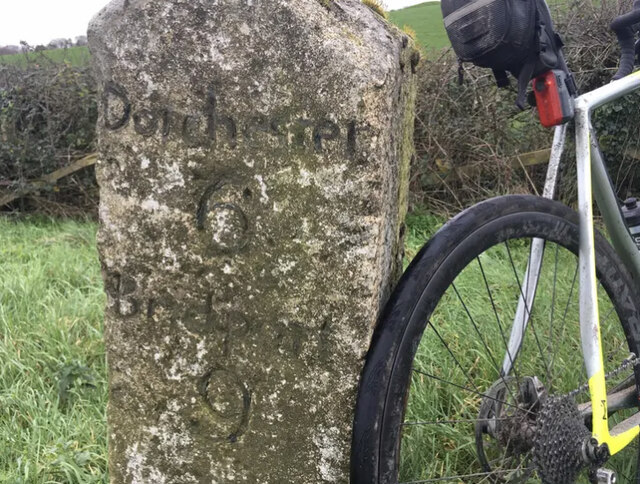
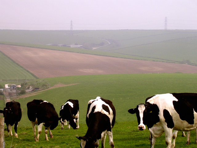
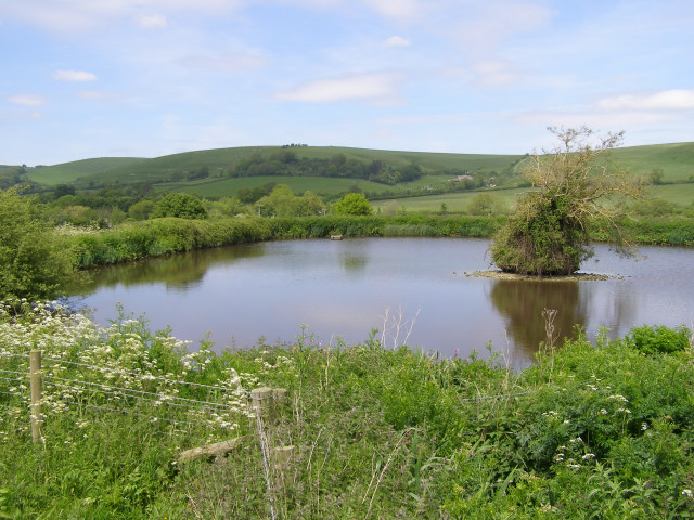
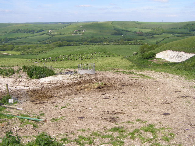
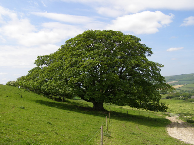
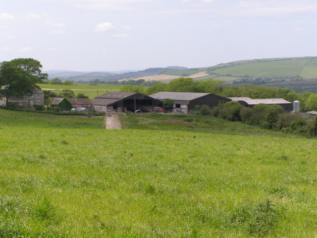
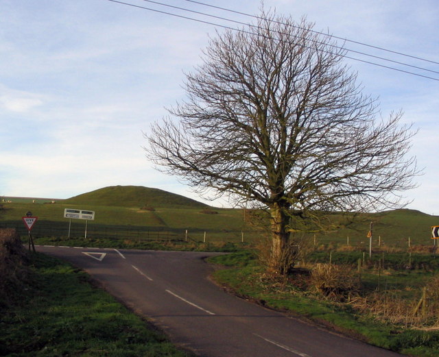
Littlebredy is a small village located in the county of Dorset, England. Situated approximately five miles northwest of the town of Dorchester, it lies within the picturesque Bride Valley. The village is nestled in a valley surrounded by rolling hills, offering breathtaking views of the English countryside.
Despite its small size, Littlebredy boasts a rich history dating back to the Saxon era. The village is mentioned in the Domesday Book of 1086, which indicates its significance even during medieval times. Today, Littlebredy retains its traditional charm, with a collection of quaint thatched cottages and historic buildings that reflect its past.
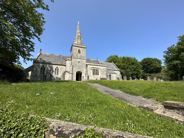
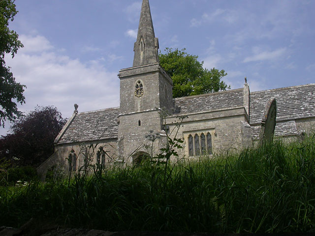
The heart of the village is St. Michael and All Angels Church, a Grade I listed building that dates back to the 13th century. The church is renowned for its stunning architecture and beautiful stained glass windows, attracting visitors and history enthusiasts alike.
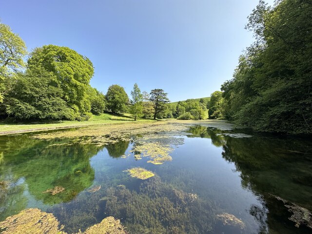
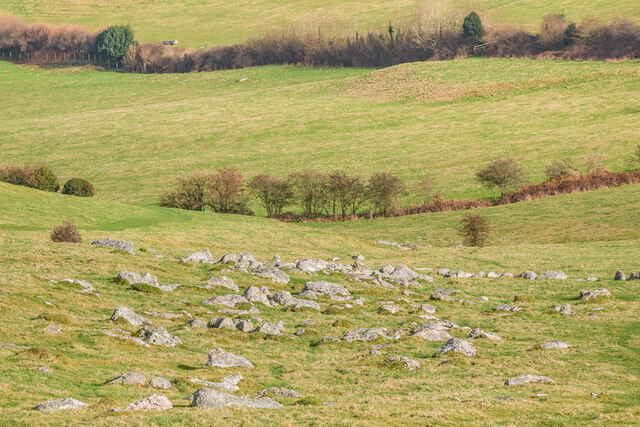
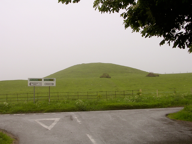
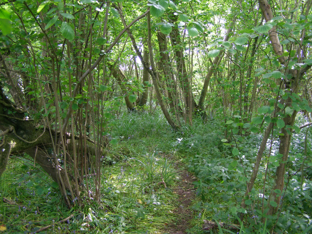
Surrounded by scenic landscapes, Littlebredy offers numerous opportunities for outdoor activities. The nearby countryside provides ample hiking and walking trails, allowing visitors to explore the natural beauty of the area. The village is also home to a charming pub, providing a cozy spot for locals and visitors to enjoy a traditional English meal or a pint of ale.
Although small in size, Littlebredy offers a peaceful and idyllic retreat for those seeking a tranquil escape in the Dorset countryside. Its rich history, stunning natural surroundings, and friendly community make it a hidden gem worth discovering.
If you have any feedback on the listing, please let us know in the comments section below.
Littlebredy Images
Images are sourced within 2km of 50.699229/-2.5826524 or Grid Reference SY5889. Thanks to Geograph Open Source API. All images are credited.

Littlebredy is located at Grid Ref: SY5889 (Lat: 50.699229, Lng: -2.5826524)
Unitary Authority: Dorset
Police Authority: Dorset
What 3 Words
///sideboard.internal.young. Near Maiden Newton, Dorset
Nearby Locations
Related Wikis
Littlebredy
Littlebredy (also written Little Bredy, pronounced ) is a small village and civil parish in the English county of Dorset, situated approximately 6.5 miles...

St Michael and All Angels Church, Littlebredy
St Michael and All Angels Church is a Grade II listed Anglican church in the village of Littlebredy, Dorset, England. == History == The tower dates from...

Pitcombe Down
Pitcombe Down (grid reference SY585897) is a 13.2 hectare biological Site of Special Scientific Interest in Dorset, notified in 1954. == Sources == English...

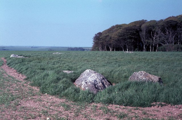
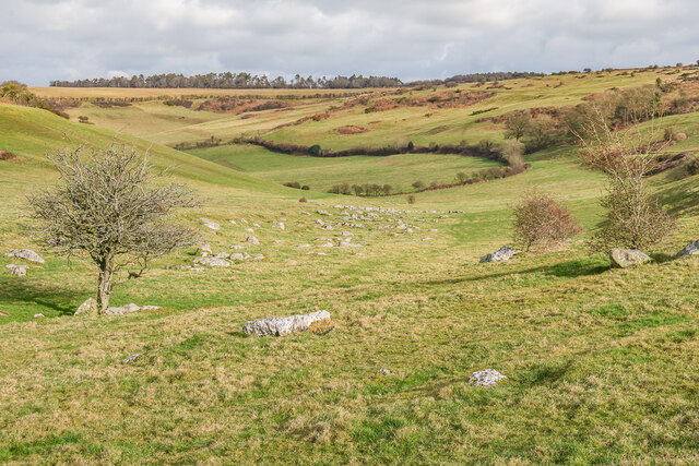
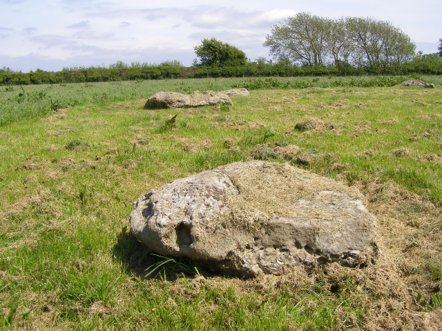
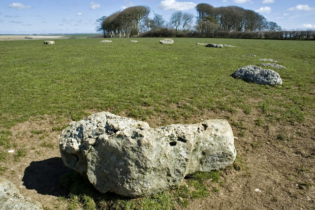
Kingston Russell Stone Circle
Kingston Russell Stone Circle, also known as the Gorwell Circle, is a stone circle located between the villages of Abbotsbury and Littlebredy in the south...
Nearby Amenities
Located within 500m of 50.699229,-2.5826524Have you been to Littlebredy?
Leave your review of Littlebredy below (or comments, questions and feedback).