Ash Grove
Wood, Forest in Gloucestershire Forest of Dean
England
Ash Grove
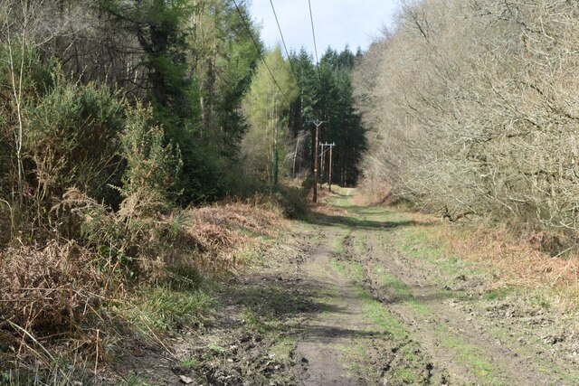
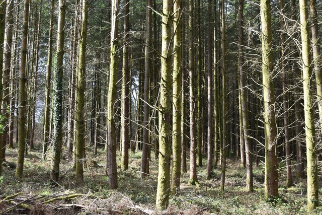
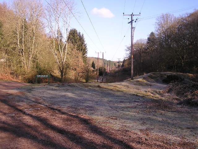
Ash Grove is a picturesque woodland located in Gloucestershire, England. Situated on the outskirts of the town of Ashwell, this natural haven spans approximately 50 acres and is a popular destination for nature lovers and outdoor enthusiasts. The grove is characterized by its dense, ancient woodland, which primarily consists of ash trees, giving the area its name.
The forest is home to a diverse range of flora and fauna, providing a rich and vibrant ecosystem. It is a haven for birdwatchers, with species such as the great spotted woodpecker, tawny owl, and long-tailed tit frequently spotted within the grove. In addition to its avian inhabitants, Ash Grove also boasts a variety of mammals, including deer, foxes, and badgers.
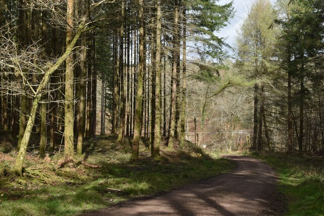
Visitors can explore the woodland through a network of well-maintained paths and trails, allowing them to immerse themselves in the natural beauty of the area. The grove offers a tranquil environment, making it an ideal spot for walking, jogging, or simply enjoying a peaceful picnic amidst the trees.
Ash Grove is managed by the local Gloucestershire Wildlife Trust, who work tirelessly to protect the natural habitat and maintain its biodiversity. Educational programs are also available, providing opportunities for visitors to learn about the importance of conservation and the delicate balance of ecosystems.
Overall, Ash Grove in Gloucestershire offers a serene and enchanting experience for those who wish to escape the hustle and bustle of everyday life and immerse themselves in the beauty of nature.
If you have any feedback on the listing, please let us know in the comments section below.
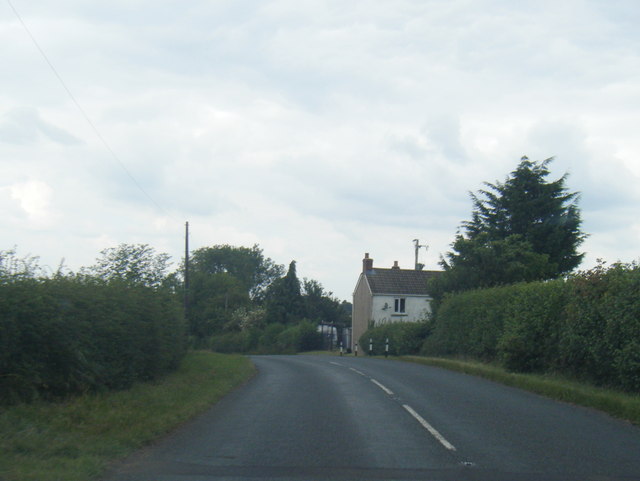
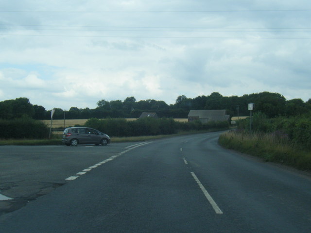
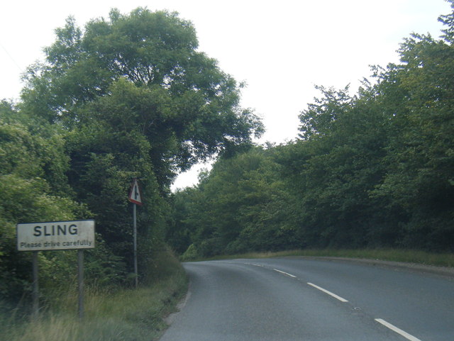
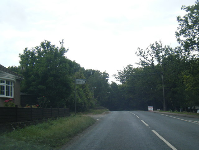
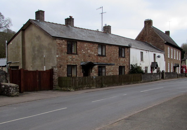
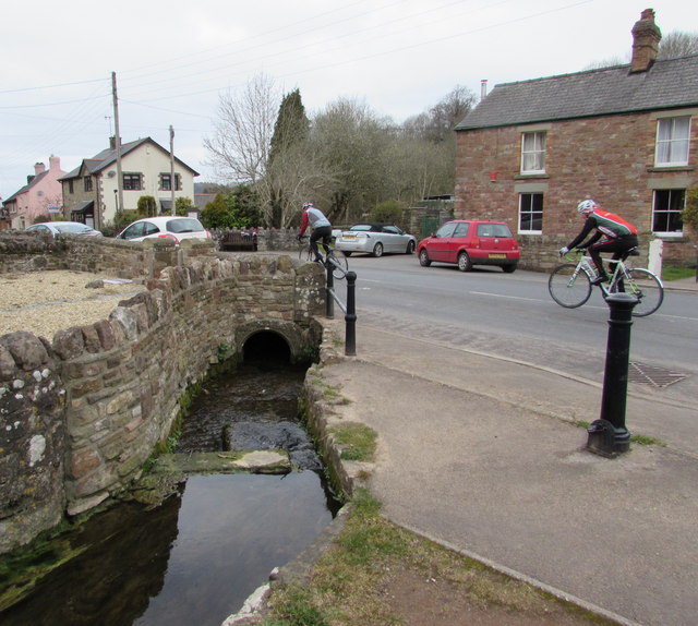
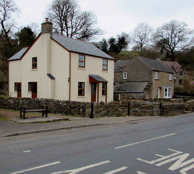
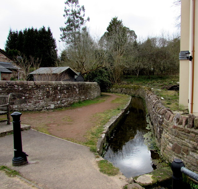
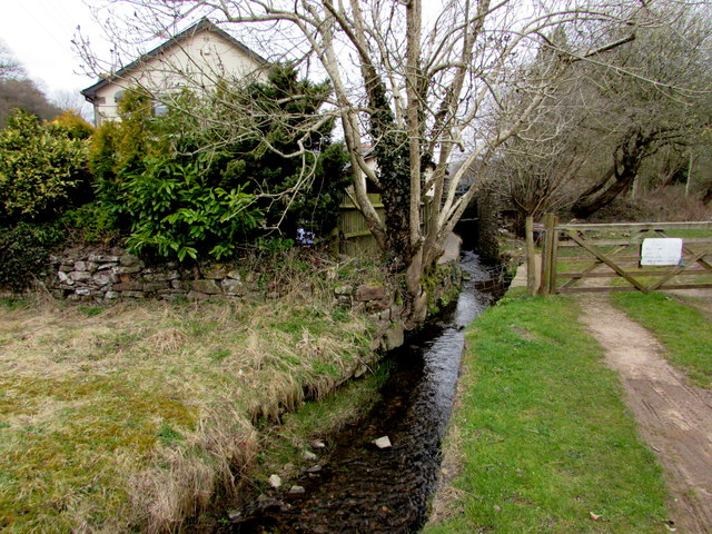
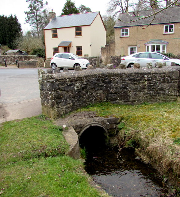
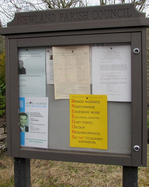
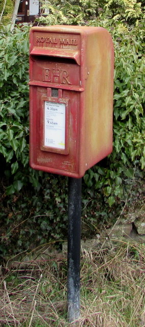
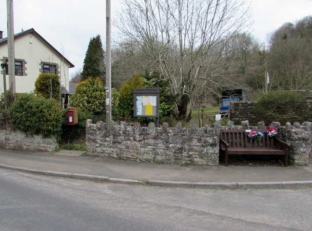
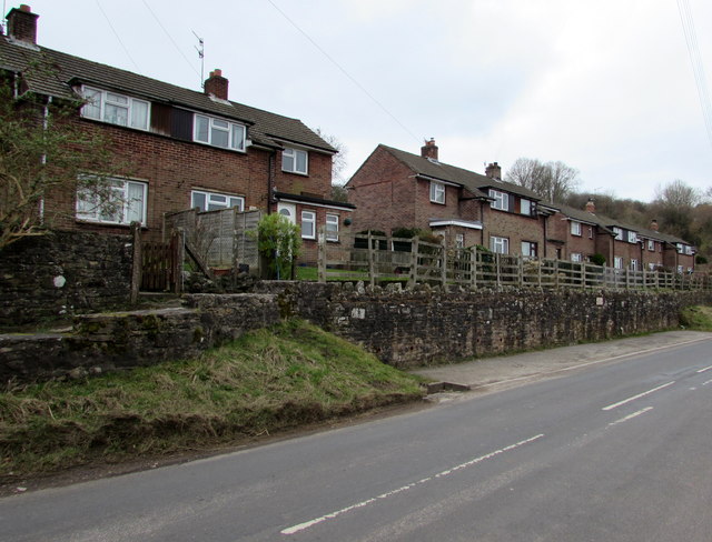
Ash Grove Images
Images are sourced within 2km of 51.760882/-2.6047998 or Grid Reference SO5807. Thanks to Geograph Open Source API. All images are credited.
Ash Grove is located at Grid Ref: SO5807 (Lat: 51.760882, Lng: -2.6047998)
Administrative County: Gloucestershire
District: Forest of Dean
Police Authority: Gloucestershire
What 3 Words
///bonfires.sunflower.maker. Near Bream, Gloucestershire
Nearby Locations
Related Wikis

Sling, Gloucestershire
Sling is a village in Gloucestershire, England. The village is located between Clearwell and Bream. It is just south of the village of Milkwall. ��2�...
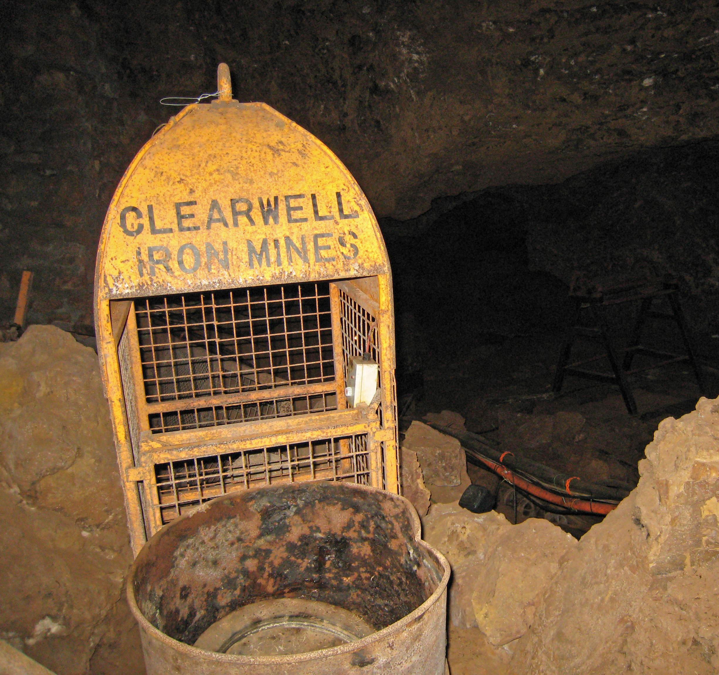
Clearwell Caves
Clearwell Caves, at Clearwell in the Forest of Dean, Gloucestershire, England, is a natural cave system which has been extensively mined for iron ore....

Ellwood, Gloucestershire
Ellwood is a hamlet in the Forest of Dean district in Gloucestershire, England. It lies around 3 kilometres (1.9 mi) south-east of Coleford. The hamlet...
Tudor Farm Bank
Tudor Farm Bank (grid reference SO573081) is a 3.68-hectare (9.1-acre) biological Site of Special Scientific Interest in Gloucestershire, notified in 1999...
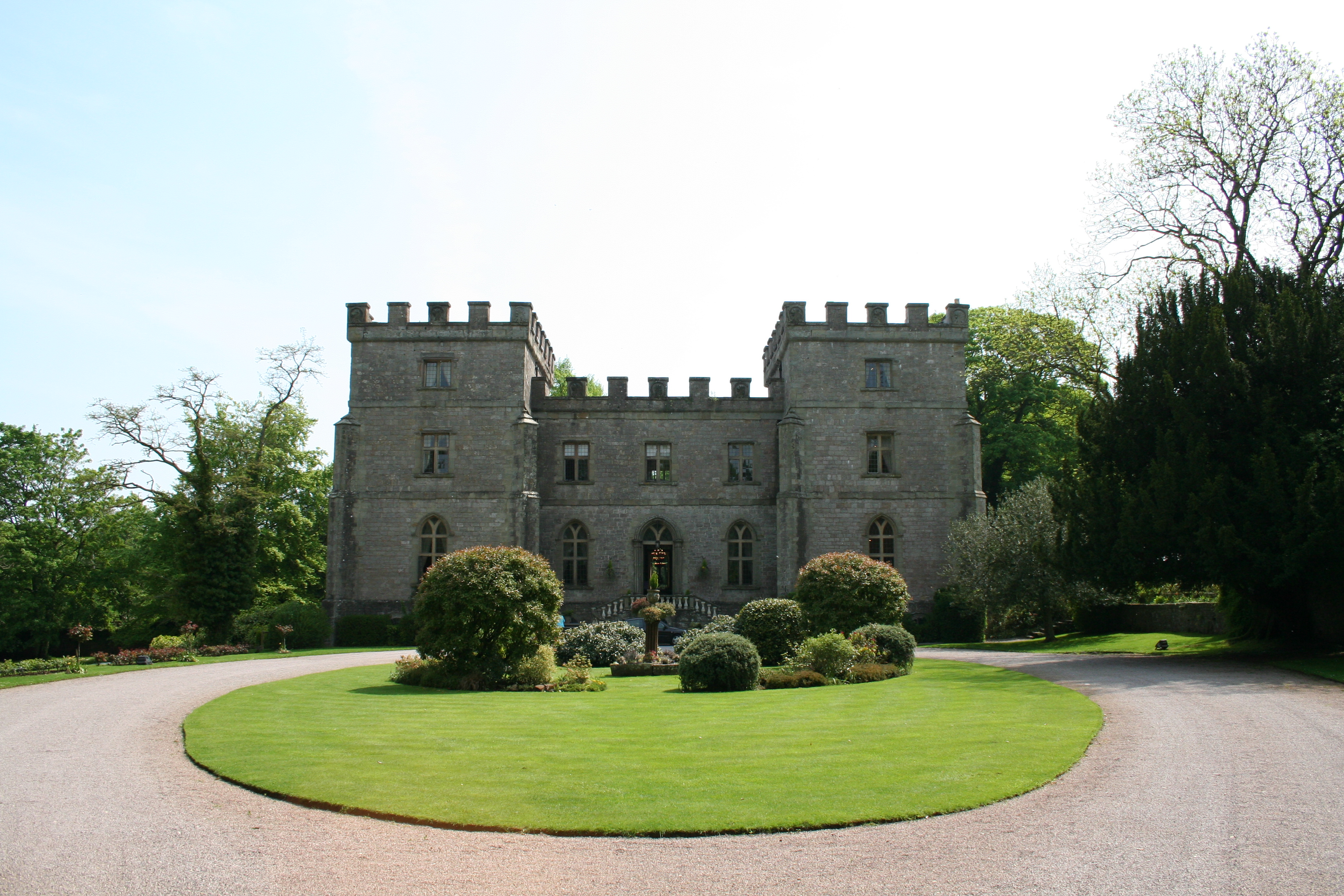
Clearwell Castle
Clearwell Castle in Clearwell, the Forest of Dean, Gloucestershire, is a Gothic Revival house constructed from 1727. Built by Thomas Wyndham to the designs...

Clearwell
Clearwell (anciently "Clower-Wall" etc.) is a village and former ancient manor in the Forest of Dean, West Gloucestershire, England. A recent survey indicated...

Milkwall
Milkwall is a village in the Forest of Dean in Gloucestershire, England. It lies between the village of Sling to the south, and the town of Coleford to...

Old Bow and Old Ham Mines
Old Bow And Old Ham Mines (grid reference SO579088) is a 40.3-hectare (100-acre) biological Site of Special Scientific Interest in Gloucestershire, notified...
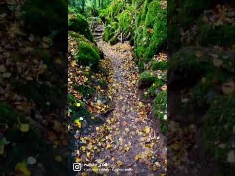
Related Videos
Go get it! 😉
puzzlewoodfod #travel #europe #adventures #travelphotography #solotravel #goexplore #wonderfulplaces #travelbug ...

One of the oldest forest in UK that you must visit ! 🧚🌲 #outdoors #travel #adventures #puzzlewood
Puzzlewood is an ancient woodland located in the Forest of Dean, Gloucestershire, UK. It is renowned for its otherworldly and ...
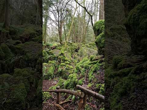

Whispers of Magic: A Journey Through Spellbinding PUZZLEWOOD
Welcome to Puzzlewood, the most magical forest in Britain, in the enchanting Forest of Dean. With its twisting pathways, ...
Nearby Amenities
Located within 500m of 51.760882,-2.6047998Have you been to Ash Grove?
Leave your review of Ash Grove below (or comments, questions and feedback).