Marsh Lane

Settlement in Gloucestershire Forest of Dean

England

Marsh Lane

The remains of the Titanic Steelworks The Titanic steelworks were so named because Robert Mushet the owner was experimenting with Titanium at that time.  Robert Mushet was working on solving the problems with the Bessemer steel making process.
The remains of the Titanic Steelworks Credit: Philip Halling

Marsh Lane is a small village located in the county of Gloucestershire, England. Situated in the picturesque countryside, it is nestled between the larger towns of Cheltenham and Tewkesbury. The village is part of the Tewkesbury Borough and falls within the civil parish of Stoke Orchard.

Marsh Lane is characterized by its tranquil and idyllic setting, with rolling hills and lush green fields surrounding the area. The landscape is dotted with charming cottages, farmhouses, and a few modern residential properties. The village has a close-knit community, where residents take pride in maintaining the rural charm and peaceful atmosphere.

The village benefits from its proximity to various amenities and attractions. Within a short drive, residents can access a range of local shops, schools, and healthcare facilities in nearby towns. Additionally, the beautiful Cotswold Hills are within easy reach, offering opportunities for outdoor activities such as walking, hiking, and cycling.

Transport links to Marsh Lane are convenient, with good road connections to nearby towns and cities. The M5 motorway is easily accessible, providing convenient access to Bristol, Birmingham, and other major destinations. The village is also served by local bus services, connecting residents to surrounding areas.

Overall, Marsh Lane provides a serene countryside living experience, making it an attractive place for those seeking a peaceful retreat while still having access to essential amenities and nearby urban centers.

If you have any feedback on the listing, please let us know in the comments section below.
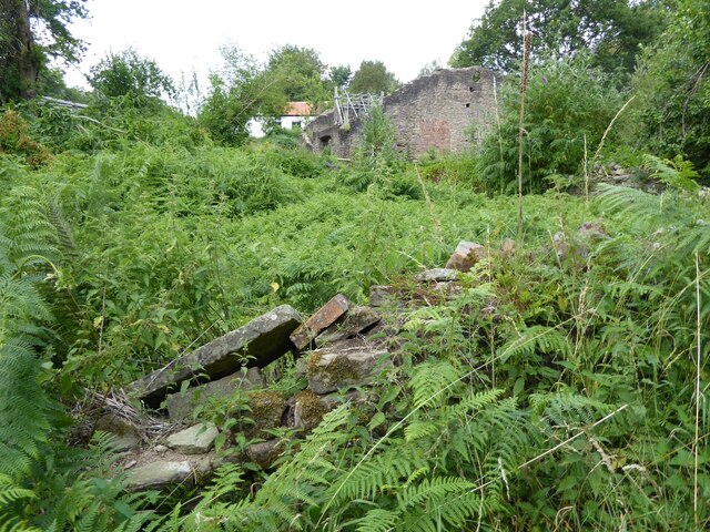
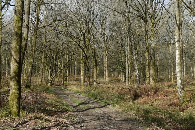
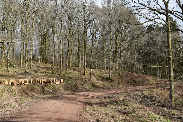
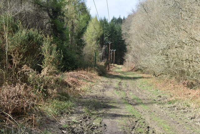
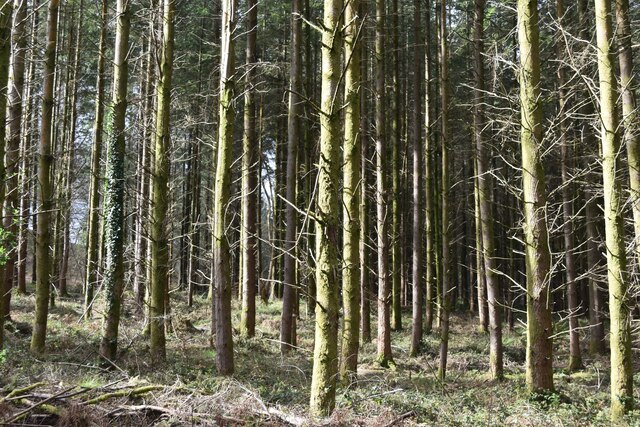
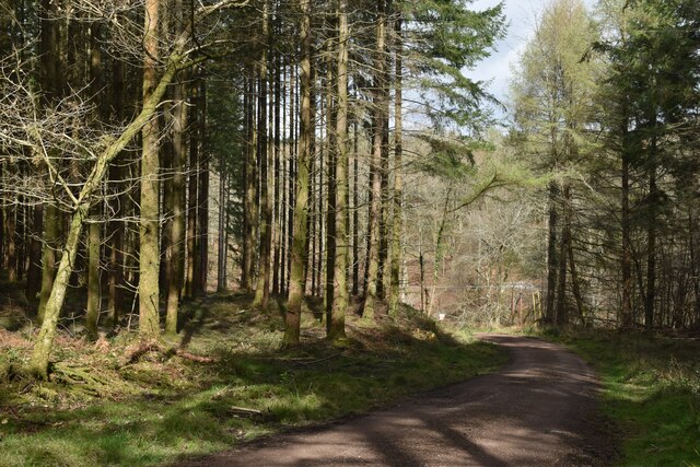
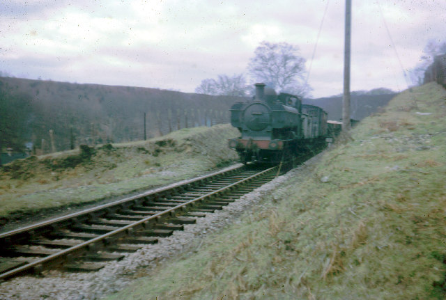
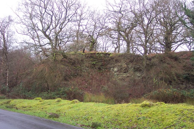
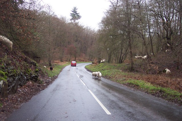
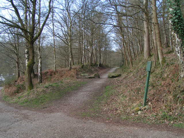
Marsh Lane Images

Images are sourced within 2km of 51.768748/-2.598484 or Grid Reference SO5807. Thanks to Geograph Open Source API. All images are credited.

The remains of the Titanic Steelworks The Titanic steelworks were so named because Robert Mushet the owner was experimenting with Titanium at that time.  Robert Mushet was working on solving the problems with the Bessemer steel making process.
The remains of the Titanic Steelworks
The Titanic steelworks were so named because Robert Mushet the owner was experimenting with Titanium at that time. Robert Mushet was working on solving the problems with the Bessemer steel making process.
Woodland path at Parkend Walk
Timber stacked beside the Gloucestershire Way
Forest track beside Dry Brook
View into woods at Parkend Walk
Forest tack at Parkend Walk
Track and house below former railway line
Cycle route on former railway from Parkend to Coleford
Houses in valley bottom The Gloucestershire Way descends steeply, crosses the road and climbs again behind these buildings, one of which hosts a pottery studio.
Houses in valley bottom
The Gloucestershire Way descends steeply, crosses the road and climbs again behind these buildings, one of which hosts a pottery studio.
Train from Coleford to Parkend The Coleford Branch was part of the Severn and Wye railway in the Forest of Dean. The railway (now closed and lifted) was crossed here by the waymarked path from St Briavels to Mitcheldean.
Train from Coleford to Parkend
The Coleford Branch was part of the Severn and Wye railway in the Forest of Dean. The railway (now closed and lifted) was crossed here by the waymarked path from St Briavels to Mitcheldean.
Disused quarry near Parkend. One of the many reminders of the industrial past of the Forest of Dean.
Disused quarry near Parkend.
One of the many reminders of the industrial past of the Forest of Dean.
Sheep in the road! A common sight in the Forest of Dean, and quite a traffic hazard.
Sheep in the road!
A common sight in the Forest of Dean, and quite a traffic hazard.
Old Railway Track from Coleford to Parkend Photo taken from the same position as <a href="https://www.geograph.org.uk/photo/85548">SO6008 : Train from Coleford to Parkend</a>, but 44 years later. The line closed in 1967 and few traces remain. The trackbed is now a walkway and cycleway.
Old Railway Track from Coleford to Parkend
Photo taken from the same position as SO6008 : Train from Coleford to Parkend, but 44 years later. The line closed in 1967 and few traces remain. The trackbed is now a walkway and cycleway.
Mary Rose Young pottery and gallery One of many "craft" places in the forest.  The yellow is a strong attractor when driving or walking past.
Mary Rose Young pottery and gallery
One of many "craft" places in the forest. The yellow is a strong attractor when driving or walking past.
2 Western Cottages The entrance to Western Lodge,part of the lodge is visible over the gates.The Lodge is situated below Nagshead RSPB Nature Reserve.
2 Western Cottages
The entrance to Western Lodge,part of the lodge is visible over the gates.The Lodge is situated below Nagshead RSPB Nature Reserve.
Forestry commission Track This track going over Cleave Hill,is at the top end of the RSPB Nagshead Nature Reserve.
Forestry commission Track
This track going over Cleave Hill,is at the top end of the RSPB Nagshead Nature Reserve.
Forest Track This track is going over Nagshead Hill,within the Nagshead Plantation.
Forest Track
This track is going over Nagshead Hill,within the Nagshead Plantation.
Gloucester Way Part of the Gloucester Way,on the climb up Park Hill on the way to Parkend Walk.
Gloucester Way
Part of the Gloucester Way,on the climb up Park Hill on the way to Parkend Walk.
Show me another place!

Marsh Lane is located at Grid Ref: SO5807 (Lat: 51.768748, Lng: -2.598484)

Administrative County: Gloucestershire

District: Forest of Dean

Police Authority: Gloucestershire

What 3 Words

///attracts.defining.delighted. Near Bream, Gloucestershire

Related Wikis

Sling, Gloucestershire

Sling is a village in Gloucestershire, England. The village is located between Clearwell and Bream. It is just south of the village of Milkwall. ��2�...

Ellwood, Gloucestershire

Ellwood is a hamlet in the Forest of Dean district in Gloucestershire, England. It lies around 3 kilometres (1.9 mi) south-east of Coleford. The hamlet...

Darkhill Ironworks

Darkhill Ironworks, and the neighbouring Titanic Steelworks, are internationally important industrial remains associated with the development of the iron...

Milkwall

Milkwall is a village in the Forest of Dean in Gloucestershire, England. It lies between the village of Sling to the south, and the town of Coleford to...
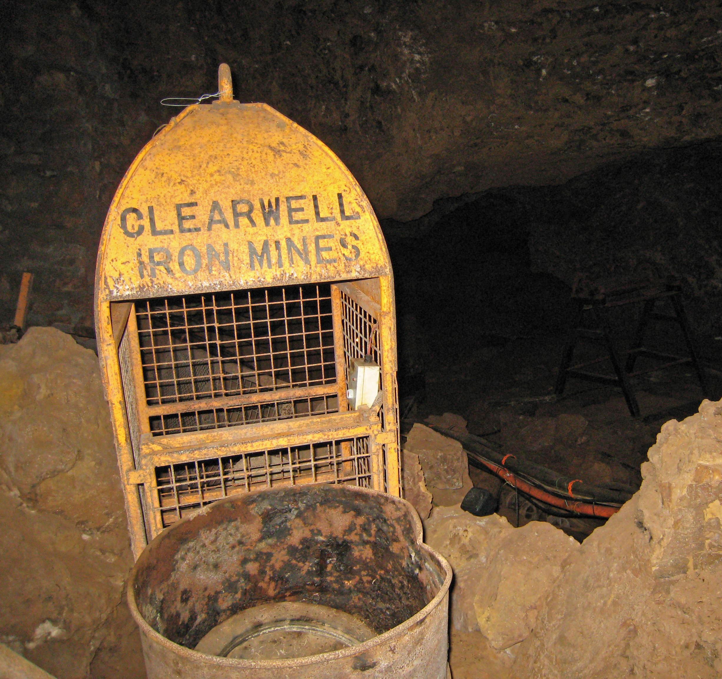
Clearwell Caves

Clearwell Caves, at Clearwell in the Forest of Dean, Gloucestershire, England, is a natural cave system which has been extensively mined for iron ore....

Old Bow and Old Ham Mines

Old Bow And Old Ham Mines (grid reference SO579088) is a 40.3-hectare (100-acre) biological Site of Special Scientific Interest in Gloucestershire, notified...

Gorsty Knoll

Gorsty Knoll is a small hamlet, located in the Forest of Dean, Gloucestershire, England. The internationally important remains of Darkhill Ironworks and...

Milkwall railway station

Milkwall railway station is a disused station on the former Severn and Wye Railway. It served the village of Milkwall, Gloucestershire, England. The station...

Nearby Amenities

Located within 500m of 51.768748,-2.598484
Bus Stop
Methodist Church
Naptan AtcoCode: 1600GL1819
Naptan Bearing: NW
Naptan CommonName: Methodist Church
Naptan Indicator: Opp
Naptan NaptanCode: gloagamt
Naptan Street: Bromley Rd
Naptan Verified: no
Source: naptan_import
Lat/Long: 51.7720059/-2.5957661
Bus Stop
Methodist Church
Naptan AtcoCode: 1600GL1820
Naptan Bearing: SE
Naptan CommonName: Methodist Church
Naptan NaptanCode: gloagapm
Naptan Street: Bromley Rd
Naptan Verified: no
Source: naptan_import
Lat/Long: 51.7718291/-2.5951696
Bus Stop
Crossroads
Naptan AtcoCode: 1600GL9048
Naptan Bearing: SE
Naptan BusStopType: CUS
Naptan CommonName: Crossroads
Naptan NaptanCode: gloadwmd
Naptan Street: Clements End Rd
Naptan Verified: no
Source: naptan_import
Lat/Long: 51.7683427/-2.6052826
Bus Stop
Crossroads
Naptan AtcoCode: 1600GLA06123
Naptan Bearing: NW
Naptan CommonName: Crossroads
Naptan NaptanCode: glogpgjg
Naptan Street: Clements End Rd
Naptan Verified: no
Source: naptan_import
Lat/Long: 51.7677532/-2.6045212
Bus Stop
Crossroads
Naptan AtcoCode: 1600GLF305
Naptan Bearing: NE
Naptan CommonName: Crossroads
Naptan NaptanCode: gloadwma
Naptan Street: Parkend Rd
Naptan Verified: no
Source: naptan_import
Lat/Long: 51.7686386/-2.605446
Telephone
Booth: K6
Covered: booth
Man Made: telephone_box
Source: Bing
Lat/Long: 51.7726445/-2.597091
Post Box
Post Box Type: lamp
Royal Cypher: EIIR
Royal Cypher Wikidata: Q33102113
Lat/Long: 51.7726655/-2.5971303
Ellwood
Place: village
Source: OS_OpenData_StreetView
Wikidata: Q5366188
Lat/Long: 51.7708154/-2.5982647
Ellwood Green
Place: hamlet
Source: OS_OpenData_StreetView
Lat/Long: 51.7722216/-2.599402
Power: pole
Lat/Long: 51.7647292/-2.5955348
Power: pole
Lat/Long: 51.7664281/-2.5962415
Power: pole
Lat/Long: 51.7673195/-2.5965768
Power: pole
Lat/Long: 51.768137/-2.5969175
Power: pole
Lat/Long: 51.7674689/-2.6030168
Power: pole
Lat/Long: 51.7678988/-2.6022269
Power: pole
Lat/Long: 51.7688582/-2.60047
Power: pole
Lat/Long: 51.7690516/-2.5986743
Power: pole
Lat/Long: 51.7691877/-2.59736
Power: pole
Lat/Long: 51.7693404/-2.5959411
Power: pole
Lat/Long: 51.7695197/-2.5942782
Power: pole
Lat/Long: 51.7696101/-2.5935204
Power: pole
Lat/Long: 51.7696964/-2.5926742
Power: pole
Lat/Long: 51.7695172/-2.5916442
The data included in this document is from www.openstreetmap.org. The data is made available under ODbL.

Have you been to Marsh Lane?

Leave your review of Marsh Lane below (or comments, questions and feedback).