Sling

Settlement in Gloucestershire Forest of Dean

England

Sling

The remains of the Titanic Steelworks The Titanic steelworks were so named because Robert Mushet the owner was experimenting with Titanium at that time.  Robert Mushet was working on solving the problems with the Bessemer steel making process.
The remains of the Titanic Steelworks Credit: Philip Halling

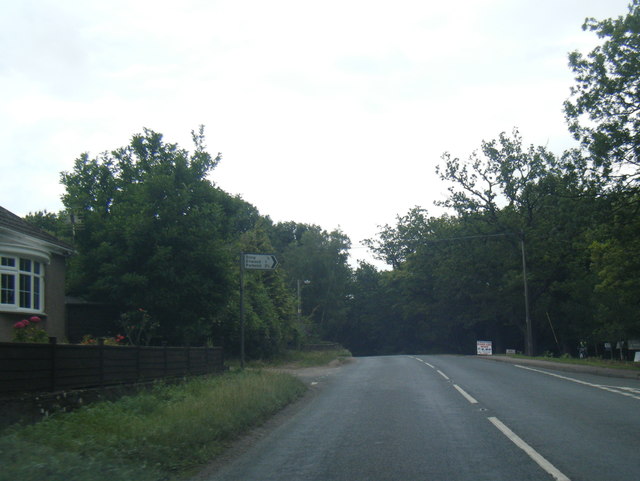
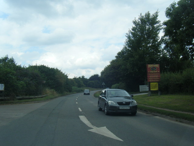
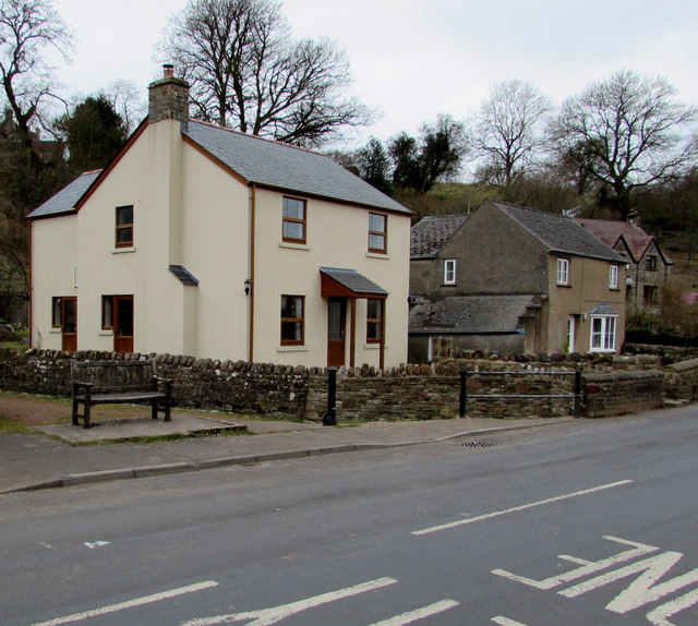
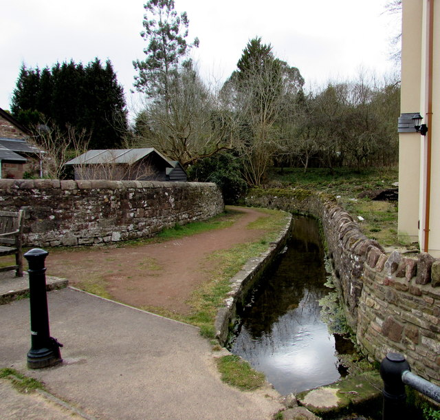
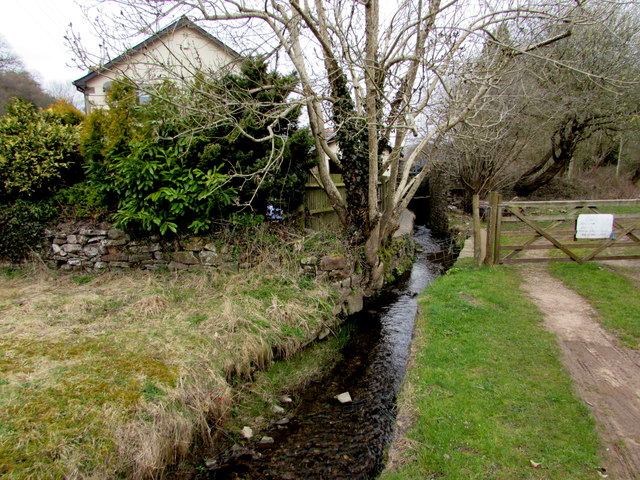
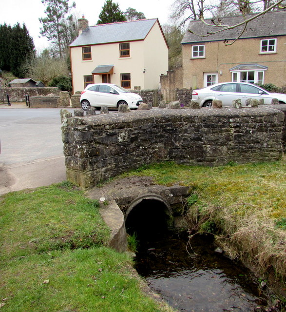
Sling is a small village located in the county of Gloucestershire, England. Situated in the Forest of Dean district, it is nestled amongst picturesque countryside and is rich in natural beauty. The village is surrounded by lush green fields, rolling hills, and dense woodlands, making it an ideal destination for those seeking a peaceful and tranquil setting.

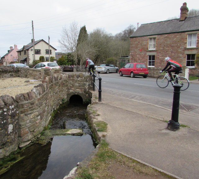
Sling is a tight-knit community, with a population of around 500 residents. Despite its small size, it boasts a strong sense of community spirit and a friendly atmosphere. The village is known for its close-knit community events and activities, such as local fairs, summer festivals, and sports tournaments.

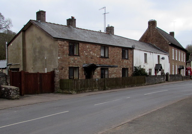
The village is home to a number of historic buildings and landmarks, including the beautiful St. John the Evangelist Church, which dates back to the 12th century. The church is a prominent feature of Sling, with its stunning architecture and rich history.

Sling is also known for its outdoor recreational activities, with numerous walking and cycling trails crisscrossing the surrounding countryside. The village is a popular starting point for hikers and nature enthusiasts wishing to explore the nearby Forest of Dean, which offers a plethora of natural wonders and wildlife.

In terms of amenities, Sling is home to a small local shop, providing basic necessities to the residents. However, for more extensive shopping needs, the nearby towns of Coleford and Lydney offer a wider range of amenities, including supermarkets, shops, and restaurants.

Overall, Sling, Gloucestershire, is a charming village that offers a peaceful and scenic retreat for those seeking to escape the hustle and bustle of urban life. Its natural beauty, strong community spirit, and proximity to the Forest of Dean make it a desirable place to live or visit.

If you have any feedback on the listing, please let us know in the comments section below.
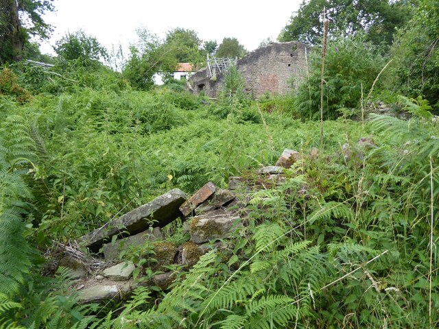
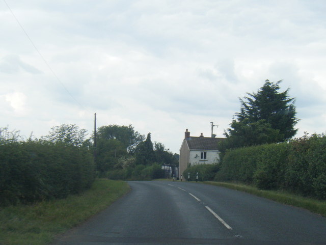
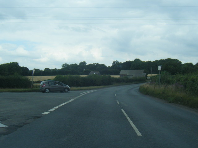
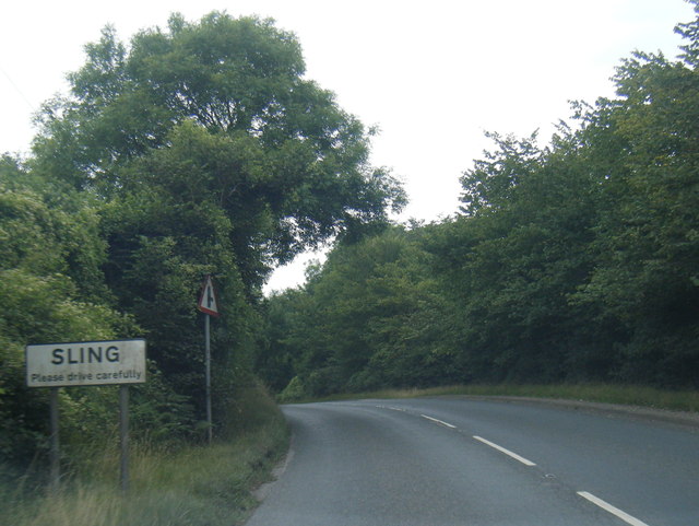
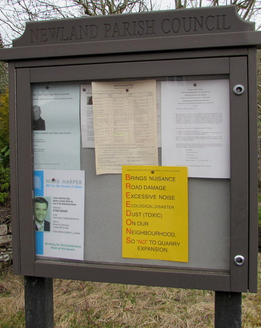
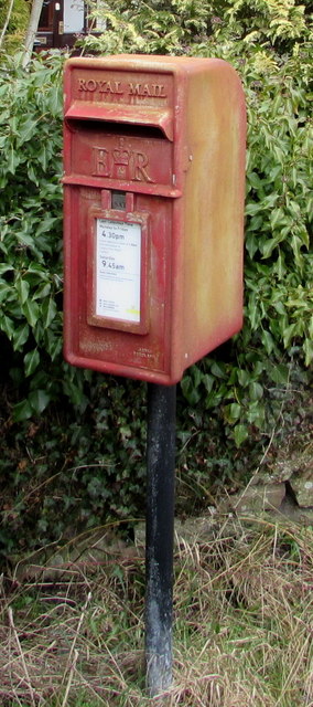
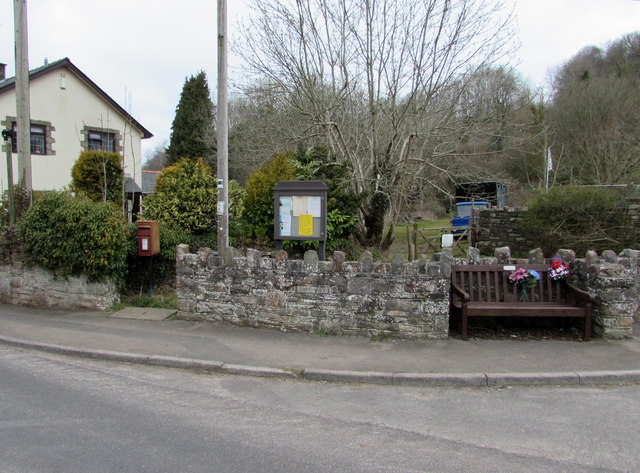
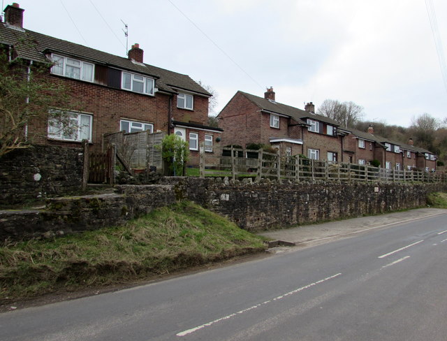
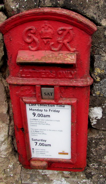
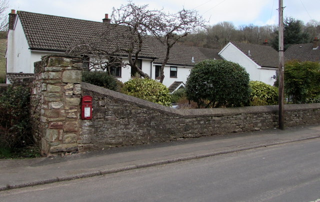
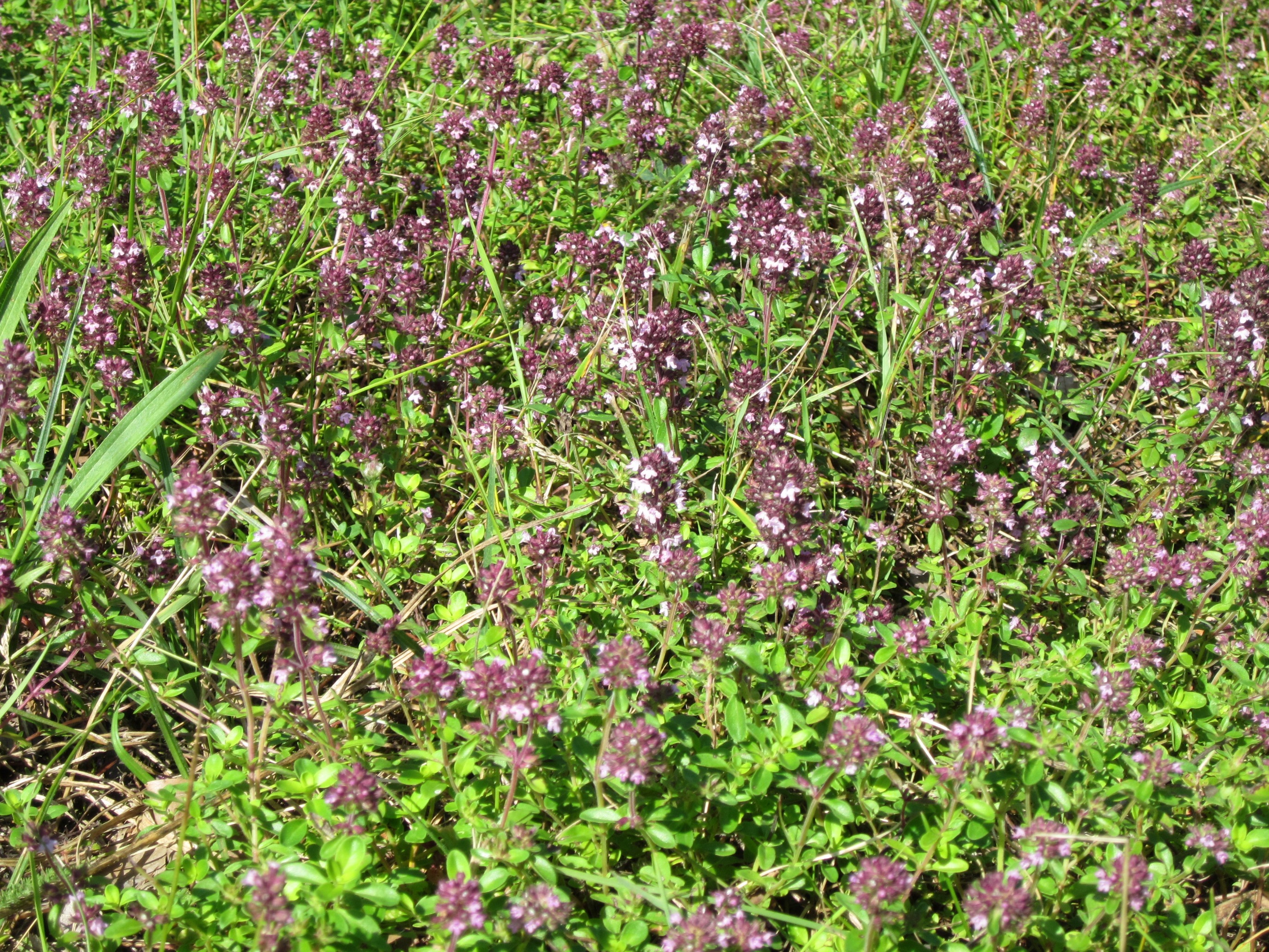
Sling Images

Images are sourced within 2km of 51.766991/-2.60788 or Grid Reference SO5807. Thanks to Geograph Open Source API. All images are credited.

The remains of the Titanic Steelworks The Titanic steelworks were so named because Robert Mushet the owner was experimenting with Titanium at that time.  Robert Mushet was working on solving the problems with the Bessemer steel making process.
The remains of the Titanic Steelworks
The Titanic steelworks were so named because Robert Mushet the owner was experimenting with Titanium at that time. Robert Mushet was working on solving the problems with the Bessemer steel making process.
B4228 near Longley Farm
B4228/Shophouse Road junction
B4228 at Sling village boundary
B4228 at Oakwood Road junction
B4228 at Perrygrove
B4228 at Perrygrove
Towards the centre of Clearwell The red phonebox on the right is opposite this <a title="https://www.geograph.org.uk/photo/4400603" href="https://www.geograph.org.uk/photo/4400603">Link</a> medieval cross.
Towards the centre of Clearwell
The red phonebox on the right is opposite this Link medieval cross.
Cycling through Clearwell Two Sunday cyclists head away from the centre of the village.
Cycling through Clearwell
Two Sunday cyclists head away from the centre of the village.
Recently-built house in Clearwell Viewed in March 2015. The house on the left does not appear in a July 2009 Google Earth Street View.
Recently-built house in Clearwell
Viewed in March 2015. The house on the left does not appear in a July 2009 Google Earth Street View.
Valley Brook, Clearwell Here in an artificial channel past a wall.
Valley Brook, Clearwell
Here in an artificial channel past a wall.
Brook and gate, Clearwell Valley Brook at the edge of Brook Farm.
Brook and gate, Clearwell
Valley Brook at the edge of Brook Farm.
Valley Brook culvert, Clearwell The culvert is under the main road through the village.
Valley Brook culvert, Clearwell
The culvert is under the main road through the village.
Newland Parish Council noticeboard in Clearwell In March 2015, the yellow notice opposes a proposed Clearwell Quarry expansion by Breedons.
Newland Parish Council noticeboard in Clearwell
In March 2015, the yellow notice opposes a proposed Clearwell Quarry expansion by Breedons.
Queen Elizabeth II postbox in Clearwell Located here. <a title="https://www.geograph.org.uk/photo/4632978" href="https://www.geograph.org.uk/photo/4632978">Link</a>
Queen Elizabeth II postbox in Clearwell
Located here. Link
Postbox, noticeboard and bench in Clearwell On the north side of the main road through the village. The postbox is Elizabethan. <a title="https://www.geograph.org.uk/photo/4632977" href="https://www.geograph.org.uk/photo/4632977">Link</a>
Postbox, noticeboard and bench in Clearwell
On the north side of the main road through the village. The postbox is Elizabethan. Link
Wainland Place, Clearwell  Houses above the main road through the village.
Wainland Place, Clearwell
Houses above the main road through the village.
King George VI postbox in a Clearwell wall Located in the wall here. <a title="https://www.geograph.org.uk/photo/4632982" href="https://www.geograph.org.uk/photo/4632982">Link</a>
In March 2015, the notice shows that the last collection from this box 
is at 9am on Mondays to Fridays and as early as 7am on Saturday. 
In November 2008 <a title="https://www.geograph.org.uk/photo/1045700" href="https://www.geograph.org.uk/photo/1045700">Link</a> the times shown were 4.30pm and 9am. 
Royal Mail's idea of "service" has been to make collection times earlier
and earlier each day while deliveries of letters get later and later....
King George VI postbox in a Clearwell wall
Located in the wall here. Link In March 2015, the notice shows that the last collection from this box is at 9am on Mondays to Fridays and as early as 7am on Saturday. In November 2008 Link the times shown were 4.30pm and 9am. Royal Mail's idea of "service" has been to make collection times earlier and earlier each day while deliveries of letters get later and later....
King George VI postbox in Clearwell  <a title="https://www.geograph.org.uk/photo/4632981" href="https://www.geograph.org.uk/photo/4632981">Link</a> to a closer view.
King George VI postbox in Clearwell
Link to a closer view.
Show me another place!

Sling is located at Grid Ref: SO5807 (Lat: 51.766991, Lng: -2.60788)

Administrative County: Gloucestershire

District: Forest of Dean

Police Authority: Gloucestershire

What 3 Words

///lyricist.dockers.farmland. Near Bream, Gloucestershire

Related Wikis

Sling, Gloucestershire

Sling is a village in Gloucestershire, England. The village is located between Clearwell and Bream. It is just south of the village of Milkwall. ��2�...
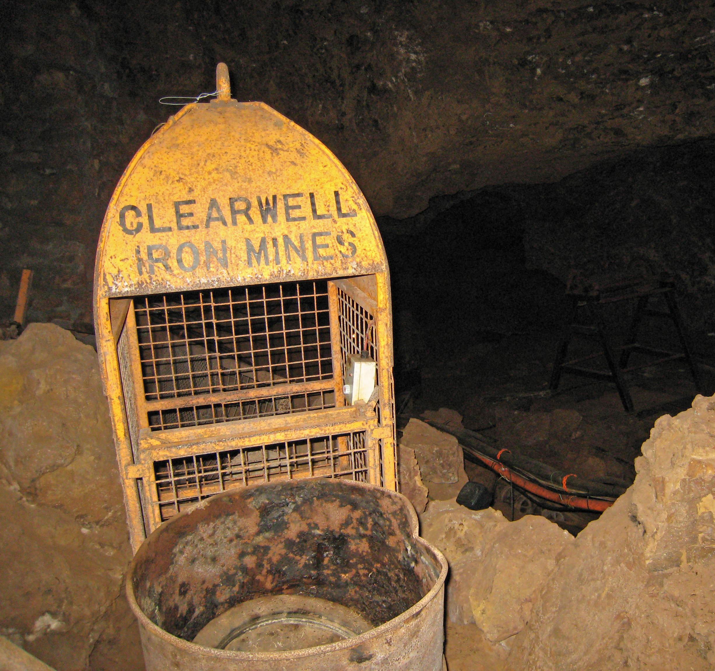
Clearwell Caves

Clearwell Caves, at Clearwell in the Forest of Dean, Gloucestershire, England, is a natural cave system which has been extensively mined for iron ore....

Tudor Farm Bank

Tudor Farm Bank (grid reference SO573081) is a 3.68-hectare (9.1-acre) biological Site of Special Scientific Interest in Gloucestershire, notified in 1999...

Milkwall

Milkwall is a village in the Forest of Dean in Gloucestershire, England. It lies between the village of Sling to the south, and the town of Coleford to...

Ellwood, Gloucestershire

Ellwood is a hamlet in the Forest of Dean district in Gloucestershire, England. It lies around 3 kilometres (1.9 mi) south-east of Coleford. The hamlet...

Old Bow and Old Ham Mines

Old Bow And Old Ham Mines (grid reference SO579088) is a 40.3-hectare (100-acre) biological Site of Special Scientific Interest in Gloucestershire, notified...
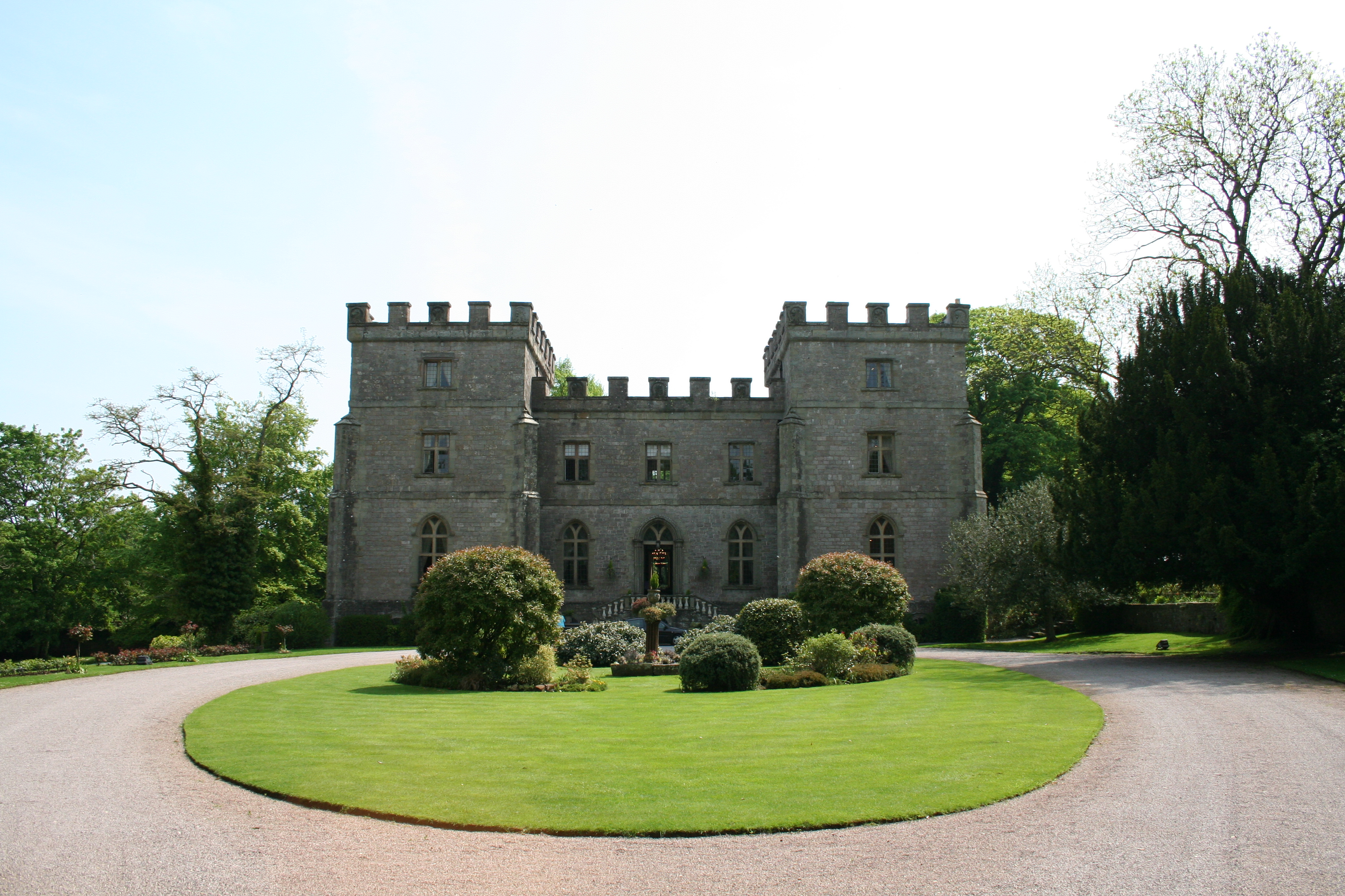
Clearwell Castle

Clearwell Castle in Clearwell, the Forest of Dean, Gloucestershire, is a Gothic Revival house constructed from 1727. Built by Thomas Wyndham to the designs...

Clearwell

Clearwell (anciently "Clower-Wall" etc.) is a village and former ancient manor in the Forest of Dean, West Gloucestershire, England. A recent survey indicated...

Nearby Amenities

Located within 500m of 51.766991,-2.60788
Bus Stop
Shop
Naptan AtcoCode: 1600GL4277
Naptan Bearing: NW
Naptan CommonName: Shop
Naptan NaptanCode: gloadwjt
Naptan Street: Oakwood Rd
Naptan Verified: no
Source: naptan_import
Lat/Long: 51.769368/-2.6069774
Bus Stop
Crossroads
Naptan AtcoCode: 1600GL4278
Naptan Bearing: SE
Naptan CommonName: Crossroads
Naptan NaptanCode: gloadwjw
Naptan Street: Oakwood Rd
Naptan Verified: no
Source: naptan_import
Lat/Long: 51.7689229/-2.6061164
Bus Stop
Club
Naptan AtcoCode: 1600GL4279
Naptan Bearing: NE
Naptan CommonName: Club
Naptan Indicator: Opp
Naptan NaptanCode: gloadwjp
Naptan Street: Milestone Walk
Naptan Verified: no
Source: naptan_import
Lat/Long: 51.7681225/-2.6061492
Bus Stop
Club
Naptan AtcoCode: 1600GL4280
Naptan Bearing: SW
Naptan CommonName: Club
Naptan NaptanCode: gloadwjg
Naptan Street: Milestone Walk
Naptan Verified: no
Source: naptan_import
Lat/Long: 51.7678241/-2.606464
Bus Stop
Crossroads
Naptan AtcoCode: 1600GL9048
Naptan Bearing: SE
Naptan BusStopType: CUS
Naptan CommonName: Crossroads
Naptan NaptanCode: gloadwmd
Naptan Street: Clements End Rd
Naptan Verified: no
Source: naptan_import
Lat/Long: 51.7683427/-2.6052826
Bus Stop
Crossroads
Naptan AtcoCode: 1600GLA06123
Naptan Bearing: NW
Naptan CommonName: Crossroads
Naptan NaptanCode: glogpgjg
Naptan Street: Clements End Rd
Naptan Verified: no
Source: naptan_import
Lat/Long: 51.7677532/-2.6045212
Bus Stop
Montague Inn
Naptan AtcoCode: 1600GLF299
Naptan Bearing: NW
Naptan CommonName: Montague Inn
Naptan NaptanCode: gloadwpw
Naptan Street: Clements End Rd
Naptan Verified: no
Source: naptan_import
Lat/Long: 51.7647535/-2.6021046
Bus Stop
Montague Inn
Naptan AtcoCode: 1600GLF300
Naptan Bearing: SE
Naptan BusStopType: CUS
Naptan CommonName: Montague Inn
Naptan Indicator: Opp
Naptan NaptanCode: gloadwta
Naptan Street: Clements End Rd
Naptan Verified: no
Source: naptan_import
Lat/Long: 51.7646559/-2.6018425
Bus Stop
Crossroads
Naptan AtcoCode: 1600GLF305
Naptan Bearing: NE
Naptan CommonName: Crossroads
Naptan NaptanCode: gloadwma
Naptan Street: Parkend Rd
Naptan Verified: no
Source: naptan_import
Lat/Long: 51.7686386/-2.605446
Bus Stop
Orepool Inn
Naptan AtcoCode: 1600GLF509
Naptan Bearing: NE
Naptan CommonName: Orepool Inn
Naptan Indicator: Opp
Naptan NaptanCode: gloadtpm
Naptan Street: B4228
Naptan Verified: no
Source: naptan_import
Lat/Long: 51.7657179/-2.6103629
Bus Stop
Orepool Inn
Naptan AtcoCode: 1600GLF510
Naptan Bearing: SW
Naptan CommonName: Orepool Inn
Naptan NaptanCode: gloadtpd
Naptan Street: B4228
Naptan Verified: no
Source: naptan_import
Lat/Long: 51.765466/-2.610403
Bus Stop
Miners' Arms
Naptan AtcoCode: 1600GLF515
Naptan Bearing: E
Naptan CommonName: Miners' Arms
Naptan NaptanCode: gloadwdw
Naptan Street: Milestone Walk
Naptan Verified: no
Source: naptan_import
Lat/Long: 51.7676083/-2.6082146
Bus Stop
Miners' Arms
Naptan AtcoCode: 1600GLF516
Naptan Bearing: W
Naptan CommonName: Miners' Arms
Naptan Indicator: Opp
Naptan NaptanCode: gloadwgd
Naptan Street: Milestone Walk
Naptan Verified: no
Source: naptan_import
Lat/Long: 51.7675736/-2.6079678
Bus Stop
Burnt House
Naptan AtcoCode: 1600GLF523
Naptan Bearing: N
Naptan CommonName: Burnt House
Naptan Indicator: Opp
Naptan NaptanCode: gloadwap
Naptan Street: B4228
Naptan Verified: no
Source: naptan_import
Lat/Long: 51.7695381/-2.6088637
Bus Stop
Burnt House
Naptan AtcoCode: 1600GLF524
Naptan Bearing: S
Naptan CommonName: Burnt House
Naptan NaptanCode: gloadwaw
Naptan Street: B4228
Naptan Verified: no
Source: naptan_import
Lat/Long: 51.7695746/-2.6087628
Bus Stop
Miners' Arms
Naptan AtcoCode: 1600GLF713
Naptan Bearing: N
Naptan CommonName: Miners' Arms
Naptan Indicator: Opp
Naptan NaptanCode: gloadwda
Naptan Street: B4228
Naptan Verified: no
Source: naptan_import
Lat/Long: 51.7676601/-2.6086356
Bus Stop
Miners' Arms
Naptan AtcoCode: 1600GLF714
Naptan Bearing: S
Naptan CommonName: Miners' Arms
Naptan NaptanCode: gloadwdj
Naptan Street: B4228
Naptan Verified: no
Source: naptan_import
Lat/Long: 51.7677056/-2.6085203
Pub
The Ore Pool
Lat/Long: 51.7653961/-2.6102831
Parking
Lat/Long: 51.7655563/-2.609801
Sling
Place: village
Source: OS_OpenData_StreetView
Wikidata: Q7540669
Lat/Long: 51.7670576/-2.6079088
Entrance: yes
Lat/Long: 51.7680495/-2.6081029
Give Way
Direction: forward
Lat/Long: 51.7683132/-2.608699
Give Way
Direction: forward
Lat/Long: 51.7674622/-2.608569
Give Way
Direction: forward
Lat/Long: 51.764293/-2.6117688
Power: pole
Lat/Long: 51.7674689/-2.6030168
Power: pole
Lat/Long: 51.7678988/-2.6022269
The data included in this document is from www.openstreetmap.org. The data is made available under ODbL.

Have you been to Sling?

Leave your review of Sling below (or comments, questions and feedback).