Stone Hills Plantation
Wood, Forest in Dorset
England
Stone Hills Plantation
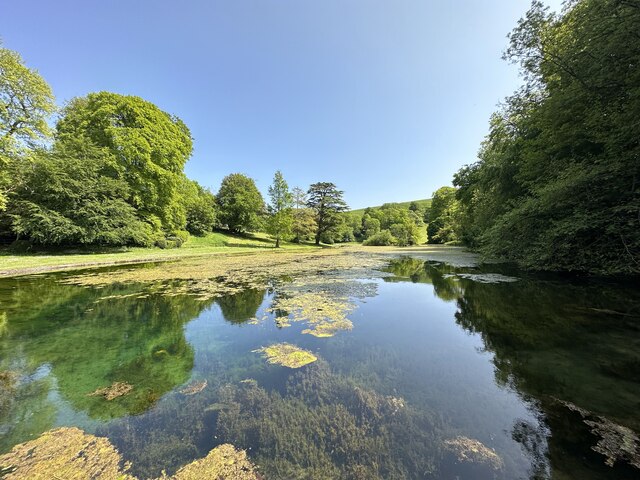
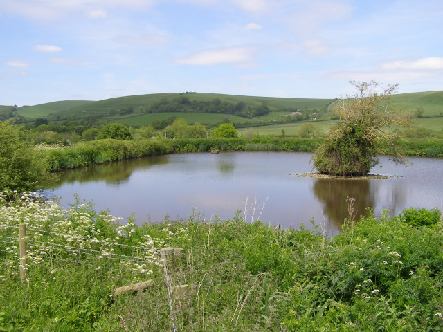
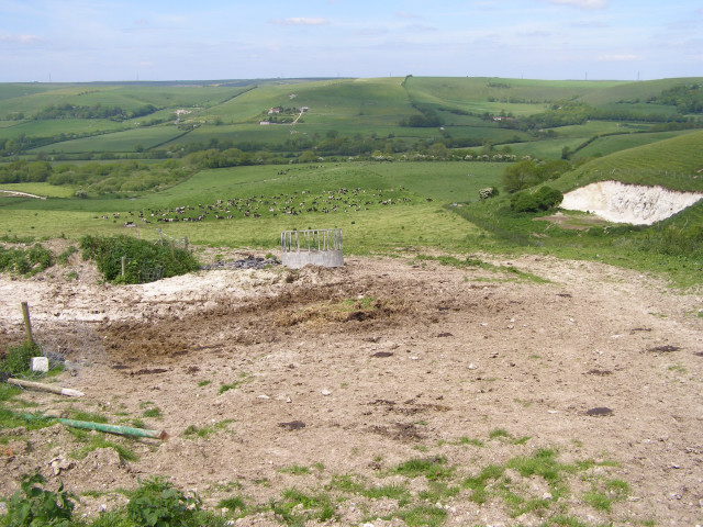
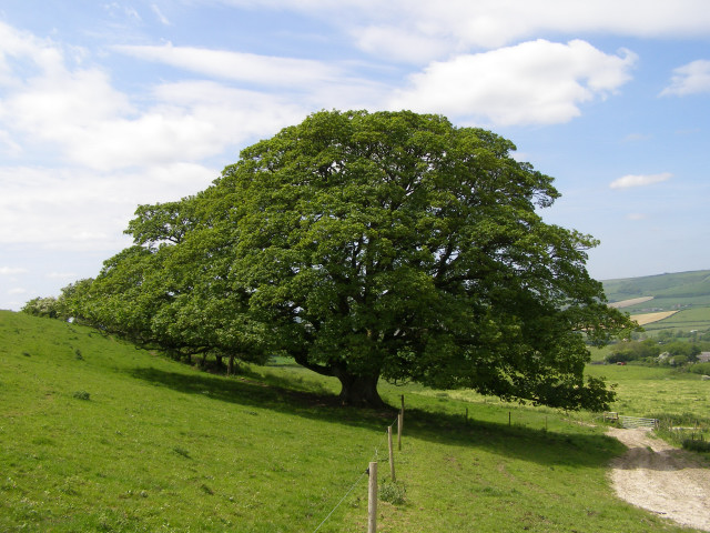
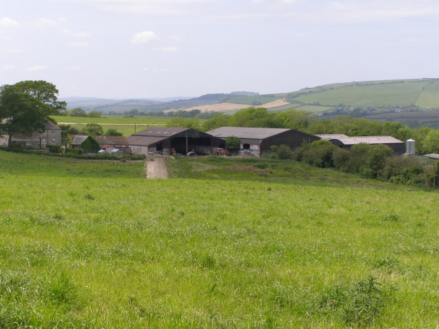
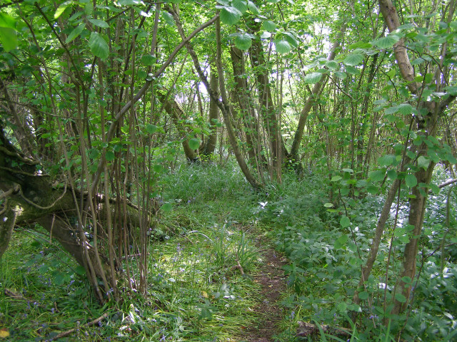
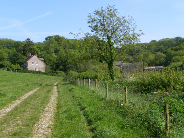
Stone Hills Plantation is a scenic and expansive forest located in Dorset, England. Covering an area of approximately 200 acres, it is known for its dense woodlands, rolling hills, and picturesque landscapes. The plantation is situated in the heart of the county, making it easily accessible to visitors from nearby towns and cities.
The woodland within Stone Hills Plantation is predominantly made up of native tree species, including oak, beech, and birch. These trees provide a rich habitat for a diverse range of flora and fauna, making it an ideal location for nature enthusiasts and wildlife lovers. The forest is home to various bird species, such as woodpeckers, owls, and songbirds, as well as small mammals like rabbits, foxes, and badgers.
The plantation offers numerous walking and hiking trails, allowing visitors to explore the stunning natural beauty of the area. The paths wind their way through the forest, offering breathtaking views of the surrounding countryside. Along the trails, there are several designated picnic areas, providing a perfect spot to relax and enjoy a meal amidst the tranquil surroundings.
Stone Hills Plantation is also a popular destination for outdoor activities such as mountain biking and horse riding. The diverse terrain and well-maintained trails make it an ideal location for these pursuits.
Overall, Stone Hills Plantation in Dorset is a haven for nature lovers and outdoor enthusiasts alike. With its enchanting woodlands, abundant wildlife, and recreational opportunities, it offers a delightful escape from the hustle and bustle of everyday life.
If you have any feedback on the listing, please let us know in the comments section below.
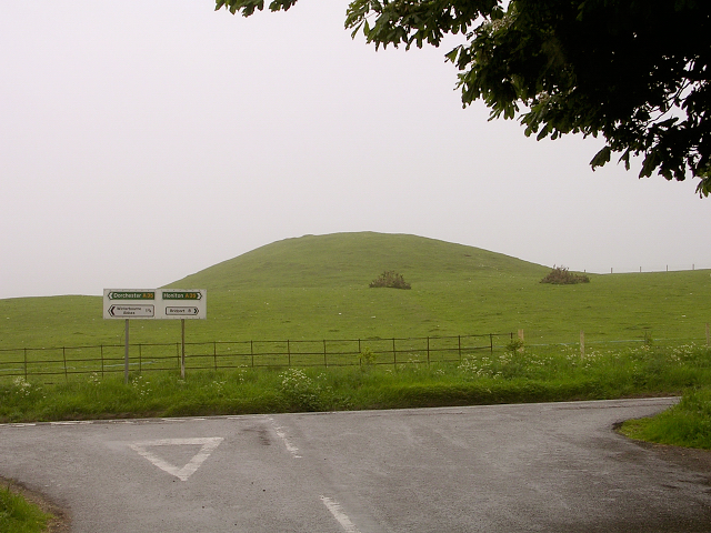
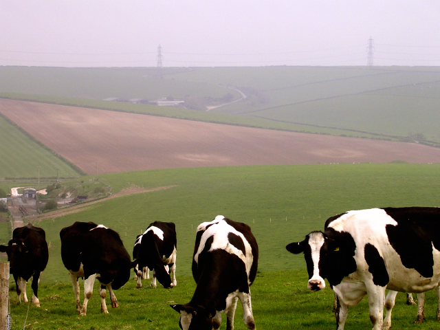
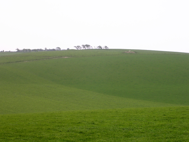
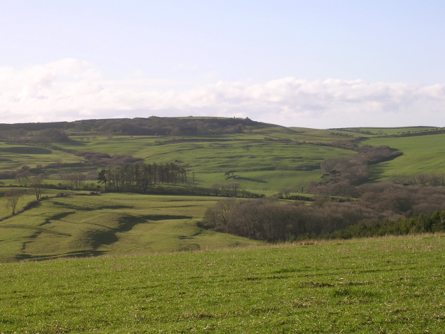
Stone Hills Plantation Images
Images are sourced within 2km of 50.698935/-2.5911445 or Grid Reference SY5888. Thanks to Geograph Open Source API. All images are credited.

Stone Hills Plantation is located at Grid Ref: SY5888 (Lat: 50.698935, Lng: -2.5911445)
Unitary Authority: Dorset
Police Authority: Dorset
What 3 Words
///grumble.binders.pinging. Near Maiden Newton, Dorset
Nearby Locations
Related Wikis

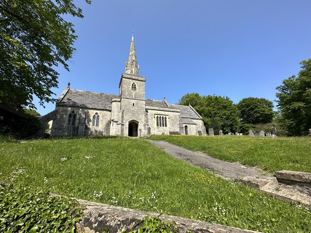
St Michael and All Angels Church, Littlebredy
St Michael and All Angels Church is a Grade II listed Anglican church in the village of Littlebredy, Dorset, England. == History == The tower dates from...
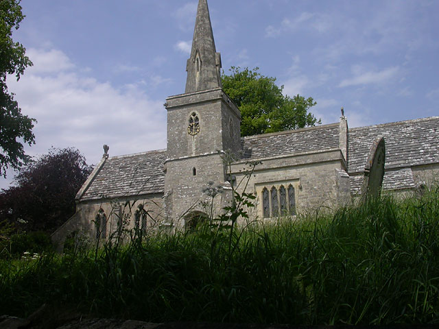
Littlebredy
Littlebredy (also written Little Bredy, pronounced ) is a small village and civil parish in the English county of Dorset, situated approximately 6.5 miles...

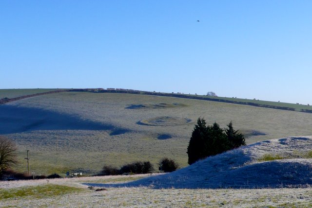
Pitcombe Down
Pitcombe Down (grid reference SY585897) is a 13.2 hectare biological Site of Special Scientific Interest in Dorset, notified in 1954. == Sources == English...

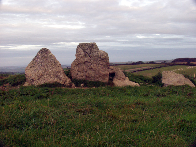
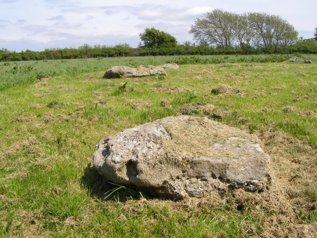
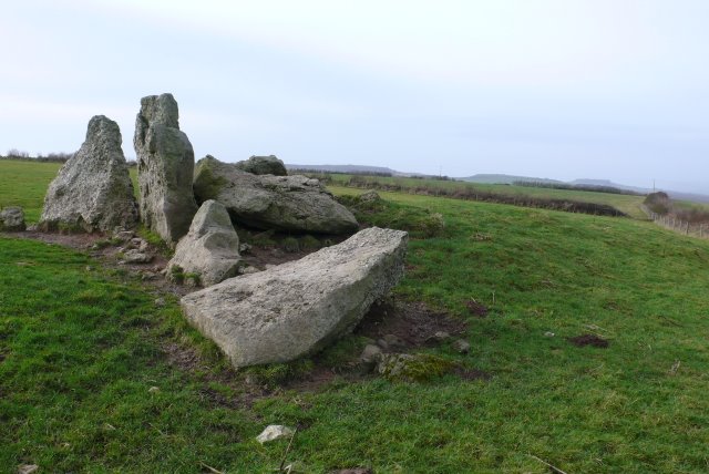
Kingston Russell Stone Circle
Kingston Russell Stone Circle, also known as the Gorwell Circle, is a stone circle located between the villages of Abbotsbury and Littlebredy in the south...

Kingston Russell House
Kingston Russell House is a large mansion house and manor near Long Bredy in Dorset, England, west of Dorchester. The present house dates from the late...

Long Bredy
Long Bredy is a village and civil parish in the county of Dorset in south-west England, situated approximately 7 miles (11 km) west of the county town...
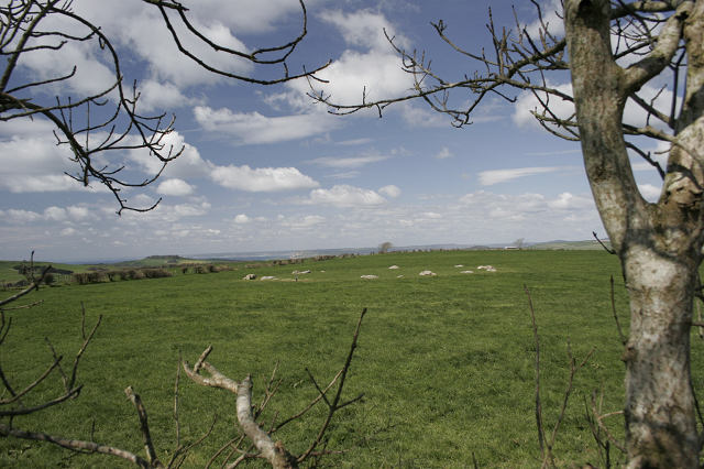
Poor Lot Barrow Cemetery
Poor Lot Barrow Cemetery is an archaeological site, a group of Bronze Age round barrows, near the A35 road about 2 miles (3.2 km) west of Winterbourne...
The Grey Mare and her Colts
The Grey Mare and her Colts is a megalithic chambered long barrow located near Abbotsbury in Dorset, England. It was built during the Early and Middle...
Nearby Amenities
Located within 500m of 50.698935,-2.5911445Have you been to Stone Hills Plantation?
Leave your review of Stone Hills Plantation below (or comments, questions and feedback).