Ash Moss Plantation

Wood, Forest in Cumberland Carlisle

England

Ash Moss Plantation

Bridleway in Dumblar Rigg Plantation Little-trodden by hoof or foot by the look of it.
Bridleway in Dumblar Rigg Plantation Credit: Karl and Ali

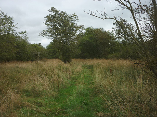
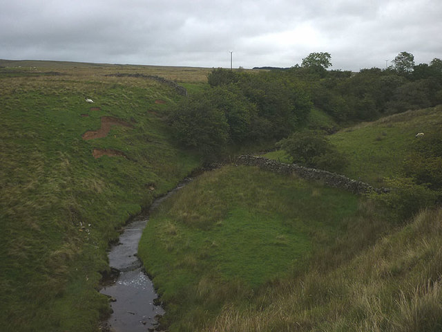
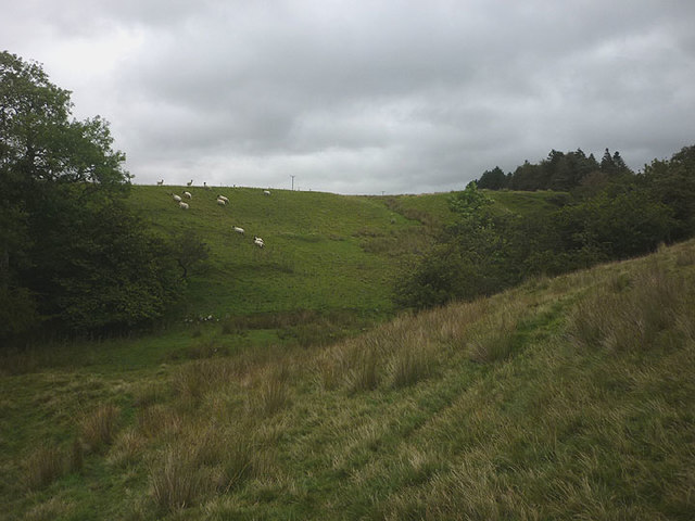
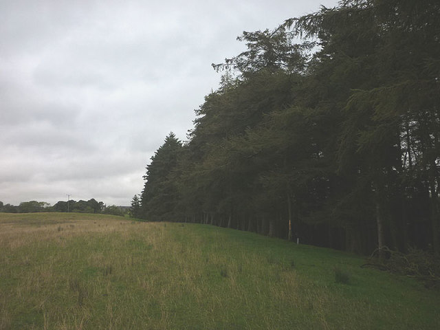
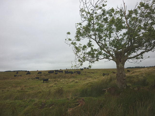
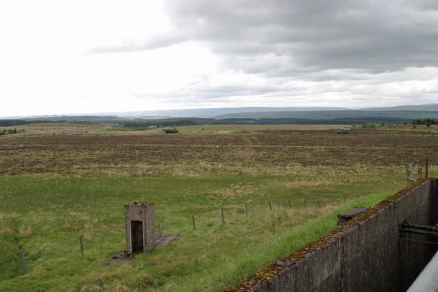
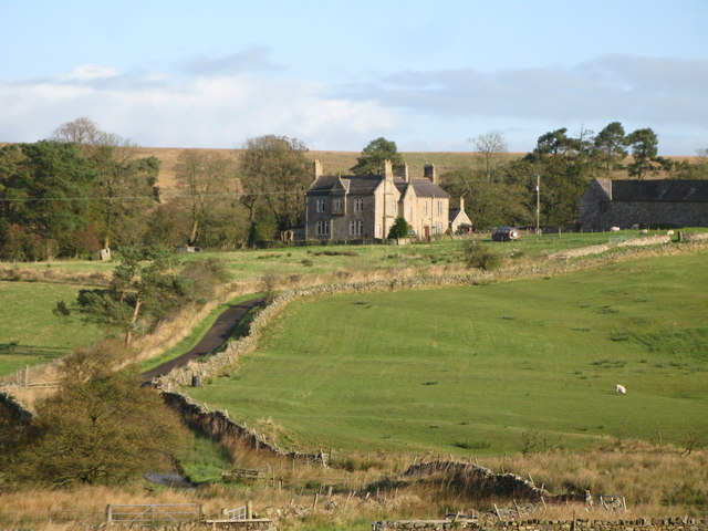
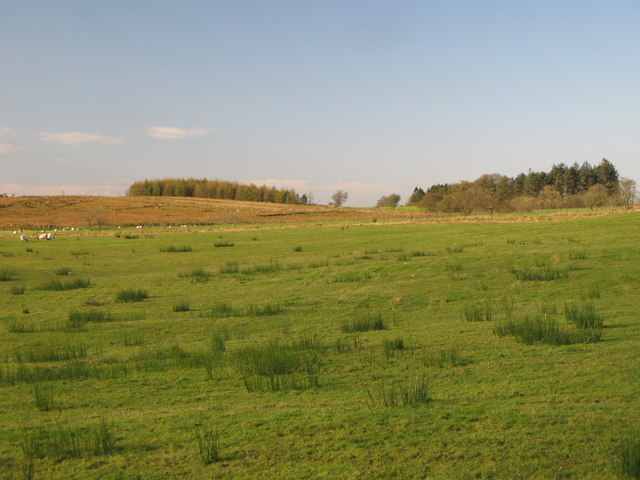
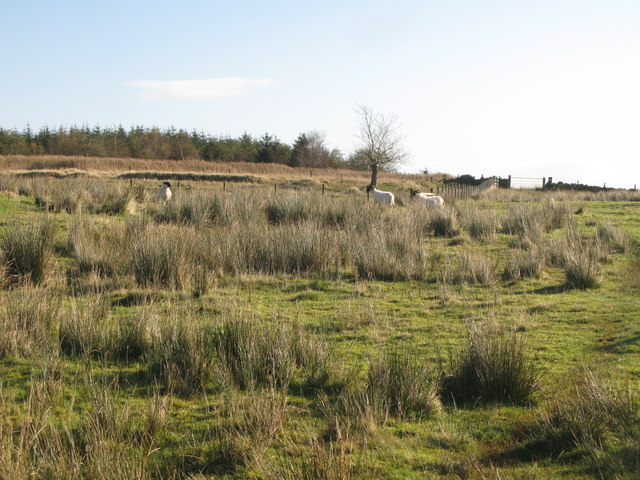
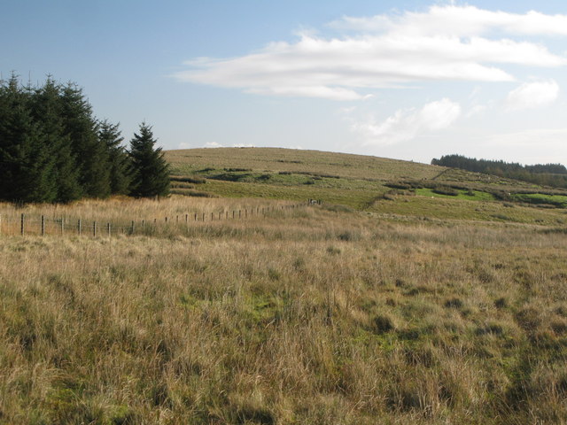
Ash Moss Plantation is a sprawling woodland estate located in Cumberland, a forested region known for its natural beauty and diverse wildlife. Covering an expansive area of land, the plantation is characterized by dense woodlands dominated by ash trees and a thick layer of moss that blankets the forest floor, giving the plantation its name.

The plantation boasts a rich history that dates back several centuries. Originally established as a logging operation in the early 1800s, Ash Moss Plantation quickly evolved into a thriving timber business. The towering ash trees provided an abundant source of high-quality timber, which was in high demand for construction and shipbuilding during that era.

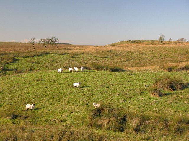
Today, the plantation serves as a protected area, managed by conservationists and environmentalists. The forest ecosystem is carefully preserved and serves as an important habitat for a diverse array of flora and fauna. The ash trees, with their distinctive bark and graceful branches, provide shelter and sustenance for various bird species, including woodpeckers and owls. The forest floor, covered in a thick layer of moss, is home to a variety of small mammals, amphibians, and insects.

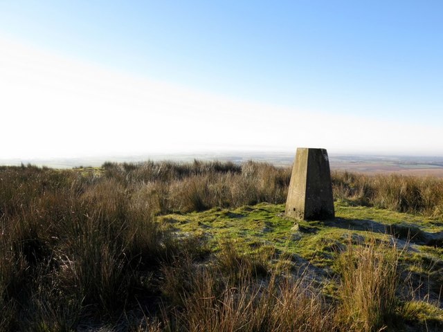
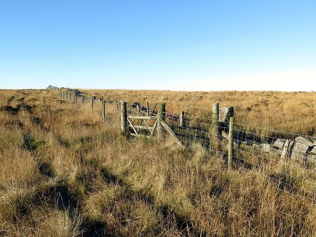
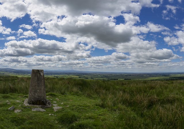
Ash Moss Plantation offers visitors a unique opportunity to immerse themselves in the beauty of nature. Hiking trails wind through the forest, offering stunning views of the moss-covered landscape and the chance to encounter some of the region's wildlife. The plantation also hosts educational programs and guided tours, allowing visitors to learn about the importance of forest conservation and the plantation's role in maintaining the delicate balance of the ecosystem.

In conclusion, Ash Moss Plantation is a magnificent woodland estate in Cumberland, renowned for its lush ash trees and moss-covered forest floor. Its rich history and commitment to conservation make it a destination of choice for nature enthusiasts and those seeking a tranquil retreat amidst the beauty of nature.

If you have any feedback on the listing, please let us know in the comments section below.

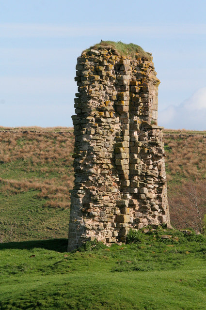
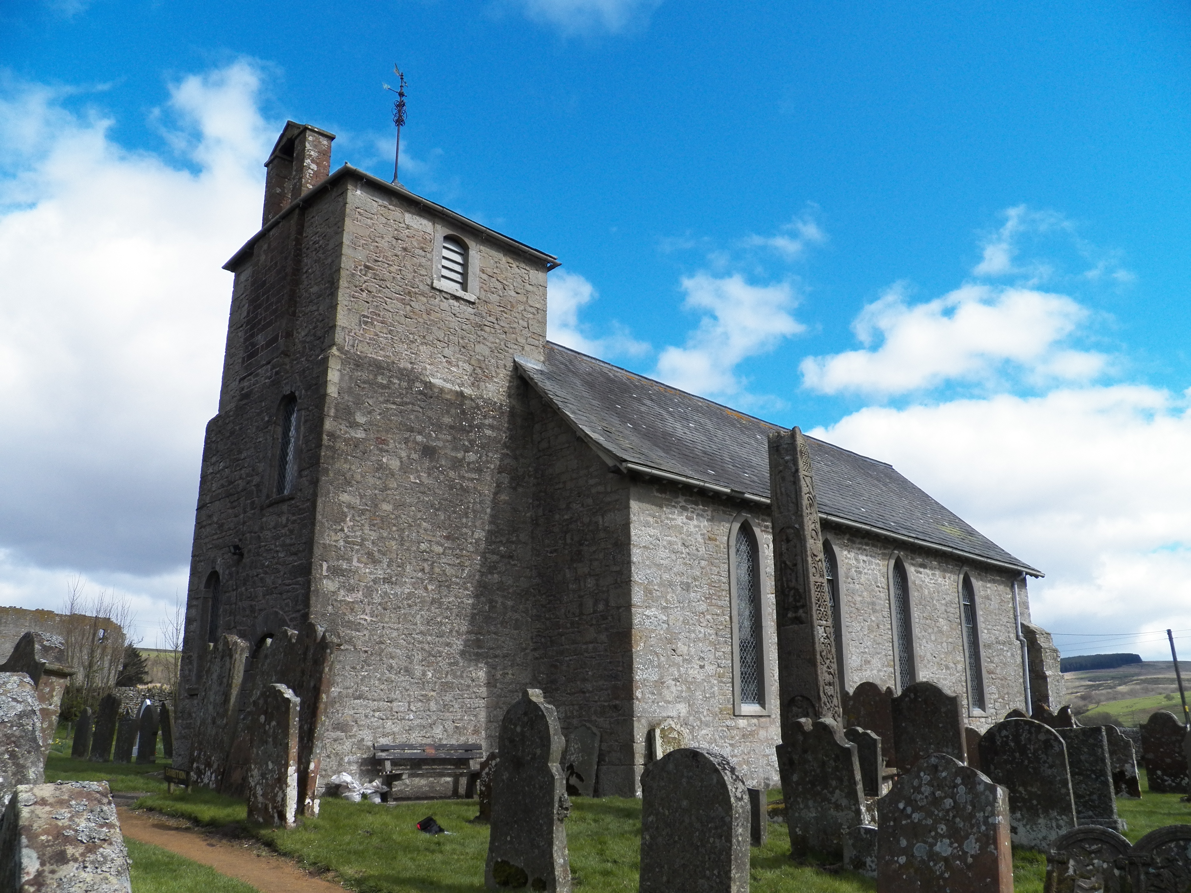
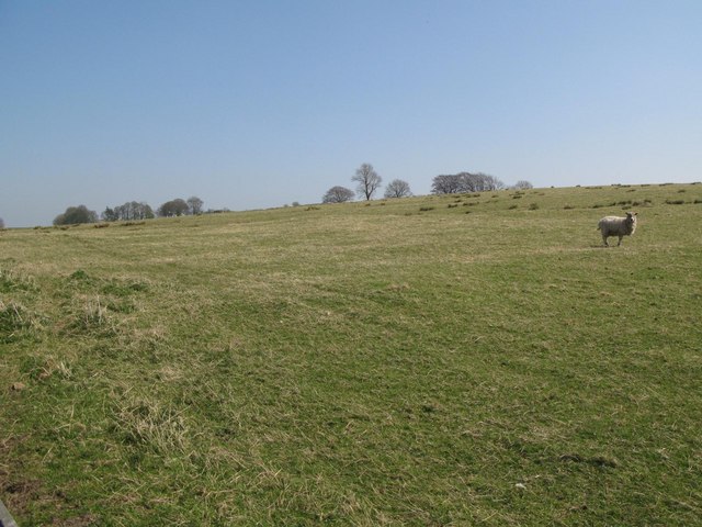
Ash Moss Plantation Images

Images are sourced within 2km of 55.024139/-2.6530903 or Grid Reference NY5870. Thanks to Geograph Open Source API. All images are credited.

Bridleway in Dumblar Rigg Plantation Little-trodden by hoof or foot by the look of it.
Bridleway in Dumblar Rigg Plantation
Little-trodden by hoof or foot by the look of it.
Green's Burn A moorland stream, tributary of Cam Beck which feeds into the River Irthing.
Green's Burn
A moorland stream, tributary of Cam Beck which feeds into the River Irthing.
The valley of Green's Burn Following the line of the invisible public footpath to a crossing of the burn in its lightly wooded valley.
The valley of Green's Burn
Following the line of the invisible public footpath to a crossing of the burn in its lightly wooded valley.
Path above Green's Burn The burn is shielded from view by a plantation of tall conifers.
Path above Green's Burn
The burn is shielded from view by a plantation of tall conifers.
Black Cattle on Ash Moss Rough grazing on the appropriately-named (the solitary tree is an ash) patch of moorland by Spadeadam Plantation.
Black Cattle on Ash Moss
Rough grazing on the appropriately-named (the solitary tree is an ash) patch of moorland by Spadeadam Plantation.
The Beacon A list of beacons in Cumberland in the fifteenth century includes "Spadeadam Top, now known as Gillalees Beacon". Irregular traces of foundations were described in 1854 but nothing can be seen today. The OS triangulation pillar is set on top of a turf-covered earth and stone mound about 7.0m diameter and 0.6m maximum height and the medieval remains of the beacon may lie below.
Pastscape Monument No. 12969: <span class="nowrap"><a title="http://www.pastscape.org.uk/hob.aspx?hob_id=12969" rel="nofollow ugc noopener" href="http://www.pastscape.org.uk/hob.aspx?hob_id=12969">Link</a><img style="margin-left:2px;" alt="External link" title="External link - shift click to open in new window" src="https://s1.geograph.org.uk/img/external.png" width="10" height="10"/></span> <span class="nowrap"><a title="https://web.archive.org/web/20170221114929/http://www.pastscape.org.uk/hob.aspx?hob_id=12969" rel="nofollow ugc noopener" href="https://web.archive.org/web/20170221114929/http://www.pastscape.org.uk/hob.aspx?hob_id=12969">Archive Link</a><img style="margin-left:2px;" alt="External link" title="External link - shift click to open in new window" src="https://s1.geograph.org.uk/img/external.png" width="10" height="10"/></span>
The Beacon
A list of beacons in Cumberland in the fifteenth century includes "Spadeadam Top, now known as Gillalees Beacon". Irregular traces of foundations were described in 1854 but nothing can be seen today. The OS triangulation pillar is set on top of a turf-covered earth and stone mound about 7.0m diameter and 0.6m maximum height and the medieval remains of the beacon may lie below. Pastscape Monument No. 12969: LinkExternal link Archive LinkExternal link
The Butt near Gillalees Beacon Also known as 'Robin Hood's Butt' (a possible reference to Robin Hood's Well nearby) this feature is known to be the remains of a Roman Signal Station, situated on the west side of the Maiden Way Roman Road between Birdoswald and Bewcastle.  It survives as a turf-covered mound, 13 m across and up to 1.9 m high, in the top of which can be seen traces of the structure of the tower. Estimates of the volume of tumbled stone around the tower suggest that it may have stood to a height of 6.1 m.

Traces of a ditch surrounding the mound on the north and east sides are difficult to see on the ground, as is the Roman Road.

It was suggested that signals from here "could be seen at Birdoswald or on the Wall, but not by the enemy to the north, so that a surprise move could be prepared in terrain well adapted to ambush". It is not in line of sight to the Roman Fort at Birdoswald but it is now thought that signals could have been relayed from another Signal Station on Barron's Pike <a href="https://www.geograph.org.uk/gridref/NY5975">NY5975</a>
Pastscape: <span class="nowrap"><a title="http://www.pastscape.org.uk/hob.aspx?hob_id=12986" rel="nofollow ugc noopener" href="http://www.pastscape.org.uk/hob.aspx?hob_id=12986">Link</a><img style="margin-left:2px;" alt="External link" title="External link - shift click to open in new window" src="https://s1.geograph.org.uk/img/external.png" width="10" height="10"/></span> <span class="nowrap"><a title="https://web.archive.org/web/20170222081919/http://www.pastscape.org.uk/hob.aspx?hob_id=12986" rel="nofollow ugc noopener" href="https://web.archive.org/web/20170222081919/http://www.pastscape.org.uk/hob.aspx?hob_id=12986">Archive Link</a><img style="margin-left:2px;" alt="External link" title="External link - shift click to open in new window" src="https://s1.geograph.org.uk/img/external.png" width="10" height="10"/></span>
The Butt near Gillalees Beacon
Also known as 'Robin Hood's Butt' (a possible reference to Robin Hood's Well nearby) this feature is known to be the remains of a Roman Signal Station, situated on the west side of the Maiden Way Roman Road between Birdoswald and Bewcastle. It survives as a turf-covered mound, 13 m across and up to 1.9 m high, in the top of which can be seen traces of the structure of the tower. Estimates of the volume of tumbled stone around the tower suggest that it may have stood to a height of 6.1 m. Traces of a ditch surrounding the mound on the north and east sides are difficult to see on the ground, as is the Roman Road. It was suggested that signals from here "could be seen at Birdoswald or on the Wall, but not by the enemy to the north, so that a surprise move could be prepared in terrain well adapted to ambush". It is not in line of sight to the Roman Fort at Birdoswald but it is now thought that signals could have been relayed from another Signal Station on Barron's Pike NY5975 Pastscape: LinkExternal link Archive LinkExternal link
North-east from The Butt A featureless boggy moorland area called Caudbeck Flow, bounded on the east side by the forest plantations that hide the Spadeadam military site. There is a description of The Butt here <a href="https://www.geograph.org.uk/photo/5208930">NY5771 : The Butt near Gillalees Beacon</a>
North-east from The Butt
A featureless boggy moorland area called Caudbeck Flow, bounded on the east side by the forest plantations that hide the Spadeadam military site. There is a description of The Butt here NY5771 : The Butt near Gillalees Beacon
Bridleway near The Beacon The rickety gates through the double wire fence mark the passage through the boundary of an otherwise unseen bridleway. The recent double tracks of farmer's four-wheeled vehicles seem much more tempting but sadly go the wrong way and I leave their comfort for partly frozen bog.
Bridleway near The Beacon
The rickety gates through the double wire fence mark the passage through the boundary of an otherwise unseen bridleway. The recent double tracks of farmer's four-wheeled vehicles seem much more tempting but sadly go the wrong way and I leave their comfort for partly frozen bog.
The Beacon Trig Point
The Beacon
Trig Point
RAF Spadeadam - Prior Lancy View roughly south west from the roof of the engine testing control bunker.
RAF Spadeadam - Prior Lancy
View roughly south west from the roof of the engine testing control bunker.
Spadeadam Farm
Spadeadam Farm
Public bridleway to Moscow This <a href="https://www.geograph.org.uk/photo/891635">NY6268 : Moscow</a>.
Public bridleway to Moscow
Barns at Spadeadam Farm Shows the location of <a href="https://www.geograph.org.uk/photo/2656060">NY5870 : Public bridleway to Moscow</a>.
Barns at Spadeadam Farm
Shows the location of NY5870 : Public bridleway to Moscow.
Rough pastures south of Spadeadam Farm
Rough pastures west of Spadeadam Plantation
Rough pastures west of Milking Hill
Ash Moss
Ash Moss
Show me another place!

Ash Moss Plantation is located at Grid Ref: NY5870 (Lat: 55.024139, Lng: -2.6530903)

Administrative County: Cumbria

District: Carlisle

Police Authority: Cumbria

What 3 Words

///compiler.strides.quality. Near Brampton, Cumbria

Related Wikis

Nearby Amenities

Located within 500m of 55.024139,-2.6530903
Ford: yes
Lat/Long: 55.0237752/-2.6600592
Power: pole
Lat/Long: 55.0198032/-2.6531339
Power: pole
Lat/Long: 55.0199543/-2.6514643
Power: pole
Lat/Long: 55.020093/-2.6499383
Power: pole
Lat/Long: 55.0243817/-2.6597911
Power: pole
Lat/Long: 55.0248211/-2.6583586
Power: pole
Lat/Long: 55.0252701/-2.6568973
Power: pole
Lat/Long: 55.025715/-2.6554241
Power: pole
Lat/Long: 55.0261585/-2.6539604
Power: pole
Lat/Long: 55.026922/-2.6526524
Power: pole
Lat/Long: 55.0276854/-2.6513804
The data included in this document is from www.openstreetmap.org. The data is made available under ODbL.

Have you been to Ash Moss Plantation?

Leave your review of Ash Moss Plantation below (or comments, questions and feedback).