Big Wood
Wood, Forest in Cheshire
England
Big Wood
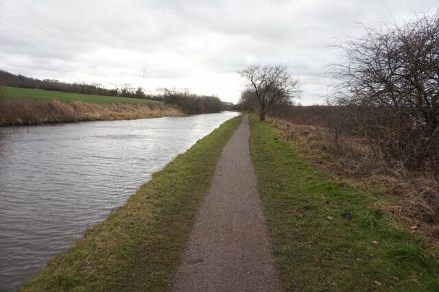
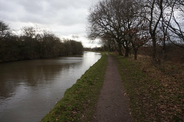
Big Wood is a picturesque forest located in the county of Cheshire, in the north-west of England. Covering an area of approximately 500 acres, this enchanting woodland is a haven for nature enthusiasts and outdoor lovers alike.
The forest is characterized by its dense canopy of towering trees, primarily consisting of oak, birch, and beech. These majestic trees create a serene and peaceful atmosphere, providing shade during the hot summer months and a vibrant display of colors during the autumn season.
Big Wood is home to a diverse range of flora and fauna. Wildflowers such as bluebells, primroses, and wood anemones carpet the forest floor, creating a stunning display of colors in the springtime. The wood is also a sanctuary for a variety of bird species, including woodpeckers, owls, and thrushes, filling the air with their melodious songs.
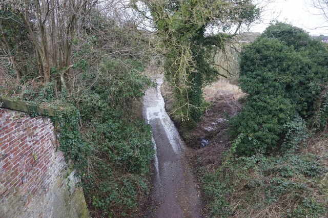
For visitors looking to explore the wood, there are numerous trails and pathways that wind their way through the forest, offering opportunities for leisurely walks, hiking, and cycling. These paths provide access to the wood's hidden gems, such as tranquil ponds and meandering streams, perfect for picnics or simply immersing oneself in nature.
Big Wood's proximity to nearby villages and towns makes it easily accessible to visitors. It is a popular destination for families, nature photographers, and those seeking a peaceful retreat from the hustle and bustle of everyday life. Whether it's a leisurely stroll, birdwatching, or simply enjoying the beauty of untouched nature, Big Wood offers a truly enchanting experience for all who visit.
If you have any feedback on the listing, please let us know in the comments section below.
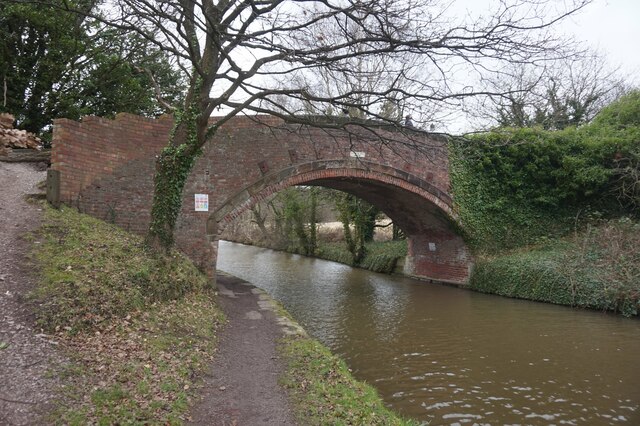
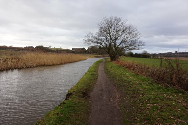
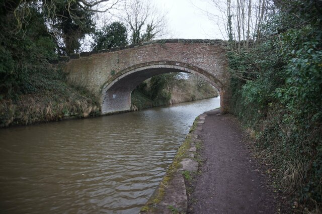
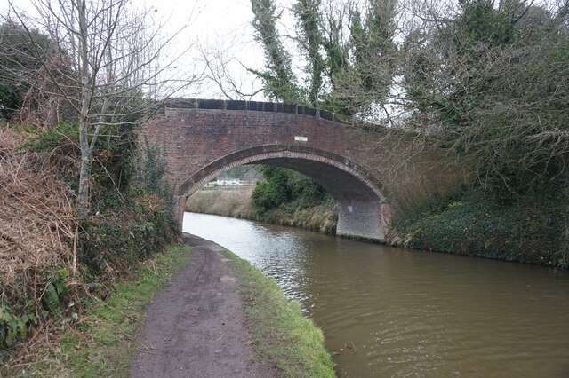
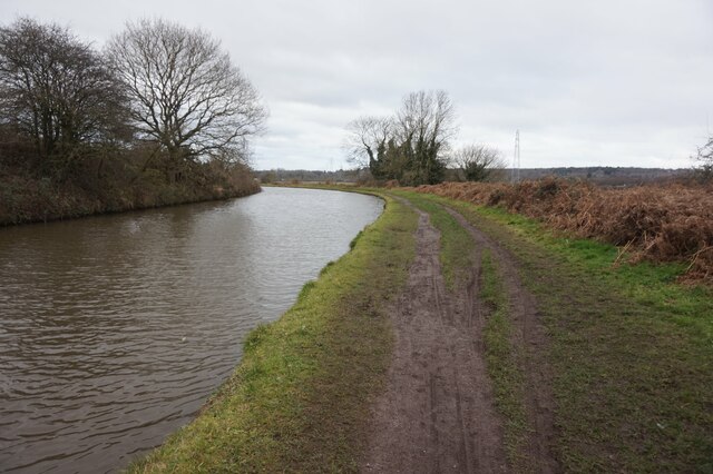
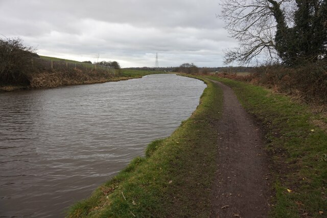
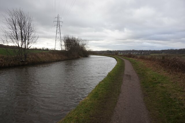
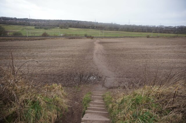
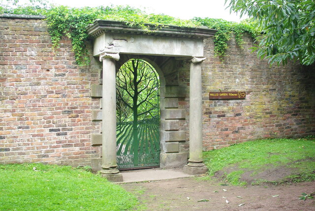
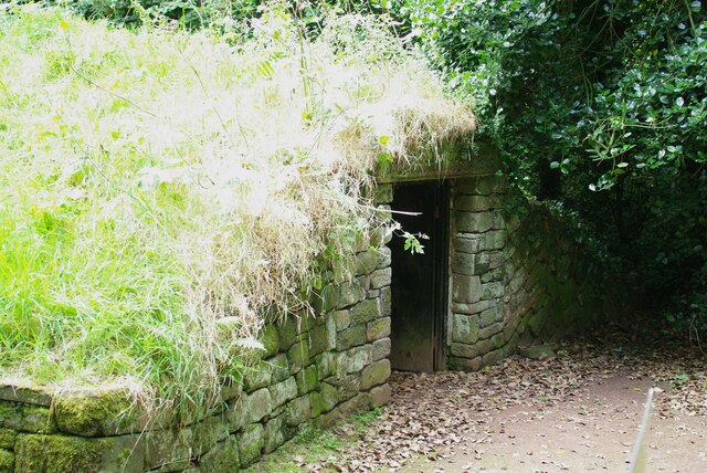
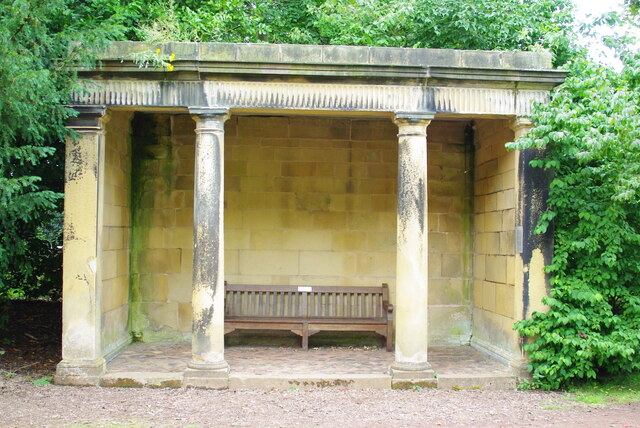
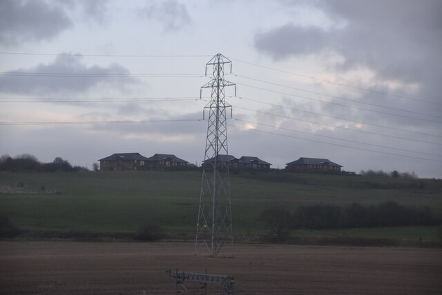
Big Wood Images
Images are sourced within 2km of 53.342255/-2.6735112 or Grid Reference SJ5583. Thanks to Geograph Open Source API. All images are credited.

Big Wood is located at Grid Ref: SJ5583 (Lat: 53.342255, Lng: -2.6735112)
Unitary Authority: Halton
Police Authority: Cheshire
What 3 Words
///script.punch.chew. Near Daresbury, Cheshire
Nearby Locations
Related Wikis

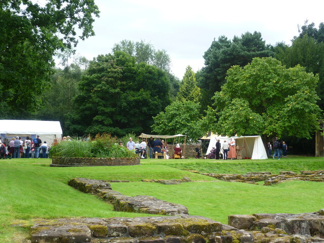
Norton Priory
Norton Priory is a historic site in Norton, Runcorn, Cheshire, England, comprising the remains of an abbey complex dating from the 12th to 16th centuries...

Fountains Wood
Fountains Wood is a woodland in Cheshire, England, near Runcorn. It covers a total area of 1.08 hectares (2.67 acres). It is owned and managed by the Woodland...

Red Lodge, Norton
Red Lodge, is in Manor Farm Road, Norton, Runcorn, Cheshire, England. Built originally as a lodge at the entrance to the estate of Norton Priory, it was...

Sandymoor
Sandymoor is a civil parish in Runcorn, Halton, Cheshire, England, with a population of approximately 3,700. The majority of housing in Sandymoor was built...
Nearby Amenities
Located within 500m of 53.342255,-2.6735112Have you been to Big Wood?
Leave your review of Big Wood below (or comments, questions and feedback).