Oak Gill Wood

Wood, Forest in Westmorland Eden

England

Oak Gill Wood

Ford, Melkinthorpe A shallow crossing of the River Leith.
Ford, Melkinthorpe Credit: Andrew Smith

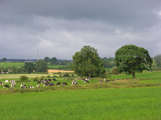
Oak Gill Wood is a picturesque forest located in Westmorland, a county in the northwest of England. Covering an area of approximately 100 acres, the woodland is known for its abundant oak trees, which give the forest its name. It is a popular destination for nature enthusiasts and hikers due to its tranquil atmosphere and diverse wildlife.

The forest is characterized by its dense canopy of tall oak trees, which provide shade and shelter to a variety of plant and animal species. The woodland floor is covered in a thick layer of leaf litter, creating a natural carpet of decaying vegetation. This rich organic matter supports a wide range of flora, including bluebells, wood sorrel, and ferns. Additionally, the forest is home to various bird species, such as woodpeckers, owls, and thrushes, which can be heard singing their melodic tunes throughout the day.

Visitors to Oak Gill Wood can explore the forest through a network of well-maintained trails, allowing them to immerse themselves in the natural beauty of the area. The paths wind through the trees, offering glimpses of sunlight filtering through the leaves and creating a magical atmosphere. Along the way, there are several picnic spots and benches where visitors can rest and enjoy the peaceful surroundings.

Overall, Oak Gill Wood is a captivating woodland that showcases the beauty of nature in Westmorland. Its ancient oak trees, diverse flora, and abundant wildlife make it a must-visit destination for those seeking a serene and enchanting forest experience.

If you have any feedback on the listing, please let us know in the comments section below.

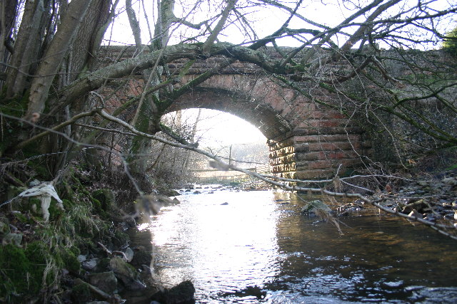
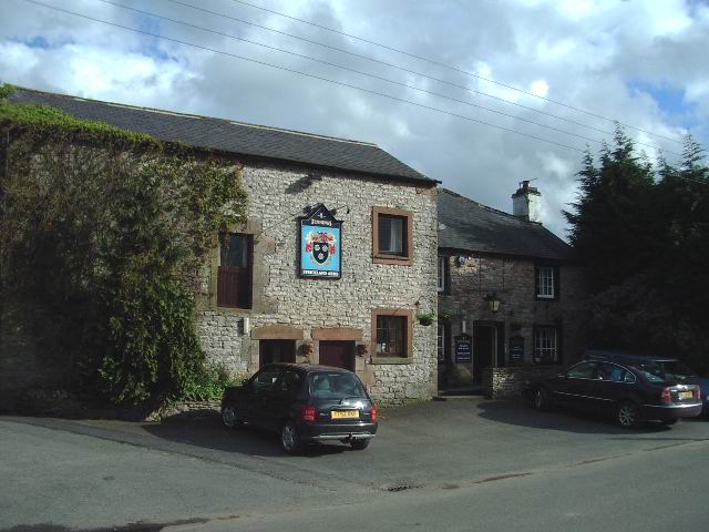
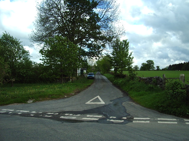
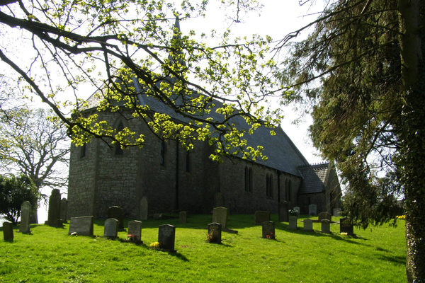
Oak Gill Wood Images

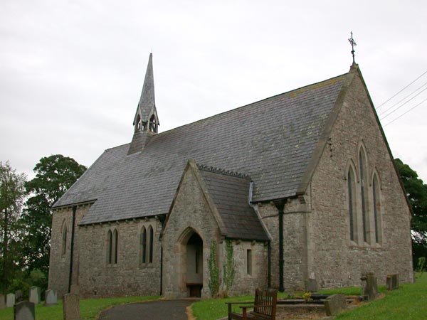
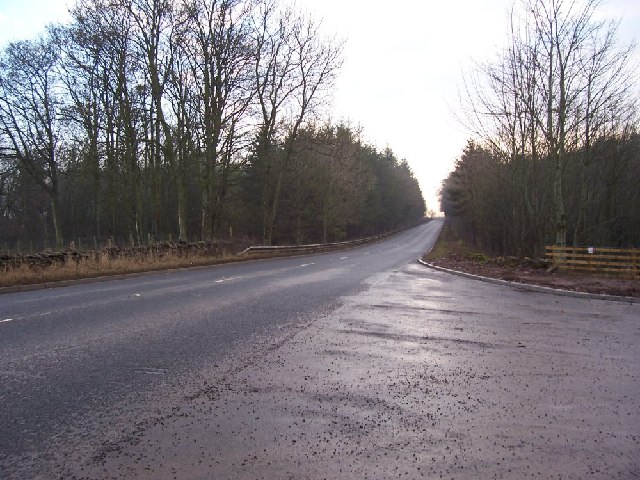
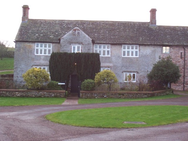
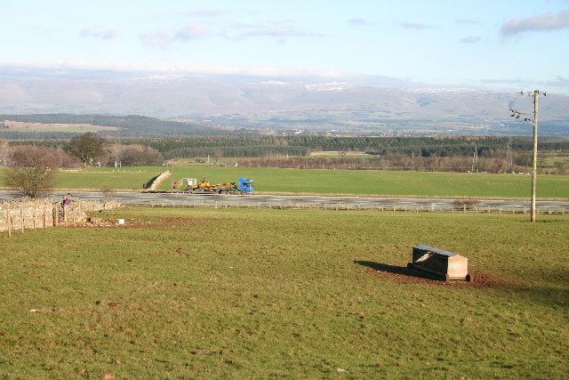
Images are sourced within 2km of 54.604469/-2.6941413 or Grid Reference NY5523. Thanks to Geograph Open Source API. All images are credited.

Ford, Melkinthorpe A shallow crossing of the River Leith.
Ford, Melkinthorpe
A shallow crossing of the River Leith.
Model Village, Lowther These estate houses were built in 1773 after drawings for a 'model' village by Robert Adam.  They were (in 2002) being modernised for a housing association, reducing the number of dwellings.
Model Village, Lowther
These estate houses were built in 1773 after drawings for a 'model' village by Robert Adam. They were (in 2002) being modernised for a housing association, reducing the number of dwellings.
St Barnabas' Church, Great Strickland St Barnabas' Church in the village of Great Strickland
St Barnabas' Church, Great Strickland
St Barnabas' Church in the village of Great Strickland
New Entrance to Development. The old quarry is being used for a new development and the entrance opens onto the A6.
New Entrance to Development.
The old quarry is being used for a new development and the entrance opens onto the A6.
Hackthorpe Hall. Presumably linked to agriculture this area has developed into an out of town business development.
Hackthorpe Hall.
Presumably linked to agriculture this area has developed into an out of town business development.
M6 under the A6. I hope you agree this has produced an unusual photograph.
M6 under the A6.
I hope you agree this has produced an unusual photograph.
M6 at Hackthorpe Until its construction, all the traffic passed through the village on the A6.
M6 at Hackthorpe
Until its construction, all the traffic passed through the village on the A6.
Bridleway to Melkinthorpe Taken from Airygill Lane
Bridleway to Melkinthorpe
Taken from Airygill Lane
Waterfalls Bridge Waterfalls Road crosses the River Leith.
Waterfalls Bridge
Waterfalls Road crosses the River Leith.
Ice Cream Farm Abbott Lodge Farm has not so much diversified as specialized; its milk is used to make icecream, sold at source. A car park, shop and children's playground help bring in customers. The sign presumably refers to drivers and not overindulged children.
Ice Cream Farm
Abbott Lodge Farm has not so much diversified as specialized; its milk is used to make icecream, sold at source. A car park, shop and children's playground help bring in customers. The sign presumably refers to drivers and not overindulged children.
Strickland Arms, Great Stricklands
Inmoor Road, Great Stricklands
Junction, on the Great Strickland to Morland road The road to the left goes to Street House and then on to Cliburn. The white post to the left of the finger sign post is a depth gauge it would seem that there is a flooding problem here.
Junction, on the Great Strickland to Morland road
The road to the left goes to Street House and then on to Cliburn. The white post to the left of the finger sign post is a depth gauge it would seem that there is a flooding problem here.
Serious Problem Problem? what problem, the flood gauge only reads up to 6ft, you will still be able to see which way to go in the boat, the signpost is 7ft high.
Serious Problem
Problem? what problem, the flood gauge only reads up to 6ft, you will still be able to see which way to go in the boat, the signpost is 7ft high.
Great Strickland Church Church with an unusual wooden bell tower.
Great Strickland Church
Church with an unusual wooden bell tower.
Stile on a footpath to Melkinthorpe Wood
Edge of Melkinthorpe Wood Taken from the footpath from Melkinthorpe to Great Strickland.
Edge of Melkinthorpe Wood
Taken from the footpath from Melkinthorpe to Great Strickland.
The Lowther Castle, Hackthorpe
Show me another place!

Oak Gill Wood is located at Grid Ref: NY5523 (Lat: 54.604469, Lng: -2.6941413)

Administrative County: Cumbria

District: Eden

Police Authority: Cumbria

What 3 Words

///petulant.jukebox.scanning. Near Penrith, Cumbria

Related Wikis

Leath

Leath was one of the wards of the historic county of Cumberland in north west England. Unlike most other English counties, Cumberland was divided into...

Hackthorpe

Hackthorpe is a hamlet in the Eden district, in the county of Cumbria, England. Circa 1870, it had a population of 110 as recorded in the Imperial Gazetteer...

Great Strickland

Great Strickland is a village and civil parish in the Eden Valley between the Cumbrian mountains in the west and the Pennines in the east. It is 5 miles...

Melkinthorpe

Melkinthorpe is a hamlet in the civil parish of Lowther, in the Eden district, in the county of Cumbria, England. It is near the villages of Hackthorpe...

Nearby Amenities

Located within 500m of 54.604469,-2.6941413
Power: tower
Lat/Long: 54.6056981/-2.698645
Design: three-level
Power: tower
Lat/Long: 54.6075975/-2.6984072
Power: tower
Lat/Long: 54.6026097/-2.6969265
Design: three-level
Power: tower
Lat/Long: 54.6026619/-2.6957571
Design: three-level
Power: tower
Lat/Long: 54.6053961/-2.6972697
Power: pole
Lat/Long: 54.6005484/-2.697047
Power: pole
Lat/Long: 54.6012662/-2.6975083
Power: pole
Lat/Long: 54.6021456/-2.6980126
Power: pole
Lat/Long: 54.603084/-2.6985437
Power: pole
Lat/Long: 54.6036899/-2.698887
Power: pole
Lat/Long: 54.6043549/-2.6992732
Power: pole
Lat/Long: 54.6051208/-2.7000403
Power: pole
Lat/Long: 54.600971/-2.6927662
Power: pole
Lat/Long: 54.6013051/-2.6941797
Power: pole
Lat/Long: 54.6016811/-2.6957917
Power: pole
Lat/Long: 54.6018831/-2.6967278
Power: pole
Lat/Long: 54.6027733/-2.6975915
Power: pole
Lat/Long: 54.6035657/-2.6982728
Power: pole
Lat/Long: 54.6044357/-2.6991016
Power: pole
Lat/Long: 54.605329/-2.6999277
Power: pole
Lat/Long: 54.6058805/-2.7008343
Power: pole
Lat/Long: 54.6062036/-2.7007055
The data included in this document is from www.openstreetmap.org. The data is made available under ODbL.

Have you been to Oak Gill Wood?

Leave your review of Oak Gill Wood below (or comments, questions and feedback).