Long Wood
Wood, Forest in Lancashire Wyre
England
Long Wood

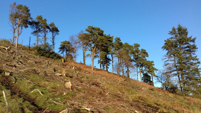
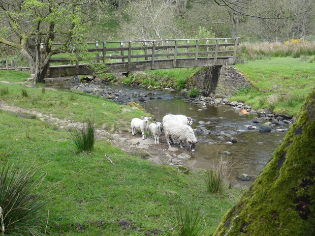
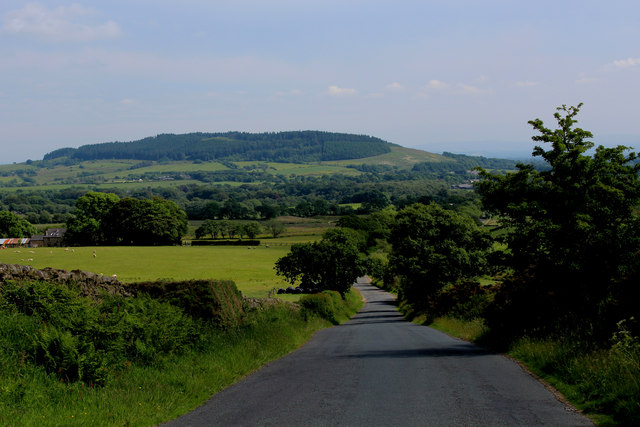
Long Wood is a densely forested area located in Lancashire, England. Stretching across a vast expanse of approximately 200 acres, it is considered one of the largest woodland areas in the region. The wood is characterized by a mixture of broadleaf and coniferous trees, creating a diverse and picturesque landscape.
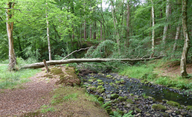
The wood is situated in a rural setting, offering a tranquil retreat from the bustling city life. It is a popular destination for nature enthusiasts, hikers, and wildlife observers due to its rich biodiversity. Within the wood, visitors can find numerous species of plants, fungi, and animals, including deer, squirrels, and various bird species.
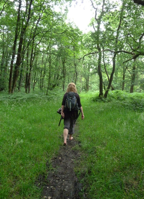
The wood is crisscrossed with a network of well-maintained footpaths, allowing visitors to explore its beauty at their leisure. These paths lead to hidden glades, secluded ponds, and picturesque viewpoints, providing opportunities for relaxation and contemplation. The wood also features several picnic areas and benches, making it an ideal spot for family outings and picnics.
Long Wood has a long history, with evidence of human habitation dating back centuries. It has served as a vital resource for the local community, providing timber for construction and fuel. Today, it continues to be managed sustainably, ensuring the preservation of its natural beauty for future generations to enjoy.
Overall, Long Wood, Lancashire is a captivating forested area that offers a peaceful escape into nature. Its diverse flora and fauna, coupled with its well-maintained paths and amenities, make it a must-visit destination for anyone seeking tranquility and natural beauty in the heart of Lancashire.
If you have any feedback on the listing, please let us know in the comments section below.
Long Wood Images
Images are sourced within 2km of 53.900843/-2.6824816 or Grid Reference SD5545. Thanks to Geograph Open Source API. All images are credited.


Long Wood is located at Grid Ref: SD5545 (Lat: 53.900843, Lng: -2.6824816)
Administrative County: Lancashire
District: Wyre
Police Authority: Lancashire
What 3 Words
///worthy.buyers.fixture. Near Catterall, Lancashire
Nearby Locations
Related Wikis
Calder Vale
Calder Vale is an English village, located on the edge of the Forest of Bowland in Lancashire. It lies on the River Calder in a deep valley with only...

Bleasdale
Bleasdale is a village and civil parish in the Wyre district of Lancashire, England, in the Forest of Bowland Area of Outstanding Natural Beauty. The two...
Oakenclough
Oakenclough () is an English hamlet located on the edge of the Forest of Bowland in Lancashire. Oakenclough is a small and scattered community, which appears...
Beacon Fell, Lancashire
Beacon Fell is a fell in the civil parish of Goosnargh in Lancashire, England. The high ground, which rises to 266 m (873 ft), has been a country park...

Barnacre-with-Bonds
Barnacre-with-Bonds is a civil parish in the Wyre district of Lancashire, England. According to the 2001 census it had a population of 1,751 increasing...

Claughton, Wyre
Claughton ( KLY-tən) is a sparse village and civil parish in the county of Lancashire in the north of England, in the Borough of Wyre. The population of...
Whitechapel, Lancashire
Whitechapel is a tiny hamlet in the civil parish of Goosnargh in Lancashire, England. It lies on the border of the Forest of Bowland near the foot of Beacon...

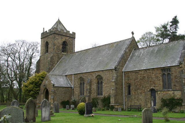
All Saints Church, Barnacre
All Saints Church is in Delph Lane, Barnacre-with-Bonds, Lancashire, England. It is an active Anglican parish church in the deanery of Garstang, the archdeaconry...
Nearby Amenities
Located within 500m of 53.900843,-2.6824816Have you been to Long Wood?
Leave your review of Long Wood below (or comments, questions and feedback).