Sandymoor
Civil Parish in Cheshire
England
Sandymoor
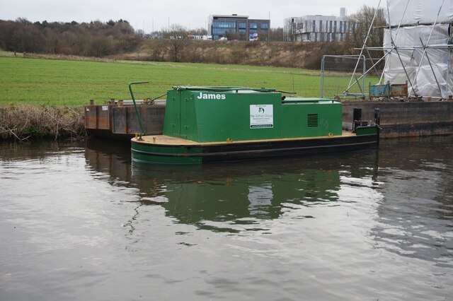
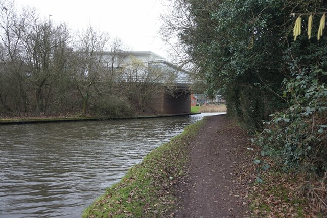
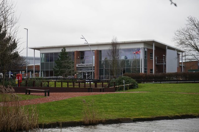
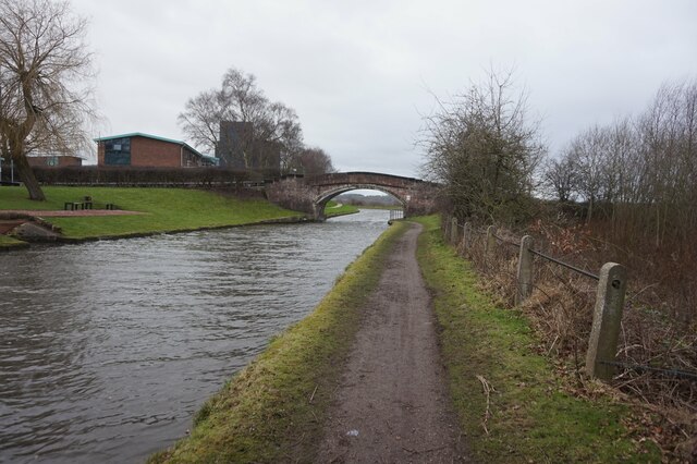
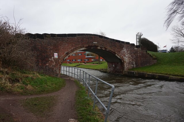
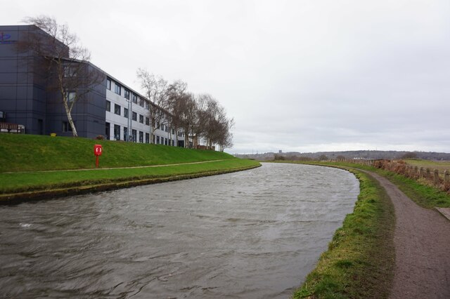
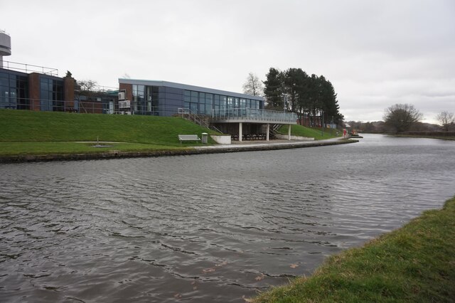
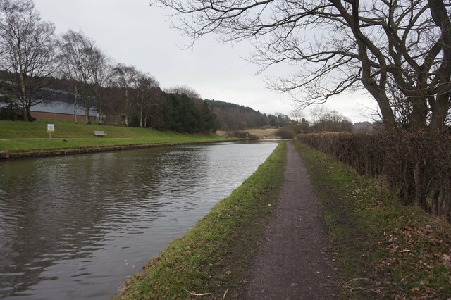
Sandymoor is a civil parish located in the borough of Halton, Cheshire, England. It is situated approximately 2 miles east of Runcorn and 15 miles southeast of Liverpool. The parish is bordered by the River Mersey to the north, and is surrounded by open countryside.
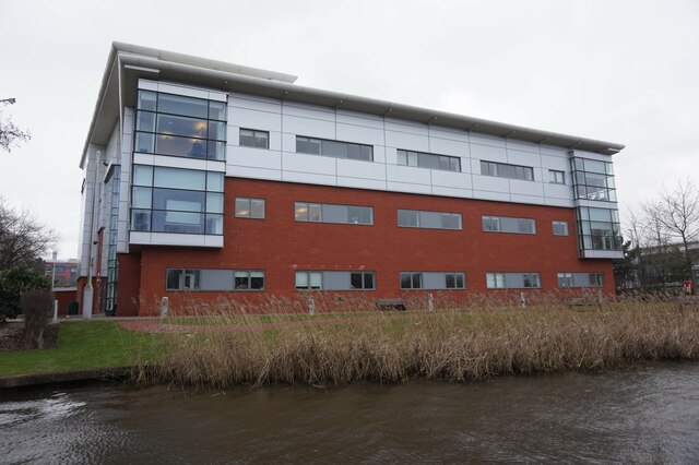
Sandymoor is a relatively new development, with construction beginning in the late 1990s. It is primarily a residential area, designed to provide housing for the growing population of Runcorn and the wider region. The architecture of the area is predominantly modern, with a mix of detached houses, townhouses, and apartments.
The parish is well-served by local amenities, including a primary school, a community center, and several parks and green spaces. There are also a variety of shops, restaurants, and other services within easy reach.
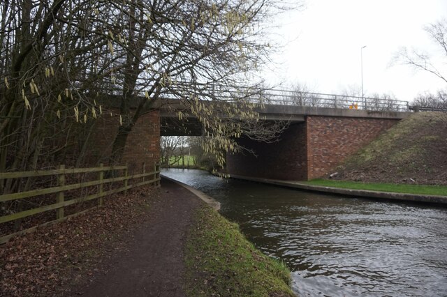
Transport links in Sandymoor are convenient, with easy access to major road networks such as the M56 and M62 motorways. The nearby Runcorn East railway station provides regular train services to Liverpool and Manchester, making it a popular location for commuters.
Sandymoor offers a peaceful and family-friendly environment, with a strong sense of community. The area is known for its well-maintained streets and green areas, providing residents with ample opportunities for outdoor activities and relaxation. Overall, Sandymoor is a desirable place to live, offering a high quality of life in a convenient and picturesque location.
If you have any feedback on the listing, please let us know in the comments section below.
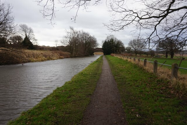
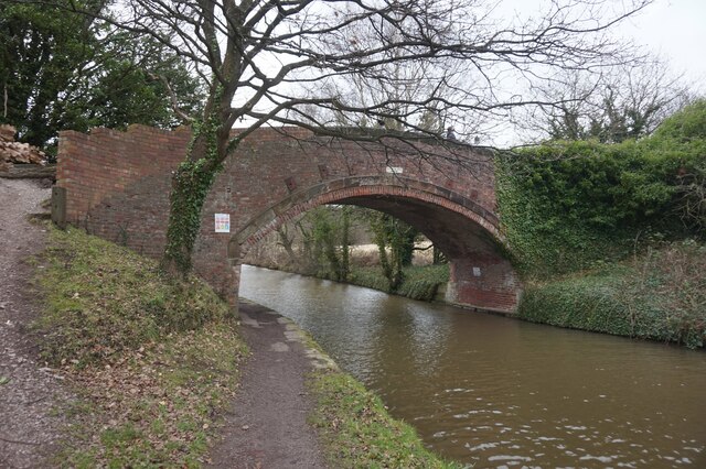
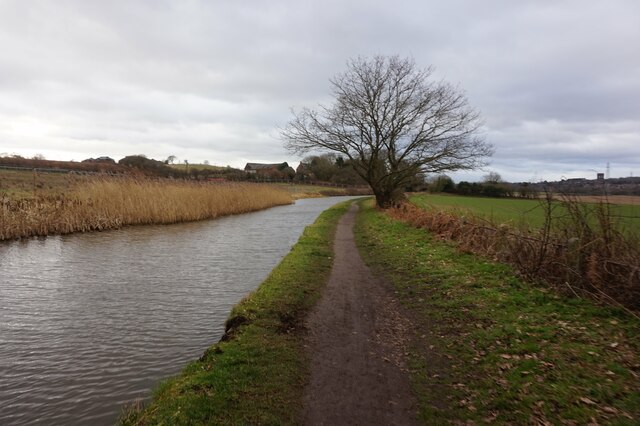
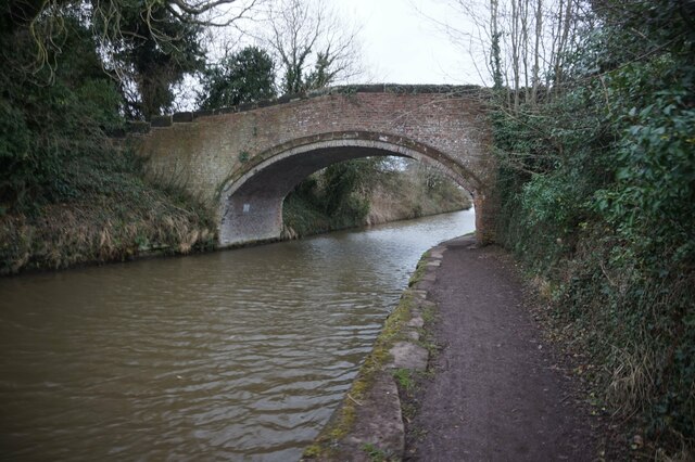
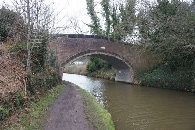
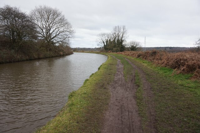
Sandymoor Images
Images are sourced within 2km of 53.348099/-2.668426 or Grid Reference SJ5583. Thanks to Geograph Open Source API. All images are credited.
Sandymoor is located at Grid Ref: SJ5583 (Lat: 53.348099, Lng: -2.668426)
Unitary Authority: Halton
Police Authority: Cheshire
What 3 Words
///runs.spit.scars. Near Daresbury, Cheshire
Nearby Locations
Related Wikis

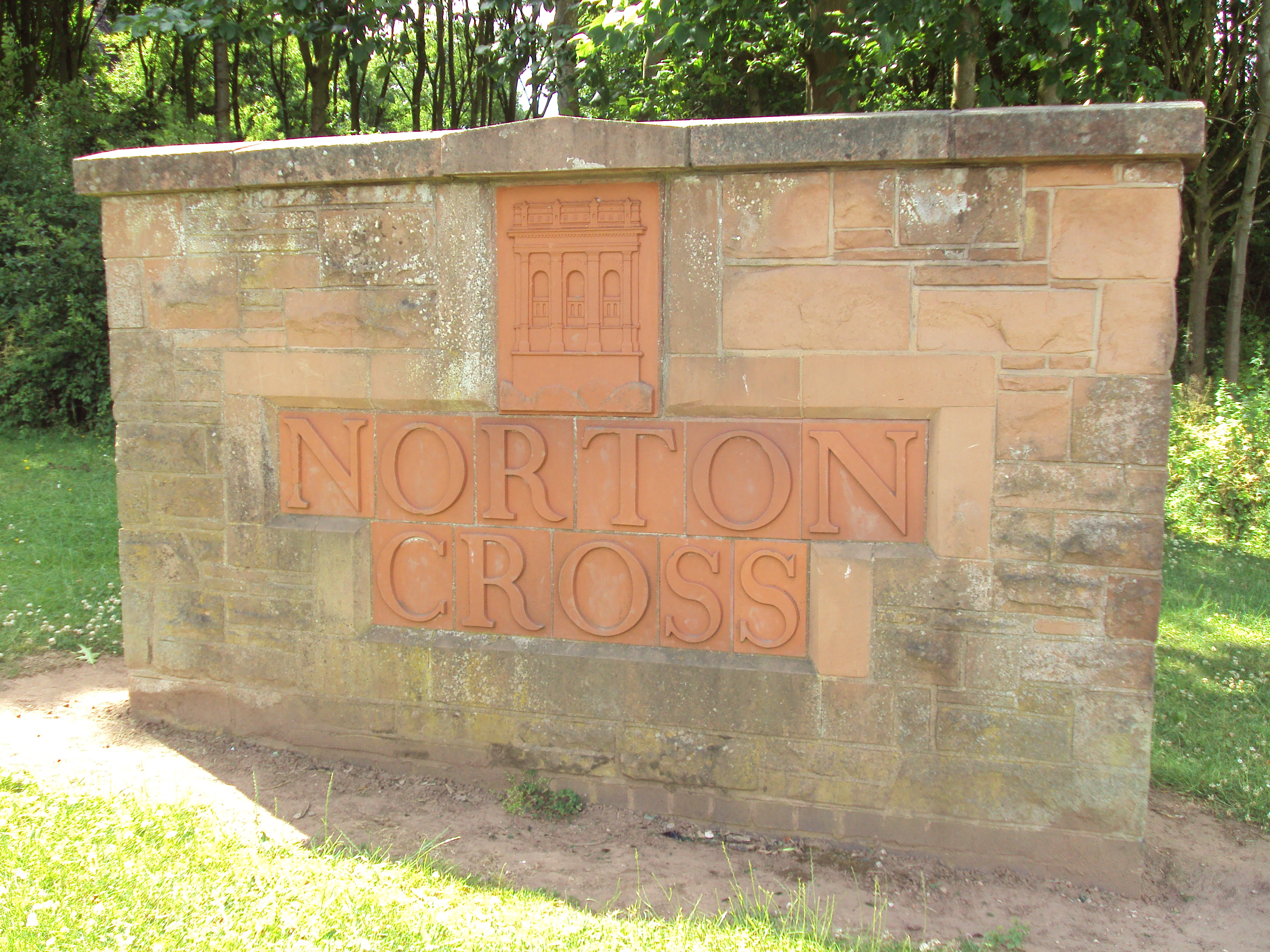
Red Lodge, Norton
Red Lodge, is in Manor Farm Road, Norton, Runcorn, Cheshire, England. Built originally as a lodge at the entrance to the estate of Norton Priory, it was...

Sandymoor
Sandymoor is a civil parish in Runcorn, Halton, Cheshire, England, with a population of approximately 3,700. The majority of housing in Sandymoor was built...

Norton Priory
Norton Priory is a historic site in Norton, Runcorn, Cheshire, England, comprising the remains of an abbey complex dating from the 12th to 16th centuries...

Sandymoor Ormiston Academy
Sandymoor Ormiston Academy is a coeducational secondary school and sixth form located in the Parish of Sandymoor, Runcorn, Cheshire, England. The school...

Fountains Wood
Fountains Wood is a woodland in Cheshire, England, near Runcorn. It covers a total area of 1.08 hectares (2.67 acres). It is owned and managed by the Woodland...
Keckwick
Keckwick is an area in the Borough of Halton in Cheshire. Although there is no village as such, numerous toponyms attest to a particular identity in the...
Norton, Runcorn
Norton is an area in the eastern part of the town of Runcorn, Cheshire, England. It was originally a separate village 3 miles (5 km) to the east of Runcorn...

Phoenix Park, Runcorn
Phoenix Park is a park in Runcorn, Cheshire, England. == History == Phoenix Park is part of the Mersey Forest, with a range of wildlife. The park is adjacent...
Nearby Amenities
Located within 500m of 53.348099,-2.668426Have you been to Sandymoor?
Leave your review of Sandymoor below (or comments, questions and feedback).