Santon Downham
Civil Parish in Suffolk West Suffolk
England
Santon Downham
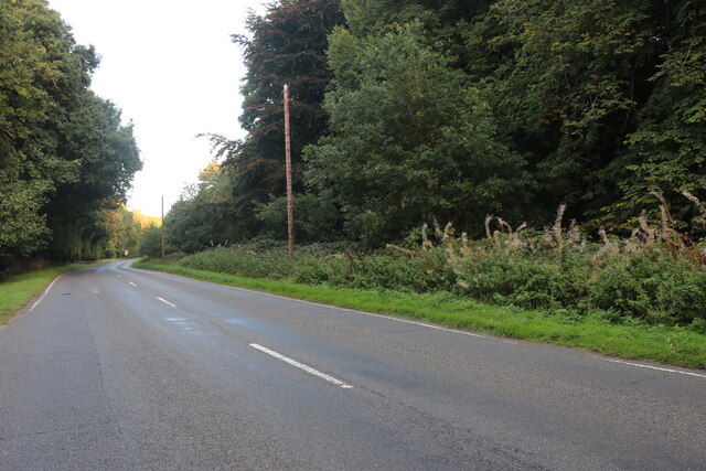
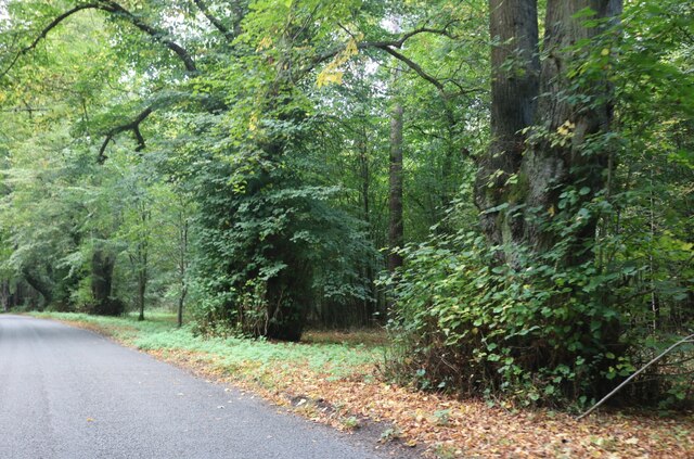
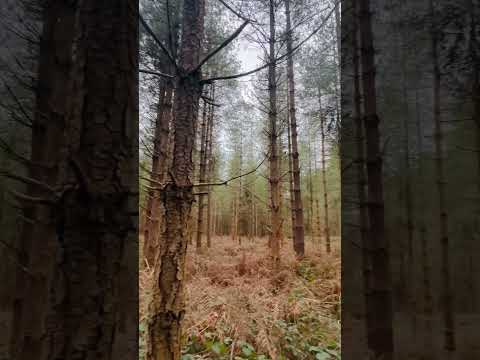
Santon Downham is a civil parish located in the county of Suffolk, England. It lies on the eastern bank of the River Little Ouse, within the district of West Suffolk. The village is situated amidst the picturesque Thetford Forest, which provides a stunning natural backdrop to the area.
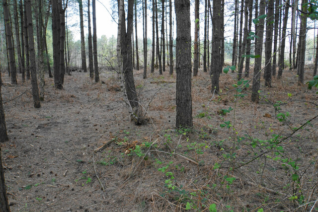
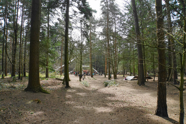
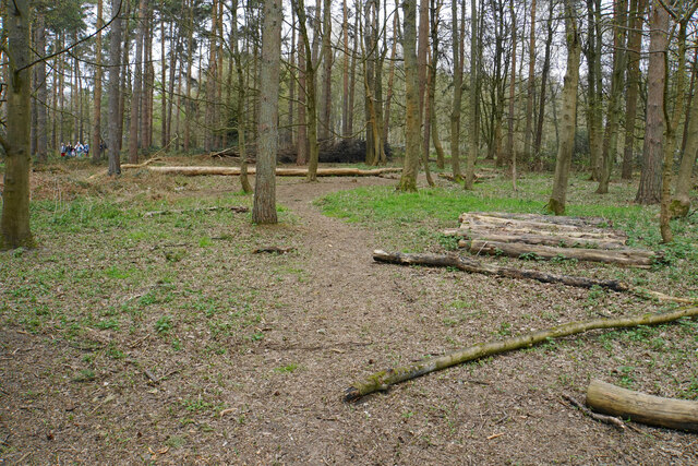
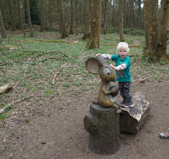
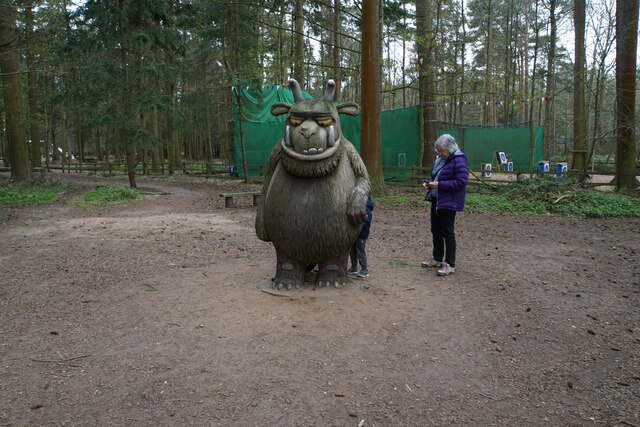
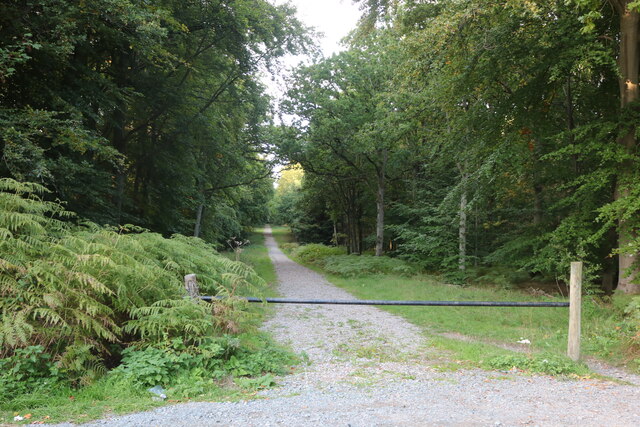
Santon Downham is known for its tranquil and rural ambiance, making it a popular destination for nature lovers and outdoor enthusiasts. The village offers a range of recreational activities, such as walking, cycling, and birdwatching. The forest trails and paths provide ample opportunities to explore the surrounding woodlands and discover the diverse wildlife that inhabits the area.
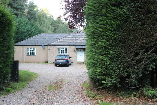
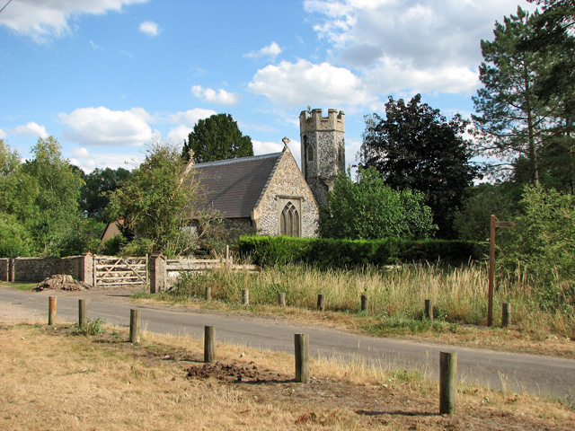
The parish is home to a small but close-knit community, with a population of approximately 200 residents. The village itself has a few amenities, including a village hall and a traditional pub, which serves as a social hub for locals and visitors alike. Additionally, there is a camping and caravanning site situated nearby, catering to tourists who wish to experience the tranquility of the area firsthand.
Historically, Santon Downham has ties to the military, as it was used as a training ground during World War II. The remnants of this era can still be seen in the form of old army huts and structures scattered throughout the village.
Overall, Santon Downham offers a peaceful and idyllic setting for those seeking a rural retreat, with its natural beauty and community spirit making it a charming destination in the heart of Suffolk.
If you have any feedback on the listing, please let us know in the comments section below.
Santon Downham Images
Images are sourced within 2km of 52.438303/0.673385 or Grid Reference TL8185. Thanks to Geograph Open Source API. All images are credited.


Santon Downham is located at Grid Ref: TL8185 (Lat: 52.438303, Lng: 0.673385)
Administrative County: Suffolk
District: West Suffolk
Police Authority: Suffolk
What 3 Words
///bunk.outlawing.slope. Near Weeting, Norfolk
Nearby Locations
Related Wikis
Santon, Norfolk
Santon is a depopulated village located near Santon Downham in Norfolk, England. Moated earthworks and other remains of the medieval village are a scheduled...

Santon Downham
Santon Downham is a village and civil parish in the West Suffolk district of Suffolk in eastern England. In 2005 it had a population of 240. The village...

St Helen's Church, Santon
St Helen's Church was a church located near Santon, Norfolk, England. Its site is a scheduled monument. It was no longer in existence by 1368.The church...

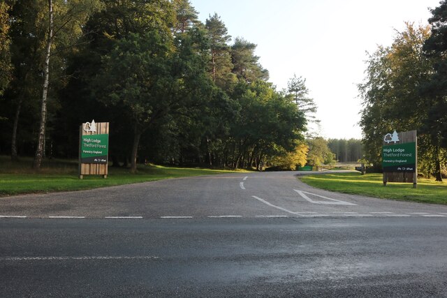
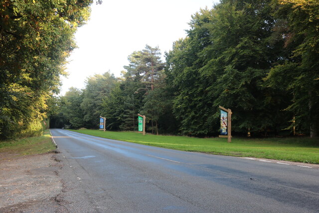
Thetford Forest
Thetford Forest is the largest lowland pine forest in Britain and is located in a region straddling the north of Suffolk and the south of Norfolk in England...

Thetford Golf Course and Marsh
Thetford Golf Course and Marsh is a 122.3-hectare (302-acre) biological Site of Special Scientific Interest on the western outskirts of Thetford in Norfolk...

Brandon Country Park
Brandon Country Park is a country park in Brandon, Suffolk, England. == History == In 1820 Edward Bliss bought Brandon Park house and grounds using wealth...

Brandon, Suffolk
Brandon is a town and civil parish in the English county of Suffolk. Brandon is located in the Breckland area of Suffolk, close to the adjoining county...

Brandon railway station
Brandon railway station is on the Breckland Line in the East of England, serving the town of Brandon, Suffolk, although the station is actually situated...
Related Videos

Hiking in Thetford Forest
Thetford is one of many forests that cover this green and pleasant land, we took a couple of days to explore just a little of what is ...

walk after work over at Santon Donwham.
Created by InShot:https://inshotapp.page.link/YTShare.

Santon Downham St Helen's Picnic Site - Walking in The Beautiful Village - English Countryside Walk
country #walking #countryside #englishcountryside #santondownham The perfect stop for a picnic and informative forest walk ...
Nearby Amenities
Located within 500m of 52.438303,0.673385Have you been to Santon Downham?
Leave your review of Santon Downham below (or comments, questions and feedback).