Blackthorn Belt
Wood, Forest in Suffolk West Suffolk
England
Blackthorn Belt
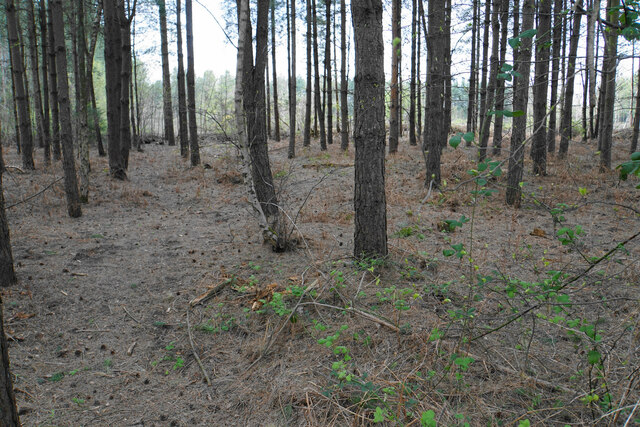
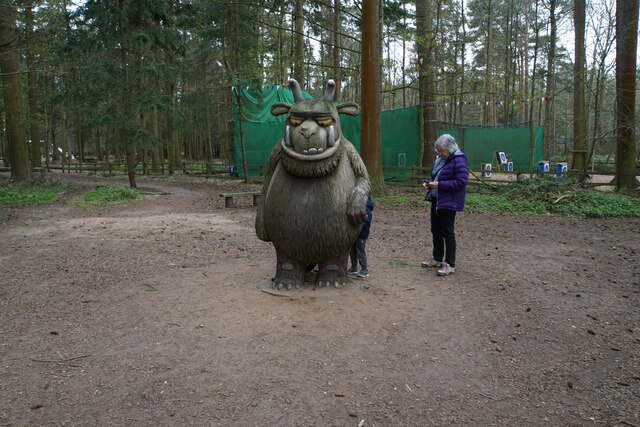
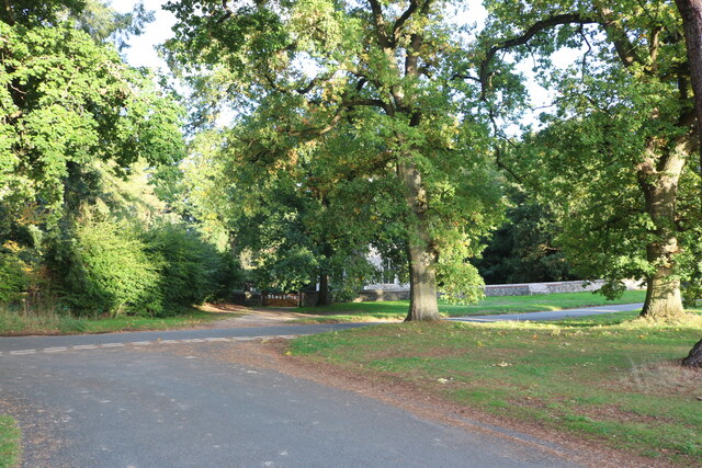
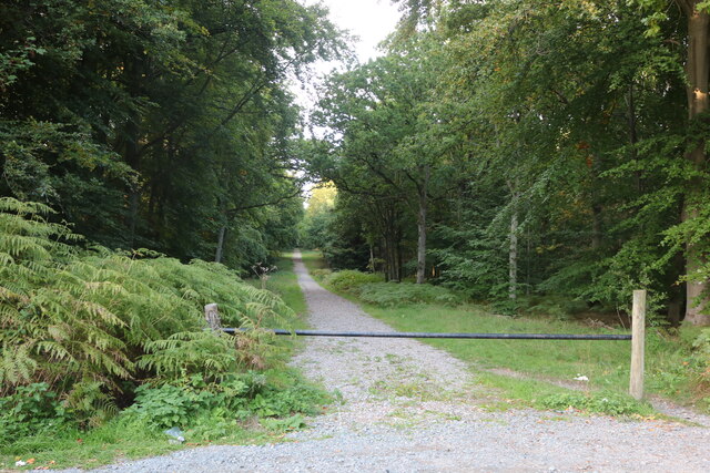
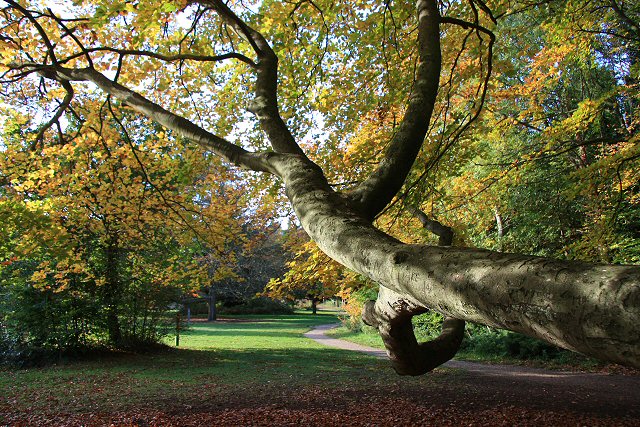
Blackthorn Belt, located in Suffolk, England, is a picturesque woodland area known for its dense forests filled with blackthorn trees. Spanning over several hectares, this enchanting belt of wood is a haven for nature lovers and outdoor enthusiasts alike.
The dominant feature of Blackthorn Belt is the abundant growth of blackthorn trees, which give the woodland its name. These trees, also known as Prunus spinosa, are native to the region and are characterized by their thorny branches and beautiful white blossoms that appear in early spring. The blackthorn trees provide important habitats for numerous bird species, making the area a popular destination for birdwatchers.
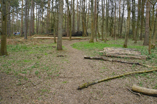
The forest floor of Blackthorn Belt is covered in a rich carpet of wildflowers, creating a vibrant and colorful display during the warmer months. Bluebells, primroses, and violets are just a few of the many species that flourish here, attracting a diverse range of insects and small mammals.
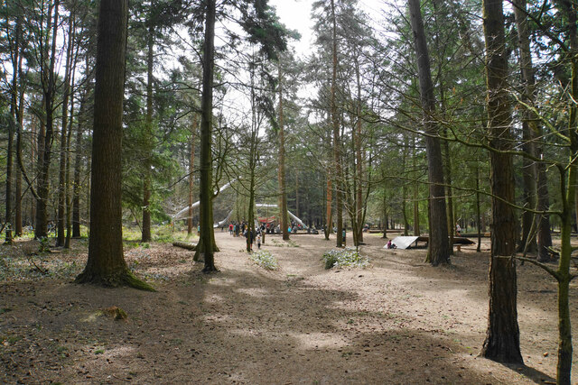
Visitors to Blackthorn Belt can explore a network of well-maintained walking trails that wind through the woodland, allowing them to fully immerse themselves in the natural beauty of the area. The trails offer opportunities to observe wildlife, listen to the sounds of nature, and breathe in the fresh air.
Overall, Blackthorn Belt in Suffolk is a captivating forested area renowned for its blackthorn trees, diverse flora, and abundant wildlife. Whether one seeks solitude, an escape into nature, or a chance to appreciate the wonders of the natural world, this woodland belt is sure to provide a memorable experience for all who visit.
If you have any feedback on the listing, please let us know in the comments section below.
Blackthorn Belt Images
Images are sourced within 2km of 52.439927/0.6731155 or Grid Reference TL8185. Thanks to Geograph Open Source API. All images are credited.


Blackthorn Belt is located at Grid Ref: TL8185 (Lat: 52.439927, Lng: 0.6731155)
Administrative County: Suffolk
District: West Suffolk
Police Authority: Suffolk
What 3 Words
///destroyer.marketing.mixing. Near Weeting, Norfolk
Nearby Locations
Related Wikis
Santon, Norfolk
Santon is a depopulated village located near Santon Downham in Norfolk, England. Moated earthworks and other remains of the medieval village are a scheduled...

Santon Downham
Santon Downham is a village and civil parish in the West Suffolk district of Suffolk in eastern England. In 2005 it had a population of 240. The village...

St Helen's Church, Santon
St Helen's Church was a church located near Santon, Norfolk, England. Its site is a scheduled monument. It was no longer in existence by 1368.The church...

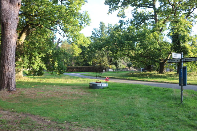
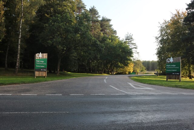
Thetford Forest
Thetford Forest is the largest lowland pine forest in Britain and is located in a region straddling the north of Suffolk and the south of Norfolk in England...

Brandon, Suffolk
Brandon is a town and civil parish in the English county of Suffolk. Brandon is located in the Breckland area of Suffolk, close to the adjoining county...

Thetford Golf Course and Marsh
Thetford Golf Course and Marsh is a 122.3-hectare (302-acre) biological Site of Special Scientific Interest on the western outskirts of Thetford in Norfolk...
Brandon Country Park
Brandon Country Park is a country park in Brandon, Suffolk, England. == History == In 1820 Edward Bliss bought Brandon Park house and grounds using wealth...

Brandon railway station
Brandon railway station is on the Breckland Line in the East of England, serving the town of Brandon, Suffolk, although the station is actually situated...
Nearby Amenities
Located within 500m of 52.439927,0.6731155Have you been to Blackthorn Belt?
Leave your review of Blackthorn Belt below (or comments, questions and feedback).