Claypit Belt
Wood, Forest in Suffolk West Suffolk
England
Claypit Belt

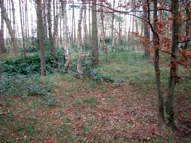
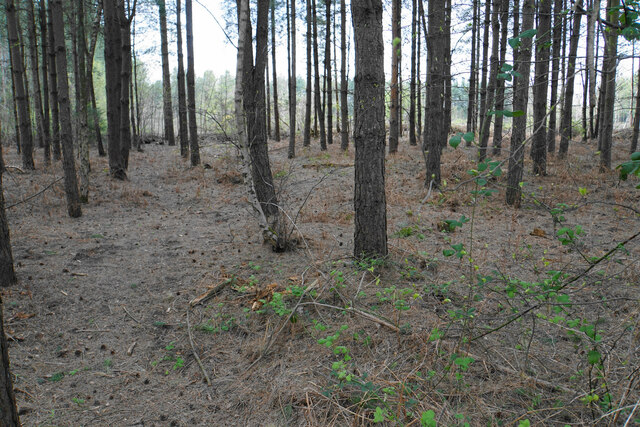
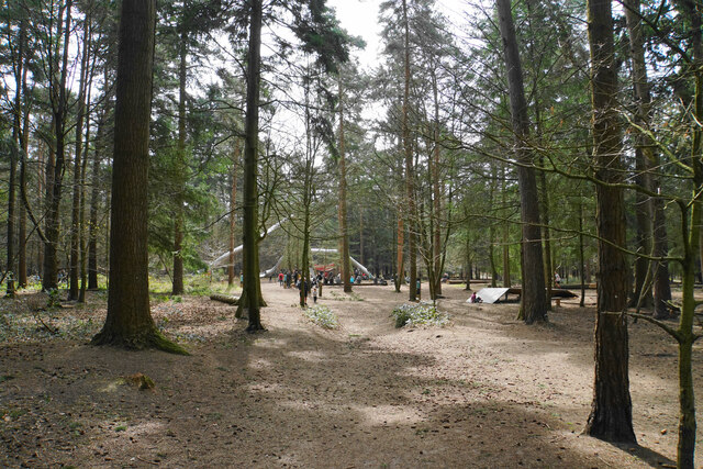
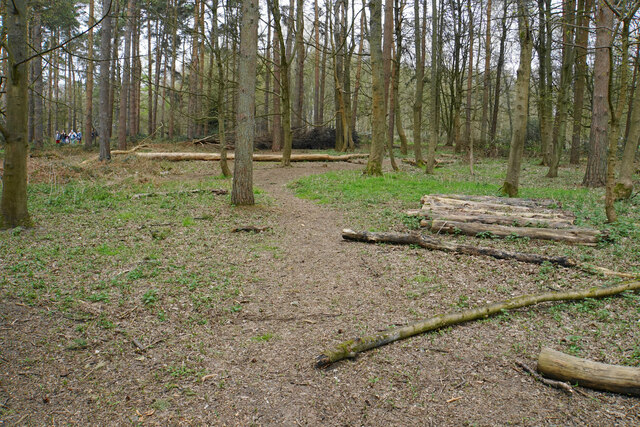
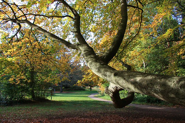
Claypit Belt is a woodland area located in Suffolk, England. Situated within the larger Claypit Belt Forest, it covers an approximate area of several square kilometers. The forest is predominantly composed of various species of trees, including oak, birch, and beech, which create a diverse and lush ecosystem. The woodland provides a habitat for a wide range of flora and fauna, making it an important part of the local biodiversity.
The Claypit Belt Forest is known for its rich history, dating back several centuries. The area was historically used for clay extraction, and evidence of this can still be seen in the form of old clay pits that dot the landscape. These pits have since been reclaimed by nature, creating unique habitats for plants and animals.
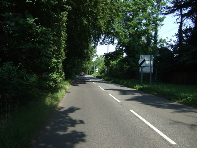
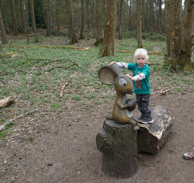
The woods are a popular destination for nature enthusiasts and outdoor recreational activities. There are several walking and cycling trails that wind through the forest, allowing visitors to explore its natural beauty. Birdwatchers are particularly drawn to the area, as it provides a home to a variety of bird species, including woodpeckers, owls, and various songbirds.
The Claypit Belt Forest is managed by the local authorities to ensure its preservation and protection. Efforts are made to maintain the delicate balance of the ecosystem and promote sustainable practices within the woodland. The forest is also open to the public, offering a peaceful and serene escape from the hustle and bustle of everyday life.
If you have any feedback on the listing, please let us know in the comments section below.
Claypit Belt Images
Images are sourced within 2km of 52.44077/0.66728046 or Grid Reference TL8185. Thanks to Geograph Open Source API. All images are credited.


Claypit Belt is located at Grid Ref: TL8185 (Lat: 52.44077, Lng: 0.66728046)
Administrative County: Suffolk
District: West Suffolk
Police Authority: Suffolk
What 3 Words
///horns.nozzles.decorator. Near Weeting, Norfolk
Nearby Locations
Related Wikis

Santon Downham
Santon Downham is a village and civil parish in the West Suffolk district of Suffolk in eastern England. In 2005 it had a population of 240. The village...
Santon, Norfolk
Santon is a depopulated village located near Santon Downham in Norfolk, England. Moated earthworks and other remains of the medieval village are a scheduled...

Thetford Forest
Thetford Forest is the largest lowland pine forest in Britain and is located in a region straddling the north of Suffolk and the south of Norfolk in England...

St Helen's Church, Santon
St Helen's Church was a church located near Santon, Norfolk, England. Its site is a scheduled monument. It was no longer in existence by 1368.The church...

Brandon, Suffolk
Brandon is a town and civil parish in the English county of Suffolk. Brandon is located in the Breckland area of Suffolk, close to the adjoining county...
Brandon Country Park
Brandon Country Park is a country park in Brandon, Suffolk, England. == History == In 1820 Edward Bliss bought Brandon Park house and grounds using wealth...

Brandon railway station
Brandon railway station is on the Breckland Line in the East of England, serving the town of Brandon, Suffolk, although the station is actually situated...

Thetford Golf Course and Marsh
Thetford Golf Course and Marsh is a 122.3-hectare (302-acre) biological Site of Special Scientific Interest on the western outskirts of Thetford in Norfolk...
Nearby Amenities
Located within 500m of 52.44077,0.66728046Have you been to Claypit Belt?
Leave your review of Claypit Belt below (or comments, questions and feedback).