Manor Park

Settlement in Cheshire

England

Manor Park

Walled Garden at Norton Priory The exit through the gardener's cottage
Walled Garden at Norton Priory Credit: Kevin Waterhouse

Manor Park is a charming village located in Cheshire, England. Situated near the town of Runcorn, it offers residents and visitors a tranquil and picturesque setting. The village is known for its beautiful natural landscapes, historic sites, and friendly community.

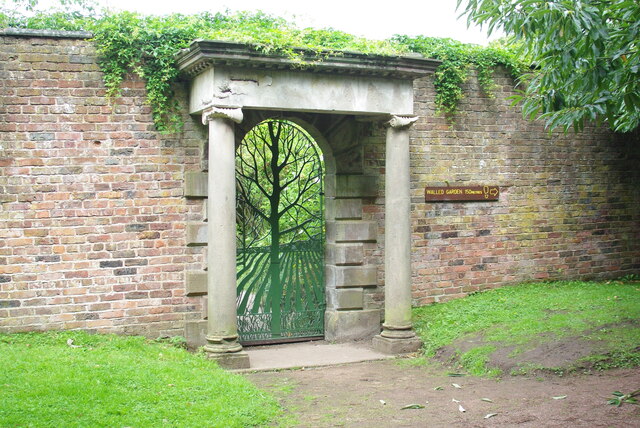
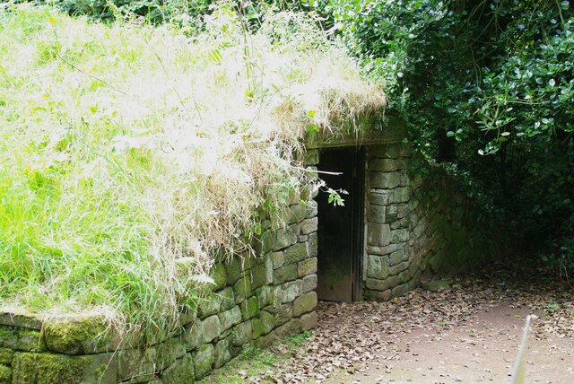
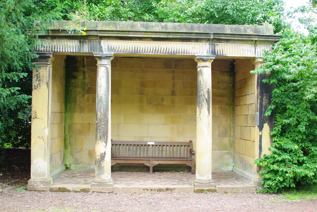
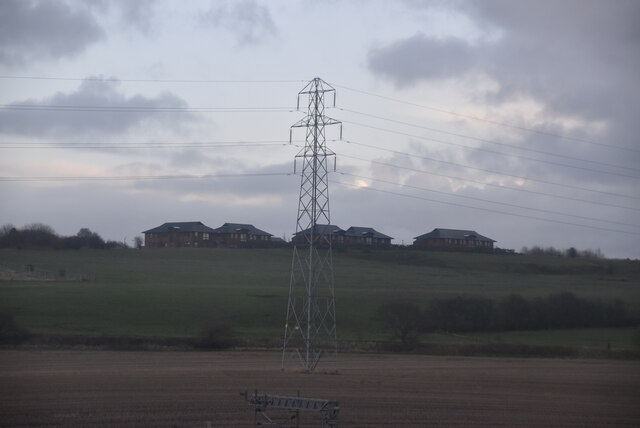
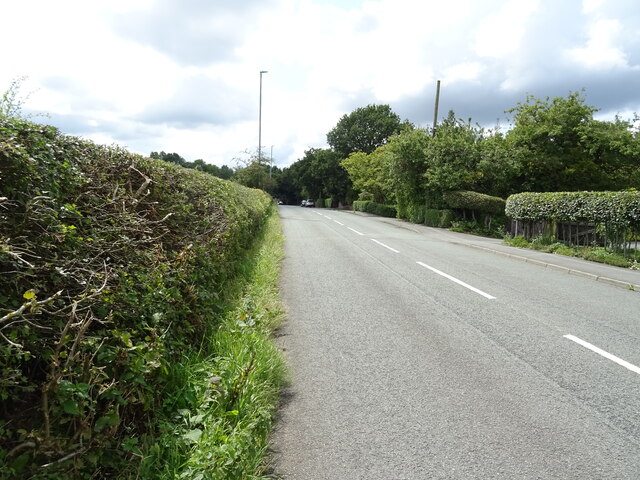
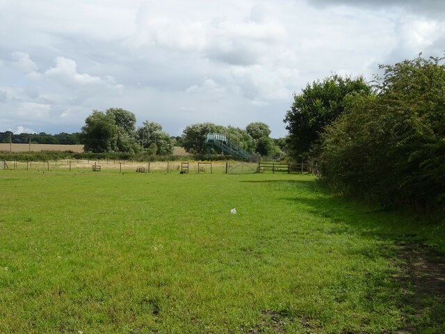
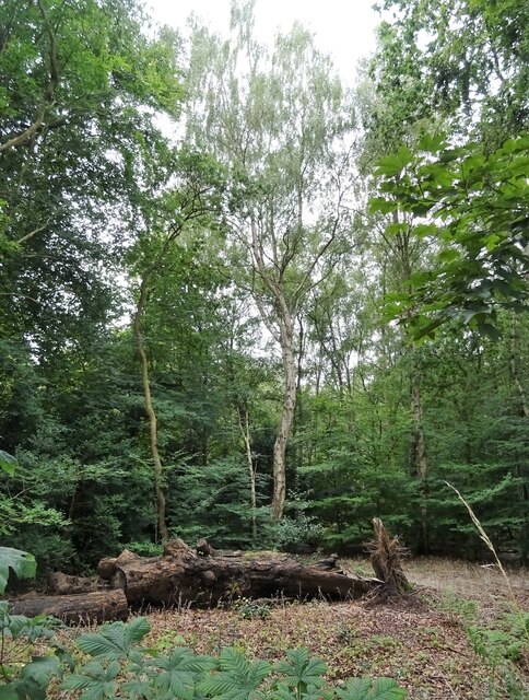
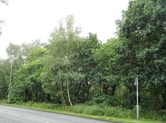
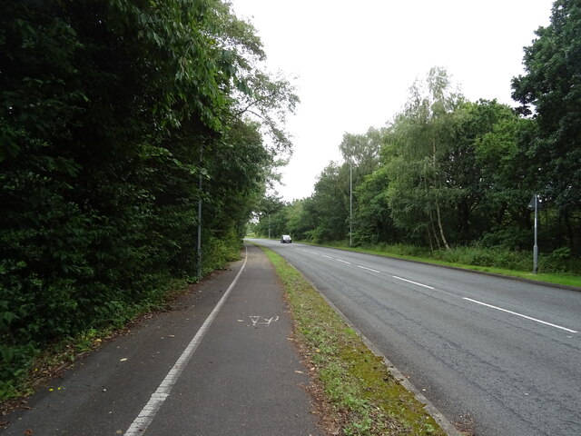
Surrounded by lush green fields and rolling hills, Manor Park is a haven for nature lovers. The village is home to several parks and green spaces, providing ample opportunities for outdoor activities such as walking, jogging, and picnicking. The nearby River Weaver adds to the scenic beauty of the area, offering stunning views and a peaceful ambiance.

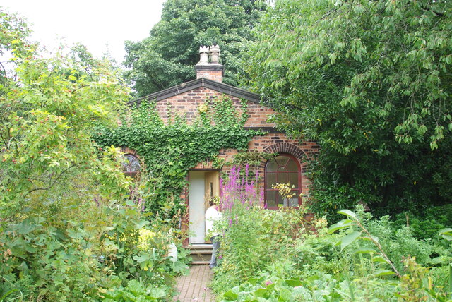
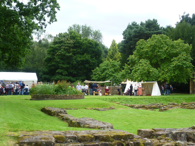
Historically, Manor Park holds great significance. It is home to several heritage sites, including the historic Halton Castle. This medieval fortress, dating back to the 11th century, stands majestically on a hilltop overlooking the village. It serves as a reminder of the village's rich history and attracts tourists from far and wide.

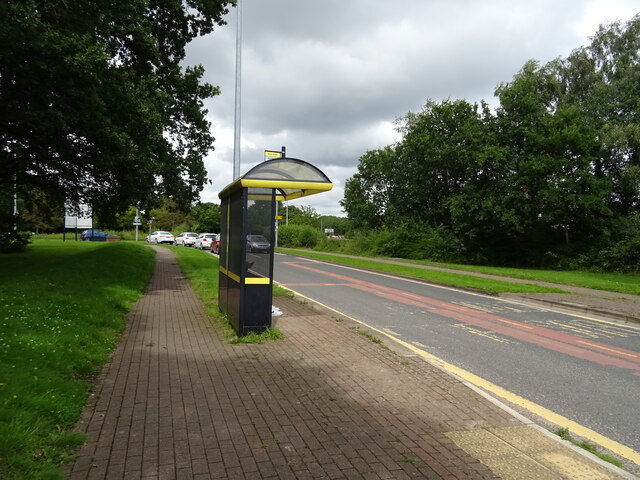
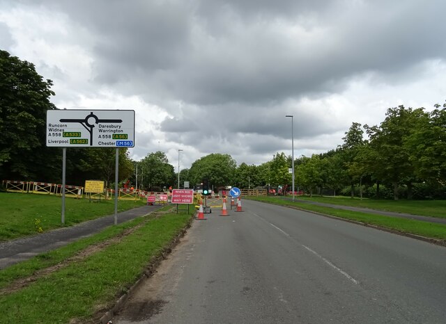
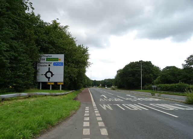
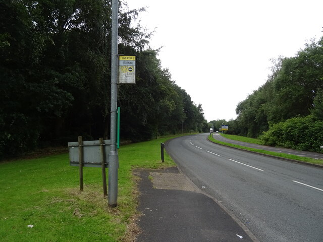
In terms of amenities, Manor Park offers a range of facilities to cater to its residents' needs. The village has a primary school, shops, and a community center, fostering a sense of belonging among its residents. Additionally, the nearby town of Runcorn provides access to a wider range of services, including supermarkets, healthcare facilities, and leisure activities.

Manor Park's strong sense of community is evident through its various social events and activities. Regular gatherings, such as village fairs and festivals, bring residents together and create a warm and welcoming atmosphere.

In conclusion, Manor Park is a picturesque village in Cheshire, offering residents and visitors a peaceful retreat amidst beautiful natural surroundings. With its rich history, range of amenities, and strong community spirit, it is a desirable place to live and explore.

If you have any feedback on the listing, please let us know in the comments section below.

Manor Park Images

Images are sourced within 2km of 53.349387/-2.6713853 or Grid Reference SJ5583. Thanks to Geograph Open Source API. All images are credited.

Walled Garden at Norton Priory The exit through the gardener's cottage
Walled Garden at Norton Priory
The exit through the gardener's cottage
Walled Garden at Norton Priory The original entrance portico, with modern fixed gate of the Tree of Life
Walled Garden at Norton Priory
The original entrance portico, with modern fixed gate of the Tree of Life
Outer Entrance to the Ice House On the outside of the walled garden at Norton Priory. There is another gate before the pit of the ice house after this passageway entrance door
Outer Entrance to the Ice House
On the outside of the walled garden at Norton Priory. There is another gate before the pit of the ice house after this passageway entrance door
Garden Loggia In the grounds of Norton Priory
Garden Loggia
In the grounds of Norton Priory
Walled garden at Norton Priory The pergola along the north wall
Walled garden at Norton Priory
The pergola along the north wall
Medieval re-enactment at Norton Priory A special event for the new museum opening
Medieval re-enactment at Norton Priory
A special event for the new museum opening
Footbridge over the West Coast Main Line
Runcorn Road
Runcorn Road
Grazing and footpath off Runcorn Road Towards the West Coast Main Line.
Grazing and footpath off Runcorn Road
Towards the West Coast Main Line.
Bus top and shelter on Wharford Lane
Pitts Heath Lane towards A558 Daresbury Expressway
Daresbury Expressway (A558)
Lodge Plantation
Lodge Plantation
Bus stop on Warrington Road
Green Wood beside Eastgate Way
Dual use path beside Eastgate Way
Bus stop and shelter on Warrington Road
Show me another place!

Manor Park is located at Grid Ref: SJ5583 (Lat: 53.349387, Lng: -2.6713853)

Unitary Authority: Halton

Police Authority: Cheshire

What 3 Words

///skin.visual.tasty. Near Daresbury, Cheshire

Related Wikis

Red Lodge, Norton

Red Lodge, is in Manor Farm Road, Norton, Runcorn, Cheshire, England. Built originally as a lodge at the entrance to the estate of Norton Priory, it was...

Sandymoor

Sandymoor is a civil parish in Runcorn, Halton, Cheshire, England, with a population of approximately 3,700. The majority of housing in Sandymoor was built...

Norton Priory

Norton Priory is a historic site in Norton, Runcorn, Cheshire, England, comprising the remains of an abbey complex dating from the 12th to 16th centuries...

Sandymoor Ormiston Academy

Sandymoor Ormiston Academy is a coeducational secondary school and sixth form located in the Parish of Sandymoor, Runcorn, Cheshire, England. The school...

Nearby Amenities

Located within 500m of 53.349387,-2.6713853
Source: PGS
Lat/Long: 53.3530312/-2.6755149
Source: PGS
Lat/Long: 53.3525566/-2.6761564
Motorway Junction
Lat/Long: 53.3451557/-2.6712354
Power: tower
Lat/Long: 53.3458953/-2.6675327
Power: tower
Lat/Long: 53.3488773/-2.6690433
Power: tower
Lat/Long: 53.350691/-2.669996
Power: tower
Lat/Long: 53.3529299/-2.6715667
Manor Park
Place: suburb
Source: npemap.org.uk, landsat
Lat/Long: 53.3499401/-2.670539
Barrier: bollard
Bicycle: yes
Cyclestreets Id: 90124
Foot: yes
Horse: yes
Motor Vehicle: no
Url: https://www.cyclestreets.net/location/90124/
Lat/Long: 53.3477223/-2.6653093
Crossing
Crossing: unmarked
Crossing Island: no
Tactile Paving: no
Lat/Long: 53.3471271/-2.6715254
Crossing
Crossing: unmarked
Crossing Island: no
Tactile Paving: no
Lat/Long: 53.3485575/-2.6712458
Created By: Potlatch 0.10f
Waterway: pumping_station
Lat/Long: 53.353363/-2.6680413
Post Box
Operator: Royal Mail
Operator Wikidata: Q638098
Post Box Type: meter
Ref: WA7 77
Lat/Long: 53.3486841/-2.6713106
Addr City: Runcorn
Addr Postcode: WA7 1SS
Source: knowledge
Lat/Long: 53.3506677/-2.6745755
Crossing
Crossing: unmarked
Crossing Island: no
Tactile Paving: no
Lat/Long: 53.3498334/-2.674358
Crossing
Crossing: unmarked
Crossing Island: no
Tactile Paving: no
Lat/Long: 53.3492842/-2.6749153
Red campion close
Addr City: Runcorn
Addr Housenumber: 1
Addr Postcode: WA7 1US
Tourism: apartment
Lat/Long: 53.3481596/-2.6643515
Crossing
Crossing: unmarked
Crossing Island: no
Tactile Paving: yes
Lat/Long: 53.348362/-2.6710503
Crossing
Crossing: unmarked
Crossing Island: no
Tactile Paving: yes
Lat/Long: 53.348245/-2.6706589
Crossing
Crossing: unmarked
Crossing Island: no
Tactile Paving: yes
Lat/Long: 53.3483092/-2.6688882
Crossing
Crossing: unmarked
Crossing Island: no
Tactile Paving: yes
Lat/Long: 53.3483155/-2.6694789
Bus Stop
Bus: yes
Public Transport: platform
Shelter: yes
Lat/Long: 53.3484691/-2.6709859
Crossing
Crossing: unmarked
Crossing Island: no
Tactile Paving: yes
Lat/Long: 53.3488329/-2.6731394
Crossing
Crossing: unmarked
Crossing Island: no
Tactile Paving: no
Lat/Long: 53.349633/-2.6744004
Crossing
Crossing: unmarked
Crossing Island: no
Tactile Paving: no
Lat/Long: 53.3488546/-2.6756834
Crossing
Crossing: unmarked
Lat/Long: 53.3500255/-2.6741692
Crossing
Crossing: unmarked
Crossing Island: no
Tactile Paving: no
Lat/Long: 53.3467521/-2.672568
Post Box
Operator: Royal Mail
Operator Wikidata: Q638098
Post Box Design: type_k
Post Box Type: pillar
Ref: WA7 67
Royal Cypher: EIIR
Lat/Long: 53.3486284/-2.6712926
The data included in this document is from www.openstreetmap.org. The data is made available under ODbL.

Have you been to Manor Park?

Leave your review of Manor Park below (or comments, questions and feedback).