Sandy Lane
Civil Parish in Yorkshire Bradford
England
Sandy Lane

Sandy Lane is a civil parish located in the county of Yorkshire, England. Situated in the northern part of the county, it is part of the larger district of Leeds. The parish covers an area of approximately 2 square miles and has a population of around 1,000 residents.
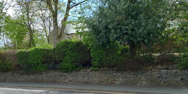
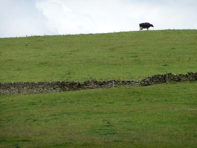
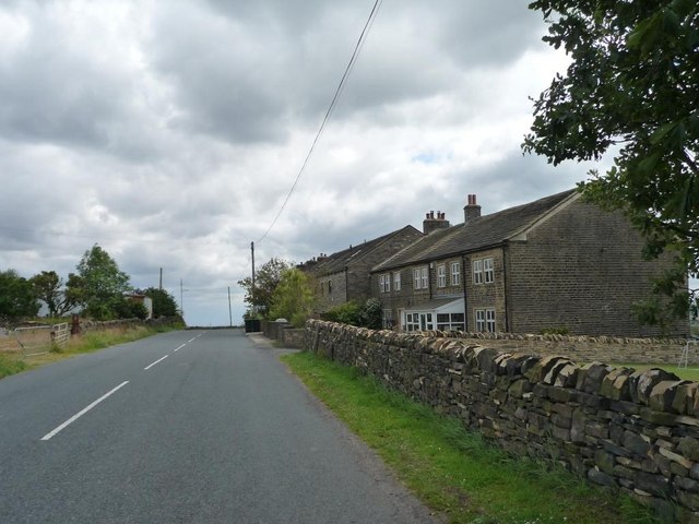
The village of Sandy Lane is a small and picturesque settlement that retains much of its traditional charm. It is characterized by its quaint cottages, well-maintained gardens, and narrow winding streets. The surrounding countryside is predominantly agricultural, with rolling fields and hedgerows adding to the area's rural appeal.
The parish is well-connected to the rest of Yorkshire, with good road links to nearby towns and cities. The A65 road passes through Sandy Lane, providing easy access to Leeds, Bradford, and other major centers. The village is also served by a regular bus service, allowing residents to travel to neighboring areas for work, shopping, or leisure activities.
Despite its small size, Sandy Lane offers a range of amenities to its residents. These include a village hall, a primary school, and a local shop that caters to everyday needs. The community is known for its strong sense of togetherness, with various events and activities organized throughout the year, fostering a vibrant and inclusive atmosphere.
Overall, Sandy Lane is a charming and close-knit community that offers a peaceful and idyllic countryside lifestyle, while still being within easy reach of larger urban centers.
If you have any feedback on the listing, please let us know in the comments section below.
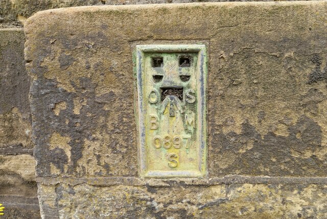
Sandy Lane Images
Images are sourced within 2km of 53.814417/-1.834493 or Grid Reference SE1035. Thanks to Geograph Open Source API. All images are credited.


Sandy Lane is located at Grid Ref: SE1035 (Lat: 53.814417, Lng: -1.834493)
Division: West Riding
Administrative County: West Yorkshire
District: Bradford
Police Authority: West Yorkshire
What 3 Words
///wages.cried.famous. Near Wilsden, West Yorkshire
Nearby Locations
Related Wikis

Sandy Lane, West Yorkshire
Sandy Lane is a village and civil parish to the north of Bradford, West Yorkshire, England. The population of the civil parish as of the 2011 census was...

Bingley Rural
Bingley Rural is an electoral ward in the City of Bradford Metropolitan District Council. The population of the ward at the 2011 Census was 17,895.It encompasses...

Thornton and Allerton
Thornton and Allerton (population 18,000 - 2021 ward profile) is a ward within the City of Bradford Metropolitan District Council in the county of West...

Belle Vue Girls' Academy
Belle Vue Girls' Academy (formerly Belle Vue Girls' School) is a girls' secondary school and sixth form located in Bradford, West Yorkshire, England....

Beckfoot Upper Heaton
Beckfoot Upper Heaton (formerly Belle Vue Boys' School) is a co-educational secondary school in Bradford, West Yorkshire, England. It is situated near...

Allerton, West Yorkshire
Allerton is a village within the metropolitan borough of the City of Bradford, West Yorkshire, England, now increasingly part of the Bradford conurbation...

Cottingley, Bradford
Cottingley is a suburban village within the City of Bradford district in West Yorkshire, England between Shipley and Bingley. It is known for the Cottingley...
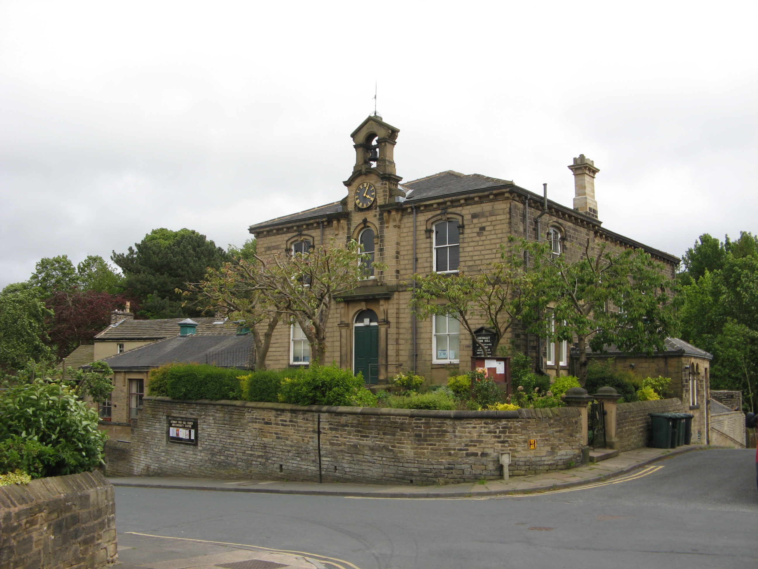
Cottingley Town Hall
Cottingley Town Hall is a municipal building in Main Street in Cottingley, West Yorkshire, England. The building, which was used as a church and a community...
Nearby Amenities
Located within 500m of 53.814417,-1.834493Have you been to Sandy Lane?
Leave your review of Sandy Lane below (or comments, questions and feedback).