Combe Almer

Settlement in Dorset

England

Combe Almer

The eastern end of Charborough Park wall The famous wall of the deer park, beside the A31, one of the longest brick walls in England
The eastern end of Charborough Park wall Credit: David Smith

Combe Almer is a charming village located in the county of Dorset, England. Nestled within the rolling countryside, it is surrounded by picturesque landscapes and offers a tranquil and idyllic setting for residents and visitors alike.

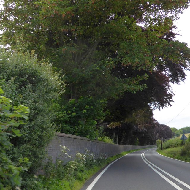
The village is renowned for its natural beauty, with lush green fields, meandering rivers, and ancient woodlands. It is situated in close proximity to the stunning Jurassic Coast, a UNESCO World Heritage Site, offering breathtaking views of the sea and dramatic cliffs.

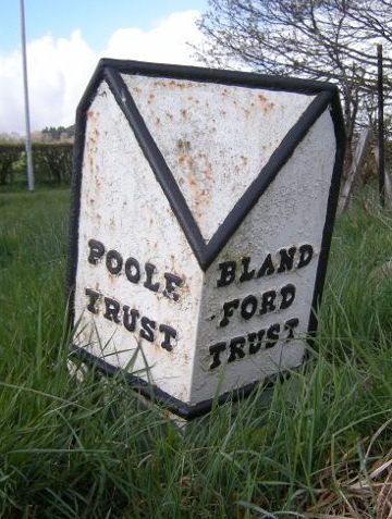
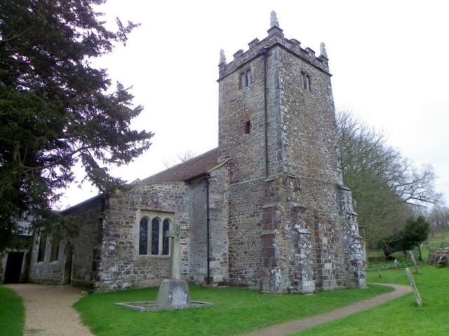
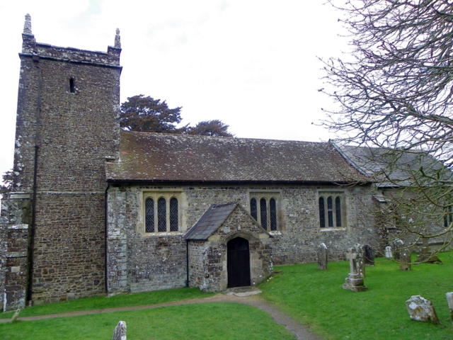
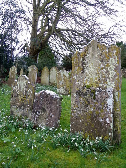
Combe Almer is a small village, with a close-knit community and a population of around 300 residents. It boasts a rich history, dating back to the medieval times, and is home to several historic buildings, including a stunning 12th-century church, St. James the Less.

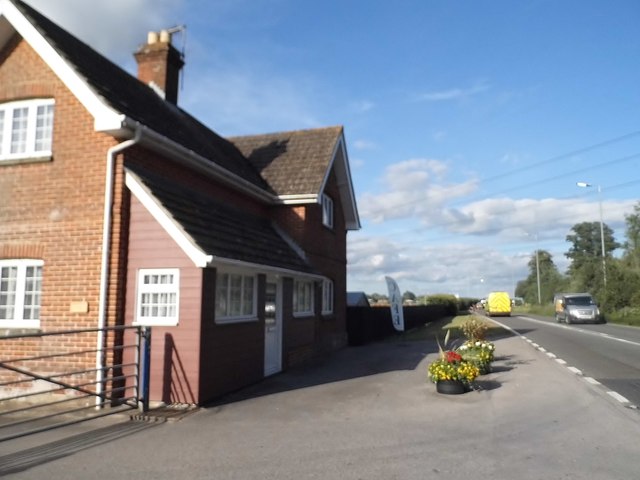
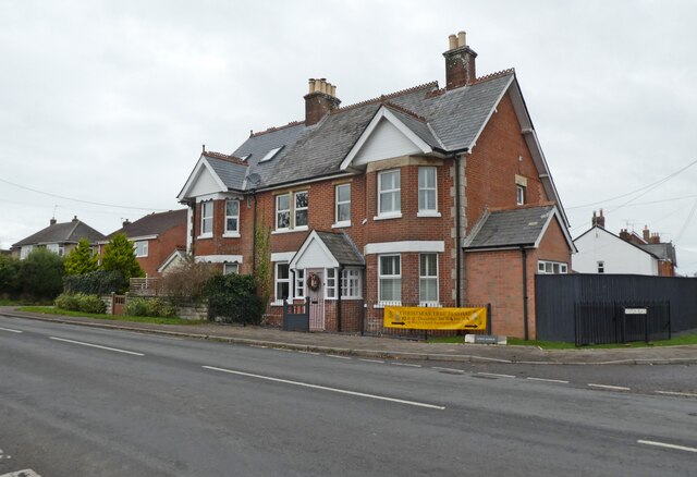
In terms of amenities, the village offers a range of facilities to cater to the needs of its residents. These include a local pub, a village hall that hosts various community events, and a primary school that serves the surrounding area.

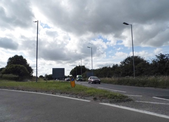
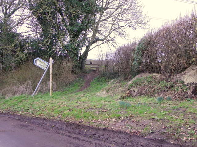
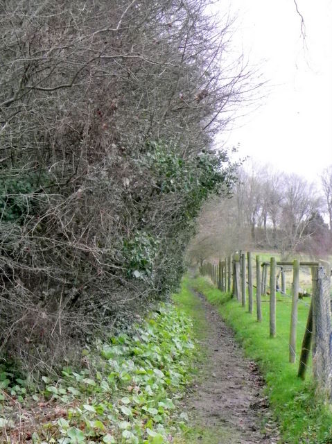
For outdoor enthusiasts, Combe Almer provides ample opportunities for exploring the great outdoors. The village is surrounded by numerous walking trails, cycling routes, and bridleways, allowing visitors to immerse themselves in the natural beauty of the area.

Overall, Combe Almer is a serene and picturesque village that offers a peaceful retreat from the hustle and bustle of modern life. With its stunning countryside, rich history, and warm community spirit, it is a hidden gem within the Dorset countryside.

If you have any feedback on the listing, please let us know in the comments section below.
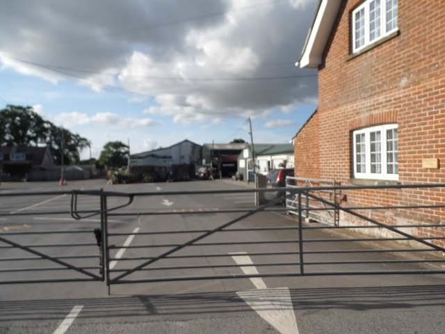
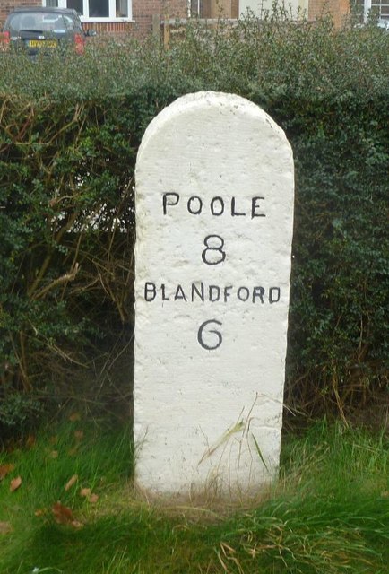
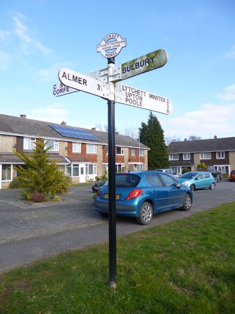
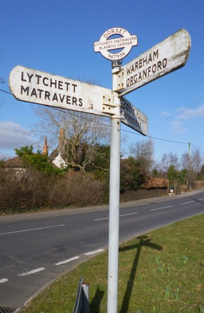
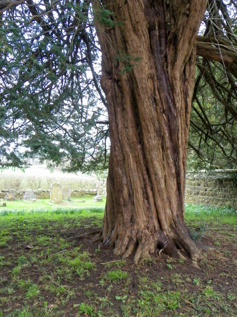
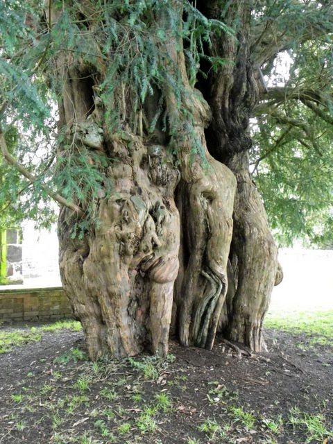
Combe Almer Images

Images are sourced within 2km of 50.776146/-2.0761939 or Grid Reference SY9497. Thanks to Geograph Open Source API. All images are credited.

The eastern end of Charborough Park wall The famous wall of the deer park, beside the A31, one of the longest brick walls in England
The eastern end of Charborough Park wall
The famous wall of the deer park, beside the A31, one of the longest brick walls in England
Roundabout on the A31, Sturminster Marshall
Woodland by the A31, Sturminster Marshall
The entrance to Vines Close Farm
Vines Close Farm
Vines Close Farm
Old Milestone by the A350, south east of Sturminster Marshall Carved stone post by the A350, in parish of STURMINSTER MARSHALL (EAST DORSET District), Blandford Road, 160m North of cross-roads with Station Road, in front of Burton Lux, against hedge by a row of bungalows, on West side of road. Dorset 3 (limestone), erected by the Blandford & Poole turnpike trust in the 19th century. 

Inscription reads:-
POOLE
8
BLANDFORD
6   

Milestone Society National ID: DO_POBF08.
Old Milestone by the A350, south east of Sturminster Marshall
Carved stone post by the A350, in parish of STURMINSTER MARSHALL (EAST DORSET District), Blandford Road, 160m North of cross-roads with Station Road, in front of Burton Lux, against hedge by a row of bungalows, on West side of road. Dorset 3 (limestone), erected by the Blandford & Poole turnpike trust in the 19th century. Inscription reads:- POOLE 8 BLANDFORD 6 Milestone Society National ID: DO_POBF08.
Old Direction Sign - Signpost by High Street, Lytchett Matravers Annulus and bar finial - 4 arms; Dorset halo with NGR by the UC road, in parish of Lytchett Matravers (Purbeck District), Lytchett Matravers, junction of High Street with Limekiln Road, on verge.

Surveyed

Milestone Society National ID: DO_SY9495A
Old Direction Sign - Signpost by High Street, Lytchett Matravers
Annulus and bar finial - 4 arms; Dorset halo with NGR by the UC road, in parish of Lytchett Matravers (Purbeck District), Lytchett Matravers, junction of High Street with Limekiln Road, on verge. Surveyed Milestone Society National ID: DO_SY9495A
Old Direction Sign - Signpost by Wimborne Road, Lytchett Matravers Annulus and bar finial - 3 arms; Dorset halo with NGR by the UC road, in parish of Lytchett Matravers (Purbeck District), junction with Lime Kiln, Wimborne and Wareham Roads, on verge.

Surveyed

Milestone Society National ID: DO_SY9495B
Old Direction Sign - Signpost by Wimborne Road, Lytchett Matravers
Annulus and bar finial - 3 arms; Dorset halo with NGR by the UC road, in parish of Lytchett Matravers (Purbeck District), junction with Lime Kiln, Wimborne and Wareham Roads, on verge. Surveyed Milestone Society National ID: DO_SY9495B
Old Boundary Marker by the A31, Poole Road, Sturminster Marshall parish Turnpike Terminus Marker by the A350, in parish of Sturminster Marshall (East Dorset District), 500m south of Sturminster Marshall, centre of the roundabout where the A350 crosses the A31.

Inscription reads:-
: POOLE / TRUST : : BLAND- / -FORD / TRUST :

Surveyed

Milestone Society National ID: DO_POBF06t
Old Boundary Marker by the A31, Poole Road, Sturminster Marshall parish
Turnpike Terminus Marker by the A350, in parish of Sturminster Marshall (East Dorset District), 500m south of Sturminster Marshall, centre of the roundabout where the A350 crosses the A31. Inscription reads:- : POOLE / TRUST : : BLAND- / -FORD / TRUST : Surveyed Milestone Society National ID: DO_POBF06t
April Lodge, Sturminster Marshall
Stile and footpath, Lytchett Matravers The footpath is part of the 13 mile, Wareham Forest Way.
Stile and footpath, Lytchett Matravers
The footpath is part of the 13 mile, Wareham Forest Way.
The Church of St Mary the Virgin, Lytchett Matravers The church has its origins in the 13th century with restoration taking place in circa 1875.  It is built of ironstone rubble.
The Church of St Mary the Virgin, Lytchett Matravers
The church has its origins in the 13th century with restoration taking place in circa 1875. It is built of ironstone rubble.
The Church of St Mary the Virgin, Lytchett Matravers The tower is the oldest part of the church dating from the 13th century.  The remainder of the church was built circa 1500.
The Church of St Mary the Virgin, Lytchett Matravers
The tower is the oldest part of the church dating from the 13th century. The remainder of the church was built circa 1500.
Footpath, Lytchett Matravers The footpath takes walkers from the Church of St Mary the Virgin towards Peatons Farms and the main of the village.
Footpath, Lytchett Matravers
The footpath takes walkers from the Church of St Mary the Virgin towards Peatons Farms and the main of the village.
Lichen, The Church of St Mary the Virgin The older gravestones are covered in lichen.

Lichens do not have roots, but absorb water and gases through their upper surface, and are therefore sensitive to atmospheric pollution.  For this reason they are rarely found around cities and grow best on the wetter west side of the British Isles.  Those on trees thrive best on the sunny, south-west aspects of trunks and branches.  Disappearance of lichen species can be used to detect rising levels of air pollution.  

There are three main types.  The encrusting forms, including the bright orange/dark yellow 'Xanthoria' grow on roofs, walls, gravestones, signs and tree trunks.  Leaf-like species develop flat lobes spreading over bark or stones, and shrubby forms which grow vertically from the ground or hang from trees.  Few have common names.
Lichen, The Church of St Mary the Virgin
The older gravestones are covered in lichen. Lichens do not have roots, but absorb water and gases through their upper surface, and are therefore sensitive to atmospheric pollution. For this reason they are rarely found around cities and grow best on the wetter west side of the British Isles. Those on trees thrive best on the sunny, south-west aspects of trunks and branches. Disappearance of lichen species can be used to detect rising levels of air pollution. There are three main types. The encrusting forms, including the bright orange/dark yellow 'Xanthoria' grow on roofs, walls, gravestones, signs and tree trunks. Leaf-like species develop flat lobes spreading over bark or stones, and shrubby forms which grow vertically from the ground or hang from trees. Few have common names.
Winter Heliotrope (Petasites fragrans), Lytchett Matravers This flower is originally from Africa.  It is now naturalised and belongs to the Coltsfoot/Butterbur family.

Found on the edge of the churchyard.
Winter Heliotrope (Petasites fragrans), Lytchett Matravers
This flower is originally from Africa. It is now naturalised and belongs to the Coltsfoot/Butterbur family. Found on the edge of the churchyard.
Yew Tree, St Mary's Churchyard The ancient tradition that this evergreen sheltered the first Christian missionaries to Britain before their churches were built is one of the many explanations put forward to account for the large numbers of yews found in country churchyards.  The yew is also a life symbol, and was sometimes scattered on graves.  The longbows of medieval archers came from straight, knot-free lengths cut from tall, selected trees.  But these were unlikely to be churchyard yews – the best bow staves were imported from Spain.
Yew Tree, St Mary's Churchyard
The ancient tradition that this evergreen sheltered the first Christian missionaries to Britain before their churches were built is one of the many explanations put forward to account for the large numbers of yews found in country churchyards. The yew is also a life symbol, and was sometimes scattered on graves. The longbows of medieval archers came from straight, knot-free lengths cut from tall, selected trees. But these were unlikely to be churchyard yews – the best bow staves were imported from Spain.
Yew Tree, St Mary's Churchyard The European yew (Taxus baccata) has a reputation for longevity. Whilst there is no direct evidence to support the view that yew trees were associated with pagan worship it is not hard to imagine that they were. The yew, a tree symbolising longevity, death and rebirth, became woven into folklore and its association with churchyards may simply be that in certain circumstances its foliage and fruit can be poisonous and in medieval England churchyards were one of the few places fenced against stock.
Yew Tree, St Mary's Churchyard
The European yew (Taxus baccata) has a reputation for longevity. Whilst there is no direct evidence to support the view that yew trees were associated with pagan worship it is not hard to imagine that they were. The yew, a tree symbolising longevity, death and rebirth, became woven into folklore and its association with churchyards may simply be that in certain circumstances its foliage and fruit can be poisonous and in medieval England churchyards were one of the few places fenced against stock.
Show me another place!

Combe Almer is located at Grid Ref: SY9497 (Lat: 50.776146, Lng: -2.0761939)

Unitary Authority: Dorset

Police Authority: Dorset

What 3 Words

///added.divided.logbook. Near Lytchett Matravers, Dorset

Related Wikis

St Mary the Virgin, Lytchett Matravers

St Mary the Virgin is the Church of England parish church of Lytchett Matravers in Dorset. Its parish is part of the Diocese of Salisbury. The building...

Henbury, Dorset

Henbury is a hamlet in the civil parish of Sturminster Marshall in Dorset, England. It lies on the A31 road. Henbury House is a classical Georgian house...

Barrow Hill, Dorset

Barrow Hill is a small settlement in Dorset, England, situated in the East Dorset administrative district on the A350 road approximately 4 miles (6.4 km...

Lytchett Matravers

Lytchett Matravers is a large village and civil parish in Dorset, England. The 2011 census recorded the parish as having 1,439 households and a population...

Bailey Gate railway station

Bailey Gate railway station was on the Somerset & Dorset Joint Railway in the English county of Dorset. == Usage == The station served the United Dairies...

Charborough House

Charborough House, also known as Charborough Park, is a Grade I listed building, the manor house of the ancient manor of Charborough. The house is between...

Stoney Down

Stoney Down or Stony Down is both a hill and an area of forested countryside in the county of Dorset, England, that has been designated an "Area of Great...

Sturminster Marshall

Sturminster Marshall is a village and civil parish in the east of Dorset in England, situated on the River Stour between Blandford Forum and Poole. The...

Nearby Amenities

Located within 500m of 50.776146,-2.0761939
Power: tower
Source: Bing
Lat/Long: 50.7747207/-2.0779724
Power: tower
Source: Bing
Lat/Long: 50.7773618/-2.0748171
Power: tower
Source: Bing
Lat/Long: 50.7795123/-2.0725748
Power: tower
Source: Bing
Lat/Long: 50.7731825/-2.0815227
Loop Farm
Addr Housename: Loop Farm (Loop Farm Livery)
Addr Street: Loop Farm Road
Building: industrial
Designation: Farm
Source: Locality
Lat/Long: 50.7758585/-2.0787226
Material: wood
Power: pole
Source: bing
Lat/Long: 50.7775759/-2.0700602
Material: wood
Power: pole
Source: bing
Lat/Long: 50.7785213/-2.0712148
Material: wood
Power: pole
Source: bing
Lat/Long: 50.7792676/-2.0722051
Material: wood
Power: pole
Source: bing
Lat/Long: 50.7792777/-2.0721465
Pipeline: marker
Lat/Long: 50.7776166/-2.0706611
Pipeline: marker
Lat/Long: 50.7776398/-2.0706669
Pipeline: marker
Lat/Long: 50.7776491/-2.070548
Pipeline: marker
Lat/Long: 50.7776686/-2.0705583
Power: pole
Source: bing
Voltage: 11000
Lat/Long: 50.7765559/-2.0783526
Power: pole
Source: bing
Voltage: 11000
Lat/Long: 50.7768001/-2.0791009
Power: pole
Source: bing
Voltage: 11000
Lat/Long: 50.7771538/-2.0801134
Power: pole
Source: bing
Lat/Long: 50.7763473/-2.0781916
Power: pole
Source: bing
Lat/Long: 50.7761488/-2.0772395
Power: pole
Source: bing
Lat/Long: 50.7752338/-2.0746377
Power: pole
Source: bing
Lat/Long: 50.7755739/-2.0755859
Power: pole
Source: bing
Lat/Long: 50.7762285/-2.071116
Power: pole
Source: bing
Lat/Long: 50.7759453/-2.0721862
Power: pole
Source: bing
Lat/Long: 50.7753635/-2.0728165
Power: pole
Source: bing
Lat/Long: 50.7749429/-2.0727924
Power: pole
Source: bing
Lat/Long: 50.7742322/-2.0730257
Power: pole
Source: bing
Lat/Long: 50.7735385/-2.0732591
Power: pole
Source: bing
Lat/Long: 50.7727141/-2.0735192
Power: pole
Source: bing
Lat/Long: 50.7775617/-2.0812708
Power: pole
Source: bing
Lat/Long: 50.7776363/-2.0822082
The data included in this document is from www.openstreetmap.org. The data is made available under ODbL.

Have you been to Combe Almer?

Leave your review of Combe Almer below (or comments, questions and feedback).