Fox Holes Wood

Wood, Forest in Dorset

England

Fox Holes Wood

Roundabout on the A31, Sturminster Marshall
Roundabout on the A31, Sturminster Marshall Credit: David Howard

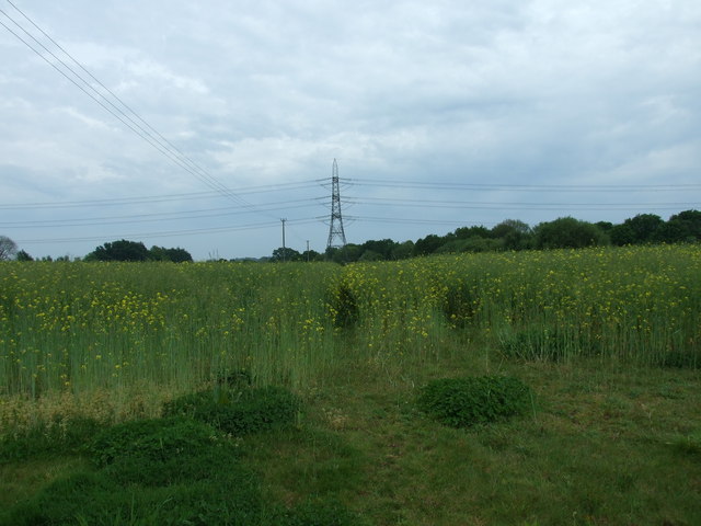
Fox Holes Wood is a picturesque forest located in the county of Dorset, England. Covering an area of approximately 100 acres, this woodland is a cherished natural treasure and a popular destination for nature enthusiasts and hikers alike.

Situated on the outskirts of a small village, Fox Holes Wood boasts a diverse range of flora and fauna, making it a haven for wildlife. The forest is characterized by a mixture of deciduous and coniferous trees, including oak, beech, and pine, which create a beautiful canopy that provides shade during the summer months. The forest floor is adorned with a carpet of bluebells in the spring, adding to the enchanting atmosphere.

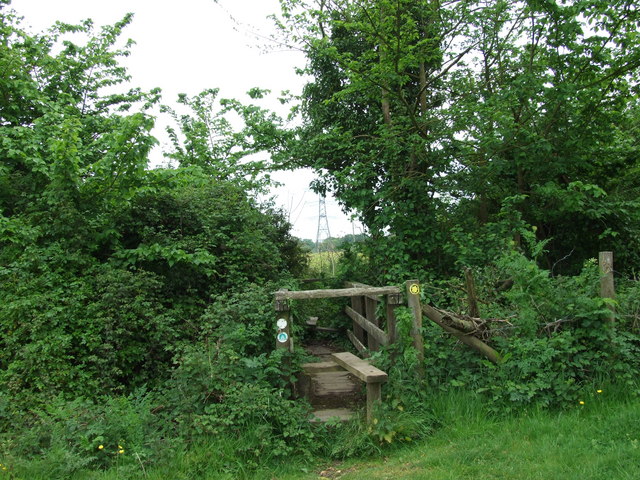
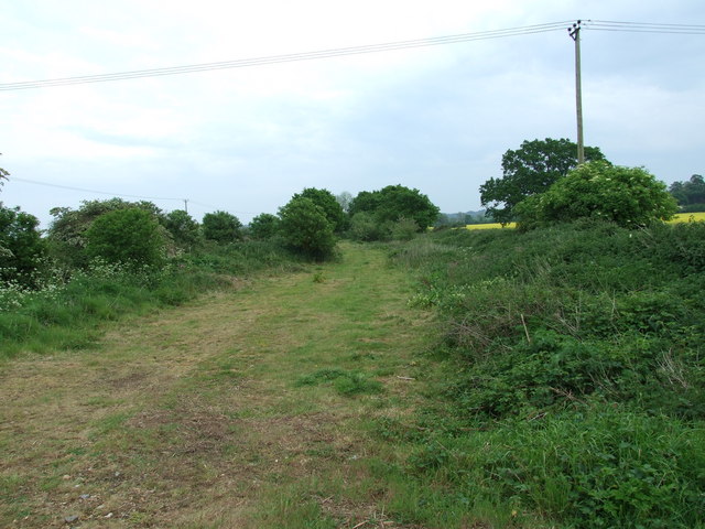
Traversing through Fox Holes Wood, visitors will find a network of well-maintained footpaths and trails, allowing them to explore the wood at their own pace. These paths meander through the forest, offering breathtaking views of the surrounding countryside and glimpses of wildlife such as deer, foxes, and various bird species.

For those interested in the history of the area, Fox Holes Wood has an intriguing past. It is believed that the wood was once used as a hiding place for local villagers during the English Civil War. The remnants of old earthwork fortifications can still be seen within the woodland, serving as a reminder of the area's historical significance.

Overall, Fox Holes Wood in Dorset is a tranquil and captivating destination where visitors can immerse themselves in the beauty of nature while exploring its rich history. Whether it's a leisurely stroll or a more adventurous hike, this wood offers something for everyone seeking solace in the great outdoors.

If you have any feedback on the listing, please let us know in the comments section below.

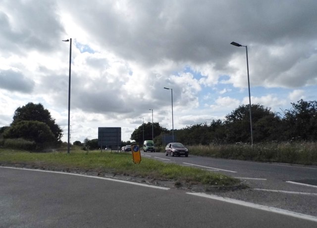
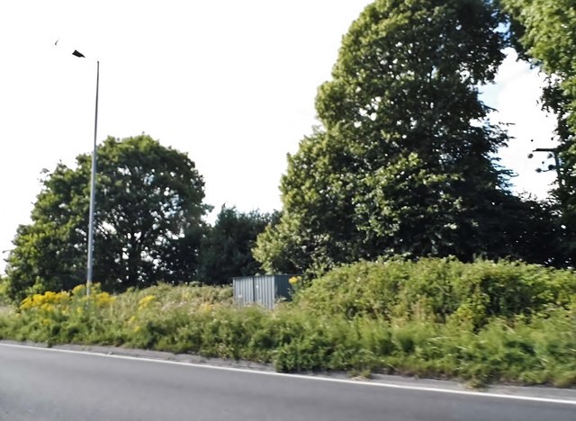
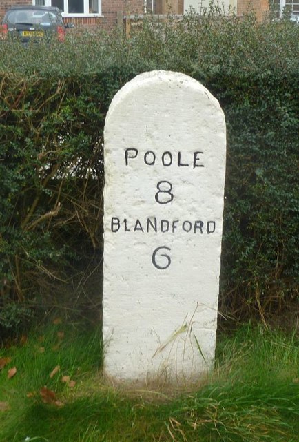
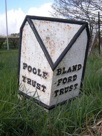
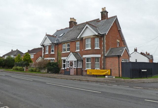
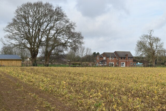
Fox Holes Wood Images

Images are sourced within 2km of 50.78005/-2.0740585 or Grid Reference SY9497. Thanks to Geograph Open Source API. All images are credited.

Roundabout on the A31, Sturminster Marshall
Woodland by the A31, Sturminster Marshall
The entrance to Vines Close Farm
Vines Close Farm
Vines Close Farm
Old Milestone by the A350, south east of Sturminster Marshall Carved stone post by the A350, in parish of STURMINSTER MARSHALL (EAST DORSET District), Blandford Road, 160m North of cross-roads with Station Road, in front of Burton Lux, against hedge by a row of bungalows, on West side of road. Dorset 3 (limestone), erected by the Blandford & Poole turnpike trust in the 19th century. 

Inscription reads:-
POOLE
8
BLANDFORD
6   

Milestone Society National ID: DO_POBF08.
Old Milestone by the A350, south east of Sturminster Marshall
Carved stone post by the A350, in parish of STURMINSTER MARSHALL (EAST DORSET District), Blandford Road, 160m North of cross-roads with Station Road, in front of Burton Lux, against hedge by a row of bungalows, on West side of road. Dorset 3 (limestone), erected by the Blandford & Poole turnpike trust in the 19th century. Inscription reads:- POOLE 8 BLANDFORD 6 Milestone Society National ID: DO_POBF08.
Old Boundary Marker by the A31, Poole Road, Sturminster Marshall parish Turnpike Terminus Marker by the A350, in parish of Sturminster Marshall (East Dorset District), 500m south of Sturminster Marshall, centre of the roundabout where the A350 crosses the A31.

Inscription reads:-
: POOLE / TRUST : : BLAND- / -FORD / TRUST :

Surveyed

Milestone Society National ID: DO_POBF06t
Old Boundary Marker by the A31, Poole Road, Sturminster Marshall parish
Turnpike Terminus Marker by the A350, in parish of Sturminster Marshall (East Dorset District), 500m south of Sturminster Marshall, centre of the roundabout where the A350 crosses the A31. Inscription reads:- : POOLE / TRUST : : BLAND- / -FORD / TRUST : Surveyed Milestone Society National ID: DO_POBF06t
April Lodge, Sturminster Marshall
Path on former railway trackbed, Sturminster Marshall On the former Somerset and Dorset Joint Railway, around 300m from Bailey Gate Station. The track was lifted in 1969.
Path on former railway trackbed, Sturminster Marshall
On the former Somerset and Dorset Joint Railway, around 300m from Bailey Gate Station. The track was lifted in 1969.
Puddled track beside golf course Having already been forced back by floodwater, we did not pursue this footpath across the meadows of the River Stour.
Puddled track beside golf course
Having already been forced back by floodwater, we did not pursue this footpath across the meadows of the River Stour.
Flooded track at entrance to golf course
Root crop beside the A350 Keeping to the field edge to avoid trampling the crop on the direct right of way line.
Root crop beside the A350
Keeping to the field edge to avoid trampling the crop on the direct right of way line.
Vines Close Farm Shop and Cafe
Business units at Henbury Farm
Farmland near Henbury Hall Fields beside the A31.
Farmland near Henbury Hall
Fields beside the A31.
Footpath across meadows at Henbury
Footpath, Sturminster Marshall This footpath runs through the shoulder high mustard seed.
Footpath, Sturminster Marshall
This footpath runs through the shoulder high mustard seed.
Double stile, Sturminster Marshall This double stile is on the Wareham Forest Way.
Double stile, Sturminster Marshall
This double stile is on the Wareham Forest Way.
Old Railway Track, Sturminster Marshall Part of the old Somerset and Dorset Railway line.
Old Railway Track, Sturminster Marshall
Part of the old Somerset and Dorset Railway line.
Show me another place!

Fox Holes Wood is located at Grid Ref: SY9497 (Lat: 50.78005, Lng: -2.0740585)

Unitary Authority: Dorset

Police Authority: Dorset

What 3 Words

///debate.diver.miss. Near Sturminster Marshall, Dorset

Related Wikis

Henbury, Dorset

Henbury is a hamlet in the civil parish of Sturminster Marshall in Dorset, England. It lies on the A31 road. Henbury House is a classical Georgian house...

Bailey Gate railway station

Bailey Gate railway station was on the Somerset & Dorset Joint Railway in the English county of Dorset. == Usage == The station served the United Dairies...

Sturminster Marshall

Sturminster Marshall is a village and civil parish in the east of Dorset in England, situated on the River Stour between Blandford Forum and Poole. The...

St Mary the Virgin, Lytchett Matravers

St Mary the Virgin is the Church of England parish church of Lytchett Matravers in Dorset. Its parish is part of the Diocese of Salisbury. The building...

Nearby Amenities

Located within 500m of 50.78005,-2.0740585
Power: tower
Source: Bing
Lat/Long: 50.7773618/-2.0748171
Power: tower
Source: Bing
Lat/Long: 50.7795123/-2.0725748
Power: tower
Source: Bing
Lat/Long: 50.7828092/-2.0691201
Material: wood
Power: pole
Source: bing
Lat/Long: 50.7775759/-2.0700602
Material: wood
Power: pole
Source: bing
Lat/Long: 50.7785213/-2.0712148
Material: wood
Power: pole
Source: bing
Lat/Long: 50.7792676/-2.0722051
Material: wood
Power: pole
Source: bing
Lat/Long: 50.7792777/-2.0721465
Material: wood
Power: pole
Source: bing
Lat/Long: 50.781742/-2.0741746
Material: wood
Power: pole
Source: bing
Lat/Long: 50.7818564/-2.074164
Material: wood
Power: pole
Source: bing
Lat/Long: 50.7823219/-2.0747948
Material: wood
Power: pole
Source: bing
Lat/Long: 50.7838791/-2.0766775
Barrier: kissing_gate
Foot: yes
Lat/Long: 50.7801907/-2.0673311
Poles: bipole
Power: pole
Source: GPS/Survey
Transformer: yes
Lat/Long: 50.7811291/-2.0704355
Material: wood
Power: pole
Source: GPS/Survey
Lat/Long: 50.7814278/-2.0710883
Pipeline: marker
Lat/Long: 50.7776166/-2.0706611
Pipeline: marker
Lat/Long: 50.7776398/-2.0706669
Pipeline: marker
Lat/Long: 50.7776491/-2.070548
Pipeline: marker
Lat/Long: 50.7776686/-2.0705583
Power: pole
Source: bing
Voltage: 11000
Lat/Long: 50.7765559/-2.0783526
Power: pole
Source: bing
Lat/Long: 50.7761488/-2.0772395
Power: pole
Source: bing
Lat/Long: 50.7833465/-2.0707914
Power: pole
Source: bing
Lat/Long: 50.7836416/-2.0718938
Power: pole
Source: bing
Lat/Long: 50.7762285/-2.071116
Power: pole
Source: bing
Lat/Long: 50.7759453/-2.0721862
Man Made: tower
Tower Type: communication
Lat/Long: 50.7797018/-2.0806586
The data included in this document is from www.openstreetmap.org. The data is made available under ODbL.

Have you been to Fox Holes Wood?

Leave your review of Fox Holes Wood below (or comments, questions and feedback).