West Wood
Wood, Forest in Dorset
England
West Wood
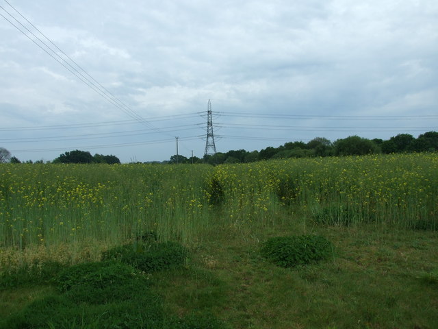
West Wood is a picturesque forest located in the county of Dorset, England. Encompassing an area of approximately 500 acres, it is a prominent natural attraction that draws visitors from near and far. The woodland is situated within the Cranborne Chase Area of Outstanding Natural Beauty, adding to its allure and popularity.
The forest is predominantly composed of ancient broadleaf trees, such as oak, beech, and ash, which lend it a distinct charm and create a rich and diverse ecosystem. The dense canopy provides shelter for a variety of wildlife, including deer, foxes, badgers, and a wide array of bird species, making it a haven for nature enthusiasts and birdwatchers alike.
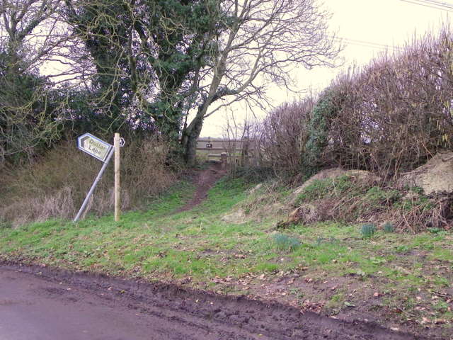
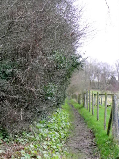
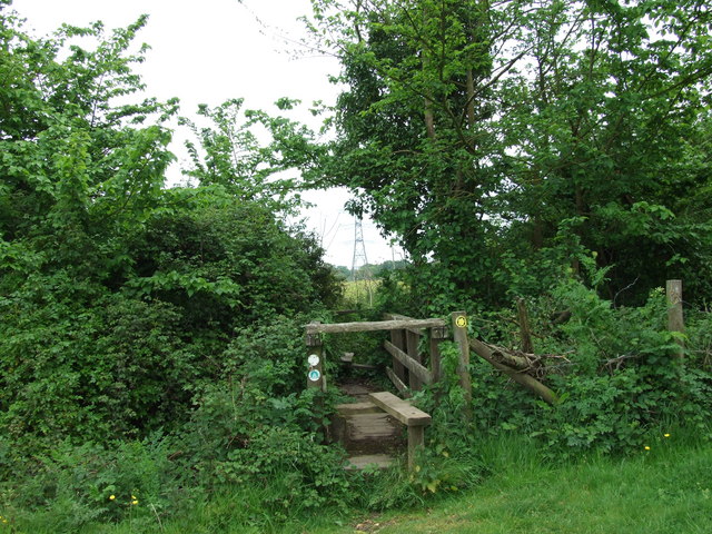
West Wood offers several well-maintained walking trails that wind through its enchanting surroundings. These paths cater to all levels of fitness and are suitable for both leisurely strolls and more challenging hikes. As visitors traverse the forest, they are treated to breathtaking views of the surrounding countryside and may even stumble upon hidden gems such as tranquil ponds and ancient ruins.
In addition to its natural beauty, West Wood holds historical significance. It is believed that the forest has been in existence since at least the medieval period and has served as a valuable resource for timber and other woodland products throughout history. Today, it continues to be managed sustainably to preserve its natural heritage.
Overall, West Wood in Dorset is a captivating destination that showcases the beauty and diversity of the English countryside. It offers a tranquil escape from the hustle and bustle of modern life, providing visitors with an opportunity to immerse themselves in nature and explore a truly remarkable woodland setting.
If you have any feedback on the listing, please let us know in the comments section below.
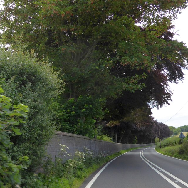
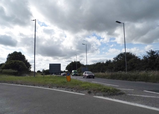
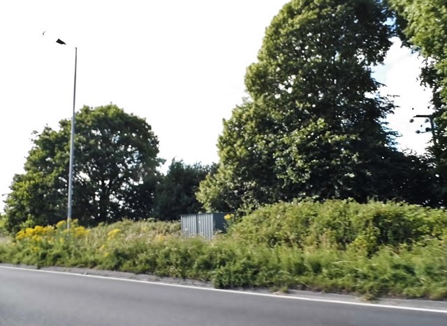
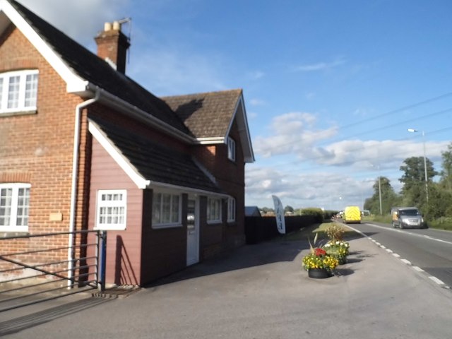
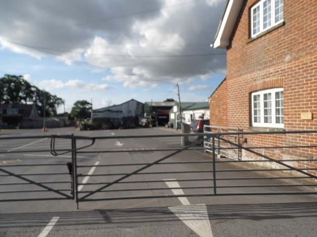
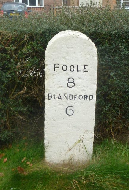
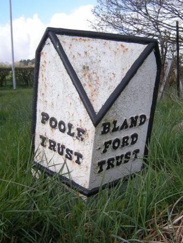
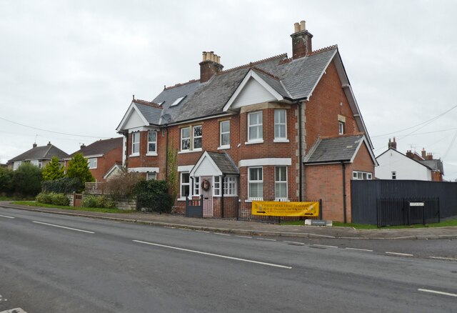
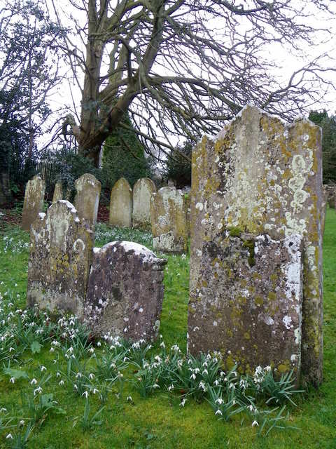
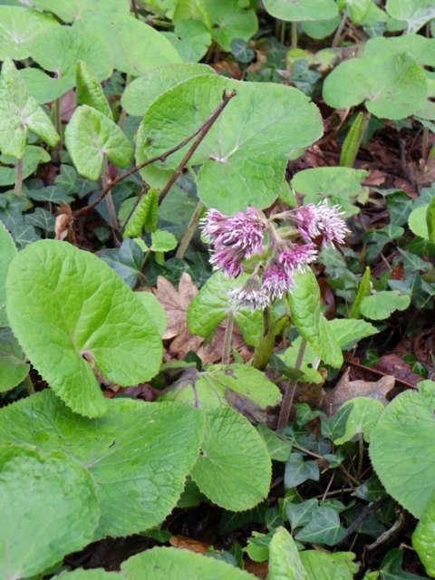
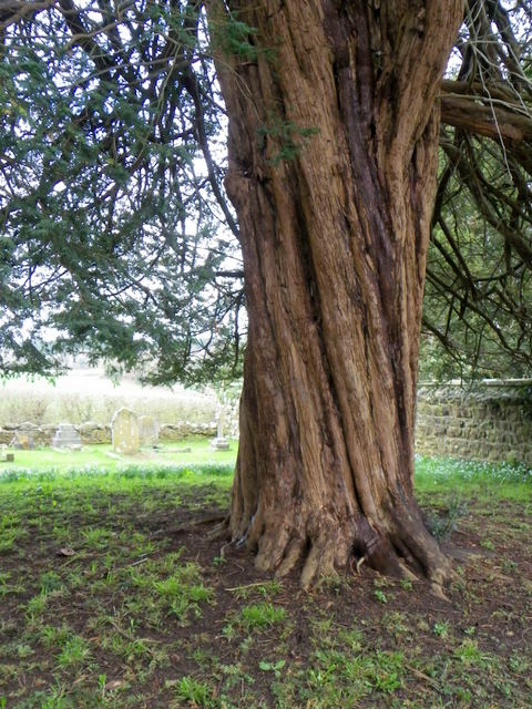
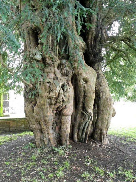
West Wood Images
Images are sourced within 2km of 50.779113/-2.0761988 or Grid Reference SY9497. Thanks to Geograph Open Source API. All images are credited.
West Wood is located at Grid Ref: SY9497 (Lat: 50.779113, Lng: -2.0761988)
Unitary Authority: Dorset
Police Authority: Dorset
What 3 Words
///filer.jazzy.zoos. Near Sturminster Marshall, Dorset
Nearby Locations
Related Wikis

Henbury, Dorset
Henbury is a hamlet in the civil parish of Sturminster Marshall in Dorset, England. It lies on the A31 road. Henbury House is a classical Georgian house...

Bailey Gate railway station
Bailey Gate railway station was on the Somerset & Dorset Joint Railway in the English county of Dorset. == Usage == The station served the United Dairies...

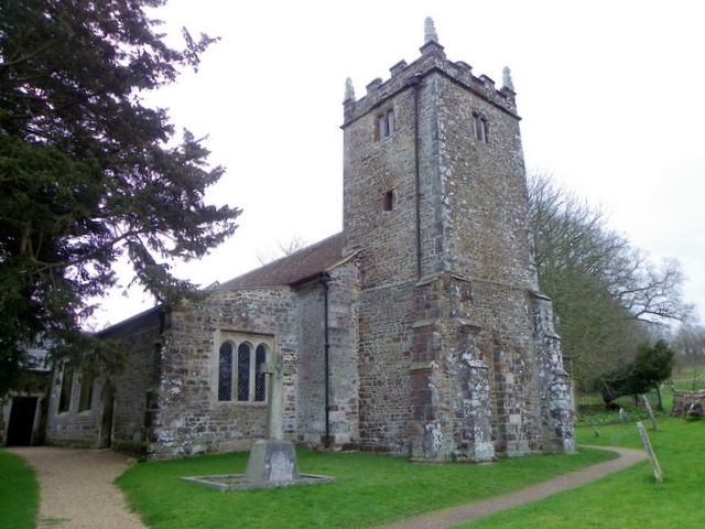
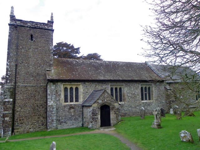
St Mary the Virgin, Lytchett Matravers
St Mary the Virgin is the Church of England parish church of Lytchett Matravers in Dorset. Its parish is part of the Diocese of Salisbury. The building...

Sturminster Marshall
Sturminster Marshall is a village and civil parish in the east of Dorset in England, situated on the River Stour between Blandford Forum and Poole. The...
Nearby Amenities
Located within 500m of 50.779113,-2.0761988Have you been to West Wood?
Leave your review of West Wood below (or comments, questions and feedback).