Dullar Wood

Wood, Forest in Dorset

England

Dullar Wood

The eastern end of Charborough Park wall The famous wall of the deer park, beside the A31, one of the longest brick walls in England
The eastern end of Charborough Park wall Credit: David Smith

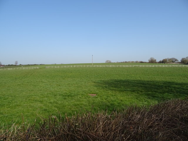
Dullar Wood is a picturesque woodland located in the county of Dorset, England. Situated near the small village of Dullar, it covers an area of approximately 100 acres and is known for its rich biodiversity and natural beauty.

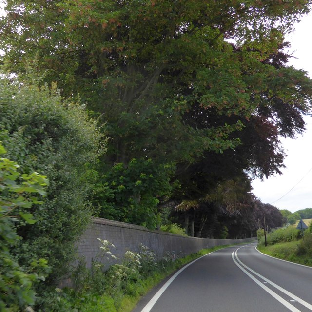
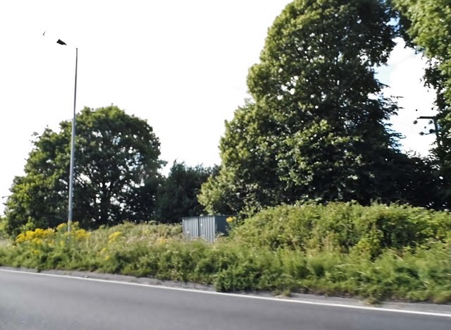
The wood is predominantly composed of deciduous trees, such as oak, beech, and birch, which create a dense canopy and provide a habitat for a variety of wildlife. The forest floor is covered in a lush carpet of ferns, bluebells, and wildflowers during the spring and summer months, adding to the area's charm.

Dullar Wood is a popular destination for nature enthusiasts, hikers, and birdwatchers due to its tranquil atmosphere and abundance of wildlife. The wood is home to numerous bird species, including woodpeckers, owls, and various songbirds. Visitors may also spot small mammals like foxes, badgers, and squirrels, as well as rare species of butterflies and insects.

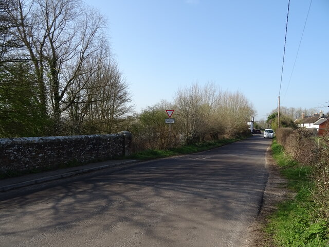
The woodland features several well-maintained footpaths and trails, allowing visitors to explore its natural wonders at their own pace. Additionally, there are picnic areas and benches scattered throughout the wood, providing opportunities for relaxation and enjoying the serene surroundings.

Dullar Wood is managed by the local authorities and is open to the public year-round. It offers a peaceful retreat from the hustle and bustle of urban life, inviting visitors to immerse themselves in the beauty of nature and experience the tranquility of the Dorset countryside.

If you have any feedback on the listing, please let us know in the comments section below.
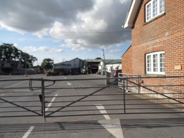
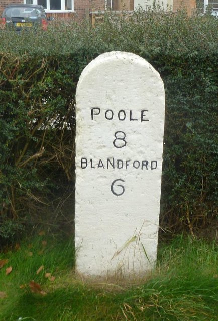
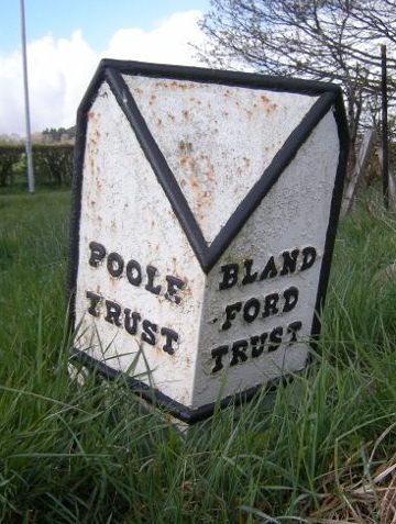
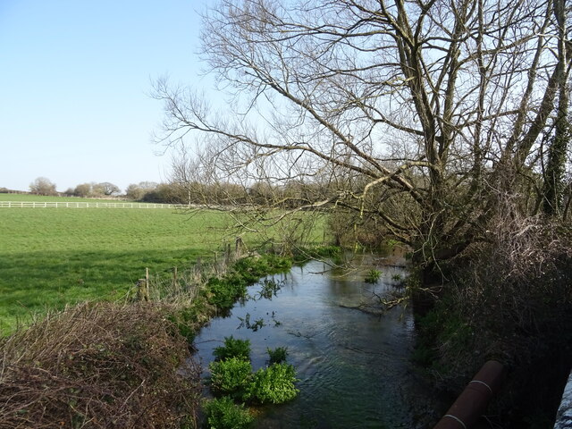
Dullar Wood Images

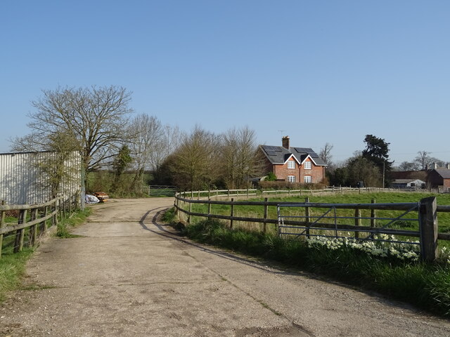
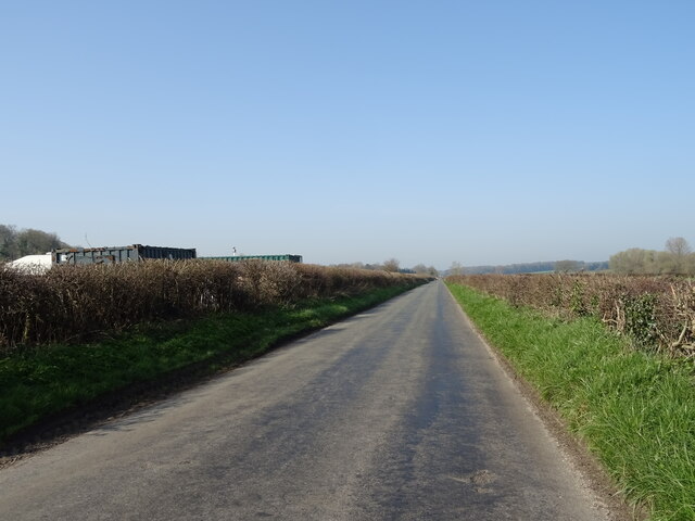
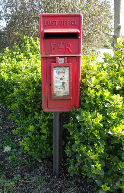
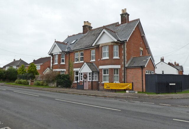
Images are sourced within 2km of 50.780888/-2.0847405 or Grid Reference SY9497. Thanks to Geograph Open Source API. All images are credited.

The eastern end of Charborough Park wall The famous wall of the deer park, beside the A31, one of the longest brick walls in England
The eastern end of Charborough Park wall
The famous wall of the deer park, beside the A31, one of the longest brick walls in England
Roundabout on the A31, Sturminster Marshall
Woodland by the A31, Sturminster Marshall
The entrance to Vines Close Farm
Vines Close Farm
Vines Close Farm
Old Milestone by the A350, south east of Sturminster Marshall Carved stone post by the A350, in parish of STURMINSTER MARSHALL (EAST DORSET District), Blandford Road, 160m North of cross-roads with Station Road, in front of Burton Lux, against hedge by a row of bungalows, on West side of road. Dorset 3 (limestone), erected by the Blandford & Poole turnpike trust in the 19th century. 

Inscription reads:-
POOLE
8
BLANDFORD
6   

Milestone Society National ID: DO_POBF08.
Old Milestone by the A350, south east of Sturminster Marshall
Carved stone post by the A350, in parish of STURMINSTER MARSHALL (EAST DORSET District), Blandford Road, 160m North of cross-roads with Station Road, in front of Burton Lux, against hedge by a row of bungalows, on West side of road. Dorset 3 (limestone), erected by the Blandford & Poole turnpike trust in the 19th century. Inscription reads:- POOLE 8 BLANDFORD 6 Milestone Society National ID: DO_POBF08.
Old Boundary Marker by the A31, Poole Road, Sturminster Marshall parish Turnpike Terminus Marker by the A350, in parish of Sturminster Marshall (East Dorset District), 500m south of Sturminster Marshall, centre of the roundabout where the A350 crosses the A31.

Inscription reads:-
: POOLE / TRUST : : BLAND- / -FORD / TRUST :

Surveyed

Milestone Society National ID: DO_POBF06t
Old Boundary Marker by the A31, Poole Road, Sturminster Marshall parish
Turnpike Terminus Marker by the A350, in parish of Sturminster Marshall (East Dorset District), 500m south of Sturminster Marshall, centre of the roundabout where the A350 crosses the A31. Inscription reads:- : POOLE / TRUST : : BLAND- / -FORD / TRUST : Surveyed Milestone Society National ID: DO_POBF06t
The River Winterborne
Grazing, Newton Peveril
Bridge on Newton Road
The Golden Fox
The Golden Fox
Sign for the Golden Fox
Grassland, Newton Peveril
Track to Newton Peveril Farm
Minor road, Newton Peveril
Elizabeth II postbox on Blandford Road Postbox No. BH21 65.
Elizabeth II postbox on Blandford Road
Postbox No. BH21 65.
April Lodge, Sturminster Marshall
The Golden Fox, Sturminster Marshall
Show me another place!

Dullar Wood is located at Grid Ref: SY9497 (Lat: 50.780888, Lng: -2.0847405)

Unitary Authority: Dorset

Police Authority: Dorset

What 3 Words

///restriction.newsprint.former. Near Sturminster Marshall, Dorset

Related Wikis

Charborough House

Charborough House, also known as Charborough Park, is a Grade I listed building, the manor house of the ancient manor of Charborough. The house is between...

Bailey Gate railway station

Bailey Gate railway station was on the Somerset & Dorset Joint Railway in the English county of Dorset. == Usage == The station served the United Dairies...

St Mary the Virgin, Lytchett Matravers

St Mary the Virgin is the Church of England parish church of Lytchett Matravers in Dorset. Its parish is part of the Diocese of Salisbury. The building...

Sturminster Marshall

Sturminster Marshall is a village and civil parish in the east of Dorset in England, situated on the River Stour between Blandford Forum and Poole. The...

Henbury, Dorset

Henbury is a hamlet in the civil parish of Sturminster Marshall in Dorset, England. It lies on the A31 road. Henbury House is a classical Georgian house...

River Winterborne

There are two River Winterbornes in Dorset, England.The rivers only flow overground during the winter, hence the name. They both flow through a number...

Almer

Almer is a village and former civil parish, now in the parish of Sturminster Marshall, in the Dorset district, in the ceremonial county of Dorset, England...

Barrow Hill, Dorset

Barrow Hill is a small settlement in Dorset, England, situated in the East Dorset administrative district on the A350 road approximately 4 miles (6.4 km...

Nearby Amenities

Located within 500m of 50.780888,-2.0847405
Power: pole
Source: bing
Voltage: 11000
Lat/Long: 50.7831956/-2.0800477
Power: pole
Source: bing
Voltage: 11000
Lat/Long: 50.7828564/-2.0813218
Power: pole
Source: bing
Voltage: 11000
Lat/Long: 50.7825427/-2.0825221
Power: pole
Source: bing
Voltage: 11000
Lat/Long: 50.781074/-2.0828614
Power: pole
Source: bing
Voltage: 11000
Lat/Long: 50.7799038/-2.0838833
Power: pole
Source: bing
Voltage: 11000
Lat/Long: 50.7777092/-2.0830706
Power: pole
Source: bing
Voltage: 11000
Lat/Long: 50.7784809/-2.0833629
Power: pole
Source: bing
Voltage: 11000
Lat/Long: 50.7791966/-2.0836285
West Wood
Ele: 85
Natural: peak
Lat/Long: 50.7802148/-2.0847229
Man Made: tower
Tower Type: communication
Lat/Long: 50.7797018/-2.0806586
Power: pole
Source: bing
Lat/Long: 50.7775617/-2.0812708
Power: pole
Source: bing
Lat/Long: 50.7776363/-2.0822082
Power: pole
Source: bing
Transformer: distribution
Lat/Long: 50.7792848/-2.0900846
Power: pole
Source: bing
Lat/Long: 50.7778814/-2.08389
Power: pole
Source: bing
Lat/Long: 50.7790966/-2.0871435
Power: pole
Source: bing
Lat/Long: 50.7782536/-2.0858239
Power: pole
Source: bing
Lat/Long: 50.7786751/-2.0871127
Power: pole
Source: bing
Lat/Long: 50.7785462/-2.0883358
Material: wood
Power: pole
Ref: 54901288
Source: survey
Source Ref: survey
Lat/Long: 50.7784228/-2.0894811
The data included in this document is from www.openstreetmap.org. The data is made available under ODbL.

Have you been to Dullar Wood?

Leave your review of Dullar Wood below (or comments, questions and feedback).