Barnett Wood
Wood, Forest in Westmorland Eden
England
Barnett Wood
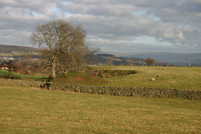
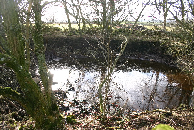
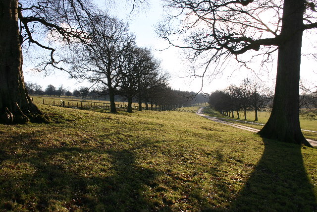
Barnett Wood, located in Westmorland, England, is a picturesque woodland area known for its natural beauty and diverse ecosystem. Covering an area of approximately 500 acres, it is a haven for wildlife enthusiasts, nature lovers, and hikers alike. The wood is characterized by its dense canopy of mature trees, predominantly oak and beech, which provide a tranquil and serene atmosphere for visitors.
The forest floor of Barnett Wood is adorned with a rich carpet of wildflowers, ferns, and mosses, creating a vibrant and colorful landscape during the spring and summer months. This abundance of plant life attracts a wide variety of fauna, including deer, foxes, badgers, and numerous species of birds.
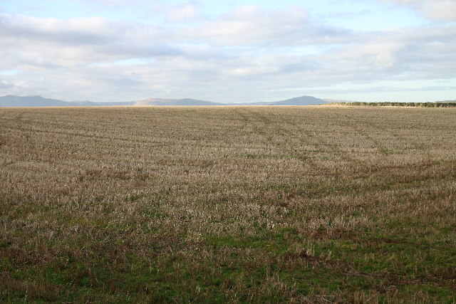
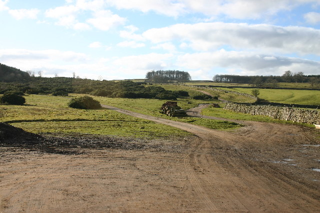
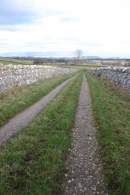
One of the highlights of Barnett Wood is its extensive network of walking trails and paths, which allows visitors to explore the wood at their own pace. These paths wind through the forest, offering breathtaking views of the surrounding countryside and glimpses of the diverse flora and fauna that call Barnett Wood home.
In addition to its natural beauty, Barnett Wood also has a historical significance. It is believed to have been a hunting ground for the local nobility in medieval times, with remnants of ancient hunting lodges still visible in certain areas.
Overall, Barnett Wood in Westmorland is a captivating destination for those seeking a peaceful retreat in nature. Its lush forests, abundant wildlife, and scenic trails make it a must-visit location for anyone interested in experiencing the beauty of the English countryside.
If you have any feedback on the listing, please let us know in the comments section below.
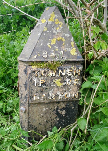
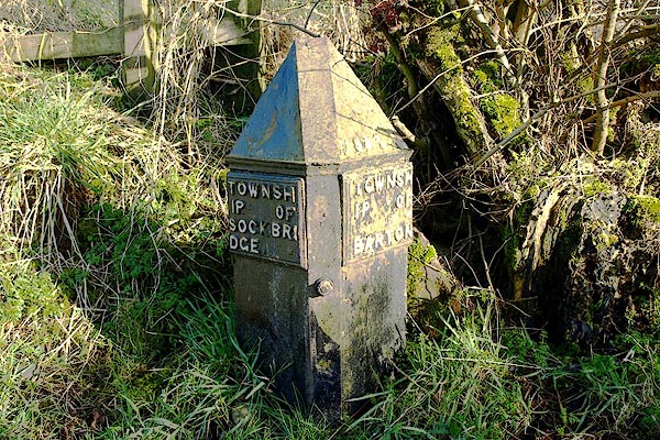
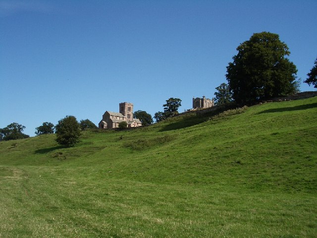
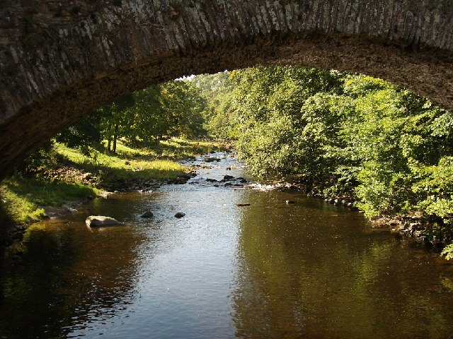
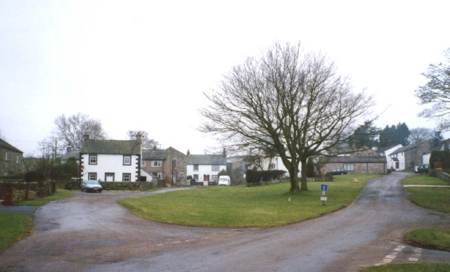
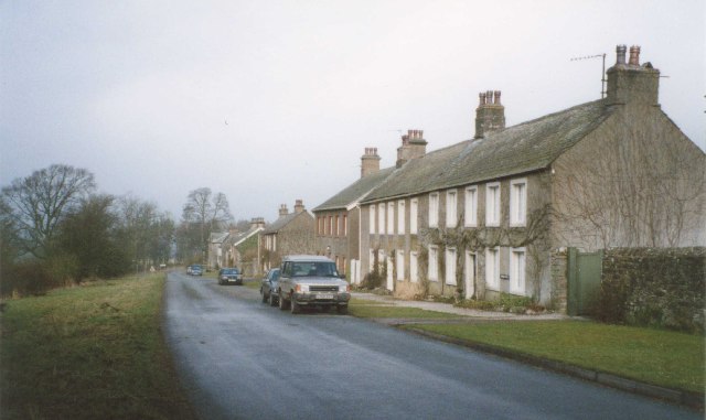
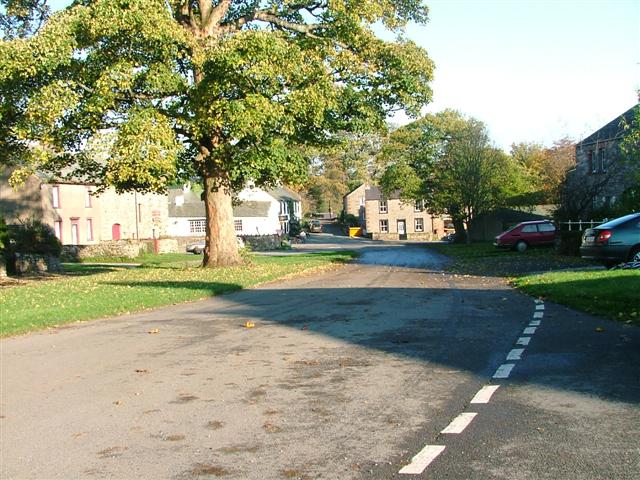
Barnett Wood Images
Images are sourced within 2km of 54.617354/-2.7545223 or Grid Reference NY5124. Thanks to Geograph Open Source API. All images are credited.


Barnett Wood is located at Grid Ref: NY5124 (Lat: 54.617354, Lng: -2.7545223)
Administrative County: Cumbria
District: Eden
Police Authority: Cumbria
What 3 Words
///mystified.enhancement.impulses. Near Penrith, Cumbria
Nearby Locations
Related Wikis

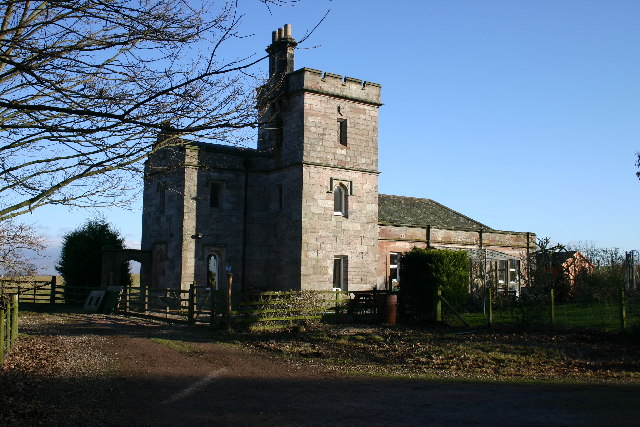
Lowther Castle Stead
Lowther Castle Stead is a medieval site in Cumbria, possibly a ringwork castle. Lancaster University Archaeology Unit carried out a survey of the earthworks...

Askham Hall
Askham Hall is a country house near Askham in Cumbria. It is a Grade I listed building. == History == A peel tower was built on the site during the 14th...

Sockbridge and Tirril
Sockbridge and Tirril is a small civil parish in Eden District, Cumbria. It had a population of 397 in 2001, increasing to 415 at the 2011 Census. It comprises...
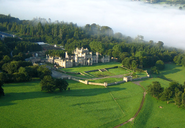
Lowther Castle
Lowther Castle is a country house in the historic county of Westmorland, which now under the current unitary authority of Westmorland and Furness, in the...

Askham, Cumbria
Askham is a village and civil parish in the Eden district of Cumbria, England. It is in the historic county of Westmorland. According to the 2001 census...

River Lowther
The River Lowther is a small river which flows through limestone rock in Cumbria, England. It is a tributary of the River Eamont which in turn is a tributary...

Clifton Moor Skirmish
The Clifton Moor Skirmish took place on the evening of Wednesday 18 December during the Jacobite rising of 1745. Following the decision to retreat from...

Clifton, Cumbria
Clifton is a small linear village and civil parish in Cumbria, England. Historically part of Westmorland, it lies 3 miles (4.8 km) south east of Penrith...
Nearby Amenities
Located within 500m of 54.617354,-2.7545223Have you been to Barnett Wood?
Leave your review of Barnett Wood below (or comments, questions and feedback).