Castlesteads Plantation

Wood, Forest in Westmorland Eden

England

Castlesteads Plantation

Lowther Park Shot when taking a lovely walk along the side of the river Lowther
Lowther Park Credit: John Gibson

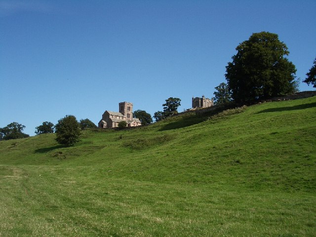
Castlesteads Plantation is a picturesque woodland located in the county of Westmorland, in the northwestern region of England. Nestled amidst the stunning landscape of the Lake District National Park, this plantation covers an area of approximately 100 hectares.

The woodland is predominantly composed of native tree species, including oak, birch, and beech, which create a diverse and vibrant ecosystem. The rich biodiversity of Castlesteads Plantation provides a habitat for a wide range of flora and fauna, with numerous bird species, such as the great spotted woodpecker and tawny owl, making it their home.

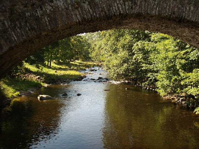
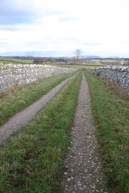
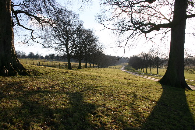
Visitors to Castlesteads Plantation can explore a network of well-maintained footpaths that meander through the woodland. These paths offer a chance to immerse oneself in nature and take in the breathtaking views of the surrounding countryside.

The plantation also holds historical significance, as the remains of an ancient Roman fort, known as Castlesteads, can be found within its boundaries. This fort served as a strategic military outpost during the Roman occupation of Britain and provides a glimpse into the region's rich history.

Castlesteads Plantation is popular among nature enthusiasts, hikers, and bird watchers alike. Its tranquil and serene atmosphere offers a peaceful retreat from the hustle and bustle of everyday life. With its stunning natural beauty and historical significance, Castlesteads Plantation is a must-visit destination for anyone seeking to explore the captivating landscapes of Westmorland.

If you have any feedback on the listing, please let us know in the comments section below.

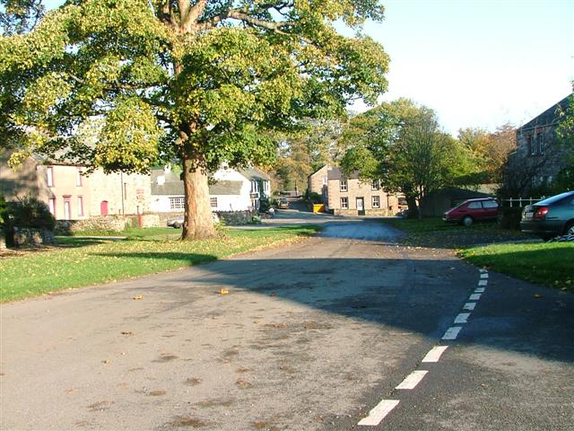
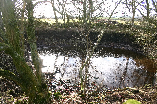
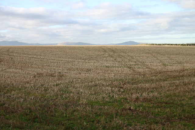
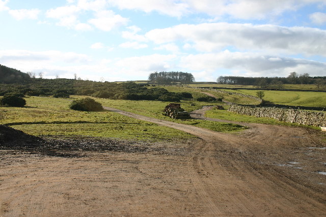
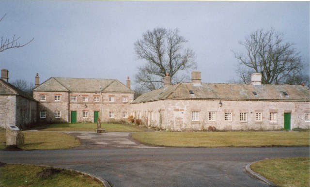
Castlesteads Plantation Images

Images are sourced within 2km of 54.609704/-2.7462987 or Grid Reference NY5124. Thanks to Geograph Open Source API. All images are credited.

Lowther Park Shot when taking a lovely walk along the side of the river Lowther
Lowther Park
Shot when taking a lovely walk along the side of the river Lowther
River Lowther under Low Gardens Bridge
Upper Green, Askham Askham is noted for its large expanse of greens.  They are divided by the road from Penrith to Bampton, and the upper green is smaller and probably less well-known than the lower green, which is by the road leading to the church and Lowther.
Upper Green, Askham
Askham is noted for its large expanse of greens. They are divided by the road from Penrith to Bampton, and the upper green is smaller and probably less well-known than the lower green, which is by the road leading to the church and Lowther.
Model Village, Lowther These estate houses were built in 1773 after drawings for a 'model' village by Robert Adam.  They were (in 2002) being modernised for a housing association, reducing the number of dwellings.
Model Village, Lowther
These estate houses were built in 1773 after drawings for a 'model' village by Robert Adam. They were (in 2002) being modernised for a housing association, reducing the number of dwellings.
Newtown, Lowther These estate houses were built next to the Home Farm to replace the old village that was demolished in 1685.  However the 17C houses had hipped roofs, so the terraces in this picture are probably later (19C?).
Newtown, Lowther
These estate houses were built next to the Home Farm to replace the old village that was demolished in 1685. However the 17C houses had hipped roofs, so the terraces in this picture are probably later (19C?).
Askham View East From Upper Green
Lowther Castle, Cumbria The most significant feature in this grid square has been the family seat of the Earls of Lonsdale from time immemorial. After the death of the fifth Earl the Castle was abandoned, the interior was dismantled and only the walls left standing as a memorial to past glories.
<span class="nowrap"><a title="http://www.visitcumbria.com/pen/lowthcas.htm" rel="nofollow ugc noopener" href="http://www.visitcumbria.com/pen/lowthcas.htm">Link</a><img style="margin-left:2px;" alt="External link" title="External link - shift click to open in new window" src="https://s1.geograph.org.uk/img/external.png" width="10" height="10"/></span>
Lowther Castle, Cumbria
The most significant feature in this grid square has been the family seat of the Earls of Lonsdale from time immemorial. After the death of the fifth Earl the Castle was abandoned, the interior was dismantled and only the walls left standing as a memorial to past glories. LinkExternal link
M6 under the A6. I hope you agree this has produced an unusual photograph.
M6 under the A6.
I hope you agree this has produced an unusual photograph.
Mini Reservoir Not on the scale of Kielder Water, this one measures about 10m across and still holds water, even though long disused.
Mini Reservoir
Not on the scale of Kielder Water, this one measures about 10m across and still holds water, even though long disused.
Stubble Field The Ullswater Fells are in the far distance.
Stubble Field
The Ullswater Fells are in the far distance.
Path Meeting above Askham The bridleway to the right leads onto Askham Fell.
Path Meeting above Askham
The bridleway to the right leads onto Askham Fell.
Farmland Between Plantations Grazed by sheep. There are gamebird rearing pens in the woods to the right.
Farmland Between Plantations
Grazed by sheep. There are gamebird rearing pens in the woods to the right.
Mirebank Plantation On the open, wild fells above Askham, this straight-sided plantation looks very out-of-place.
Mirebank Plantation
On the open, wild fells above Askham, this straight-sided plantation looks very out-of-place.
Bridleway Looking over the Eden Valley towards the Pennines and Cross Fell
Bridleway
Looking over the Eden Valley towards the Pennines and Cross Fell
Ponies on Rough Land The grazing here is too poor to support ponies and horses, hence the hay feed. The area is criss-crossed with bridleways, and riding is a popular pastime and industry here.
Ponies on Rough Land
The grazing here is too poor to support ponies and horses, hence the hay feed. The area is criss-crossed with bridleways, and riding is a popular pastime and industry here.
Private Drive in Lowther Park Only estate workers allowed here, so very quiet and tranquil.
Private Drive in Lowther Park
Only estate workers allowed here, so very quiet and tranquil.
Buckholme Lodge On the Lowther Estate, reached only by a private drive.
Buckholme Lodge
On the Lowther Estate, reached only by a private drive.
Parkland Part of the Lowther Estate
Parkland
Part of the Lowther Estate
Show me another place!

Castlesteads Plantation is located at Grid Ref: NY5124 (Lat: 54.609704, Lng: -2.7462987)

Administrative County: Cumbria

District: Eden

Police Authority: Cumbria

What 3 Words

///powering.booth.dividing. Near Penrith, Cumbria

Related Wikis

Nearby Amenities

Located within 500m of 54.609704,-2.7462987
Barrier: cattle_grid
Source: survey
Lat/Long: 54.6096068/-2.7481755
Barrier: cattle_grid
Lat/Long: 54.6079291/-2.7467317
Castle Gift Shop
Shop: gift
Lat/Long: 54.6076699/-2.7401534
Cafe
Castle Cafe
Addr City: Lowther
Addr Housename: Lowther Castle
Addr Postcode: CA10 2HH
Fhrs Id: 351876
Lat/Long: 54.6072489/-2.7403519
Toilets
Access: yes
Fee: no
Toilets Disposal: flush
Unisex: yes
Wheelchair: yes
Lat/Long: 54.6073157/-2.7401319
Heining Bank
Place: locality
Lat/Long: 54.6135464/-2.7499354
Barrier: cattle_grid
Source: survey
Lat/Long: 54.6119082/-2.7456634
Waste Basket
Lat/Long: 54.6078825/-2.7478972
Turning Circle
Lat/Long: 54.6077008/-2.739869
Bicycle: yes
Hiking: yes
Information: map
Operator: Lowther Estate
Tourism: information
Lat/Long: 54.6080297/-2.7467014
Bicycle: yes
Hiking: yes
Information: guidepost
Tourism: information
Lat/Long: 54.6081004/-2.7467282
St Peter's Askham
Board Type: notice
Information: board
Tourism: information
Lat/Long: 54.6078161/-2.7477703
Askham - a brief history
Board Type: history
Information: board
Tourism: information
Lat/Long: 54.6078569/-2.7478708
Leisure: outdoor_seating
Lat/Long: 54.6070914/-2.7505866
The data included in this document is from www.openstreetmap.org. The data is made available under ODbL.

Have you been to Castlesteads Plantation?

Leave your review of Castlesteads Plantation below (or comments, questions and feedback).