Church Wood

Wood, Forest in Westmorland Eden

England

Church Wood

Lowther Park Shot when taking a lovely walk along the side of the river Lowther
Lowther Park Credit: John Gibson

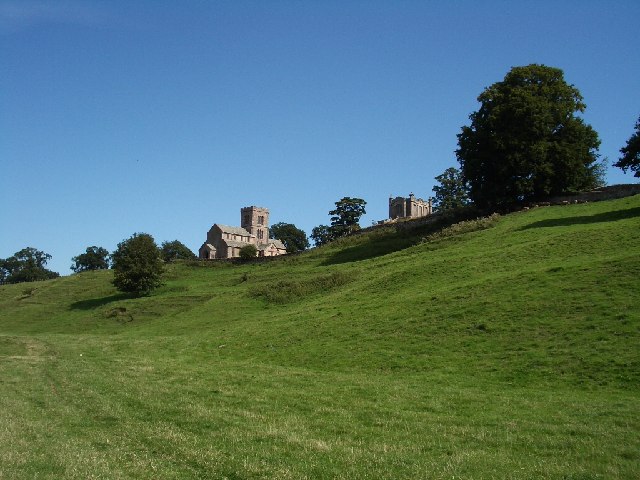
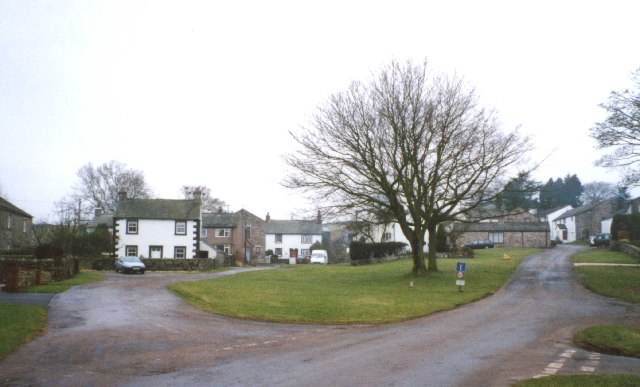
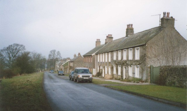
Church Wood is a picturesque forest located in the historic county of Westmorland, England. Situated amidst the beautiful countryside, this woodland area covers a significant expanse of approximately 100 acres. The forest is renowned for its natural beauty, tranquil ambiance, and diverse wildlife, making it a popular destination for nature enthusiasts and hikers alike.

The wood is predominantly composed of broadleaf trees, including oak, ash, and beech, which provide a dense canopy that filters sunlight, creating a dappled effect on the forest floor. This, along with the presence of various wildflowers, creates a stunning visual spectacle, particularly during the spring and summer months.

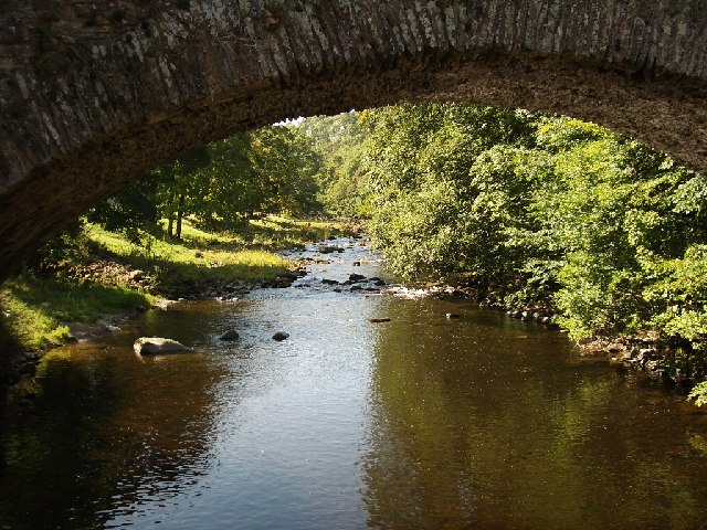
Church Wood is intersected by a network of well-maintained footpaths, allowing visitors to explore its enchanting surroundings. These paths lead to a remarkable sight known as the "Church Wood Oak," a majestic ancient tree that has stood tall for centuries, acting as a symbol of the area's rich history and natural heritage.

The woodland is also home to a diverse range of wildlife, including deer, squirrels, and an abundance of bird species. Birdwatchers frequent the area to catch a glimpse of species such as woodpeckers, nuthatches, and tawny owls that inhabit the forest. Additionally, the forest provides a habitat for rare plants and fungi, adding to its ecological significance.

Church Wood offers a tranquil escape from the hustle and bustle of urban life, with its serene atmosphere and breathtaking scenery. Whether it's a leisurely stroll, a picnic amidst nature, or an exploration of the local flora and fauna, this woodland is a true gem in the heart of Westmorland.

If you have any feedback on the listing, please let us know in the comments section below.
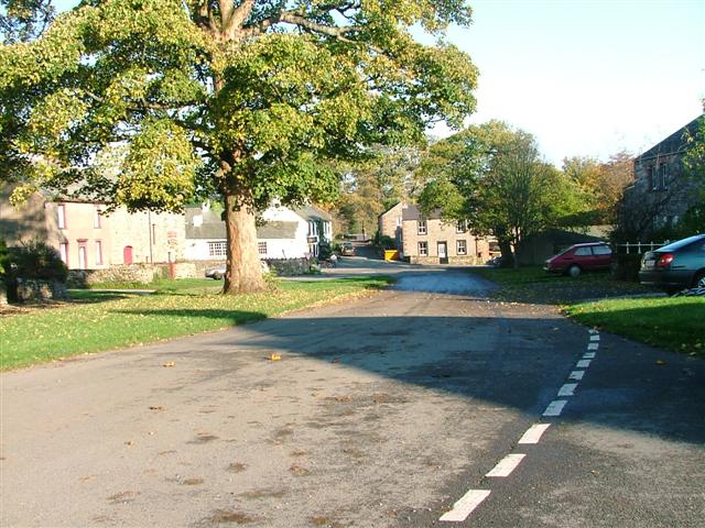
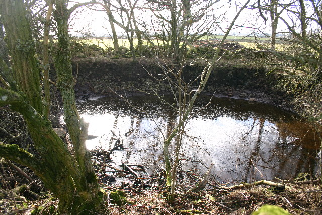
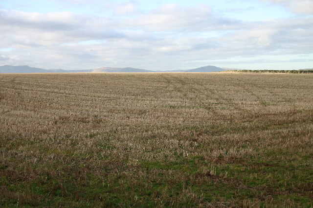
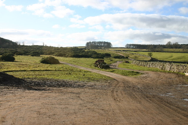
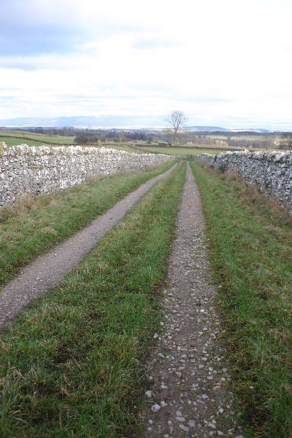
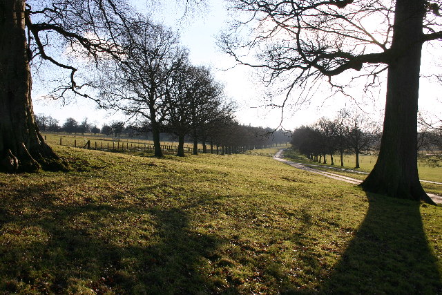
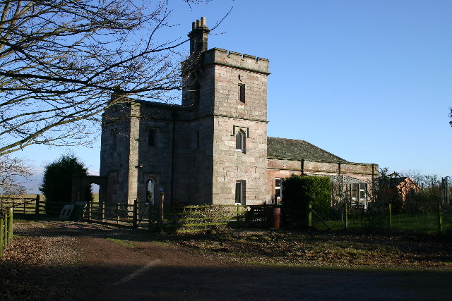
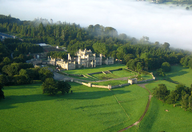
Church Wood Images

Images are sourced within 2km of 54.614925/-2.747695 or Grid Reference NY5124. Thanks to Geograph Open Source API. All images are credited.

Lowther Park Shot when taking a lovely walk along the side of the river Lowther
Lowther Park
Shot when taking a lovely walk along the side of the river Lowther
River Lowther under Low Gardens Bridge
Upper Green, Askham Askham is noted for its large expanse of greens.  They are divided by the road from Penrith to Bampton, and the upper green is smaller and probably less well-known than the lower green, which is by the road leading to the church and Lowther.
Upper Green, Askham
Askham is noted for its large expanse of greens. They are divided by the road from Penrith to Bampton, and the upper green is smaller and probably less well-known than the lower green, which is by the road leading to the church and Lowther.
Newtown, Lowther These estate houses were built next to the Home Farm to replace the old village that was demolished in 1685.  However the 17C houses had hipped roofs, so the terraces in this picture are probably later (19C?).
Newtown, Lowther
These estate houses were built next to the Home Farm to replace the old village that was demolished in 1685. However the 17C houses had hipped roofs, so the terraces in this picture are probably later (19C?).
Askham View East From Upper Green
Lowther Castle, Cumbria The most significant feature in this grid square has been the family seat of the Earls of Lonsdale from time immemorial. After the death of the fifth Earl the Castle was abandoned, the interior was dismantled and only the walls left standing as a memorial to past glories.
<span class="nowrap"><a title="http://www.visitcumbria.com/pen/lowthcas.htm" rel="nofollow ugc noopener" href="http://www.visitcumbria.com/pen/lowthcas.htm">Link</a><img style="margin-left:2px;" alt="External link" title="External link - shift click to open in new window" src="https://s1.geograph.org.uk/img/external.png" width="10" height="10"/></span>
Lowther Castle, Cumbria
The most significant feature in this grid square has been the family seat of the Earls of Lonsdale from time immemorial. After the death of the fifth Earl the Castle was abandoned, the interior was dismantled and only the walls left standing as a memorial to past glories. LinkExternal link
Mini Reservoir Not on the scale of Kielder Water, this one measures about 10m across and still holds water, even though long disused.
Mini Reservoir
Not on the scale of Kielder Water, this one measures about 10m across and still holds water, even though long disused.
Stubble Field The Ullswater Fells are in the far distance.
Stubble Field
The Ullswater Fells are in the far distance.
Path Meeting above Askham The bridleway to the right leads onto Askham Fell.
Path Meeting above Askham
The bridleway to the right leads onto Askham Fell.
Bridleway Looking over the Eden Valley towards the Pennines and Cross Fell
Bridleway
Looking over the Eden Valley towards the Pennines and Cross Fell
Ponies on Rough Land The grazing here is too poor to support ponies and horses, hence the hay feed. The area is criss-crossed with bridleways, and riding is a popular pastime and industry here.
Ponies on Rough Land
The grazing here is too poor to support ponies and horses, hence the hay feed. The area is criss-crossed with bridleways, and riding is a popular pastime and industry here.
Private Drive in Lowther Park Only estate workers allowed here, so very quiet and tranquil.
Private Drive in Lowther Park
Only estate workers allowed here, so very quiet and tranquil.
The Hag This odd-shaped plantation shows clearly on map and ground. Deciduous trees on left, coniferous on right with the odd one ....
The Hag
This odd-shaped plantation shows clearly on map and ground. Deciduous trees on left, coniferous on right with the odd one ....
Standing Stones Located in Lowther Estates, and about 200m from the M6, the backdrop of the Pennines is breathtaking. Great Dun Fell with its "Golfball" on the summit lies between the two stones.
Standing Stones
Located in Lowther Estates, and about 200m from the M6, the backdrop of the Pennines is breathtaking. Great Dun Fell with its "Golfball" on the summit lies between the two stones.
Buckholme Lodge On the Lowther Estate, reached only by a private drive.
Buckholme Lodge
On the Lowther Estate, reached only by a private drive.
Parkland Part of the Lowther Estate
Parkland
Part of the Lowther Estate
Modern Bridge Over River Lowther Just a few metres from the old bridge.
Modern Bridge Over River Lowther
Just a few metres from the old bridge.
Old (Low Gardens) Bridge Over River Lowther Just a few metres from the new bridge.
Old (Low Gardens) Bridge Over River Lowther
Just a few metres from the new bridge.
Show me another place!

Church Wood is located at Grid Ref: NY5124 (Lat: 54.614925, Lng: -2.747695)

Administrative County: Cumbria

District: Eden

Police Authority: Cumbria

What 3 Words

///repair.headboard.tabs. Near Penrith, Cumbria

Related Wikis

Nearby Amenities

Located within 500m of 54.614925,-2.747695
Heining Wood
Natural: wood
Lat/Long: 54.6156464/-2.7499783
Heining Bank
Place: locality
Lat/Long: 54.6135464/-2.7499354
Barrier: cattle_grid
Source: survey
Lat/Long: 54.6119082/-2.7456634
Barrier: stile
Stile: ladder
Lat/Long: 54.6132658/-2.7515339
The data included in this document is from www.openstreetmap.org. The data is made available under ODbL.

Have you been to Church Wood?

Leave your review of Church Wood below (or comments, questions and feedback).