Street Wood
Wood, Forest in Lancashire Wyre
England
Street Wood
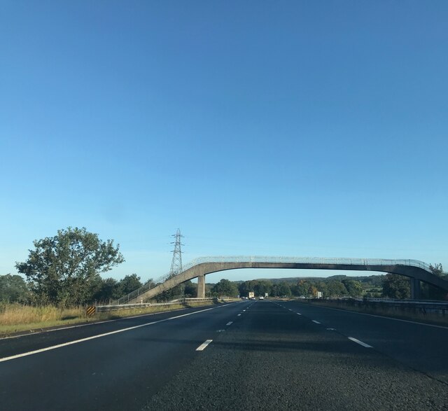
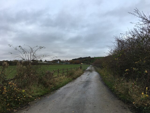
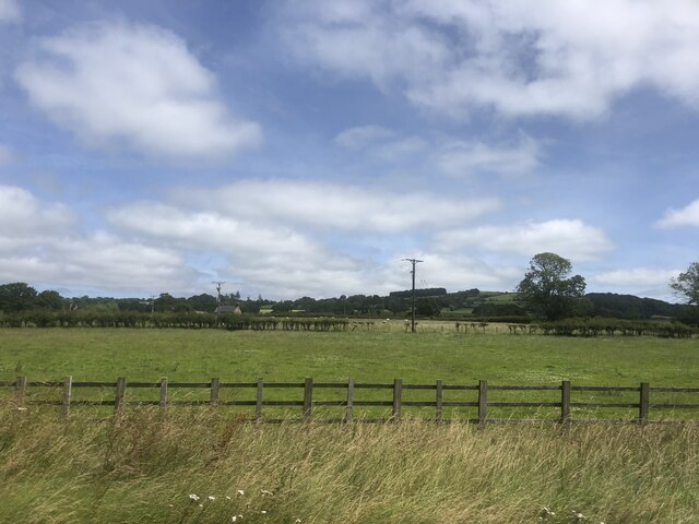
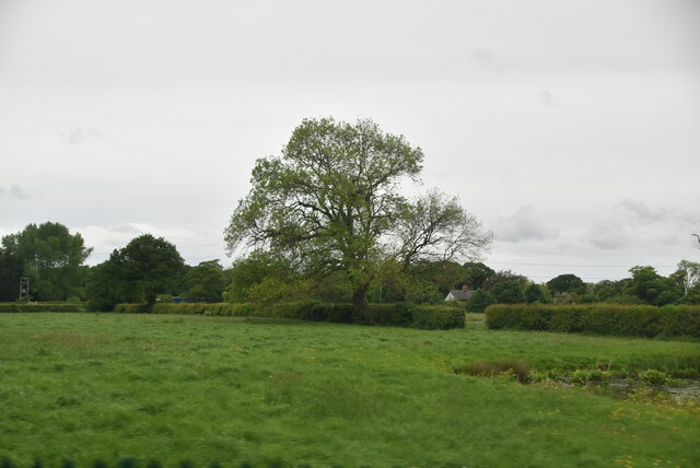
Street Wood is a small forested area located in the county of Lancashire, England. Spanning an approximate area of 10 hectares, it is situated near the village of Wood and is named after the nearby road, Street Road. The wood is a popular recreational spot for locals and visitors alike, offering a tranquil escape from the hustle and bustle of urban life.
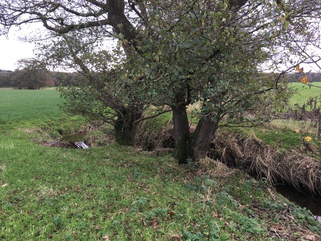
The woodland consists primarily of deciduous trees, with a mix of oak, birch, and beech being the dominant species. These trees create a dense canopy that provides shade and shelter for a diverse range of flora and fauna. Wildflowers such as bluebells, primroses, and foxgloves can be found carpeting the forest floor during the spring months, adding a burst of color to the landscape.
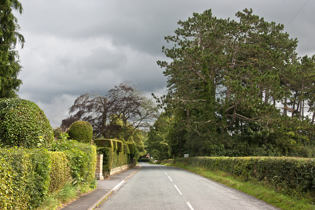
A network of well-maintained footpaths crisscross the wood, allowing visitors to explore its various nooks and crannies. These paths offer opportunities for leisurely walks, jogging, or even cycling, making Street Wood a popular destination for outdoor enthusiasts. The wood is also home to a variety of wildlife, including several species of birds, squirrels, rabbits, and the occasional deer. Birdwatchers can spot woodpeckers, owls, and thrushes among the tree branches, while lucky visitors may catch a glimpse of a fox or badger scurrying through the undergrowth.
Overall, Street Wood is a picturesque and serene woodland area that offers a delightful escape into nature for those seeking tranquility and natural beauty.
If you have any feedback on the listing, please let us know in the comments section below.
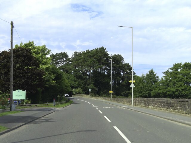
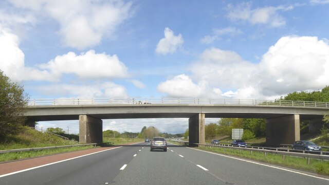
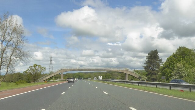
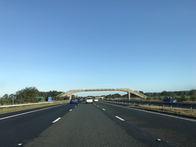
Street Wood Images
Images are sourced within 2km of 53.878331/-2.74118 or Grid Reference SD5142. Thanks to Geograph Open Source API. All images are credited.


Street Wood is located at Grid Ref: SD5142 (Lat: 53.878331, Lng: -2.74118)
Administrative County: Lancashire
District: Wyre
Police Authority: Lancashire
What 3 Words
///wants.shook.develops. Near Catterall, Lancashire
Nearby Locations
Related Wikis

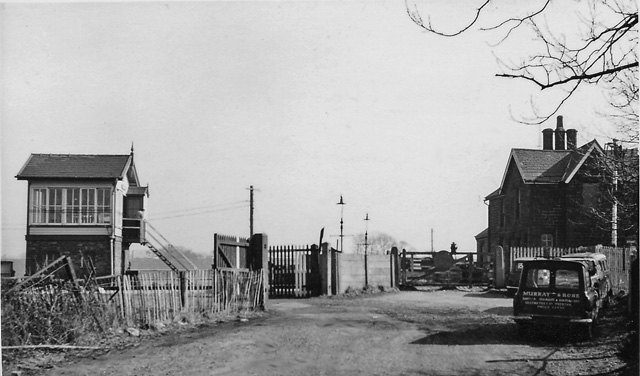
Garstang and Catterall railway station
Garstang and Catterall railway station served as the interchange between the Garstang and Knot-End Railway and the London and North Western Railway, in...

Claughton, Wyre
Claughton ( KLY-tən) is a sparse village and civil parish in the county of Lancashire in the north of England, in the Borough of Wyre. The population of...

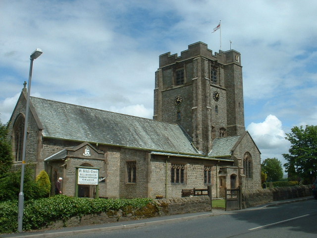
Catterall
Catterall is a village and civil parish in the borough of Wyre, Lancashire, England. Historically in the Amounderness Hundred, it is situated on the A6...

Garstang Community Academy
Garstang Community Academy (formerly Garstang High School) is a secondary school with academy status in the parish of Barnacre-with-Bonds near Garstang...

Bowgreave
Bowgreave is a village in the parish of Barnacre-with-Bonds, Lancashire, England. Its nearest town is Garstang, a mile to the north. Garstang Community...
Brock railway station
Brock railway station served the hamlet of Brock near Bilsborrow, Lancashire, England, from 1849 to 1939 on the Lancaster and Preston Junction Railway...
Bilsborrow
Bilsborrow is a village and former civil parish, now in the parish of Myerscough and Bilsborrow, in the Wyre district, in the county of Lancashire, England...
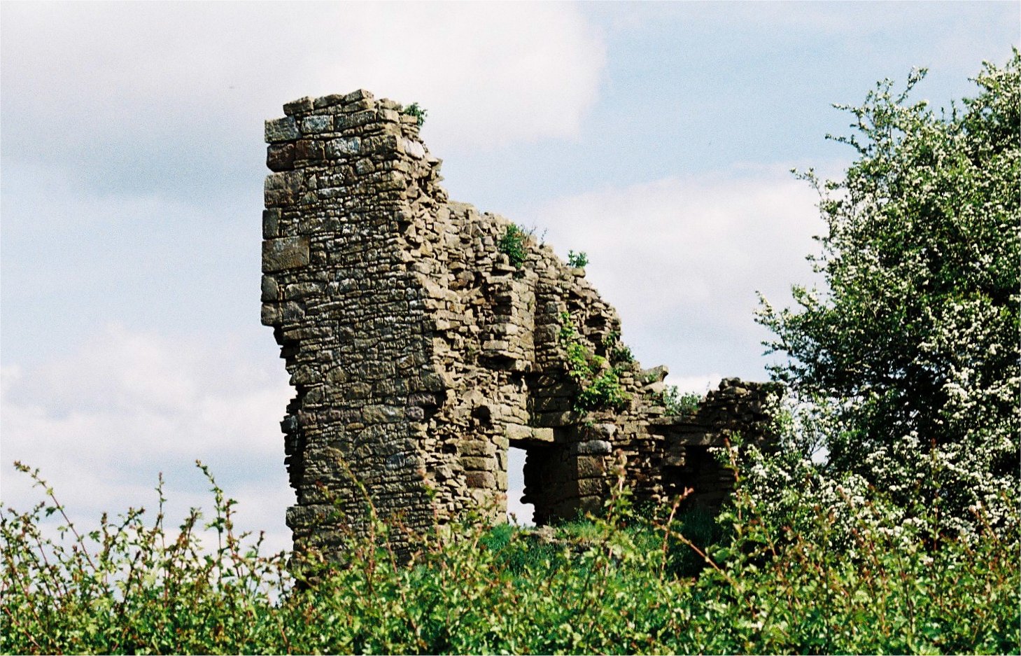
Greenhalgh Castle
Greenhalgh Castle is a castle, now ruined, near the town of Garstang in Lancashire, England. Thomas Stanley, 1st Earl of Derby, had the castle built in...
Nearby Amenities
Located within 500m of 53.878331,-2.74118Have you been to Street Wood?
Leave your review of Street Wood below (or comments, questions and feedback).