Fox Covert Wood
Wood, Forest in Lancashire Wyre
England
Fox Covert Wood
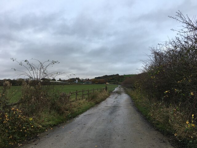
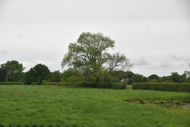
Fox Covert Wood is a picturesque woodland located in Lancashire, England. It covers an area of approximately 50 acres and is a popular destination for nature lovers and outdoor enthusiasts. The wood is situated near the village of Fox Covert, hence its name, and is easily accessible by foot or by car.
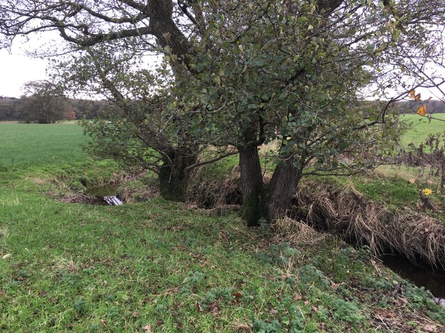
The woodland is primarily composed of deciduous trees, including oak, beech, and birch, which create a diverse and vibrant landscape throughout the year. The forest floor is covered with a rich carpet of wildflowers, ferns, and mosses, providing a habitat for a variety of wildlife.
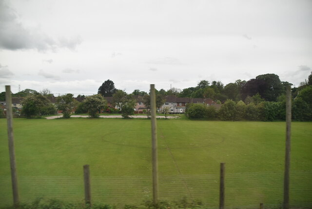
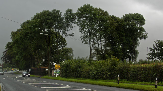
Visitors to Fox Covert Wood can enjoy a tranquil and peaceful environment, perfect for walking, birdwatching, or simply taking in the beauty of nature. There are several well-maintained trails that lead through the wood, allowing visitors to explore its different sections and discover its hidden wonders.
The wood is home to a wide range of wildlife, including foxes, badgers, squirrels, and numerous bird species, such as woodpeckers, owls, and thrushes. It is also a haven for insect and butterfly species, attracting nature enthusiasts and photographers.
Fox Covert Wood is a designated Site of Special Scientific Interest (SSSI) due to its ecological importance and unique biodiversity. Conservation efforts are in place to protect and preserve the woodland and its inhabitants.
Overall, Fox Covert Wood offers a peaceful retreat from the hustle and bustle of everyday life, providing visitors with a chance to reconnect with nature and enjoy the beauty of Lancashire's woodlands.
If you have any feedback on the listing, please let us know in the comments section below.
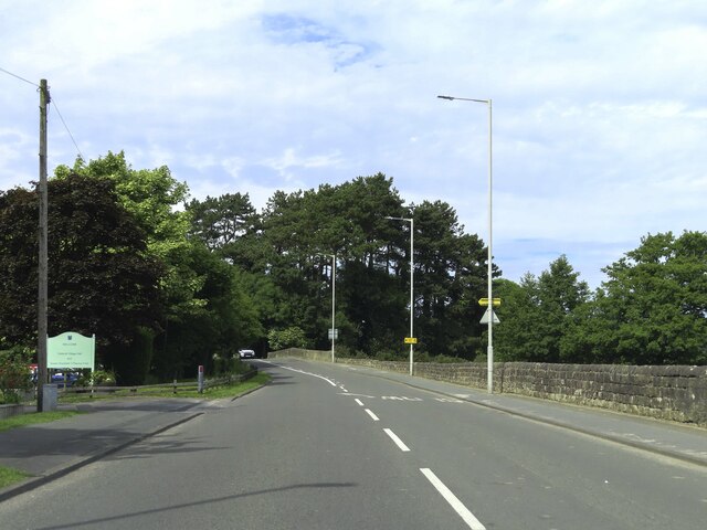
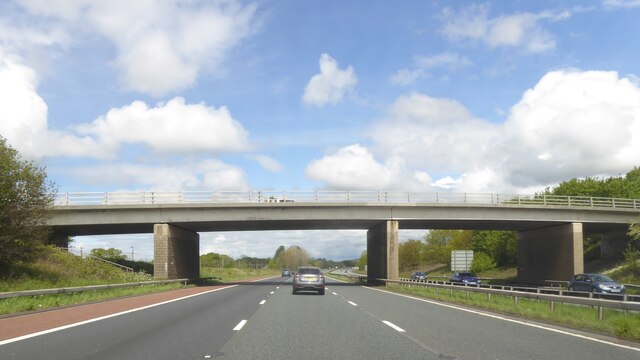
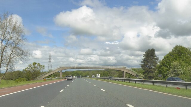
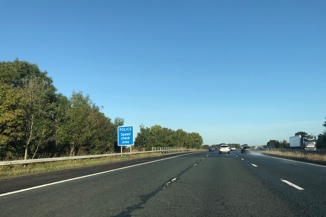
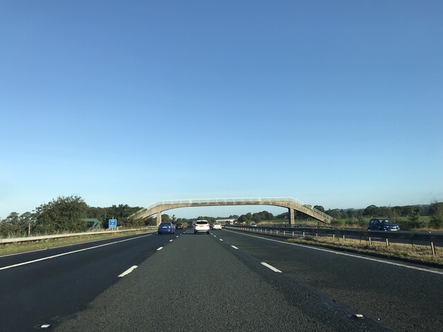
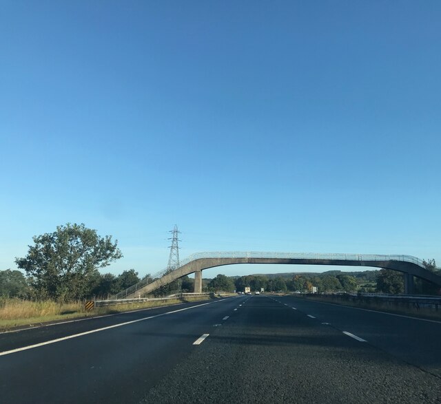
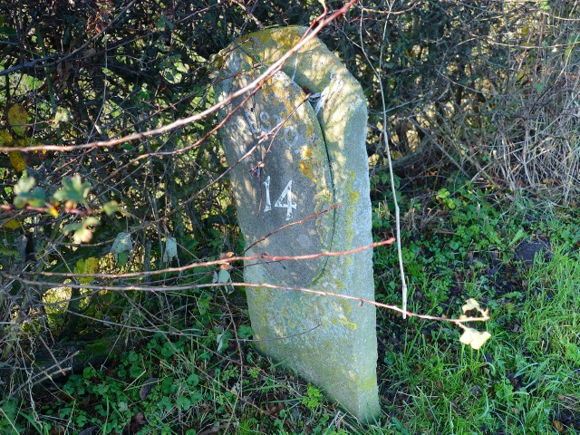
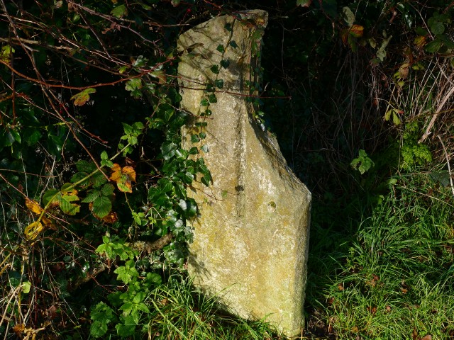
Fox Covert Wood Images
Images are sourced within 2km of 53.87254/-2.7430243 or Grid Reference SD5142. Thanks to Geograph Open Source API. All images are credited.


Fox Covert Wood is located at Grid Ref: SD5142 (Lat: 53.87254, Lng: -2.7430243)
Administrative County: Lancashire
District: Wyre
Police Authority: Lancashire
What 3 Words
///lyricism.evolves.mice. Near Catterall, Lancashire
Nearby Locations
Related Wikis

Claughton, Wyre
Claughton ( KLY-tən) is a sparse village and civil parish in the county of Lancashire in the north of England, in the Borough of Wyre. The population of...
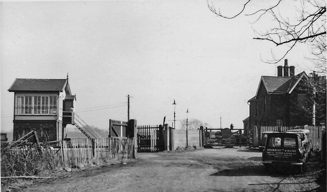
Brock railway station
Brock railway station served the hamlet of Brock near Bilsborrow, Lancashire, England, from 1849 to 1939 on the Lancaster and Preston Junction Railway...

Catterall
Catterall is a village and civil parish in the borough of Wyre, Lancashire, England. Historically in the Amounderness Hundred, it is situated on the A6...

Garstang and Catterall railway station
Garstang and Catterall railway station served as the interchange between the Garstang and Knot-End Railway and the London and North Western Railway, in...
Bilsborrow
Bilsborrow is a village and former civil parish, now in the parish of Myerscough and Bilsborrow, in the Wyre district, in the county of Lancashire, England...

Roebuck railway station
Roebuck railway station served the village of Bilsborrow, Lancashire, England, from 1840 to 1849 on the Lancaster and Preston Junction Railway. == History... ==
St Hilda's Church, Bilsborrow
St Hilda's Church is in Bilsborrow Lane in the village of Bilsborrow, Lancashire, England. It is an active Anglican parish church in the deanery of Garstang...

Garstang Community Academy
Garstang Community Academy (formerly Garstang High School) is a secondary school with academy status in the parish of Barnacre-with-Bonds near Garstang...
Nearby Amenities
Located within 500m of 53.87254,-2.7430243Have you been to Fox Covert Wood?
Leave your review of Fox Covert Wood below (or comments, questions and feedback).