Hillend Coppice
Wood, Forest in Shropshire
England
Hillend Coppice
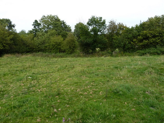
Hillend Coppice is a picturesque woodland located in the rural county of Shropshire, England. Spanning over several acres, this ancient forest is a haven for nature enthusiasts and offers a tranquil escape from the bustling city life.
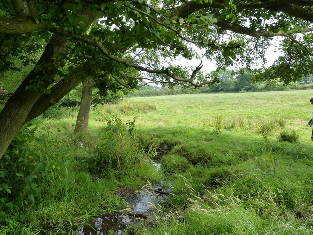
The coppice, which refers to a woodland area that has been traditionally managed by regularly cutting down trees, is predominantly composed of oak, ash, and birch trees. These towering giants provide a dense canopy that filters sunlight, creating a cool and shaded atmosphere beneath. The forest floor is covered with a rich carpet of moss, ferns, and wildflowers, adding to the overall enchanting ambiance of Hillend Coppice.
The woodland is home to a diverse range of wildlife, making it a popular spot for birdwatchers and nature photographers. Visitors may catch a glimpse of woodland species such as tawny owls, woodpeckers, and various small mammals scurrying through the undergrowth. The presence of a small stream running through the coppice further enhances its biodiversity, attracting amphibians and insects.
Hillend Coppice is a designated Site of Special Scientific Interest (SSSI), emphasizing its ecological significance and the need for its preservation. The forest is managed by the local authorities, who ensure that the delicate balance of the ecosystem is maintained while allowing visitors to enjoy its natural beauty.
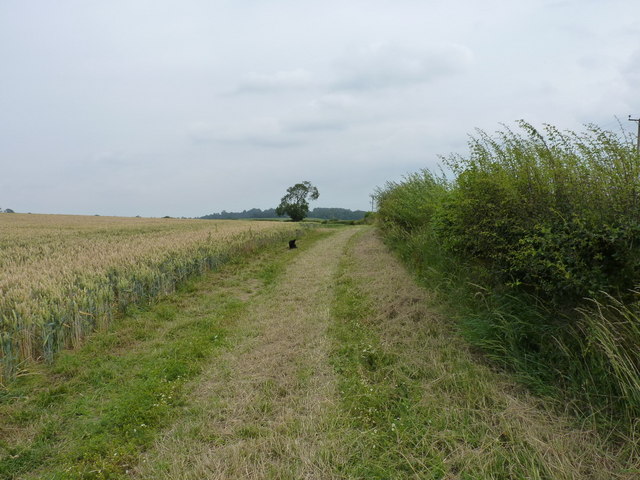
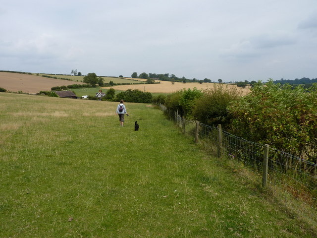
For those seeking peaceful walks, Hillend Coppice offers a network of well-maintained footpaths that meander through the woodland, allowing visitors to explore its hidden gems. Whether it's a leisurely stroll or a more adventurous hike, this ancient forest promises a memorable experience for all.
If you have any feedback on the listing, please let us know in the comments section below.
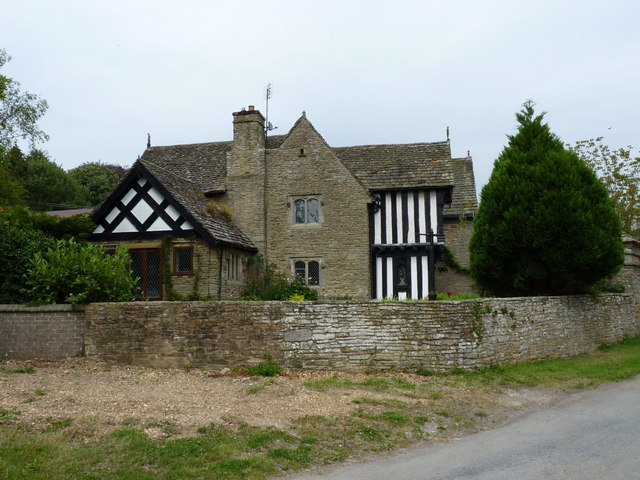
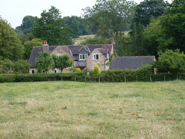
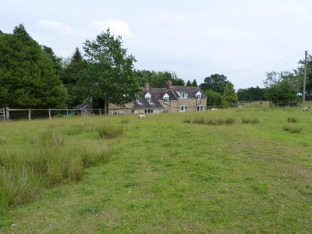
Hillend Coppice Images
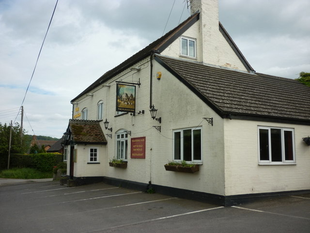
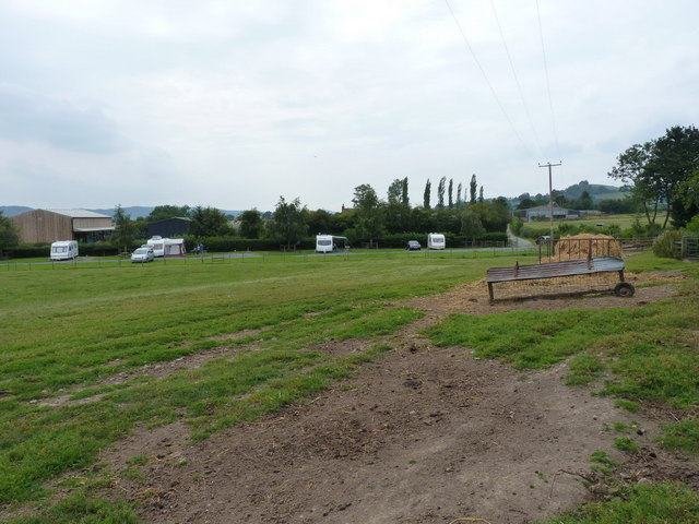
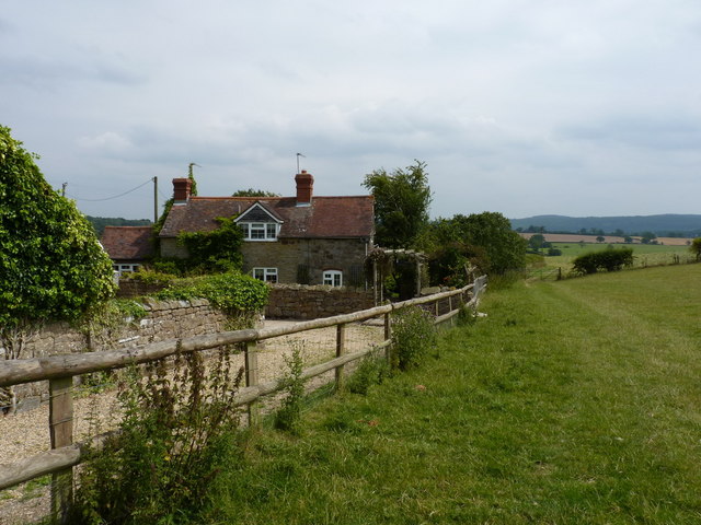
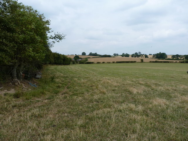
Images are sourced within 2km of 52.543854/-2.7203949 or Grid Reference SO5194. Thanks to Geograph Open Source API. All images are credited.
Hillend Coppice is located at Grid Ref: SO5194 (Lat: 52.543854, Lng: -2.7203949)
Unitary Authority: Shropshire
Police Authority: West Mercia
What 3 Words
///proven.unionists.tigers. Near Cardington, Shropshire
Nearby Locations
Related Wikis

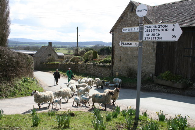
Gretton, Shropshire
Gretton is a hamlet in the civil parish of Cardington, in the Shropshire district, in the ceremonial county of Shropshire. It lies immediately to the east...
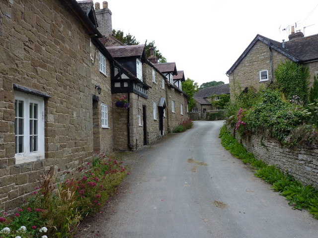
Cardington, Shropshire
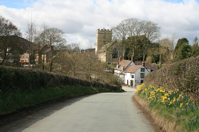
Cardington is a village and civil parish in Shropshire, England. It is situated south of Shrewsbury, near Caer Caradoc Hill, and the nearest town is Church...

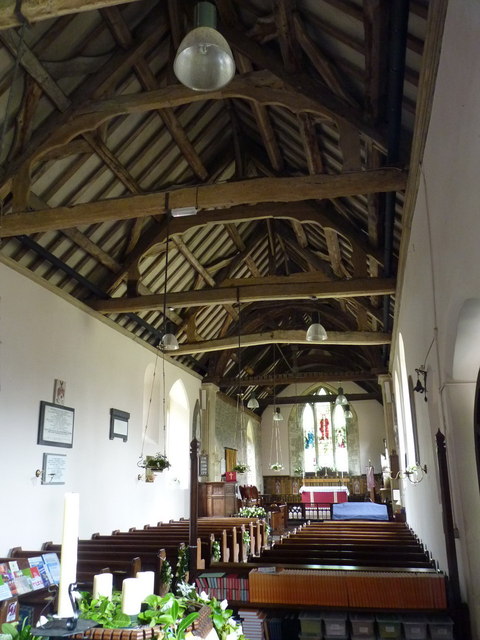
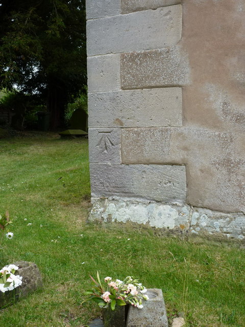
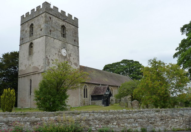
St James' Church, Cardington
St James' Church stands in an elevated position in the village of Cardington, Shropshire, England. It is an active Anglican parish church in the deanery...

Shropshire Hills
The Shropshire Hills are a dissected upland area and one of the natural regions of England. They lie wholly within the county of Shropshire and encompass...
Nearby Amenities
Located within 500m of 52.543854,-2.7203949Have you been to Hillend Coppice?
Leave your review of Hillend Coppice below (or comments, questions and feedback).