Manorial Earthworks
Heritage Site in Shropshire
England
Manorial Earthworks
Manorial Earthworks, located in Shropshire, is a heritage site that holds significant historical value. These earthworks are remnants of a medieval manor, which was a self-sufficient agricultural estate during the Middle Ages. The site is spread across a vast area and consists of various earthwork features that provide insights into the lifestyle and functioning of the manorial system.
The most prominent feature of the Manorial Earthworks is the moat, which encloses the central manor house. The moat served both as a defensive measure and as a status symbol, showcasing the wealth and power of the manor's owner. Additionally, there are traces of other buildings, such as barns, stables, and workshops, which were integral parts of the manor's infrastructure.
The site also exhibits evidence of agricultural practices, with the presence of ridge and furrow patterns. These patterns indicate the cultivation methods employed during the medieval period, where long, parallel ridges were created to maximize arable land.
Manorial Earthworks offers a unique opportunity to explore and understand the social and economic structure of medieval society. The site provides a glimpse into the lives of the lords, peasants, and laborers who inhabited and worked on the manor. It serves as a valuable archaeological resource, shedding light on the evolution of society, agriculture, and settlement patterns in Shropshire during the Middle Ages.
Visitors to Manorial Earthworks can explore the site through guided tours, archaeological displays, and interpretation boards that provide historical context. The site also offers educational programs for schools and researchers interested in studying medieval history and archaeology.
If you have any feedback on the listing, please let us know in the comments section below.
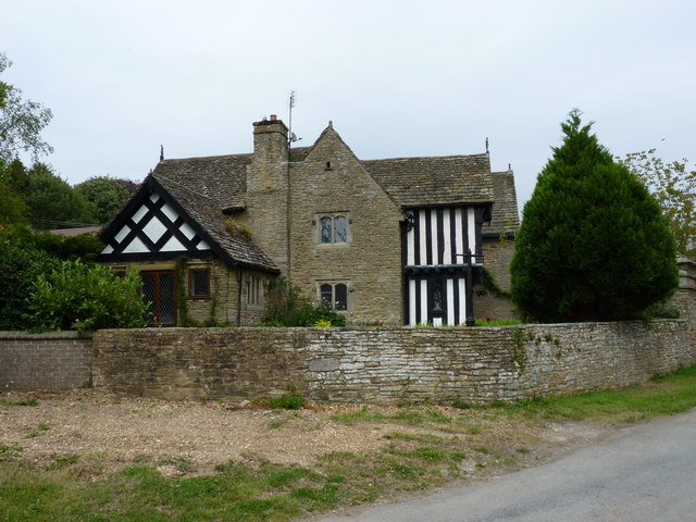
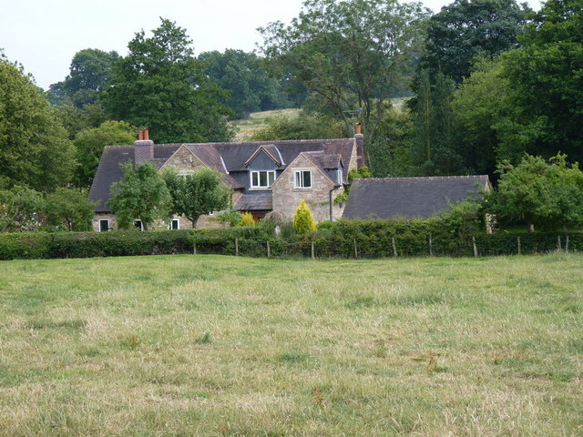
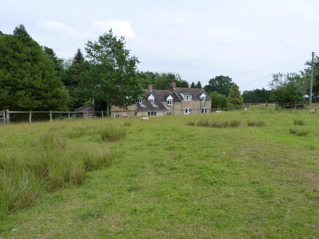
Manorial Earthworks Images
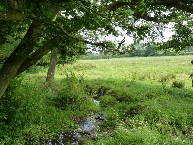
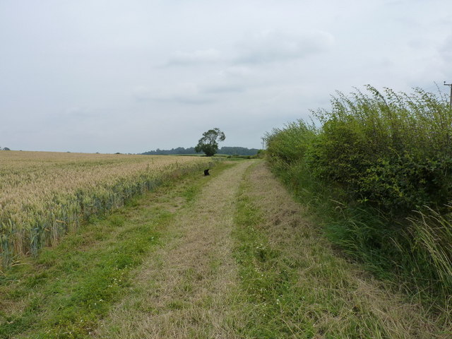
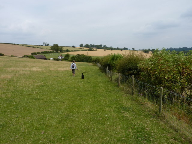
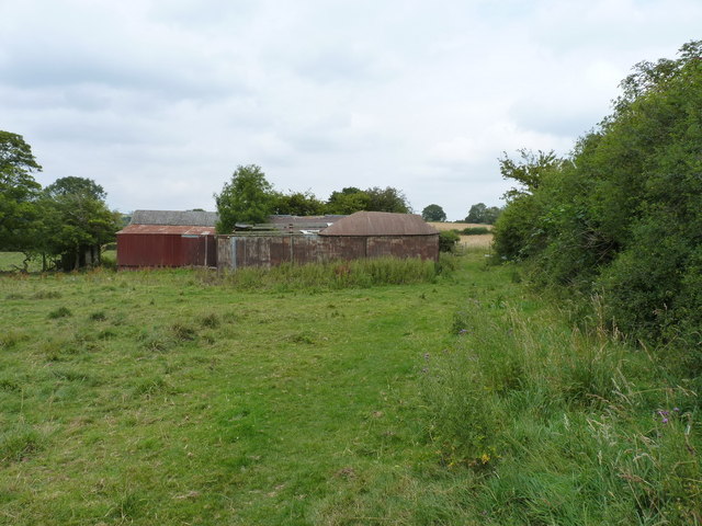
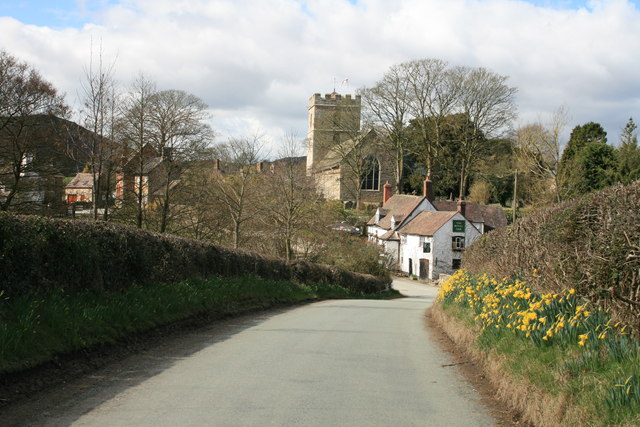
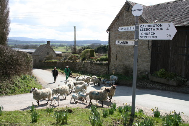
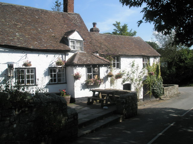
Images are sourced within 2km of 52.545/-2.715 or Grid Reference SO5194. Thanks to Geograph Open Source API. All images are credited.
Manorial Earthworks is located at Grid Ref: SO5194 (Lat: 52.545, Lng: -2.715)
Unitary Authority: Shropshire
Police Authority: West Mercia
What 3 Words
///speaks.amid.inhabited. Near Cardington, Shropshire
Nearby Locations
Related Wikis

Gretton, Shropshire
Gretton is a hamlet in the civil parish of Cardington, in the Shropshire district, in the ceremonial county of Shropshire. It lies immediately to the east...
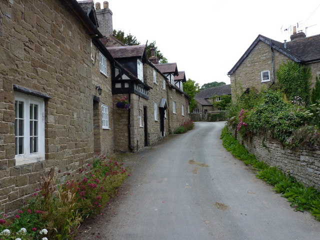
Cardington, Shropshire
Cardington is a village and civil parish in Shropshire, England. It is situated south of Shrewsbury, near Caer Caradoc Hill, and the nearest town is Church...

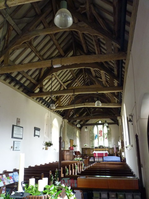
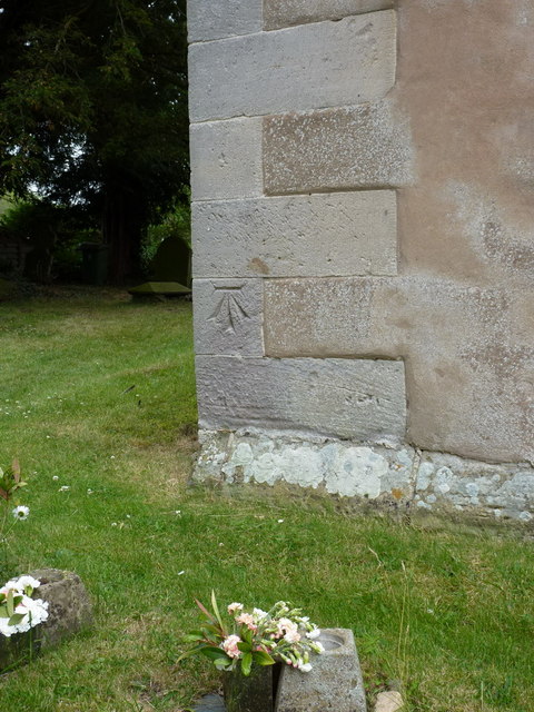
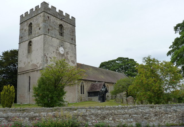
St James' Church, Cardington
St James' Church stands in an elevated position in the village of Cardington, Shropshire, England. It is an active Anglican parish church in the deanery...

Plaish Hall
Plaish Hall is a country house in Plaish, in the civil parish of Cardington, in the Shropshire district, in the ceremonial county of Shropshire, England...
Nearby Amenities
Located within 500m of 52.545,-2.715Have you been to Manorial Earthworks?
Leave your review of Manorial Earthworks below (or comments, questions and feedback).