Manorial Earthworks
Heritage Site in Herefordshire
England
Manorial Earthworks

Manorial Earthworks, Herefordshire, is a significant heritage site located in the county of Herefordshire, England. These earthworks hold historical and archaeological importance, providing valuable insights into the medieval landscape and the manorial system that once existed in the region.
The site comprises a series of earthworks that were once part of a medieval manor house and its surrounding agricultural landscape. The earthworks include the remains of a moat, fishponds, and ridge and furrow fields, all of which are characteristic features of a manorial complex.
The moat, surrounding the manor house, is a well-preserved earthwork that served as a defensive measure, protecting the manor from potential intruders. The fishponds, located nearby, were used for the cultivation and storage of fish, providing a reliable source of food for the inhabitants.
The ridge and furrow fields, visible in the surrounding landscape, are evidence of the agricultural practices employed in the medieval period. These raised ridges and sunken furrows were created by repeated plowing, indicating the presence of a well-organized farming system.
The Manorial Earthworks, Herefordshire, are crucial in understanding the social and economic structure of medieval society in this region. They provide glimpses into the lives of the people who lived and worked on the manor, offering insights into their daily routines, agricultural practices, and defensive strategies.
The site is of immense historical value and is protected as a designated heritage site, attracting visitors interested in exploring and learning about the medieval past of Herefordshire.
If you have any feedback on the listing, please let us know in the comments section below.
Manorial Earthworks Images
Images are sourced within 2km of 52.277/-2.712 or Grid Reference SO5164. Thanks to Geograph Open Source API. All images are credited.


Manorial Earthworks is located at Grid Ref: SO5164 (Lat: 52.277, Lng: -2.712)
Unitary Authority: County of Herefordshire
Police Authority: West Mercia
What 3 Words
///ribs.cult.forwarded. Near Kimbolton, Herefordshire
Nearby Locations
Related Wikis

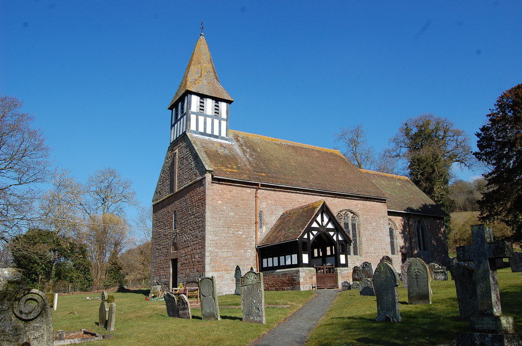
Ashton, Herefordshire
Ashton is a village in the Eye, Moreton and Ashton civil parish of Herefordshire, England, and is 3 miles (5 km) north from Leominster, 15 miles (24 km...

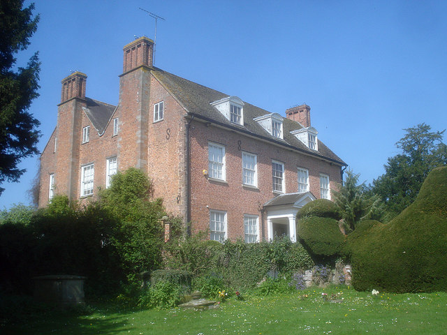
Berrington Hall
Berrington Hall is a country house located about 3 miles (5 km) north of Leominster, Herefordshire, England. During the 20th century it was the seat of...

Eye, Moreton and Ashton
Eye, Moreton and Ashton is a civil parish in the county of Herefordshire, England. The parish is 15 miles (24 km) north from the city and county town of...
Castle Frome
Castle Frome is a village and civil parish in the county of Herefordshire, England, and is 10 miles (16 km) north-east from the city and county town of...
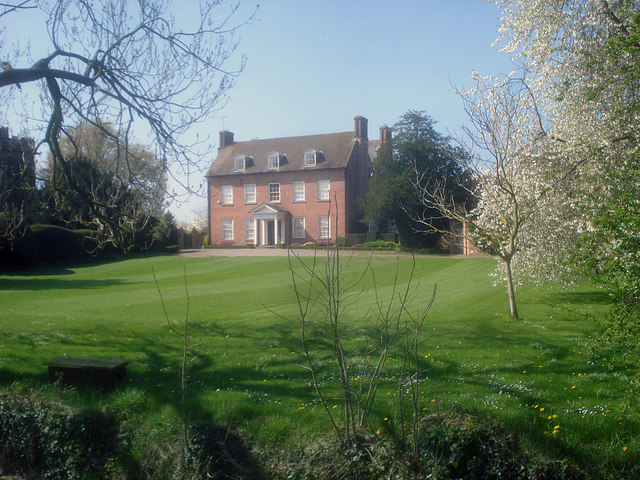
Eye Manor
Eye Manor is a Carolean manor house in Eye, Herefordshire, England. It dates from the late 17th century and was built for Ferdinando Gorges. Noted for...
Eye, Herefordshire
Eye is a small village in the Eye, Moreton and Ashton civil parish of Herefordshire, England, and 3 miles (5 km) north from Leominster, 15 miles (24 km...
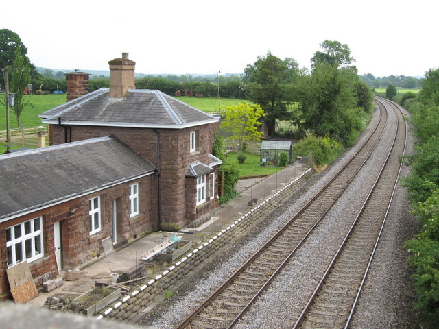
Berrington and Eye railway station
Berrington and Eye railway station was located in Eye, Herefordshire. It opened on 6 December 1853 and closed on 9 June 1958. The station was opened under...

Middleton on the Hill
Middleton on the Hill is a village in north east Herefordshire, England, near the border with Worcestershire. Middleton-on-the-Hill lies a few miles to...
Nearby Amenities
Located within 500m of 52.277,-2.712Have you been to Manorial Earthworks?
Leave your review of Manorial Earthworks below (or comments, questions and feedback).