Black Wood
Wood, Forest in Cheshire
England
Black Wood

Black Wood is a picturesque forest located in the county of Cheshire, England. Situated in the heart of the countryside, this enchanting woodland spans over a significant area, providing a haven for nature enthusiasts and outdoor adventurers alike.
Known for its dense canopy and towering trees, Black Wood offers a diverse range of flora and fauna, making it a popular destination for those seeking tranquility and natural beauty. The forest is dominated by a variety of deciduous and coniferous trees, including oak, beech, pine, and birch, creating a rich tapestry of colors throughout the seasons. This vibrant ecosystem supports a wide array of wildlife, including deer, squirrels, foxes, and numerous bird species.
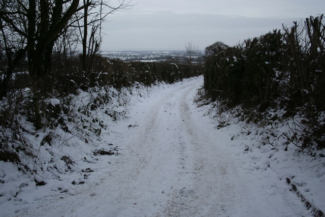
Visitors to Black Wood can explore its numerous walking trails, allowing them to immerse themselves in the peaceful surroundings. The forest is crisscrossed with well-maintained paths, making it accessible for hikers of all abilities. Along the way, one can discover hidden streams, picturesque ponds, and secluded picnic spots, providing the perfect opportunity to pause and appreciate the natural beauty.
Black Wood is also steeped in history, with ancient remains and archaeological sites scattered throughout the forest. These remnants serve as a reminder of the area's rich past and provide a fascinating insight into the lives of those who once inhabited the land.
Overall, Black Wood in Cheshire offers a serene escape from the bustling city life. Its idyllic setting, diverse wildlife, and historical significance make it a must-visit destination for nature lovers and history enthusiasts alike.
If you have any feedback on the listing, please let us know in the comments section below.
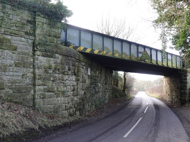
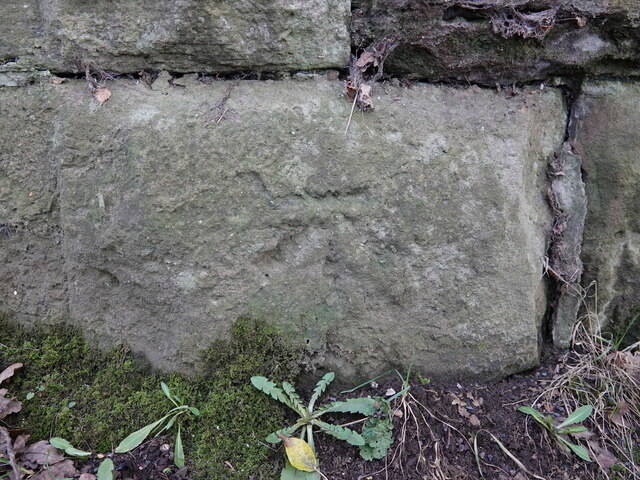
Black Wood Images
Images are sourced within 2km of 53.229994/-2.7298865 or Grid Reference SJ5170. Thanks to Geograph Open Source API. All images are credited.


Black Wood is located at Grid Ref: SJ5170 (Lat: 53.229994, Lng: -2.7298865)
Unitary Authority: Cheshire West and Chester
Police Authority: Cheshire
What 3 Words
///neckline.irony.troubled. Near Mouldsworth, Cheshire
Nearby Locations
Related Wikis

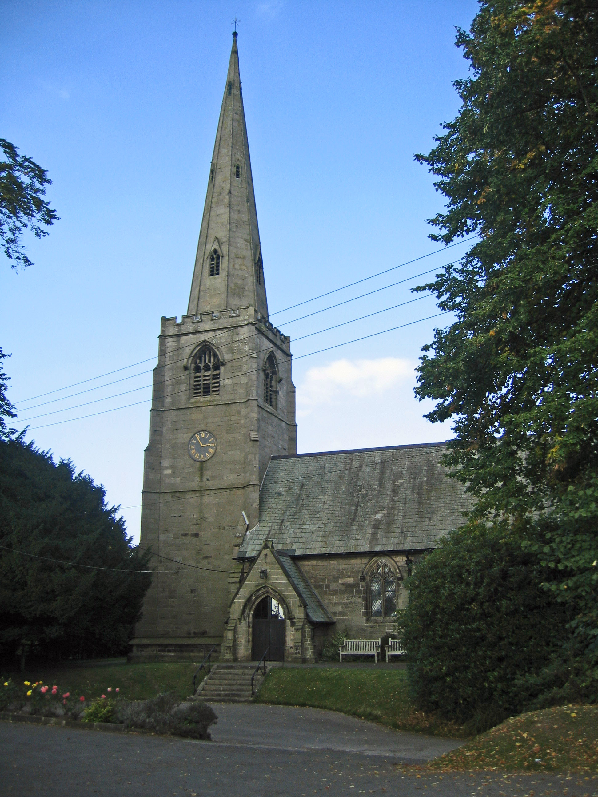
Church of St Cuthbert by the Forest
The Church of St Cuthbert by the Forest is in the village of Mouldsworth, Cheshire, England. It is an active Roman Catholic church in the diocese of Shrewsbury...

Mouldsworth railway station
Mouldsworth railway station opened on 22 June 1870 and serves the village of Mouldsworth in Cheshire, England. It is managed by Northern Trains. The station...

Mouldsworth
Mouldsworth is a village and civil parish on the outskirts of Chester in the unitary authority of Cheshire West and Chester and the ceremonial county of...
St John the Evangelist's Church, Ashton Hayes
St John the Evangelist's Church is located to the north of the village of Ashton Hayes, Cheshire, England. It is an active Anglican parish church in the...
Manley, Cheshire
Manley is a village and civil parish in the unitary authority of Cheshire West and Chester (formerly Vale Royal) and the ceremonial county of Cheshire...
Ashton Hayes
Ashton Hayes is a village and former civil parish, now in the parish of Ashton Hayes and Horton-cum-Peel, in the unitary authority of Cheshire West and...
Horton-cum-Peel
Horton-cum-Peel is a former civil parish, now in the parish of Ashton Hayes and Horton-cum-Peel, in the Borough of Cheshire West and Chester and ceremonial...
Peel Hall, Cheshire
Peel Hall is a country house near the village of Ashton Hayes, Cheshire, England. It is recorded in the National Heritage List for England as a designated...
Nearby Amenities
Located within 500m of 53.229994,-2.7298865Have you been to Black Wood?
Leave your review of Black Wood below (or comments, questions and feedback).