John Hall's Wood
Wood, Forest in Lancashire Wyre
England
John Hall's Wood
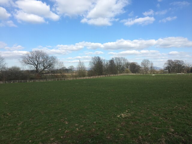
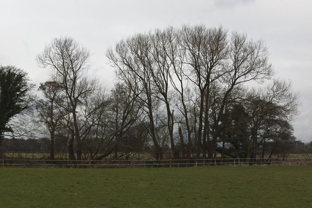
John Hall's Wood, also known as Wood Forest, is a picturesque woodland located in the county of Lancashire, England. Spanning approximately 200 acres, this ancient forest is a haven for nature enthusiasts and offers a tranquil escape from the hustle and bustle of everyday life.
The woodland is named after John Hall, a prominent figure in the local community who dedicated his life to preserving the natural beauty of the area. Today, his legacy lives on in the form of this remarkable forest, which is managed by a team of dedicated conservationists.
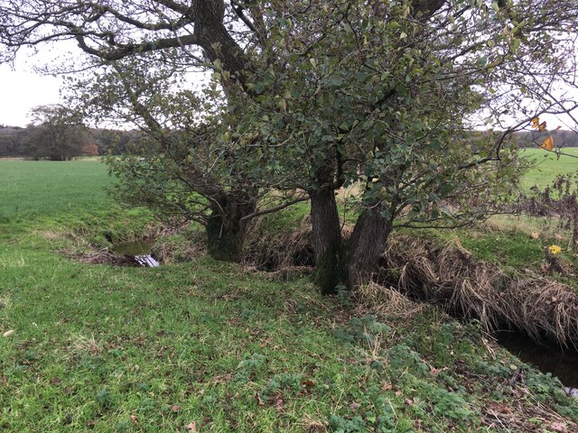
The woodland is home to a diverse range of flora and fauna, with towering oak, beech, and birch trees dominating the landscape. These majestic trees provide a habitat for numerous woodland creatures, including deer, badgers, squirrels, and a variety of bird species. The forest floor is carpeted with a rich tapestry of wildflowers, adding bursts of color to the serene surroundings.
Visitors to John Hall's Wood can explore the forest via a network of well-maintained walking trails. These paths wind their way through the trees, offering glimpses of enchanting glades and secluded clearings. Nature lovers can immerse themselves in the peaceful ambiance, enjoying the sights and sounds of the woodland.
The forest also boasts several picnic areas, allowing visitors to relax and enjoy a meal amidst the natural beauty. Additionally, there are educational programs and guided tours available for those interested in learning more about the history and ecology of John Hall's Wood.
Overall, John Hall's Wood is a captivating destination for anyone seeking a tranquil retreat in the heart of Lancashire's countryside. Its untouched beauty and rich biodiversity make it a true gem for both locals and tourists alike.
If you have any feedback on the listing, please let us know in the comments section below.
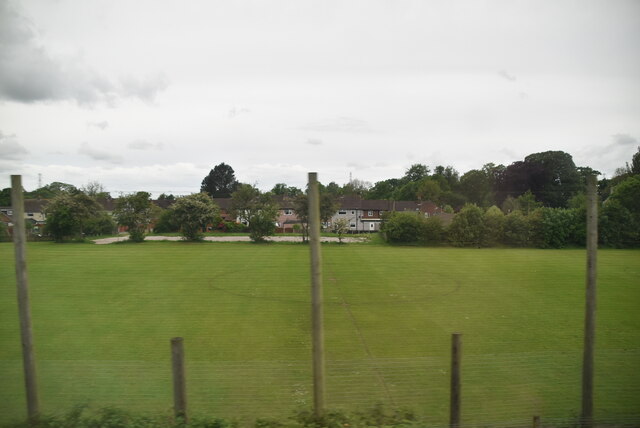
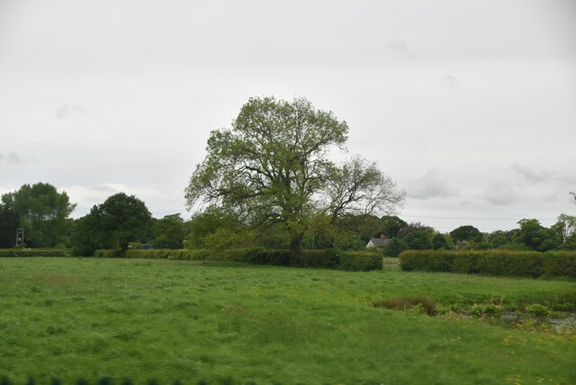
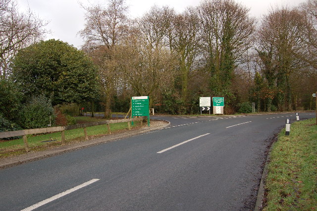
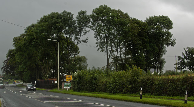
John Hall's Wood Images
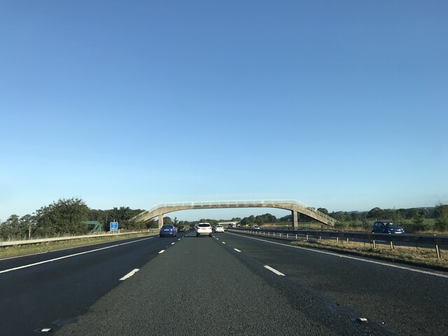
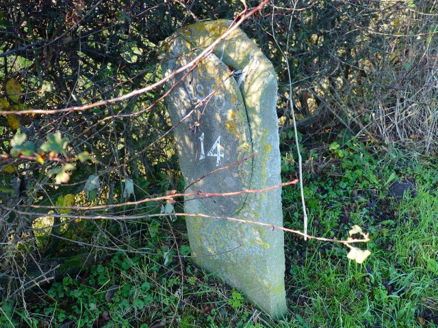
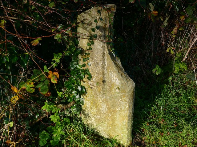
Images are sourced within 2km of 53.866966/-2.7575547 or Grid Reference SD5041. Thanks to Geograph Open Source API. All images are credited.


John Hall's Wood is located at Grid Ref: SD5041 (Lat: 53.866966, Lng: -2.7575547)
Administrative County: Lancashire
District: Wyre
Police Authority: Lancashire
What 3 Words
///technical.cookie.quiz. Near Catterall, Lancashire
Nearby Locations
Related Wikis
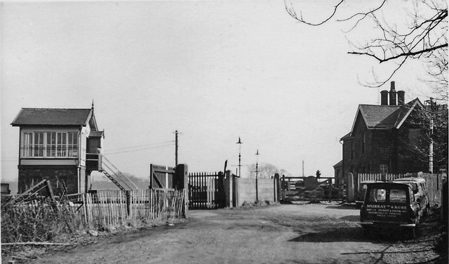
Brock railway station
Brock railway station served the hamlet of Brock near Bilsborrow, Lancashire, England, from 1849 to 1939 on the Lancaster and Preston Junction Railway...

Catterall
Catterall is a village and civil parish in the borough of Wyre, Lancashire, England. Historically in the Amounderness Hundred, it is situated on the A6...

Myerscough College
Myerscough College (pronounced as Myers-coe) is a Higher and Further Education college near Bilsborrow on the Fylde in Lancashire, England. == Origins... ==
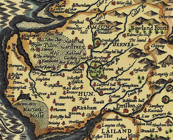
Amounderness Hundred
The Amounderness Hundred ( ə-MUN-dər-nəs) is one of the six subdivisions of the historic county of Lancashire in North West England, but the name is older...
Bilsborrow
Bilsborrow is a village and former civil parish, now in the parish of Myerscough and Bilsborrow, in the Wyre district, in the county of Lancashire, England...
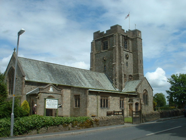
St Hilda's Church, Bilsborrow
St Hilda's Church is in Bilsborrow Lane in the village of Bilsborrow, Lancashire, England. It is an active Anglican parish church in the deanery of Garstang...
Myerscough and Bilsborrow
Myerscough and Bilsborrow () is a civil parish in the Borough of Wyre in Lancashire, England. It was formed on 1 April 2003 as a merger of the former parishes...
Roebuck railway station
Roebuck railway station served the village of Bilsborrow, Lancashire, England, from 1840 to 1849 on the Lancaster and Preston Junction Railway. == History... ==
Nearby Amenities
Located within 500m of 53.866966,-2.7575547Have you been to John Hall's Wood?
Leave your review of John Hall's Wood below (or comments, questions and feedback).